Install
Wiggins, MS 39577 Weather
Current conditions
Observed at Hattiesburg, Bobby L Chain Municipal Airport · 54 min ago
Forecast
10-day-
Tonight
Clear, with a low around 53. Northeast wind 0 to 5 mph.
-
Friday
Sunny, with a high near 82. Northeast wind around 5 mph.
-
Friday Night
Clear, with a low around 52. East wind 0 to 5 mph.
National Weather Service forecast updated 20 hrs ago.
Hourly
Hourly forecast- Now60°
- Fri12 AM58°
- 1 AM57°
- 2 AM56°
- 3 AM56°
- 4 AM55°
- 5 AM54°
- 6 AM54°
- 7 AM53°
- 8 AM55°
- 9 AM61°
- 10 AM68°
- 11 AM73°
- 12 PM77°
- 1 PM80°
- 2 PM82°
- 3 PM82°
- 4 PM82°
- 5 PM80°
- 6 PM75°
- 7 PM69°
- 8 PM65°
- 9 PM62°
- 10 PM61°
10-day forecast
Details- TodayOct 22Sunny53°83°
- FriOct 23Sunny52°82°
- SatOct 24Sunny52°78°
- SunOct 25Sunny51°79°
- MonOct 26Mostly Sunny53°79°
- TueOct 27Mostly Sunny52°80°
- WedOct 28Mostly Sunny52°81°
- ThuOct 29Partly cloudy52°80°
- FriOct 30Partly cloudy56°78°
- SatOct 31Cloudy50°74°
Days after the National Weather Service's seven are MET Norway's outlook, a computer model with no forecaster's review.
Radar
Full mapWeather news in Mississippi
More weather news-
 Cool jackets Thursday morning, T-shirts by lunch! Perfect fall day ahead in South Mississippi
WLOX If you’re heading out the door Thursday morning, take a light jacket! Temps are running from the 40s and 50s inland to right around 60 on the coast. It’s that crisp, fall feel to start the day. Now, the bigger…
-
 The fall-like feel continues for South Mississippi
It’s already feeling a little cool tonight, and even more so by morning as temperatures fall back to the upper 40s and low 50s. Expect plenty of sunshine over the next several days, with afternoon highs mostly in the…
-
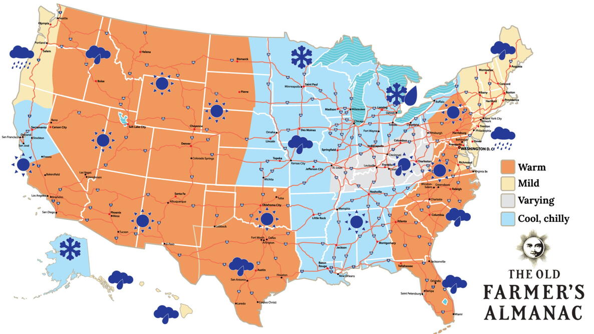 Old Farmer’s Almanac predicts Thanksgiving weather in Mississippi
The Old Farmer’s Almanac has released its weather forecast for Thanksgiving 2026, predicting a mix of sunshine, rain, and snow across the country. But what does the forecast have in store for Mississippi? According to…
-
 Clear nights and sunny skies on tap for south Mississippi
We are in for a beautiful stretch of fall weather this week, with plenty of sunshine and comfortable temperatures expected through early next week. Tuesday through Friday will bring sunny skies and highs near 80…
-
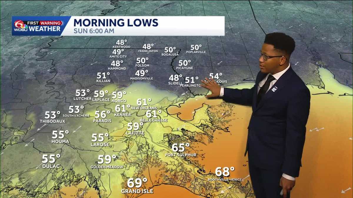 Chilly mornings return to Southeast Louisiana and Coastal Mississippi's weather forecast
Thanks to Friday's cold front, cooler air continues to move into the Deep South, including Southeast Louisiana and Coastal Mississippi. Temperatures across the Northshore Sunday morning will fall to the upper 40s and…
-
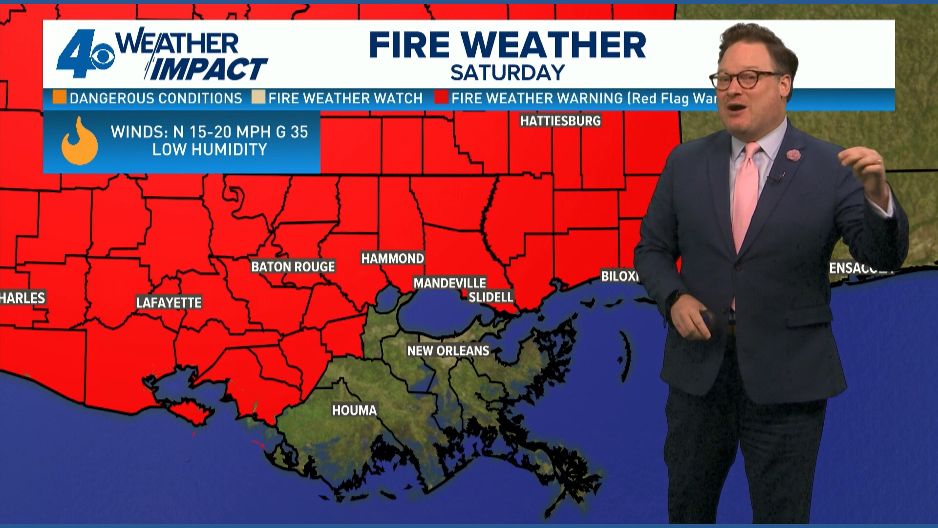 Red Flag Warning issued for parts of southeast Louisiana, southern Mississippi ahead of dry conditions
The National Weather Service has issued a Red Flag Warning for parts of southeast Louisiana and all of southern Mississippi on Friday. The warning is in effect from 9 a.m. until 8 p.m. on Saturday as forecasters say a…
-
 Ready for Old Man Winter? Early preparations begin in Mississippi
As El Niño looms over the U.S. -- the National Oceanic and Atmospheric Administration predicts an early winter for Mississippians. So, Twin States News spoke to people in the Meridian area about how they're preparing…
-
 Upper Mississippi River
WXOW Watch: WIAA Football Bracket Reveal Show on Saturday, Oct. 17 Freeze Warning from SAT 1:00 AM CDT until SAT 9:00 AM CDT Courtesy Upper Mississippi River National Wildlife and Fish Refuge Boaters asked to avoid…
-
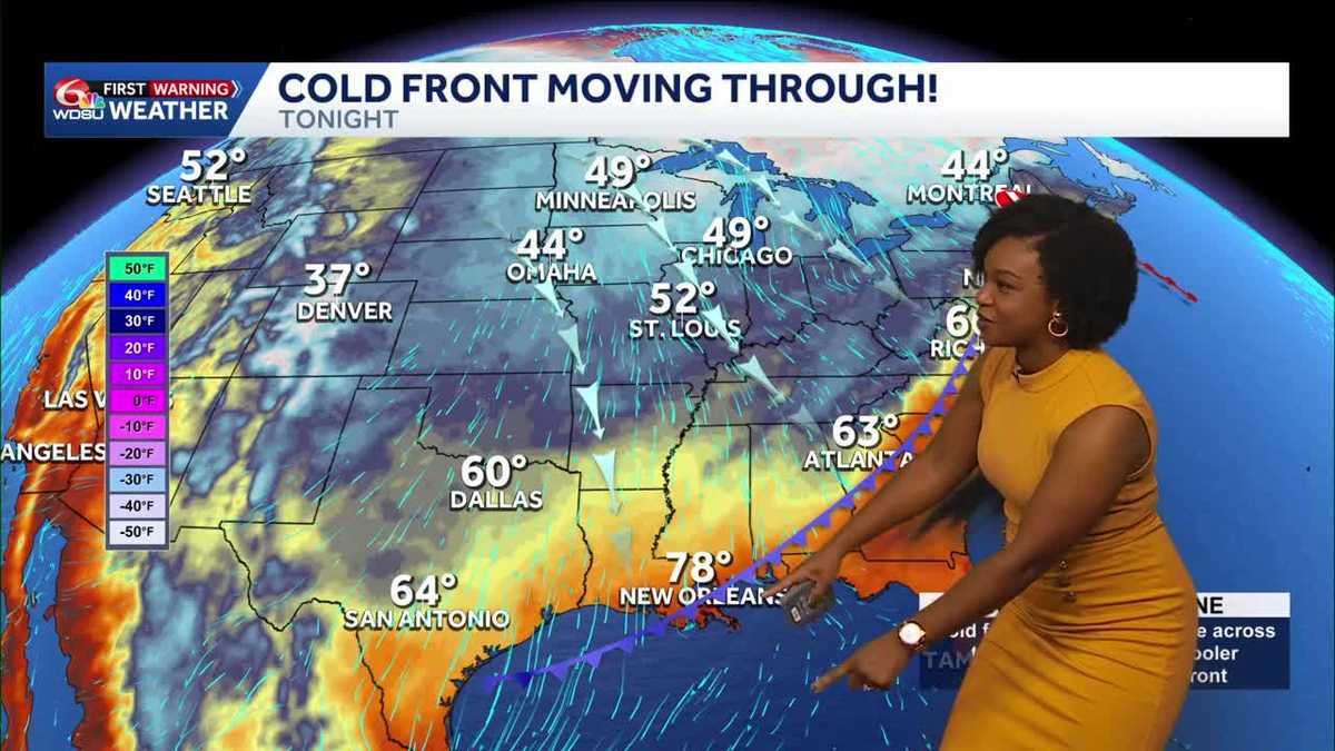 Southeast Louisiana, Mississippi weather: Cold front brings gusty winds and a cooler weekend
Highs reach 87–90 Friday before cooler air arrives tonight. A Wind Advisory begins at 4 p.m., with increased fire danger Saturday. A big change arrives today as a cold front brings gusty north winds and much cooler air…
- ONE LAST TASTE OF SUMMER FRIDAY, THEN WHAM: FALL BLAST BRINGS 40s, GUSTY WINDS TO SOUTH MISSISSIPPI
Enjoy the warmth Friday morning, grab the jacket by Friday night — gusty north winds, chilly 40s, and fire danger headline your weekend ’Some sus s--- going on’: What Nolan Wells’ friends said in texts after he…
Air quality
Acceptable. Unusually sensitive people should consider limiting prolonged outdoor exertion.
Hattiesburg, MS reporting area · 1 hr ago. Data from AirNow (EPA and its state, local and tribal partners); preliminary and subject to change.
Sun & moon
Almanac
MonthlyWiggins, records since 1946. Normals 1991–2020. Data from NOAA's Regional Climate Centers (ACIS).
Nearby
- Gulfport 55 km
- West Gulfport 51 km
- Hattiesburg 54 km
- Biloxi 57 km
- Ocean Springs 58 km
- Long Beach 57 km
- Carriere 57 km
- D'Iberville 54 km
- Petal 55 km
- Diamondhead 56 km
- Saint Martin 53 km
- Gulf Hills 55 km
Forecasters' discussion
From the National Weather Service office in MOB, issued 5 hrs ago
Key Messages
Issued at 605 PM CDT Thu Oct 22 2026
- Moderate to strong northeast winds will create hazardous conditions for small craft over most of the marine area Friday night continuing into early next week.
- A High Risk of rip currents is expected for beach areas from Saturday through Monday night.
Update
Issued at 605 PM CDT Thu Oct 22 2026
Current forecast on track this evening, with no updates planned at this time. /16
Discussion
Issued at 323 PM CDT Thu Oct 22 2026
Starting out late this morning rather quiet yet again. GOES-16 Satellite illustrates completely clear skies across the southeastern US dominated by a large surface high anchored over the great lakes, promoting upper-level subsidence across nearly the entire central and eastern US. Upper-level maps highlight the attendant deep/high amplitude ridge over the central US, with a dry mid/upper-level impulse diving south into the central Gulf as indicated by a pocket of colder H5 temperatures aloft and associated PVA which, given how dry the tropospheric profile is, only has a few clouds and shower/storms over the central Gulf. Atmospheric PW's in the 0.5-0.65 inch range per GOES-16 derived precipitable water product falls at or below the 10th percentile for this time of the year highlighting how anomalously dry this airmass is.
Having said all of that, for today, only main adjustments were focused on dewpoints and minimum temperatures following along recent trends. Starting with dewpoints, a deep PBL mixing regime setting up later this afternoon will again drop dewpoints below NBM deterministic suggested values. Verification from yesterday (area mean dewpoints) placed RTMA/observed dewpoints closest to verify with the NBM05th percentile. Impressive but not uncommon in anomalously dry airmasses like this. Went ahead with a 05th percentile blend for this afternoon mainly, and again into each afternoon into the weekend. This places minimum RH's this afternoon in the 30-40% range, but drops some going into Friday and Saturday as we get a reinforcing shot of drier air spilling in from the northeast following the surface high diving south across the eastern US, compacting pressure gradient which in turn increases the winds. Fire weather concerns may need to be closely monitored, mainly for western areas Saturday and Sunday. Meanwhile for areas east, concerns remain for those still burning tree debris left over from Hurricane Isaias - With breezy winds and even though RH's are not exactly in criteria, wanted to stress those to use extreme caution and take safety precautions when burning.
As for overnight lows, made slight lowering adjustments each morning. The NBM Deterministic bias has attempted to try to catch up to the past several days cold bias, with the deterministic now even below the lowest percentile member (5th percentile). Again, impressive but reflects the extreme warm bias in short-range models. Given verification trends, went deterministic since it was the coldest values through the next 3 mornings but dipped it a couple degrees even lower. Didn't want to overshoot too far as percentile spread this extreme yields lower confidence, but wanted to keep trends in the right direction.
As previously mentioned, the reinforcing shot of drier air and tightening pressure gradient winds over the weekend will bring back breezy ENE winds. Highs will drop several degrees Saturday and it'll feel cooler/drier but again, overall, very little impacts other than exercising extreme caution if planning to do any burning. Again will closely monitor the degree of the dry air and winds across the swath that experienced extreme tree damage and will continue to stress caution if burning.
Beyond this weekend into next week, diving into cluster analysis and long-range trends, looking relatively deamplified across the US into a quasi-zonal H5 pattern. Few low amplitude shortwave impulses riding the flow could introduce partly cloudy skies around mid-week, but appears mainly dry. Long-range ensembles per cluster analysis is in relatively good agreement overall with no extreme swings. Some minor decrepancies between the potential in PacNW or west coast troughing, that would eventually trickle downstream to our area beyond 7 days. Swing solutions here vary, as ofcourse, deeper troughing could eject disturbances over the Mexican Plateau into the central/southern MS valley region introducing the potential for storms going into the first week of November. Definitely too early to narrow down specifics but will
Aviation
(00Z TAFS) Issued at 605 PM CDT Thu Oct 22 2026
General VFR conditions expected through the forecast. Light winds overnight transition to easterly 5 to 10 knots Friday morning. /16
Forecasts, observations and alerts in the United States come from the National Weather Service (NOAA); radar from NOAA's Multi-Radar Multi-Sensor system; satellite imagery from NASA's Global Imagery Browse Services (GIBS) and NOAA's GOES satellites; the map from the U.S. Geological Survey's National Map; air quality from AirNow (EPA and its partners); hurricane information from the National Hurricane Center; climate normals and records from NOAA's Regional Climate Centers (ACIS). Forecasts outside the United States and the UV index: MET Norway (CC BY 4.0); observations outside the U.S.: airport reports via NOAA's Aviation Weather Center. Place names: GeoNames (CC BY 4.0). Data are copied on a schedule and may lag the sources; for warnings that affect your safety, follow your local National Weather Service office and emergency officials. Weather news is drawn from the 4Search index and reflects what the press published. Terms of use.