Install
Venice, FL 34284 Weather
Current conditions
Observed at Sarasota / Bradenton, Sarasota-Bradenton International… · 1 hr ago
Forecast
10-day-
Tonight
Mostly clear, with a low around 62. North northeast wind around 10 mph, with gusts as high as 18 mph.
-
Thursday
Sunny, with a high near 82. North northeast wind around 12 mph.
-
Thursday Night
Mostly clear, with a low around 59. North northeast wind around 9 mph.
National Weather Service forecast updated 5 hrs ago.
Hourly
Hourly forecast- Now73°
- 11 PM72°
- Thu12 AM70°
- 1 AM69°
- 2 AM68°
- 3 AM67°
- 4 AM66°
- 5 AM64°
- 6 AM63°
- 7 AM62°
- 8 AM63°
- 9 AM66°
- 10 AM71°
- 11 AM74°
- 12 PM77°
- 1 PM79°
- 2 PM80°
- 3 PM81°
- 4 PM80°
- 5 PM80°
- 6 PM78°
- 7 PM75°
- 8 PM73°
- 9 PM71°
10-day forecast
Details- TodayOct 21Sunny62°84°
- ThuOct 22Sunny59°82°
- FriOct 23Sunny64°83°
- SatOct 24Sunny68°84°
- SunOct 25Sunny66°84°
- MonOct 26Sunny65°83°
- TueOct 27Sunny11%64°83°
- WedOct 28Mostly sunny67°85°
- ThuOct 29Mostly sunny67°86°
- FriOct 30Cloudy0.02 in70°85°
Days after the National Weather Service's seven are MET Norway's outlook, a computer model with no forecaster's review.
Radar
Full mapWeather news near Venice
More weather news-
 Low Humidity, High Winds, Major Sunshine
SARASOTA, Fla. (WWSB) - Saturday’s rain was mixed on the Suncoast. SRQ received a half inch (0.51) Our total for the month is 9.74”. Other areas received a quarter inch (0.22”) at Lakewood Ranch and Venice Airport…
-
 Trudy strengthens to a hurricane as system nears Mexico’s coast with major storm expected
ABC7 WWSB Trudy was located about 300 miles (480 kilometers) southwest of Acapulco, Mexico, with maximum sustained winds of 75 mph (120 kph), according to the U.S. National Hurricane Center in Miami. The hurricane was…
-
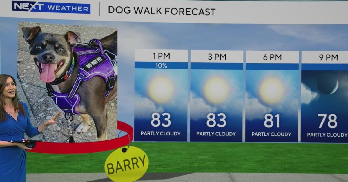 South Florida stays beautiful, breezy on Wednesday before heavy rain, king tides bring flood risk
The rest of Wednesday is expected to be beautiful, breezy and mainly dry. However, big changes are on the way that will be leading to a NEXT Weather Alert issues starting Sunday. CBS News Miami NEXT Weather…
-
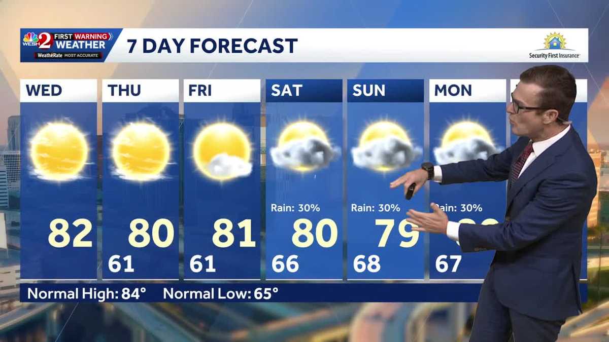 Cool this morning, mostly clear skies ahead for Central Florida
Central Florida is starting off nice and cool, with mostly clear skies expected today. High temperatures will remain around 80 degrees through the weekend, while morning lows stay in the lower 60s over the next few…
-
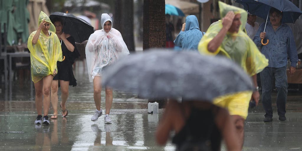 Slow-moving system could bring days of heavy rain and flooding to the Bahamas and Florida
A slow-moving system is developing near the Southwest Atlantic, bringing days of rain to Florida. Some areas could see 3 to 5 inches. A Level 1 out of 4 flash flood risk has been issued for Friday, while a Level 2 out…
- South Florida is feeling the 60s. How long will the cool last?
Welcome to the 60s. The feeling of fall returned early Wednesday as temperatures dipped below 70 in parts of South Florida. Fort Lauderdale and Kendall recorded 69 degrees and Pembroke Pines registered 68, according to…
-
 October 20: Terrific weather persists across South Florida
WPLG Local 10 The terrific weather persists across South Florida as humidity levels remain in check Miami-Dade and Broward counties can expect scattered clouds and north-northeast winds, sustained 10 to 15 mph, Tuesday…
-
 Invest 93L may develop, but South Florida is not in its path
West Palm Beach, Fla (CBS12) — The National Hurricane Center is monitoring Invest 93-L, a storm-force, non-tropical low located a few hundred miles off the North Carolina coast. The system is producing showers and…
-
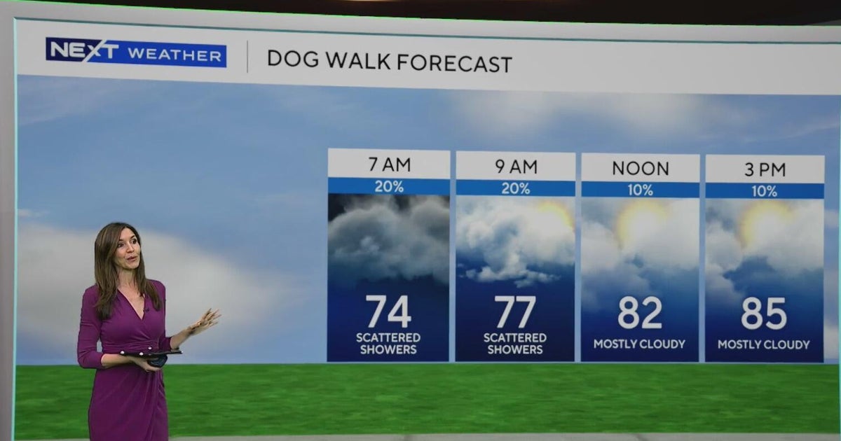 South Florida sees some showers Tuesday, but rain chances rise by end of week
October 20, 2026 / 8:59 AM EDT / CBS Miami Spotty showers were blowing in on the breeze on Tuesday morning in parts of South Florida, with most of the rain rolling in across Miami-Dade. We are also enjoying a taste of…
-
 Fall weather takes hold in Central Florida
ORLANDO, Fla. — Fall is in full swing across Central Florida this week, with afternoon temperatures hovering around 80 degrees and morning lows dipping into the 60s. After a weather system moved completely through the…
Air quality
Acceptable. Unusually sensitive people should consider limiting prolonged outdoor exertion.
Forecast
- WedModerate
- ThuModerate
- FriModerate
Sarasota, FL reporting area · 1 hr ago. Data from AirNow (EPA and its state, local and tribal partners); preliminary and subject to change.
Sun & moon
Almanac
MonthlySarasota-Bradenton Area, records since 1911. Normals 1991–2020. Data from NOAA's Regional Climate Centers (ACIS).
Nearby
- North Port 20 km
- Sarasota 24 km
- Bradenton 42 km
- Port Charlotte 36 km
- South Bradenton 38 km
- Punta Gorda Isles 41 km
- Punta Gorda 42 km
- Bayshore Gardens 35 km
- Englewood 23 km
- Sarasota Springs 19 km
- South Venice 13 km
- Palmetto 44 km
Forecasters' discussion
From the National Weather Service office in TBW, issued 3 hrs ago
Key Messages
- Hazardous marine conditions over the eastern Gulf waters over the next several days, mainly during the evening and overnight hours.
- A cooler and drier airmass with below average temperatures will continue through most of the week.
Update
Issued at 725 PM EDT Wed Oct 21 2026
Previous forecast reasoning remains unchanged with no adjustments planned for the evening update. CONUS U/A pattern remains rather amplified with a cutoff low offshore the SW U.S., strong W/C U.S. ridge, and a deep trough over the E Seaboard, with surface high pressure centered over the E U.S. extending south into the state maintaining occasionally breezy E/NE winds and generally dry, stable conditions under partly cloudy skies locally. Latest regional ACARS soundings and meso-analysis show PWATs remain right around 1 inch, or just above the 25th percentile, indicative of the relatively drier air mass that remains in place over the state. Slightly below normal temps continue overnight through Thursday, with morning lows from the lower 50s north to the lower 60s south, and afternoon highs from the upper 70s north to the lower/mid 80s south.
Discussion
Issued at 220 PM EDT Wed Oct 21 2026 The pattern aloft this afternoon features ridging over the southern U.S./Mexico with a low off the mid-Atlantic coast and troughing extending southward over Florida. At the surface, high pressure is settled north of the state with low pressure moving up the eastern seaboard. This setup will keep relatively cool and dry conditions in place through the next few days.
For Friday into the weekend, a cutoff low tries to form south of the region before opening up and moving northeast while a surface low attempts to organize along an old frontal boundary near the Bahamas. This pattern shift will allow northeast winds to increase once again as the pressure gradient tightens and will also lead to an increase in moisture for the southern part of the state. For the local forecast area, this will mean a slight uptick in rain chances mainly over southwest Florida and parts of the interior this weekend into early next week along with an increase in humidity. Highs will continue a few degrees below normal (closer to normal for southwest Florida) and lows will remain below normal as well but then increase by a few degrees for the latter half of the forecast period.
Aviation
(00Z TAFS) Issued at 725 PM EDT Wed Oct 21 2026
Dry VFR expected through the period with generally NE flow continuing across terminals, occasionally breezy.
Forecasts, observations and alerts in the United States come from the National Weather Service (NOAA); radar from NOAA's Multi-Radar Multi-Sensor system; satellite imagery from NASA's Global Imagery Browse Services (GIBS) and NOAA's GOES satellites; the map from the U.S. Geological Survey's National Map; air quality from AirNow (EPA and its partners); hurricane information from the National Hurricane Center; climate normals and records from NOAA's Regional Climate Centers (ACIS). Forecasts outside the United States and the UV index: MET Norway (CC BY 4.0); observations outside the U.S.: airport reports via NOAA's Aviation Weather Center. Place names: GeoNames (CC BY 4.0). Data are copied on a schedule and may lag the sources; for warnings that affect your safety, follow your local National Weather Service office and emergency officials. Weather news is drawn from the 4Search index and reflects what the press published. Terms of use.