Install
Bradenton, FL Weather
Current conditions
Observed at Sarasota / Bradenton, Sarasota-Bradenton International… · 24 min ago
Forecast
10-day-
Tonight
Clear, with a low around 64. Northeast wind around 10 mph, with gusts as high as 20 mph.
-
Wednesday
Sunny, with a high near 82. North northeast wind around 10 mph.
-
Wednesday Night
Mostly clear, with a low around 64. Northeast wind around 10 mph, with gusts as high as 20 mph.
National Weather Service forecast updated 10 hrs ago.
Hourly
Hourly forecast- Now67°
- 2 AM66°
- 3 AM65°
- 4 AM64°
- 5 AM64°
- 6 AM64°
- 7 AM64°
- 8 AM64°
- 9 AM66°
- 10 AM70°
- 11 AM74°
- 12 PM76°
- 1 PM78°
- 2 PM79°
- 3 PM80°
- 4 PM81°
- 5 PM81°
- 6 PM80°
- 7 PM78°
- 8 PM75°
- 9 PM74°
- 10 PM72°
- 11 PM71°
- Thu12 AM69°
10-day forecast
Details- TonightOct 20Clear64°
- TodayOct 21Sunny64°82°
- ThuOct 22Sunny63°80°
- FriOct 23Sunny65°80°
- SatOct 24Sunny12%67°81°
- SunOct 25Sunny66°81°
- MonOct 26Sunny10%65°82°
- TueOct 27Sunny then Isolated Rain Showers17%81°
- WedOct 28Partly cloudy70°79°
- ThuOct 29Sunny69°77°
Days after the National Weather Service's seven are MET Norway's outlook, a computer model with no forecaster's review.
Radar
Full mapWeather news near Bradenton
More weather news- Florida has that fall feeling this week. Check how cool it will get and when
Florida people can tell you when fall has arrived. It’s that time of year when the humidity and temperature drop just enough for us to walk the dog without the sauna feel. The time has come. This week, South Florida is…
-
 Invest 93L may develop, but South Florida is not in its path
West Palm Beach, Fla (CBS12) — The National Hurricane Center is monitoring Invest 93-L, a storm-force, non-tropical low located a few hundred miles off the North Carolina coast. The system is producing showers and…
-
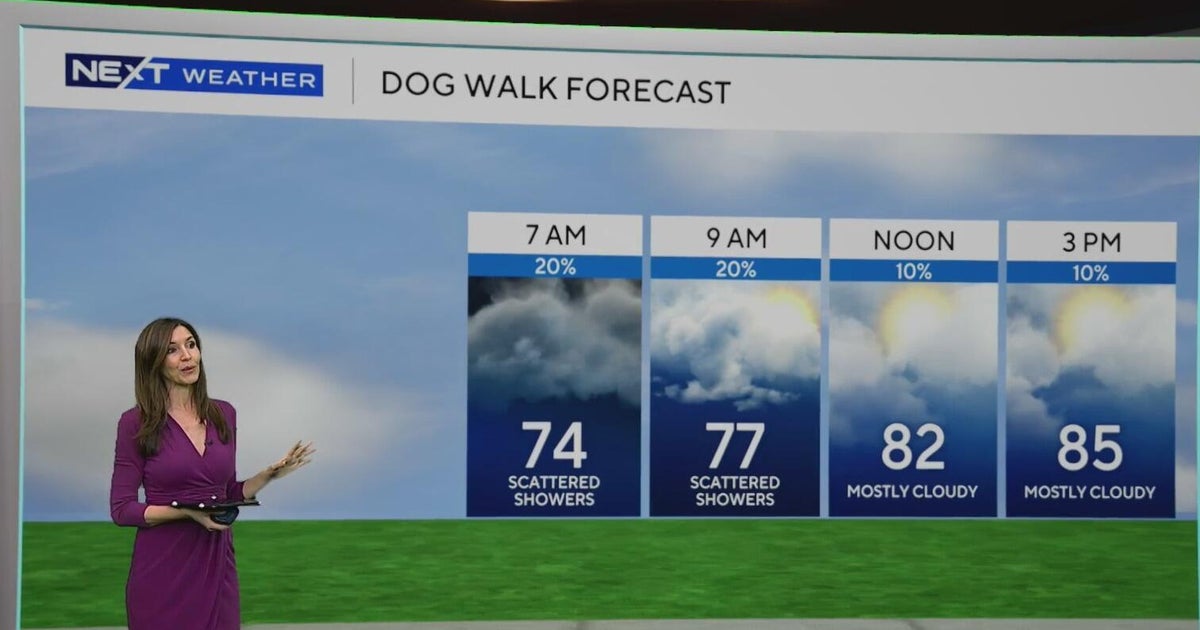 South Florida sees some showers Tuesday, but rain chances rise by end of week
October 20, 2026 / 8:59 AM EDT / CBS Miami Spotty showers were blowing in on the breeze on Tuesday morning in parts of South Florida, with most of the rain rolling in across Miami-Dade. We are also enjoying a taste of…
-
 Fall weather takes hold in Central Florida
ORLANDO, Fla. — Fall is in full swing across Central Florida this week, with afternoon temperatures hovering around 80 degrees and morning lows dipping into the 60s. After a weather system moved completely through the…
-
 Southwest Florida Weather Forecast
WINK News Oct. 20, 2026 | 4 a.m. Currently in Fort Myers Hour by Hour Forecast - Sunshine sticks around as cooler temperatures continue across Southwest Florida - Shark kills woman swimming off South Africa's Eastern…
-
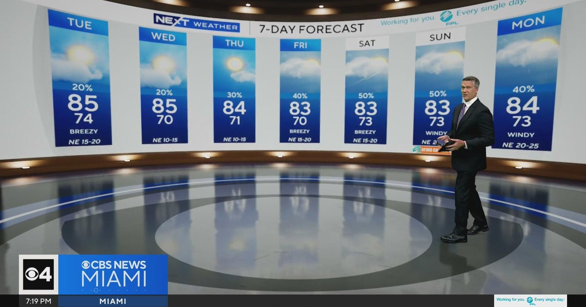 Temperatures lower to the early 80s and late 70s throughout South Florida
CBS News Miami is a local news organization that is part of CBS News and Stations. Also referred to as WFOR-TV and channel 4, CBS News Miami offers local breaking news, weather coverage and investigative reporting…
-
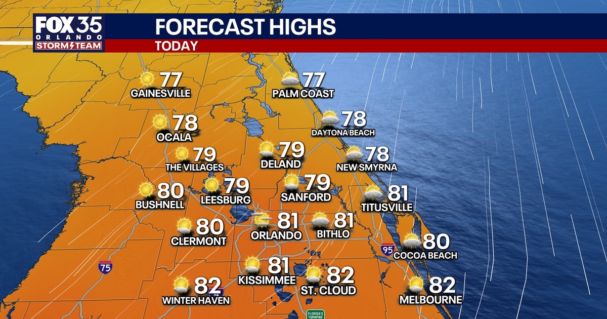 Orlando weather: Sunshine, comfortable weather in Central Florida this week
Expect sunshine and comfortable weather in Central Florida this week. Temperatures will be in the upper 70s and low 80s. FOX 35 Storm Team meteorologist Brooks Garner takes a look at the forecast. ORLANDO, Fla. - A…
-
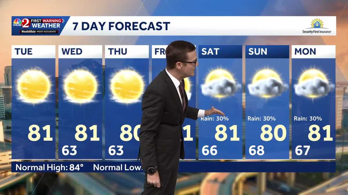 Cool morning temps, sunshine expected across Central Florida
Central Florida is waking up to cooler temperatures Tuesday morning, with comfortable conditions expected to continue throughout the day. Temperatures are starting in the 50s and 60s across much of the region, with some…
-
 ‘Storm-force’ system brings high surf to Florida, flood risk to US East Coast
A “storm-force” low-pressure system is forecast to bring high winds, coastal flooding and dangerous surf along portions of the U.S. East Coast this week, according to the National Hurricane Center. The center of the low…
- Will Invest 93L strengthen into Josephine? What impacts can Florida expect?
A system of low pressure off the east coast of the United States has been designated as Invest 93L, according to the latest advisory from the National Hurricane Center. If the system lingers over the warm Gulf Stream…
Air quality
Air quality is satisfactory, and air pollution poses little or no risk.
Forecast
- WedModerate
- ThuModerate
- FriModerate
Sarasota, FL reporting area · 1 hr ago. Data from AirNow (EPA and its state, local and tribal partners); preliminary and subject to change.
Sun & moon
Almanac
MonthlyBradenton 5 Ese, records since 1965. Normals 1991–2020. Data from NOAA's Regional Climate Centers (ACIS).
Nearby
- Tampa 51 km
- St. Petersburg 32 km
- Clearwater 56 km
- Brandon 56 km
- Largo 50 km
- Town 'n' Country 57 km
- Riverview 48 km
- Sarasota 19 km
- Pinellas Park 40 km
- Valrico 59 km
- Egypt Lake-Leto 58 km
- East Lake-Orient Park 57 km
Forecasters' discussion
From the National Weather Service office in TBW, issued 6 hrs ago
Key Messages
- Hazardous marine conditions over the eastern Gulf waters over the next several days.
- A cooler and drier airmass with below average temperatures will continue through most of the week.
Short Term (tdy-wed)
Issued at 247 PM EDT Tue Oct 20 2026
Mostly sunny skies across the peninsula have been sponsored by dry airmass being area of high pressure dominating from the Canadian border to the Southeast. This ridge is building behind a upper level low that continues to move into the Atlantic and aiding the advection of cooler air behind it across the CWA. As a result rain free conditions will be in place through the period. Overnight lows tonight will be touch cooler with some areas in the northern portions of the Nature Coast potentially getting down to the upper 40s. Breezy northeasterly winds prevail with evening surges possible.
On Wednesday, similar conditions are anticipated with slightly warmer temperatures in the evening.
Long Term (thu-mon)
Issued at 247 PM EDT Tue Oct 20 2026
High pressure continues to build but shifts north slightly. This will allow easterly flow to set up over the area going into Saturday. As a result, moisture will gradually increase and gradient will tighten, which will support hazardous marine conditions into early next week. Fortunately, relatively cooler afternoon temperatures remain in place during this time. POPs will increase mainly interior locations and SWFL.
Aviation
(00Z TAFS) NE winds with VFR conditions expected through the period as wind gusts subside.
Forecasts, observations and alerts in the United States come from the National Weather Service (NOAA); radar from NOAA's Multi-Radar Multi-Sensor system; satellite imagery from NASA's Global Imagery Browse Services (GIBS) and NOAA's GOES satellites; the map from the U.S. Geological Survey's National Map; air quality from AirNow (EPA and its partners); hurricane information from the National Hurricane Center; climate normals and records from NOAA's Regional Climate Centers (ACIS). Forecasts outside the United States and the UV index: MET Norway (CC BY 4.0); observations outside the U.S.: airport reports via NOAA's Aviation Weather Center. Place names: GeoNames (CC BY 4.0). Data are copied on a schedule and may lag the sources; for warnings that affect your safety, follow your local National Weather Service office and emergency officials. Weather news is drawn from the 4Search index and reflects what the press published. Terms of use.