Install
Albany, GA 31702 Weather
Current conditions
Observed at Moultrie, Moultrie Municipal Airport · 39 min ago
Forecast
10-day-
Friday
Sunny, with a high near 76. Northeast wind 5 to 10 mph.
-
Friday Night
Clear, with a low around 48. Northeast wind 5 to 10 mph.
-
Saturday
Sunny, with a high near 75. Northeast wind 10 to 15 mph, with gusts as high as 25 mph.
National Weather Service forecast updated 3 hrs ago.
Hourly
Hourly forecast- Now50°
- 9 AM52°
- 10 AM60°
- 11 AM66°
- 12 PM70°
- 1 PM73°
- 2 PM75°
- 3 PM75°
- 4 PM76°
- 5 PM75°
- 6 PM73°
- 7 PM70°
- 8 PM62°
- 9 PM59°
- 10 PM57°
- 11 PM55°
- Sat12 AM54°
- 1 AM52°
- 2 AM51°
- 3 AM50°
- 4 AM49°
- 5 AM48°
- 6 AM48°
- 7 AM48°
10-day forecast
Details- TonightOct 22Clear50°
- TodayOct 23Sunny48°76°
- SatOct 24Sunny52°75°
- SunOct 25Sunny52°74°
- MonOct 26Sunny46°75°
- TueOct 27Sunny47°76°
- WedOct 28Mostly Sunny48°75°
- ThuOct 29Sunny77°
- FriOct 30Partly cloudy64°80°
- SatOct 31Light rain0.06 in65°79°
Days after the National Weather Service's seven are MET Norway's outlook, a computer model with no forecaster's review.
Radar
Full mapWeather news near Albany
More weather news-
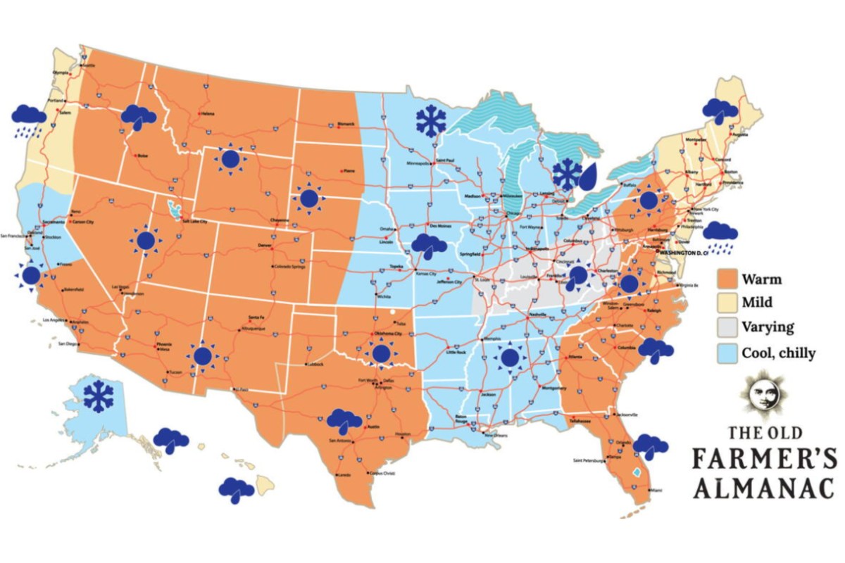 Old Farmer’s Almanac Map Shows Snow Forecast for Thanksgiving
Oct 19, 2026 at 12:29 PM EDT Oct 19, 2026 at 03:24 PM EDT The Old Farmer’s Almanac has issued its forecast for Thanksgiving weather across the country, calling for a patchwork of sunshine, rain and snow. The…
- Wind picks up this weekend with an eye on the tides for Coastal Georgia, Lowcountry
Friday is set to start off cool with lows in the 40s to around 50 degrees. A mild afternoon can be expected with highs in the 70s. Gusty winds arrive to start the weekend with gusts of 20-25+ mph expected, highest at…
-
 High fire danger in Cobb and much of Georgia Thursday
The National Weather Service issued a special weather statement for north and central Georgia for Thursday, Oct. 22. Weather reports can be packed with unfamiliar terms. Our plain-English guide to understanding weather…
-
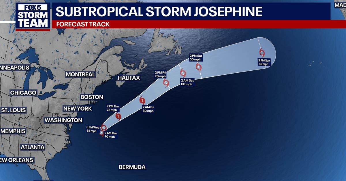 Subtropical storm Josephine forms in Atlantic: What it means for north Georgia
ATLANTA - Subtropical Storm Josephine formed Wednesday afternoon off the East Coast, becoming the latest named storm of the Atlantic hurricane season. As of 5 p.m. Wednesday, Josephine was located about 265 miles south…
-
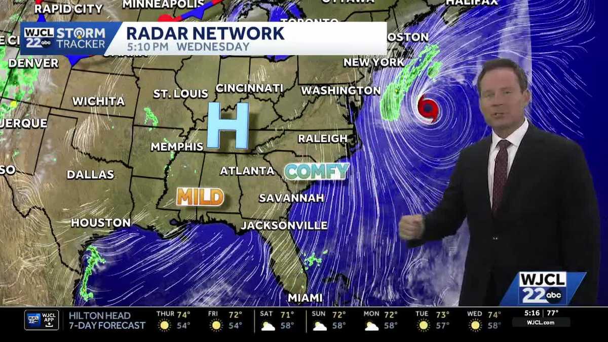 New tropical system forms & the latest on the weekend forecast for Southeast Georgia, Lowcountry
Dry weather with lots of sunshine continues this week. The next change in the weather arrives Friday into Saturday as northeast winds pick up. Wind gusts may top 30 mph at the coast to start the weekend with inland…
-
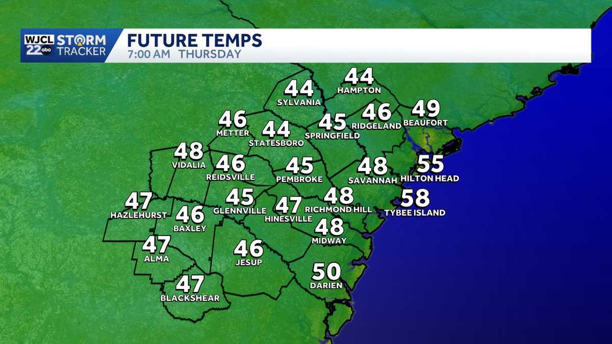 Quick temperature swings give way to a breezy start to the weekend in Southeast Georgia, Lowcountry
Cool mornings and mild afternoons remain in the forecast through the end of this week. Temperatures will once again start off chilly inland on Thursday with lows in the 40s! Grab an extra layer before leaving home…
- High fire danger expected across much of Georgia Wednesday
Cobb County and most of north and central Georgia face high fire danger Wednesday afternoon into the evening, Oct. 21, according to a special weather statement issued by the National Weather Service. Relative humidity…
-
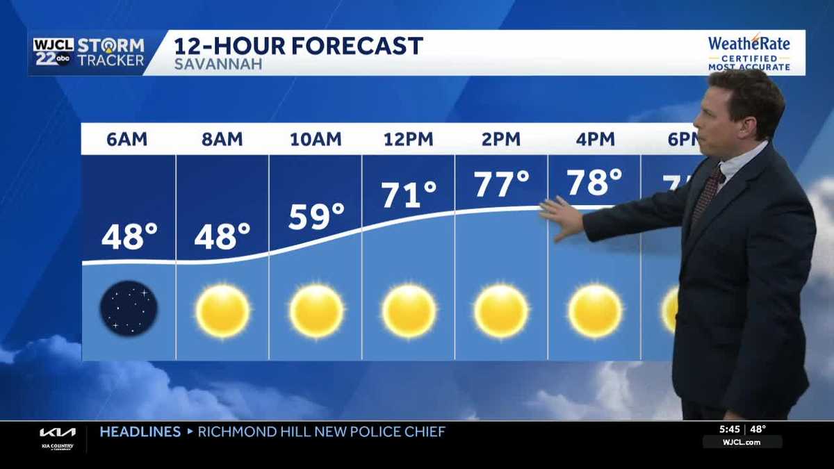 Sunny skies and pleasant fall weather continue across Southeast Georgia and the Lowcountry
Sunshine and pleasantly mild temperatures through the end of the workweek Savannah, Ga. (WJCL)- There will be sunny skies throughout the day with temperatures a few degrees milder this afternoon. Highs will be in the…
-
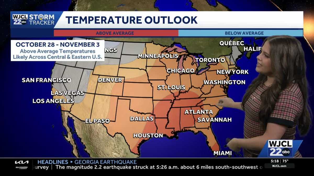 Comfortable conditions continue across Southeast Georgia and the Lowcountry
WJCL A look at the chilly mornings ahead and nice afternoon highs Temperatures drop overnight Tuesday into Wednesday with lows Wednesday morning in the 40s and 50s across Southeast Georgia and the Lowcountry. Have a…
- High fire danger across north and central Georgia
Cobb County and most of north and central Georgia face high fire danger Tuesday afternoon into the evening, Oct. 20, according to a special weather statement issued by the National Weather Service. Relative humidity…
Air quality
Air quality is satisfactory, and air pollution poses little or no risk.
Albany, GA reporting area · 1 hr ago. Data from AirNow (EPA and its state, local and tribal partners); preliminary and subject to change.
Sun & moon
Almanac
MonthlyAlbany Area, records since 1892. Normals 1991–2020. Data from NOAA's Regional Climate Centers (ACIS).
Nearby
Forecasters' discussion
From the National Weather Service office in TAE, issued 6 hrs ago
Key Messages
Updated at 220 AM EDT Fri Oct 23 2026
- Elevated fire danger across southeast Alabama and southwest Georgia due to low relative humidity and increasing winds this afternoon.
- Windy conditions are expected this weekend, following passage of a dry back door front late Friday. Northeast wind gusts will peak in the 25-35 mph range, possibly higher, during the day on Sunday.
- Hazardous marine conditions are expected from Friday evening through Monday due to strong and near-gale northeast winds. The windiest conditions will be on Saturday night and Sunday morning, when frequent gusts around gale-force are expected. Small Craft Advisories are in effect beginning tonight for all the open Gulf waters.
Aviation
(06Z TAFS) Issued at 220 AM EDT Fri Oct 23 2026
VFR conditions are expected to prevail through the period with clear skies. Northeast winds will increase to around 10 knots during the day on Friday with occasional 15 knot gusts.
Marine
Issued at 220 AM EDT Fri Oct 23 2026
Hazardous marine conditions begin tonight as a backdoor cold front clears the marine area. Moderate northeasterly breezes today will freshen tonight then become strong Saturday as the pressure gradient tightens between a high over the mid-Atlantic and a low over the Bahamas. These strong northeasterly breezes will persist through Sunday with some gusts near gale-force possible, especially far offshore, before relaxing to fresh breezes Monday into Tuesday. A Small Craft Advisory goes into effect for all open Gulf waters beginning this evening and continues through at least Monday evening. Seas will become rough, building to 5 to 8 feet over the weekend into early next week.
Fire Weather
Issued at 220 AM EDT Fri Oct 23 2026
Critical to near-critical RH is expected this afternoon across the AL and GA zones as well as the Apalachicola NF as RH bottoms out in the low to mid 20s. This could result in elevated fire concerns this afternoon, especially in the Alabama and Georgia zones where the combination of critically low RH and elevated winds exists. Elsewhere, RH will be mostly in the low to mid 30s. Transport winds will increase out of the NE this afternoon to 10-15 mph. This will yield good dispersions are-wide. Over the weekend, transport winds increase a bit more out of the northeast to 15-20 mph. However, mixing heights will be a bit lower. Thus, high dispersions are mainly confined to the Apalachicola NF and southeast Big Bend with good dispersions elsewhere. Min RH values will mainly be in the 30s both afternoons.
Forecasts, observations and alerts in the United States come from the National Weather Service (NOAA); radar from NOAA's Multi-Radar Multi-Sensor system; satellite imagery from NASA's Global Imagery Browse Services (GIBS) and NOAA's GOES satellites; the map from the U.S. Geological Survey's National Map; air quality from AirNow (EPA and its partners); hurricane information from the National Hurricane Center; climate normals and records from NOAA's Regional Climate Centers (ACIS). Forecasts outside the United States and the UV index: MET Norway (CC BY 4.0); observations outside the U.S.: airport reports via NOAA's Aviation Weather Center. Place names: GeoNames (CC BY 4.0). Data are copied on a schedule and may lag the sources; for warnings that affect your safety, follow your local National Weather Service office and emergency officials. Weather news is drawn from the 4Search index and reflects what the press published. Terms of use.