Install
Dawson, GA Weather
Current conditions
Forecast for this hour (no station report in the last two hours)
Forecast
10-day-
Friday
Sunny, with a high near 76. Northeast wind 5 to 10 mph, with gusts as high as 20 mph.
-
Friday Night
Clear, with a low around 46. Northeast wind 5 to 10 mph.
-
Saturday
Sunny, with a high near 75. Northeast wind 10 to 15 mph, with gusts as high as 25 mph.
National Weather Service forecast updated 1 day ago.
Hourly
Hourly forecast- Now59°
- 11 AM65°
- 12 PM68°
- 1 PM70°
- 2 PM73°
- 3 PM74°
- 4 PM75°
- 5 PM76°
- 6 PM71°
- 7 PM65°
- 8 PM60°
- 9 PM59°
- 10 PM57°
- 11 PM56°
- Sat12 AM54°
- 1 AM52°
- 2 AM51°
- 3 AM49°
- 4 AM48°
- 5 AM47°
- 6 AM47°
- 7 AM47°
- 8 AM47°
- 9 AM52°
10-day forecast
Details- ThuOct 22Sunny48°80°
- TodayOct 23Sunny46°76°
- SatOct 24Sunny49°75°
- SunOct 25Sunny49°74°
- MonOct 26Sunny46°75°
- TueOct 27Sunny48°76°
- WedOct 28Mostly Sunny49°77°
- ThuOct 29Partly cloudy62°79°
- FriOct 30Partly cloudy57°80°
- SatOct 31Mostly sunny57°79°
Days after the National Weather Service's seven are MET Norway's outlook, a computer model with no forecaster's review.
Radar
Full mapWeather news near Dawson
More weather news-
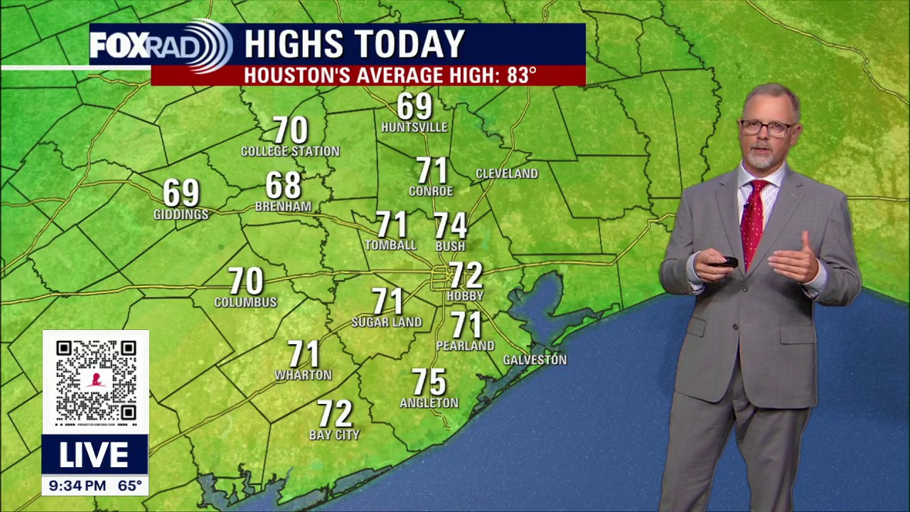 Houston weather: October 17 overnight forecast
FOX 26 Houston Fox 26 Meteorologist John Dawson shares the overnight forecast for October 17.
-
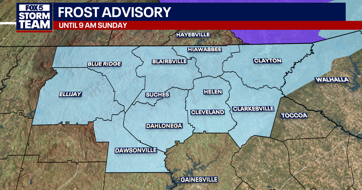 First frost advisory issued as fall chill sweeps North Georgia
A dry front has passed lending itself to increasing winds and lows falling from the upper 60s into the lower 50s by early morning. The day should be sunny and much cooler, with highs in the mid 60s and a brisk north…
-
 Record-breaking October temperatures hits Northeast B.C.
FORT ST. JOHN, B.C. - Record-breaking warmth swept across parts of Northeast B.C. Friday, with temperatures climbing into the low 20s in several communities. Fort St. John climbed to 20 C, topping its previous record of…
-
 Cooler and Drier Air Settles in Friday, Near Freezing Early Saturday
LUBBOCK, TX (KAMC) – KAMC Forecaster Larry Rodriguez has your Tuesday morning weather update for September 29, 2026. Today’s High – 59° Tonight’s Low – 34° The coolest day, so far this season, is expected Friday…
-
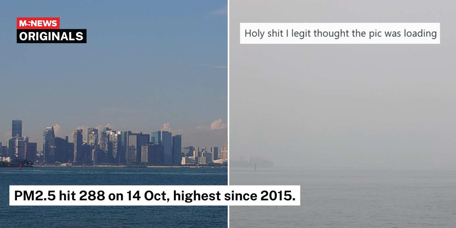 S’pore Redditors share before-and-after photos of skyline with haze on 14 Oct, intensity shocks netizens
Environment Featured Health Latest News MS Originals Social Issues By Ethan Oh - 16 Oct 2026, 10:20 am The visibility was so low in the shots that some thought the pictures had not loaded. “Singapore’s skyline totally…
-
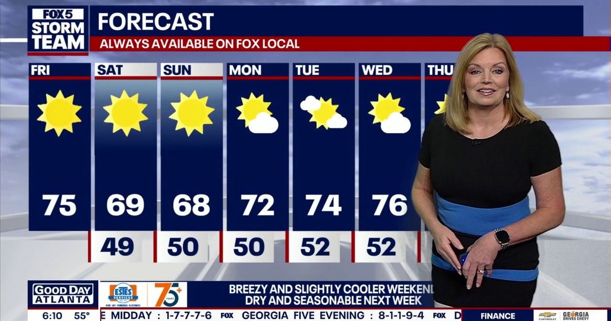 North Georgia forecast: Sunny weekend, fall colors nearing peak
Atlanta starts Friday at 55 degrees, with temperatures expected to reach 72 by 4 p.m. Clear, dry weather will continue through the weekend, though breezy conditions should keep highs below 70 on Saturday and Sunday…
- Wind picks up this weekend with an eye on the tides for Coastal Georgia, Lowcountry
Friday is set to start off cool with lows in the 40s to around 50 degrees. A mild afternoon can be expected with highs in the 70s. Gusty winds arrive to start the weekend with gusts of 20-25+ mph expected, highest at…
-
 High fire danger in Cobb and much of Georgia Thursday
The National Weather Service issued a special weather statement for north and central Georgia for Thursday, Oct. 22. Weather reports can be packed with unfamiliar terms. Our plain-English guide to understanding weather…
-
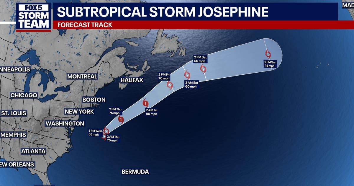 Subtropical storm Josephine forms in Atlantic: What it means for north Georgia
ATLANTA - Subtropical Storm Josephine formed Wednesday afternoon off the East Coast, becoming the latest named storm of the Atlantic hurricane season. As of 5 p.m. Wednesday, Josephine was located about 265 miles south…
-
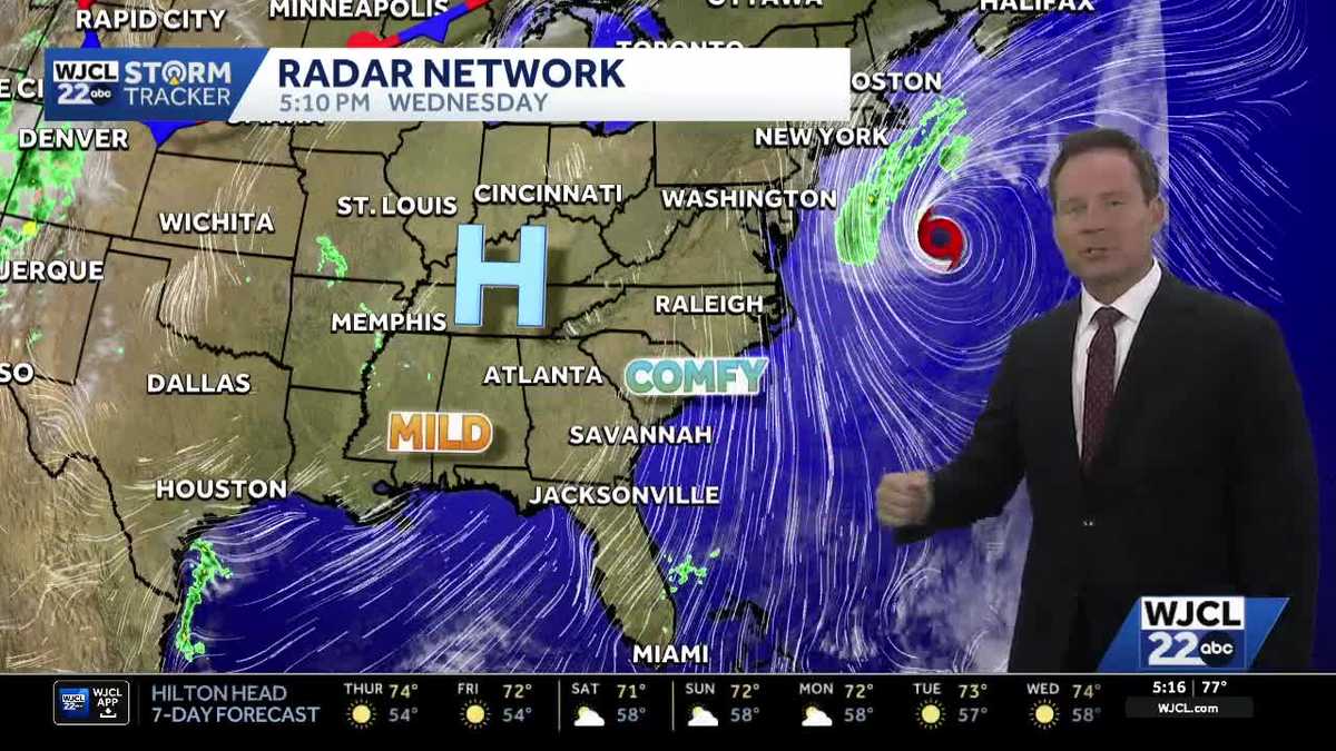 New tropical system forms & the latest on the weekend forecast for Southeast Georgia, Lowcountry
Dry weather with lots of sunshine continues this week. The next change in the weather arrives Friday into Saturday as northeast winds pick up. Wind gusts may top 30 mph at the coast to start the weekend with inland…
Air quality
Air quality is satisfactory, and air pollution poses little or no risk.
Albany, GA reporting area · 2 hrs ago. Data from AirNow (EPA and its state, local and tribal partners); preliminary and subject to change.
Sun & moon
Almanac
MonthlyPlains/sumter Georgia, records since 2003. Normals 1991–2020. Data from NOAA's Regional Climate Centers (ACIS).
Nearby
Forecasters' discussion
From the National Weather Service office in TAE, issued 1 hr ago
Key Messages
Updated at 839 AM EDT Fri Oct 23 2026
- Elevated fire danger across southeast Alabama and southwest Georgia due to low relative humidity and increasing winds this afternoon.
- Windy conditions are expected this weekend, following passage of a dry back door front late Friday. Northeast wind gusts will peak in the 25-35 mph range, possibly higher, during the day on Sunday.
- Hazardous marine conditions are expected from Friday evening through Monday due to strong and near-gale northeast winds. The windiest conditions will be on Saturday night and Sunday morning, when frequent gusts around gale-force are expected. Small Craft Advisories are in effect beginning tonight for all the open Gulf waters.
Update
Issued at 839 AM EDT Fri Oct 23 2026
No changes are planned at this time from the discussion below.
Aviation
(12Z TAFS) Issued at 634 AM EDT Fri Oct 23 2026
VFR conditions are expected to prevail through the period with clear skies. Northeast winds will increase to around 10 knots during the day on Friday with occasional 15 knot gusts.
Marine
Issued at 220 AM EDT Fri Oct 23 2026
Hazardous marine conditions begin tonight as a backdoor cold front clears the marine area. Moderate northeasterly breezes today will freshen tonight then become strong Saturday as the pressure gradient tightens between a high over the mid-Atlantic and a low over the Bahamas. These strong northeasterly breezes will persist through Sunday with some gusts near gale-force possible, especially far offshore, before relaxing to fresh breezes Monday into Tuesday. A Small Craft Advisory goes into effect for all open Gulf waters beginning this evening and continues through at least Monday evening. Seas will become rough, building to 5 to 8 feet over the weekend into early next week.
Forecasts, observations and alerts in the United States come from the National Weather Service (NOAA); radar from NOAA's Multi-Radar Multi-Sensor system; satellite imagery from NASA's Global Imagery Browse Services (GIBS) and NOAA's GOES satellites; the map from the U.S. Geological Survey's National Map; air quality from AirNow (EPA and its partners); hurricane information from the National Hurricane Center; climate normals and records from NOAA's Regional Climate Centers (ACIS). Forecasts outside the United States and the UV index: MET Norway (CC BY 4.0); observations outside the U.S.: airport reports via NOAA's Aviation Weather Center. Place names: GeoNames (CC BY 4.0). Data are copied on a schedule and may lag the sources; for warnings that affect your safety, follow your local National Weather Service office and emergency officials. Weather news is drawn from the 4Search index and reflects what the press published. Terms of use.