Install
Monticello, GA 31064 Weather
Current conditions
Forecast for this hour (no station report in the last two hours)
Forecast
10-day-
Tonight
Clear, with a low around 46. Northwest wind around 0 mph.
-
Thursday
Sunny, with a high near 78. North wind around 0 mph.
-
Thursday Night
Clear, with a low around 46. Northeast wind 0 to 5 mph.
National Weather Service forecast updated 8 hrs ago.
Hourly
Hourly forecast- Now54°
- 11 PM52°
- Thu12 AM51°
- 1 AM50°
- 2 AM50°
- 3 AM48°
- 4 AM48°
- 5 AM47°
- 6 AM47°
- 7 AM46°
- 8 AM46°
- 9 AM49°
- 10 AM57°
- 11 AM64°
- 12 PM69°
- 1 PM73°
- 2 PM75°
- 3 PM76°
- 4 PM77°
- 5 PM76°
- 6 PM74°
- 7 PM68°
- 8 PM61°
- 9 PM57°
10-day forecast
Details- TonightOct 21Clear46°
- ThuOct 22Sunny46°78°
- FriOct 23Sunny47°73°
- SatOct 24Sunny45°70°
- SunOct 25Sunny45°71°
- MonOct 26Sunny43°74°
- TueOct 27Sunny46°77°
- WedOct 28Mostly Sunny76°
- ThuOct 29Sunny48°76°
- FriOct 30Cloudy50°77°
Days after the National Weather Service's seven are MET Norway's outlook, a computer model with no forecaster's review.
Radar
Full mapWeather news near Monticello
More weather news-
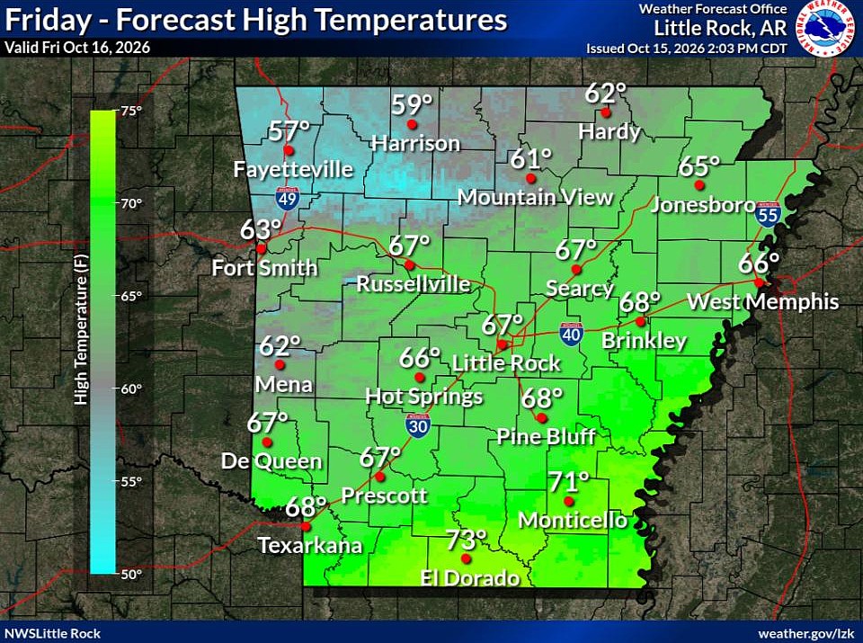 Cold front brings fall temperatures to Arkansas; forecasters warn of continued wildfire risk
The forecast holds good news for those ready for fall in Arkansas. Arkansans should feel some relief from warm temperatures Friday through next week as a cold front has brought cooler temperatures to the state. This…
-
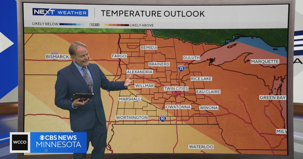 NEXT Weather | 6 p.m. weather report for Oct. 15, 2026
CBS News NEXT Weather | 6 p.m. weather report for Oct. 15, 2026 NEXT Weather: 5 p.m. report on Oct. 15, 2026 Minnesota bishop keeps faith through lung cancer diagnosis Small Minnesota school mourns deaths of 3 current…
-
 Hurricane Rachel’s Remnants Bring Record Precipitation to Drought-Stricken Utah
At SSBCrack News, our dedicated editorial team brings you the latest and most reliable updates on Defence, Geopolitics, Military Affairs, Science, and Technology. Driven by a passion for national security and strategic…
-
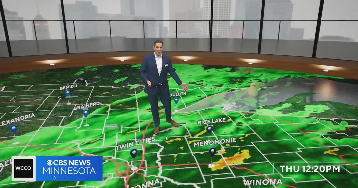 Freeze watch covers much of Minnesota for Friday night into Saturday morning | Oct. 15, 2026
The watch covers counties shaded in blue on the forecast map and could be upgraded to a frost advisory or freeze warning. The Twin Cities core is likely to see lows of 32 to 35 degrees, and outlying areas, including…
-
 NEXT Weather: Noon report for Minnesota on Oct. 15, 2026
CBS News NEXT Weather: Noon report for Minnesota on Oct. 15, 2026 Minnesota company focuses on creating opportunity for farmers in Philippines WCCO’s Shayla Reaves, husband Leonard Searcy compete as American Heart…
-
 Tropical Storm Rachel’s remnants are gone, but they left a record-high benefit
The remnants of what was once Hurricane Rachel ultimately delivered big totals across drought-stricken Utah. Gauges on Big Mountain and the Mount Timpanogos Divide in the Wasatch Mountains collected at least 7.5 inches…
-
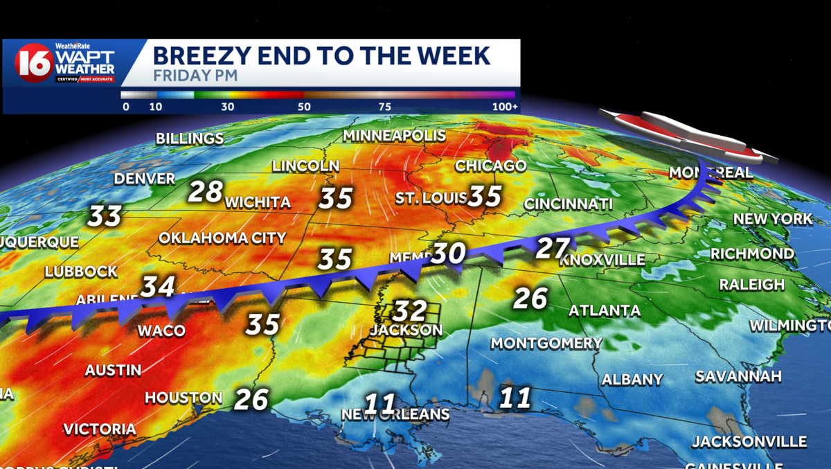 Cold front brings nice cooldown and increased fire danger
WAPT Weâll start the day a bit warmer than yesterday Morning temperatures range from the low 60s in eastern Mississippi to around 70 degrees toward the Delta counties Patchy, dense fog will be possible this morning in…
- From Sizzle to Shiver: Minneapolis Plunges into Cloudy Fall Chill
Minneapolis woke Tuesday to cloudy skies and temperatures in the mid-50s, a sharp comedown from the city’s recent summerlike stretch. The cooler pattern sticks around through the week, with a chance of showers Thursday…
-
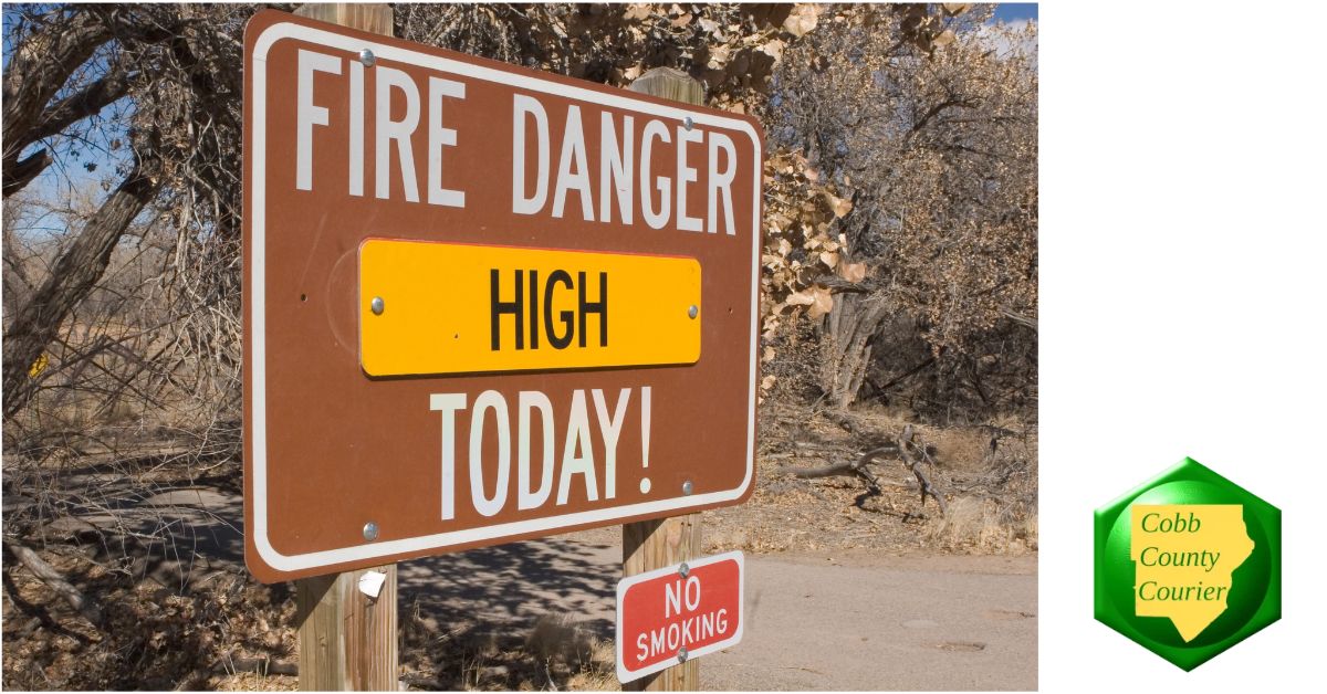 High fire danger expected across much of Georgia Wednesday
Cobb County and most of north and central Georgia face high fire danger Wednesday afternoon into the evening, Oct. 21, according to a special weather statement issued by the National Weather Service. Relative humidity…
-
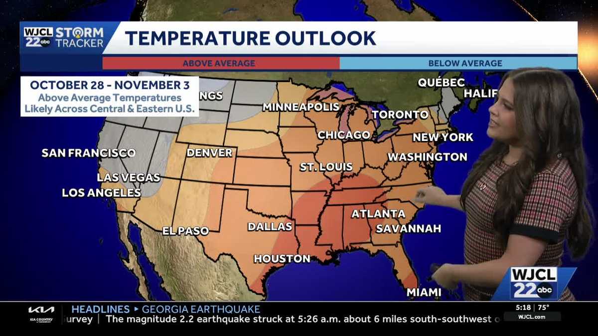 Comfortable conditions continue across Southeast Georgia and the Lowcountry
WJCL A look at the chilly mornings ahead and nice afternoon highs Temperatures drop overnight Tuesday into Wednesday with lows Wednesday morning in the 40s and 50s across Southeast Georgia and the Lowcountry. Have a…
Air quality
Acceptable. Unusually sensitive people should consider limiting prolonged outdoor exertion.
Forecast
- WedGood (41)
- ThuGood (44)
Macon, GA reporting area · 1 hr ago. Data from AirNow (EPA and its state, local and tribal partners); preliminary and subject to change.
Sun & moon
Almanac
MonthlyOconee #1 Georgia, records since 2001. Normals 1991–2020. Data from NOAA's Regional Climate Centers (ACIS).
Nearby
- Macon 53 km
- Stonecrest 59 km
- Stockbridge 55 km
- McDonough 43 km
- Griffin 52 km
- Milledgeville 52 km
- Conyers 49 km
- Covington 34 km
- Monroe 54 km
- Hampton 54 km
- Barnesville 50 km
- Eatonton 30 km
Forecasters' discussion
From the National Weather Service office in FFC, issued 8 hrs ago
Key Messages
- Elevated fire danger will likely persist for at least parts of the area through Friday afternoon due to low relative humidity.
- Rain-free conditions and near-seasonal temperatures will remain for the next 7 days, with a slight cool-down Friday through the weekend.
Short Term
(This afternoon through Thursday) Issued at 200 PM EDT Wed Oct 21 2026
Dry conditions and pleasant, near-seasonal temperatures are expected through Thursday night. Northerly flow aloft and high pressure across the Southeast will maintain zero chance for rain and very little in the way of clouds. The dry air in place will make for elevated fire danger this afternoon and tomorrow (Thursday) afternoon. While winds will be light overall, low relative humidity could support rapid fire development. A Fire Danger Statement is in effect across much of north and central Georgia until 7 PM this evening, and another Fire Danger Statement will likely be needed for at least part (if not all) of the area again tomorrow.
Long Term
(Friday morning through next Tuesday) Issued at 200 PM EDT Wed Oct 21 2026
Expect little change in the long-term forecast with a building mid-level ridge centered over Texas and associated troughing oriented along the eastern seaboard, which will continue to amplify through Friday and shift off the coast by the weekend. Dry conditions will continue to be the theme with no chance of rain through at least the end of next week.
Otherwise, this pattern will reinforce the seasonably cooler conditions over our area through the first of next week. A resulting backdoor cold front will move through by Friday, increasing surface winds out of the northeast to around 5-10mph, with afternoon gusts up to 20mph through the weekend. Expect overnight lows to drop into the low to upper 40s and daytime highs ranging from the low 60s to upper 70s area wide this weekend. Expect a gradual warming trend as we move into the second half of next week.
Aviation
(18Z TAFS) Issued at 115 PM EDT Wed Oct 21 2026
VFR conditions will prevail through the TAF period. Winds will be light (generally less than 7 kts except for at ATL) and variable in direction. Winds may waffle on either side of due north tomorrow (Thursday) from late morning into the afternoon.
//ATL Confidence...18Z Update... High confidence on all elements.
Martin
Forecasts, observations and alerts in the United States come from the National Weather Service (NOAA); radar from NOAA's Multi-Radar Multi-Sensor system; satellite imagery from NASA's Global Imagery Browse Services (GIBS) and NOAA's GOES satellites; the map from the U.S. Geological Survey's National Map; air quality from AirNow (EPA and its partners); hurricane information from the National Hurricane Center; climate normals and records from NOAA's Regional Climate Centers (ACIS). Forecasts outside the United States and the UV index: MET Norway (CC BY 4.0); observations outside the U.S.: airport reports via NOAA's Aviation Weather Center. Place names: GeoNames (CC BY 4.0). Data are copied on a schedule and may lag the sources; for warnings that affect your safety, follow your local National Weather Service office and emergency officials. Weather news is drawn from the 4Search index and reflects what the press published. Terms of use.