Install
Spartanburg, SC 29304 Weather
Current conditions
Observed at Spartanburg Memorial · 1 hr ago
Forecast
10-day-
Tonight
Clear, with a low around 44. North northeast wind 0 to 5 mph.
-
Friday
Sunny, with a high near 69. Northeast wind around 7 mph.
-
Friday Night
Clear, with a low around 44. Northeast wind 3 to 7 mph.
National Weather Service forecast updated 14 hrs ago.
Hourly
Hourly forecast- Now56°
- 10 PM54°
- 11 PM52°
- Fri12 AM51°
- 1 AM50°
- 2 AM48°
- 3 AM48°
- 4 AM47°
- 5 AM46°
- 6 AM45°
- 7 AM44°
- 8 AM44°
- 9 AM48°
- 10 AM56°
- 11 AM60°
- 12 PM63°
- 1 PM66°
- 2 PM67°
- 3 PM68°
- 4 PM68°
- 5 PM68°
- 6 PM66°
- 7 PM61°
- 8 PM56°
10-day forecast
Details- TodayOct 22Sunny44°73°
- FriOct 23Sunny44°69°
- SatOct 24Sunny42°65°
- SunOct 25Sunny42°68°
- MonOct 26Sunny42°70°
- TueOct 27Sunny46°72°
- WedOct 28Mostly Sunny47°72°
- ThuOct 29Cloudy55°69°
- FriOct 30Sunny51°71°
- SatOct 31Cloudy47°65°
Days after the National Weather Service's seven are MET Norway's outlook, a computer model with no forecaster's review.
Radar
Full mapWeather news near Spartanburg
More weather news-
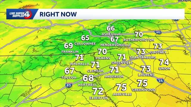 Quiet weather ahead this week in South Carolina: October 19 forecast
Sunshine and comfortable temperatures expected this week in the Upstate. The forecast remains quiet this week as a high pressure keeps the area dry. Highs sit in the 70s with lows in the 40s. The temperatures will be…
-
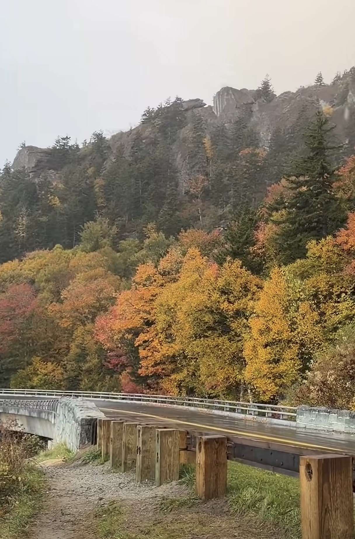 First Snow of the Season Falls on Blue Ridge Parkway, Mt. Mitchell
Snow returned to the High Country’s highest elevations Saturday, Oct. 17, with the first flakes of the season falling along the Blue Ridge Parkway and on Mt. Mitchell. Andrea Crouch shot video Saturday morning, Oct. 17…
- UPDATE: Frost advisory for Western North Carolina for Sunday, says the NWS
On Saturday at 9 p.m. the NWS Greenville-Spartanburg SC released an updated frost advisory valid for Sunday between 1 a.m. and 9 a.m. The advisory is for Caldwell Mountains, Greater Caldwell, Burke Mountains, Greater…
-
 Freeze Warning Issued for Watauga, Ashe and Avery Counties Late Saturday Night Into Sunday Morning
A Freeze Warning is in effect from 1 AM to 9 AM Sunday, Oct. 18, for Watauga, Ashe and Avery counties, with lows as low as the upper 20s to lower 30s expected. The National Weather Service says frost and freeze…
- Frost advisory in place for Upstate SC for Sunday - temperatures at a low of 36
On Saturday at 1:21 a.m. a frost advisory was released by the NWS Greenville-Spartanburg SC valid for Sunday between 1 a.m. and 9 a.m. The advisory is for Oconee Mountains and Pickens Mountains as well as Greenville…
- Freeze warning in place for Western North Carolina for Sunday
At 1:21 a.m. on Saturday, the NWS Greenville-Spartanburg SC released a freeze warning valid for Sunday between 1 a.m. and 9 a.m. The warning is for Northern Jackson and Southern Jackson as well as Avery, Madison…
-
 Cold temperatures expected this weekend
WSPA 7News (WSPA) - A cold front passes through Friday night, dropping temperatures after a record-breaking high in the Greenville-Spartanburg area There are low chances for isolated light rain overnight into early…
- Freeze watch active for Western North Carolina Sunday - temperatures to drop to 30
A freeze watch was released by the NWS Greenville-Spartanburg SC on Friday at 1:56 p.m. valid for Sunday between 1 a.m. and 9 a.m. The watch is for Northern Jackson and Southern Jackson as well as Avery, Madison…
- Staying sunny, seasonable in South Carolina: October 22 forecast
Sunshine lingers with highs in the 60s and 70s Thursday will feature sunny and seasonable weather in the Upstate of South Carolina, Western North Carolina and Northeast Georgia. After a cool to chilly start, highs will…
- Cold Mornings with Warmer Afternoons in South Carolina: October 20 forecast
Cooler mornings with warm afternoons ahead. Sunshine and comfortable temperatures expected this week in the Upstate. The forecast remains quiet this week as a high pressure keeps the area dry. Highs sit in the 70s with…
Air quality
Air quality is satisfactory, and air pollution poses little or no risk.
Greenville-Spartanburg, SC reporting area · 2 hrs ago. Data from AirNow (EPA and its state, local and tribal partners); preliminary and subject to change.
Sun & moon
Almanac
MonthlyChesnee 7 Wsw, records since 1928. Normals 1991–2020. Data from NOAA's Regional Climate Centers (ACIS).
Nearby
- Greenville 49 km
- Greer 33 km
- Mauldin 44 km
- Taylors 39 km
- Simpsonville 41 km
- Wade Hampton 43 km
- Shelby 51 km
- Berea 54 km
- Gantt 53 km
- Five Forks 36 km
- Gaffney 26 km
- Parker 54 km
Forecasters' discussion
From the National Weather Service office in GSP, issued 7 hrs ago
What Has Changed
No major changes.
Key Messages
1. A Special Weather Statement for Increased Fire Danger remains in effect for Northeast Georgia until 7 PM this evening. 2. Dry through the middle of next week. Near to below normal highs develop Friday into the weekend before above normal highs return next week.
Discussion
Key message 1: A Special Weather Statement for Increased Fire Danger remains in effect for Northeast Georgia until 7 PM this evening.
A Special Weather Statement for Increased Fire Danger remains in effect through 7 PM this evening across northeast Georgia as critical RH (dropping to 25% or less) will combine with dry vegetation and low fine fuel moisture to increase the danger of wildfires. Elsewhere, minimum RH should drop to 25-30% thanks to the return of above normal high temperatures and dry air aloft mixing down to the surface.
Please refer to your local burn permitting authority on whether you can burn today. If you do burn, use extreme caution since fires can quickly get out of hand under these conditions.
Key message 2: Dry through the middle of next week. Near to below normal highs develop Friday into the weekend before above normal highs return next week.
The beautiful albeit dreadfully quiet weather pattern lingers through at least the middle of next week thanks to surface high pressure remaining the dominate feature over the eastern United States. The most "exciting" part of the forecast will be a dry and clear cold air damming wedge building over the GSP forecast area Friday into the weekend, allowing for the return of near normal to just below normal highs. Patchy frost is possible in the North Carolina mountains on both Saturday night and Sunday night thanks to great radiational cooling conditions and cooler lows. Slightly above normal highs return for next week.
Aviation
At KCLT and elsewhere: Dry and VFR through the 18Z TAF period outside of the potential for patchy mountain valley fog, mainly in the Little TN Valley overnight into early Friday morning. Winds east of the mountains will remain NE through the period. Winds in the mountains will be mainly WNW/NW through tonight before gradually toggling more E/ESE Friday. Wind speeds at KAVL will range from 8-11 kts with low-end gusts up to 20 kts through late this afternoon or early this evening. Wind speeds will range mostly from 5-8 kts east of the mountains today and Friday. Lighter wind speeds should develop briefly this evening into tonight, especially at KAVL.
Outlook: Dry and VFR through the middle of next week outside of the potential for mountain valley fog and low stratus each morning.
Forecasts, observations and alerts in the United States come from the National Weather Service (NOAA); radar from NOAA's Multi-Radar Multi-Sensor system; satellite imagery from NASA's Global Imagery Browse Services (GIBS) and NOAA's GOES satellites; the map from the U.S. Geological Survey's National Map; air quality from AirNow (EPA and its partners); hurricane information from the National Hurricane Center; climate normals and records from NOAA's Regional Climate Centers (ACIS). Forecasts outside the United States and the UV index: MET Norway (CC BY 4.0); observations outside the U.S.: airport reports via NOAA's Aviation Weather Center. Place names: GeoNames (CC BY 4.0). Data are copied on a schedule and may lag the sources; for warnings that affect your safety, follow your local National Weather Service office and emergency officials. Weather news is drawn from the 4Search index and reflects what the press published. Terms of use.