Install
Asheville, NC 28803 Weather
Current conditions
Observed at Asheville, Asheville Regional Airport · 1 hr ago
Forecast
10-day-
Tonight
Mostly clear, with a low around 41. North northeast wind around 2 mph.
-
Wednesday
Sunny, with a high near 72. West northwest wind 0 to 9 mph.
-
Wednesday Night
Clear, with a low around 40. Northwest wind 3 to 8 mph.
National Weather Service forecast updated 45 min ago.
Hourly
Hourly forecast- Now60°
- 9 PM57°
- 10 PM55°
- 11 PM53°
- Wed12 AM51°
- 1 AM49°
- 2 AM48°
- 3 AM46°
- 4 AM45°
- 5 AM44°
- 6 AM43°
- 7 AM41°
- 8 AM41°
- 9 AM44°
- 10 AM50°
- 11 AM58°
- 12 PM65°
- 1 PM68°
- 2 PM70°
- 3 PM71°
- 4 PM71°
- 5 PM69°
- 6 PM67°
- 7 PM61°
10-day forecast
Details- TonightOct 20Mostly Clear41°
- WedOct 21Sunny40°72°
- ThuOct 22Sunny40°70°
- FriOct 23Sunny39°66°
- SatOct 24Sunny36°64°
- SunOct 25Sunny37°67°
- MonOct 26Sunny42°72°
- TueOct 27Mostly Sunny72°
- WedOct 28Partly cloudy46°67°
- ThuOct 29Mostly sunny43°63°
Days after the National Weather Service's seven are MET Norway's outlook, a computer model with no forecaster's review.
Radar
Full mapWeather news near Asheville
More weather news-
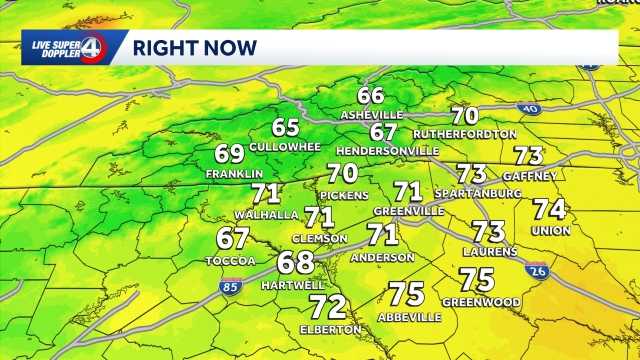 Quiet weather ahead this week in South Carolina: October 19 forecast
Sunshine and comfortable temperatures expected this week in the Upstate. The forecast remains quiet this week as a high pressure keeps the area dry. Highs sit in the 70s with lows in the 40s. The temperatures will be…
-
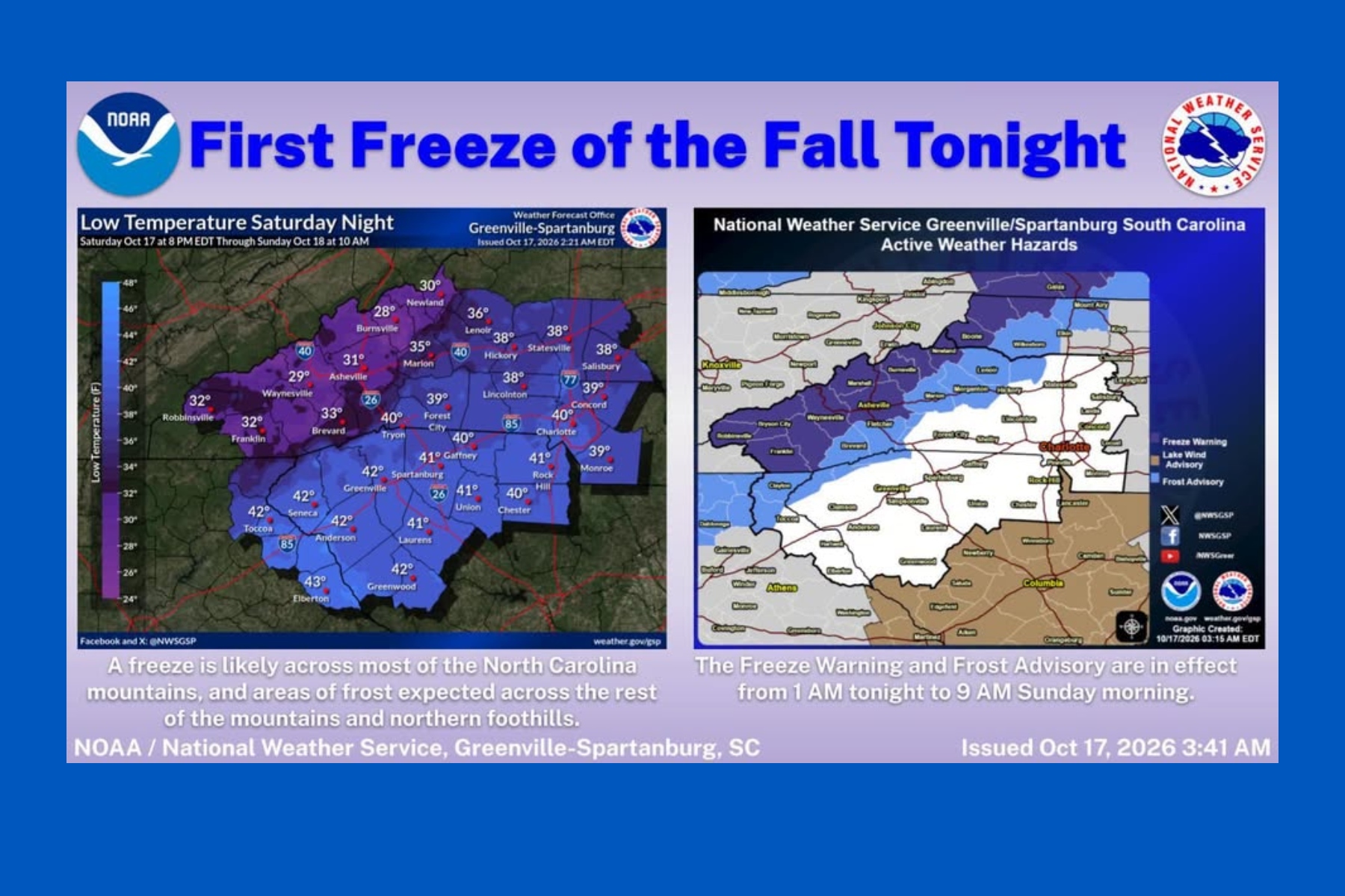
 First freeze of fall expected in western North Carolina mountains Sunday morning
A Frost Advisory is in effect Sunday morning from 1 AM to 9 AM for the southern NC mountains, eastern foothills, Upstate SC, and NE Georgia. A Freeze Warning is in effect Sunday morning from 1 AM to 9 AM for counties…
-
 First snow falls in NC mountains as freeze warning looms
Mount Mitchell sees snow as temperatures plunge across Western North Carolina ASHEVILLE, N.C. (828newsNOW) — Fall colors are still hanging on in the North Carolina mountains, but winter made an early appearance Saturday…
- Fall colors coming soon to Tri-Cities region, ETSU experts say
Johnson City Press Fall colors are reaching their peak in areas across the Southern Appalachians Vibrant oranges and yellows will cascade through lower elevations this weekend and into next week, according to East…
-
 Fall color report: Highest peaks fade as color moves down
Fall color is on the move across the Southern Appalachians. The highest peaks have largely passed peak, but elevations just below them are entering some of their best color of the season, according to East Tennessee…
-
 NOAA's winter outlook released: What it means for western North Carolina
Multiple people were injured, including children, and a shooter is dead after an active shooter situation at an elementary school in Oregon. ASHEVILLE, N.C. (WLOS) — The National Oceanic and Atmospheric Administration…
-
 First freeze: When the Upstate, western NC typically drop to 32
FOX Carolina News GREENVILLE, S.C. (FOX Carolina) - Cooler weather is arriving across the Carolinas, but freezing temperatures are not expected through mid October. However, our typical first freeze does happen pretty…
-
 Strong wind, chilly temperatures headed to western North Carolina this weekend
President Trump delivers remarks at a Midterm Rally at Laughlin/Bullhead International Airport in Bullhead City, Arizona. ASHEVILLE, N.C. (WLOS) — The Western Carolinas are set to experience a weather whiplash this…
- Cold snap forecast for Western North Carolina. Could there be frost?
Fall is underway in Western North Carolina, and temperatures low enough to produce areas of frost are forecast this weekend throughout the region. The National Oceanic and Atmospheric Administration explains that, while…
-
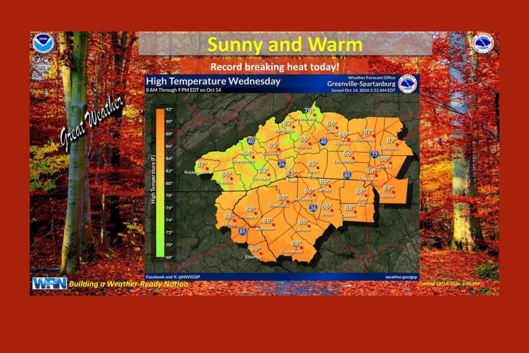 From 86 to 36: Asheville faces big temperature swing
Temperatures could plunge 20 degrees by Saturday, with frost and freezing conditions possible in the mountains Sunday ASHEVILLE, N.C. (828newsNOW) — Asheville could break a nearly century-old temperature record…
Air quality
Air quality is satisfactory, and air pollution poses little or no risk.
Forecast
- TueGood (40)
- WedGood (40)
- ThuGood (40)
Buncombe County, NC reporting area · 1 hr ago. Data from AirNow (EPA and its state, local and tribal partners); preliminary and subject to change.
Sun & moon
Almanac
MonthlyAsheville Area, records since 1876. Normals 1991–2020. Data from NOAA's Regional Climate Centers (ACIS).
Nearby
- Hendersonville 25 km
- Waynesville 43 km
- Black Mountain 20 km
- Marion 49 km
- Brevard 39 km
- Fletcher 12 km
- Mills River 17 km
- Etowah 26 km
- Woodfin 12 km
- East Flat Rock 30 km
- Swannanoa 13 km
- Royal Pines 7 km
Forecasters' discussion
From the National Weather Service office in GSP, issued 1 hr ago
What Has Changed
Updated for 00z aviation discussion and to remove Fire Danger information from this afternoon.
Key Messages
1. Dry through early next week. Above normal high temperatures linger through Thursday before near to below normal highs develop Friday into the weekend. Above normal highs return by early next week.
Discussion
Key message 1: Dry through early next week. Above normal high temperatures linger through Thursday before near to below normal highs develop Friday into the weekend. Above normal highs return by early next week.
Coastal low stalls off the Mid-Atlantic coast through Wednesday night before gradually lifting away from Mid-Atlantic Coast Thursday into Thursday night. Meanwhile, the southern periphery of a surface ridge remains extended over the Southeast keeping dry and above normal highs around through Thursday. The center of the high shifts more south and east over New England Friday into Sunday allowing dry classic cold air damming to develop. Although mostly sunny skies will prevail, cooler highs should develop Friday into the weekend, especially on Saturday when the wedge is at its strongest. Highs on Saturday should end up at least around 5 degrees below normal but could trend cooler in the coming days. Above normal highs may return by early next week as the center of the high sinks southward towards the Carolinas but confidence is low as the wedge could linger with no true erosion mechanism expected to arrive. Dry conditions will linger through early next week.
No major freeze concerns through the period with lows expected to remain above freezing for locations where the growing season is still active. If the pressure gradient is able to relax enough Saturday night, frost may develop across the North Carolina and Georgia mountains thanks to great radiational cooling conditions.
Aviation
At KCLT and elsewhere: VFR through the period at TAF sites. Expect another round of mountain valley fog/low stratus overnight into the predawn hours, but should not impact the terminals. Winds generally out of the N to NNE, hovering around 5kt though possibly going lgt/vrb overnight.
Outlook: Dry and VFR through early next week outside of the potential for patchy fog and low stratus each morning in the mountain valleys and near lakes.
Forecasts, observations and alerts in the United States come from the National Weather Service (NOAA); radar from NOAA's Multi-Radar Multi-Sensor system; satellite imagery from NASA's Global Imagery Browse Services (GIBS) and NOAA's GOES satellites; the map from the U.S. Geological Survey's National Map; air quality from AirNow (EPA and its partners); hurricane information from the National Hurricane Center; climate normals and records from NOAA's Regional Climate Centers (ACIS). Forecasts outside the United States and the UV index: MET Norway (CC BY 4.0); observations outside the U.S.: airport reports via NOAA's Aviation Weather Center. Place names: GeoNames (CC BY 4.0). Data are copied on a schedule and may lag the sources; for warnings that affect your safety, follow your local National Weather Service office and emergency officials. Weather news is drawn from the 4Search index and reflects what the press published. Terms of use.