Install
Black Mountain, NC Weather
Current conditions
Observed at Asheville, Asheville Regional Airport · 1 hr ago
Forecast
10-day-
Friday
Sunny, with a high near 62. East northeast wind 2 to 7 mph.
-
Friday Night
Mostly clear, with a low around 39. East northeast wind around 6 mph.
-
Saturday
Sunny, with a high near 60. East wind around 7 mph.
National Weather Service forecast updated 4 hrs ago.
Hourly
Hourly forecast- Now38°
- 8 AM38°
- 9 AM40°
- 10 AM47°
- 11 AM54°
- 12 PM59°
- 1 PM61°
- 2 PM62°
- 3 PM62°
- 4 PM62°
- 5 PM61°
- 6 PM59°
- 7 PM55°
- 8 PM51°
- 9 PM49°
- 10 PM48°
- 11 PM46°
- Sat12 AM45°
- 1 AM44°
- 2 AM43°
- 3 AM42°
- 4 AM42°
- 5 AM40°
- 6 AM40°
10-day forecast
Details- TonightOct 22Clear38°
- TodayOct 23Sunny39°62°
- SatOct 24Sunny35°60°
- SunOct 25Sunny34°60°
- MonOct 26Sunny39°67°
- TueOct 27Sunny40°68°
- WedOct 28Mostly Sunny40°64°
- ThuOct 29Mostly Sunny66°
- FriOct 30Mostly sunny51°70°
- SatOct 31Partly cloudy0.09 in56°67°
Days after the National Weather Service's seven are MET Norway's outlook, a computer model with no forecaster's review.
Radar
Full mapWeather news near Black Mountain
More weather news-
 Hyperlocal elevation snow accumulation forecast Friday night into Saturday
BURLINGTON, Vt. (WCAX) - Today’s strong blustery winds and rainfall have tapered a bit and that is due to the passage of a strong cold front. This will be our first significant autumn cold front that brings more…
-
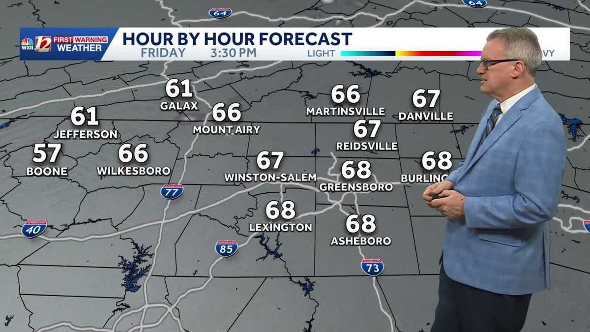 North Carolina temperatures dip a bit this weekend and it's dry, dry, dry...
Chilly North Carolina mornings will be followed by cool afternoon sunshine this weekend It's layering weather! You'll need a jacket early in the morning to combat the chill It will feel more pleasant by late morning…
-
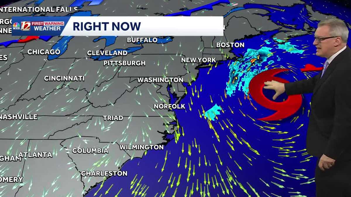 Sunny and dry Piedmont Triad weather Thursday | North Carolina temperatures this weekend
North Carolina will experience pleasant fall weather for most of the week. The beaches will remain windy, with large waves and concerns about coastal flooding. It's layering weather! You'll need a jacket early in the…
-
 Nor'easter destroys sand barrier as it pummels North Carolina
The Weather Network
-
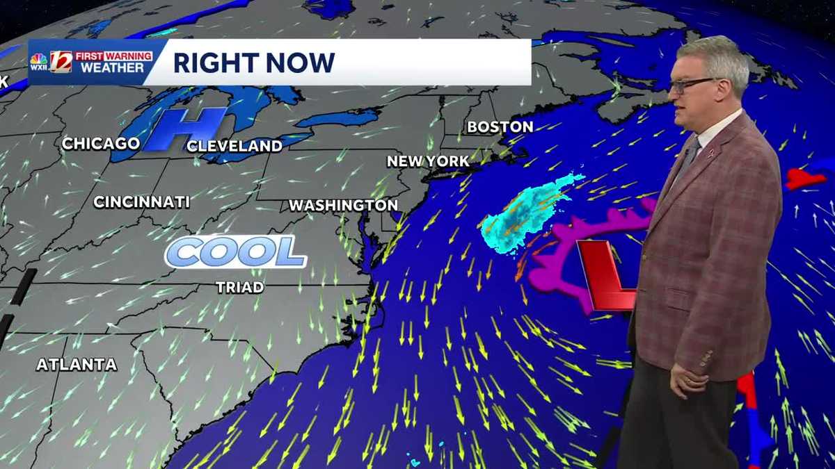 Beautiful North Carolina weather continues this week | Triad temperatures fall again this weekend
Cool Piedmont Triad mornings this week, sunny & pleasant afternoons WXII Despite the chilly start, afternoon temperatures were warmer than average on Tuesday afternoon The high temperature at Piedmont Triad…
-
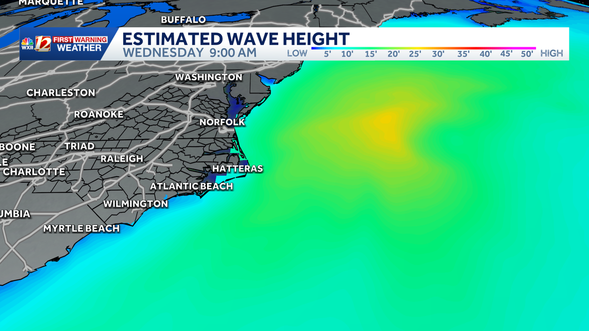 Slow-moving storm near North Carolina coast could gain tropical characteristics this week | Dangerous surf, flood threat for the Outer Banks
Coastal storm may become subtropical this week. Beach erosion, flooding is making travel difficult and the Outer Banks. A nor'easter is taking shape along the same powerful cold front that brought cooler temperatures to…
-
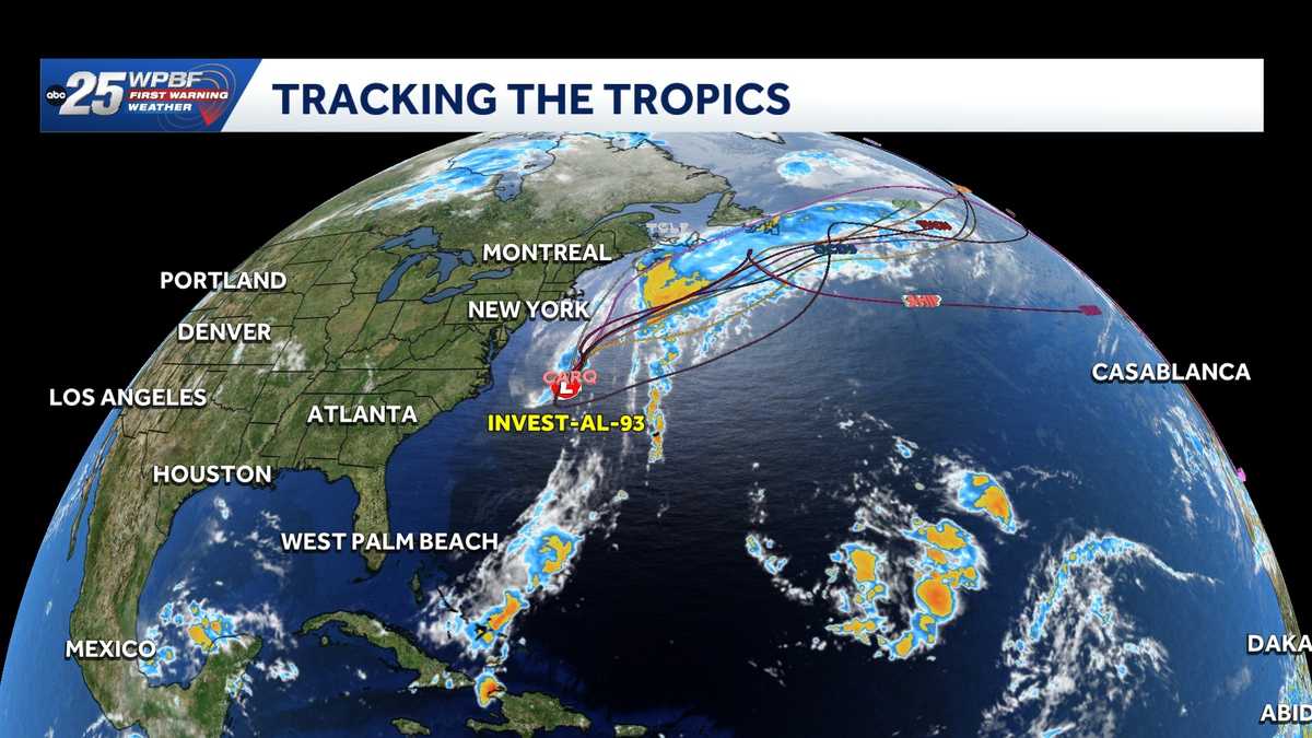 Low pressure off North Carolina could briefly turn subtropical while sending rough surf up the East Coast
A storm-force non-tropical low-pressure system located a few hundred miles off the North Carolina coast is producing shower and thunderstorm activity primarily west of its center. According to the National Hurricane…
-
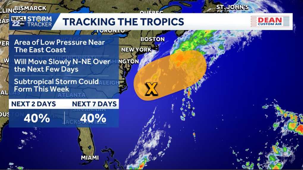 Possible tropical development near North Carolina could bring dangerous surf to the East Coast
Tracking a chance for development in the Atlantic An area of low pressure is a few hundred miles east of North Carolina. It’s along a frontal boundary that’s producing a large area of showers. It will have a chance to…
-
-
 Sunny and seasonably cool weather across North Carolina this week
WXII Cold mornings will lead to seasonable, sunny afternoons in North Carolina this week Dress for 30s and 40s in the mornings Sunny weather will warm temperatures into the 60s and 70s in the afternoons Dry weather will…
Air quality
Air quality is satisfactory, and air pollution poses little or no risk.
Forecast
- FriGood (42)
- SatGood (38)
- SunGood (35)
Buncombe County, NC reporting area · 2 hrs ago. Data from AirNow (EPA and its state, local and tribal partners); preliminary and subject to change.
Sun & moon
Almanac
MonthlyAsheville Area, records since 1876. Normals 1991–2020. Data from NOAA's Regional Climate Centers (ACIS).
Nearby
- Asheville 21 km
- Morganton 59 km
- Hendersonville 36 km
- Marion 29 km
- Brevard 57 km
- Fletcher 26 km
- Forest City 52 km
- Mills River 34 km
- Etowah 42 km
- Woodfin 24 km
- Erwin 59 km
- East Flat Rock 39 km
Forecasters' discussion
From the National Weather Service office in GSP, issued 5 hrs ago
What Has Changed
Temperatures were raised a degree or two for Saturday.
Key Messages
1. Dry weather expected for the next seven days. Temperatures are expected to cool down below normal for the weekend, but should climb back to around normal by the middle of next week.
Discussion
Key message 1: Dry weather expected for the next seven days. Temperatures are expected to cool down below normal for the weekend, but should climb back to around normal by the middle of next week.
A high amplitude blocking pattern will persist through the weekend, with the western Carolinas and northeast Georgia remaining under the northerly flow aloft with the upper ridge axis to our west. The ridge will support a large sfc high over eastern Canada that moves into position over the St. Lawrence Valley tonight, which will support cold air damming east of the mtns developing early Saturday. The guidance continues to indicate an unusually dry cold air damming wedge with plenty of bright sunshine that helps keep temps only 5-10 degrees below normal for Saturday. The only clue that we are in a wedge regime will be the breezy northeast winds outside the mtns. Low temps early Sunday will be similarly cool, but any freeze potential will be limited to ridgetops above 6k feet. Frost will depend on whether or not sfc winds go light/variable. After that, no significant weather threats are apparent. The pattern will become more progressive and should deamplify Sunday night into Monday. Ridging will remain in place through mid-week. Air mass modification should result in temps making it back to normal from Monday into Tuesday. A short wave may cross the region during the middle part of the week, but will be moisture-starved, so no precip will be forecast.
Aviation
At KCLT and elsewhere: VFR prevails for another TAF period. Winds largely light N to NE if not calm this morning. Previous expectation of mountain valley fog appears to be on track, and retained TEMPO for MVFR vsby and very patchy low stratus at KAVL near daybreak. Winds should strengthen from the NE by 13-15z, generally 7 to 9 kt, though gusts do not look frequent enough to mention. KAVL may try to flip to SE at times this aftn, so just went VRB there given light speeds. As high builds south along the Eastern Seaboard tonight, NE flow will be reinforced east of the mountains and light SE should begin to prevail at KAVL. Could see a few clouds below FL030 begin to develop at KHKY prior to 06z, and also at KCLT by around 12z. At KCLT the more likely scenario for low clouds in this regime would as diurnal warming occurs after sunrise. For now omitted any low cloud mention but will consider including it there in the next set, at/after 12z Sat.
Outlook: Dry and VFR through the middle of next week outside of the potential for mountain valley fog and low stratus each morning.
Forecasts, observations and alerts in the United States come from the National Weather Service (NOAA); radar from NOAA's Multi-Radar Multi-Sensor system; satellite imagery from NASA's Global Imagery Browse Services (GIBS) and NOAA's GOES satellites; the map from the U.S. Geological Survey's National Map; air quality from AirNow (EPA and its partners); hurricane information from the National Hurricane Center; climate normals and records from NOAA's Regional Climate Centers (ACIS). Forecasts outside the United States and the UV index: MET Norway (CC BY 4.0); observations outside the U.S.: airport reports via NOAA's Aviation Weather Center. Place names: GeoNames (CC BY 4.0). Data are copied on a schedule and may lag the sources; for warnings that affect your safety, follow your local National Weather Service office and emergency officials. Weather news is drawn from the 4Search index and reflects what the press published. Terms of use.