Install
Virginia Beach, VA 23479 Weather
Current conditions
Observed at Virginia Beach, Oceana, Naval Air Station · 1 hr ago
Forecast
10-day-
Today
Sunny, with a high near 67. North wind 9 to 14 mph, with gusts as high as 22 mph.
-
Tonight
Clear, with a low around 53. North wind 8 to 12 mph.
-
Friday
Mostly sunny, with a high near 64. Northeast wind 10 to 16 mph, with gusts as high as 25 mph.
National Weather Service forecast updated 2 hrs ago.
Hourly
Hourly forecast- Now54°
- 10 AM58°
- 11 AM60°
- 12 PM63°
- 1 PM64°
- 2 PM65°
- 3 PM65°
- 4 PM66°
- 5 PM64°
- 6 PM63°
- 7 PM60°
- 8 PM59°
- 9 PM58°
- 10 PM57°
- 11 PM57°
- Fri12 AM56°
- 1 AM56°
- 2 AM55°
- 3 AM55°
- 4 AM54°
- 5 AM53°
- 6 AM53°
- 7 AM54°
- 8 AM55°
10-day forecast
Details- TodayOct 22Sunny53°67°
- FriOct 23Mostly Sunny48°64°
- SatOct 24Mostly Sunny55°62°
- SunOct 25Sunny54°63°
- MonOct 26Sunny53°64°
- TueOct 27Sunny56°66°
- WedOct 28Partly Sunny57°68°
- ThuOct 29Cloudy61°68°
- FriOct 30Sunny56°64°
- SatOct 31Sunny54°61°
Days after the National Weather Service's seven are MET Norway's outlook, a computer model with no forecaster's review.
Radar
Full mapWeather news near Virginia Beach
More weather news-
 Powerful nor’easter churning up the East Coast
A powerful nor’easter is churning up the East Coast and is on track to bring several days of heavy rain, flooding and strong winds. The storm is expected to stay far enough offshore that the heaviest rain will likely…
- Crisp Start, Toasty Finish: Richmond Set for Weeklong Warmup
Sunday night stays clear as temperatures fall to around 43 degrees in the city. The breeze should keep frost from forming, even as areas west of Interstate 95 turn colder, according to the National Weather Service…
-
 New Nor'easter Forms Off Atlantic Coast: How It Could Impact VA
Another nor'easter is brewing off the East Coast, and while Northern Virginia may escape the worst of the storm, residents could still see gusty winds, occasional rain and unsettled weather next week. Just three weeks…
-
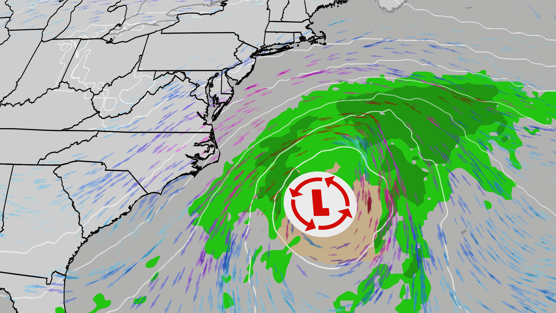 East Coast on alert; High surf, 50 mph gusts possible
The Weather Channel Nor’easter could bring beach erosion, gusty winds to East Coast An area off the East Coast is worth watching this weekend. Increased wave action and beach erosion are possible along areas already hit…
-
 A soggy start to Saturday
RICHMOND, Va. -- There will be periods of steady rain the first half of today. Temperatures will fall into the upper 40s and lower 50s as the morning wears on. Winds will gust over 30 mph in spots. Rain will turn more…
-
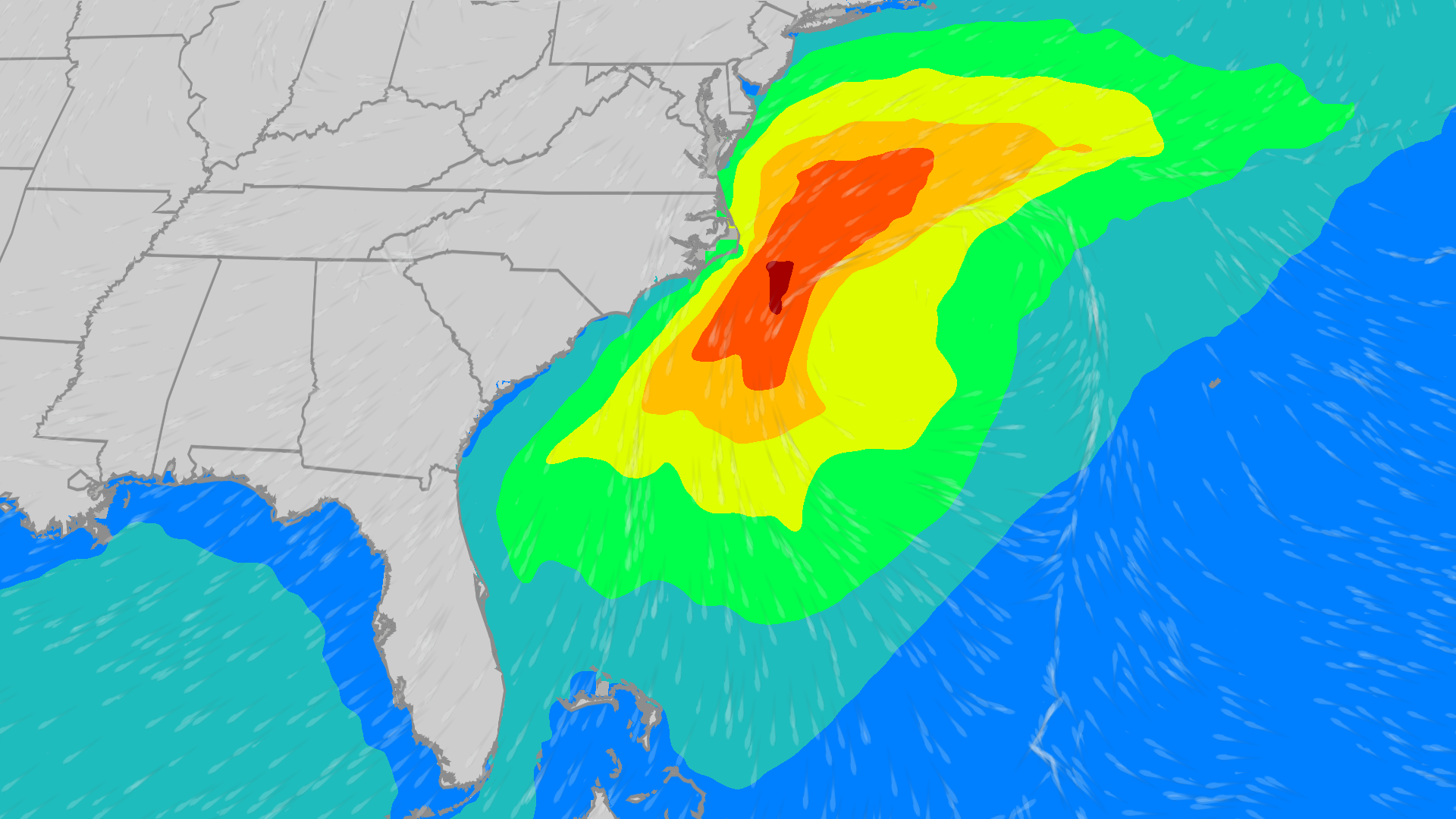 East Coast on alert: Coastal low to bring high wind, waves
The Weather Channel Coastal low could bring high wind, waves to East Coast Though the Atlantic tropics have been quiet since Isaias, there is an area worth watching off the East Coast that could bring wind and waves…
-
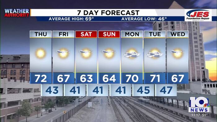 Southwest, Central Virginia Weather | 11 p.m. - Oct. 21, 2026
WSLS Southwest, Central Virginia Weather | 11 p.m. - Oct. 21, 2026 Here's a look at your forecast! Franklin County holds informational panel on data center development Roanoke County Career and Technology Center opens…
-
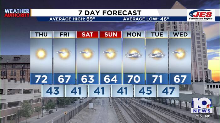 Southwest, Central Virginia Weather | 7 p.m. - Oct. 21, 2026
WSLS Southwest, Central Virginia Weather | 7 p.m. - Oct. 21, 2026 Here's a look at your forecast! Franklin County holds informational panel on data center development Roanoke County Career and Technology Center opens…
-
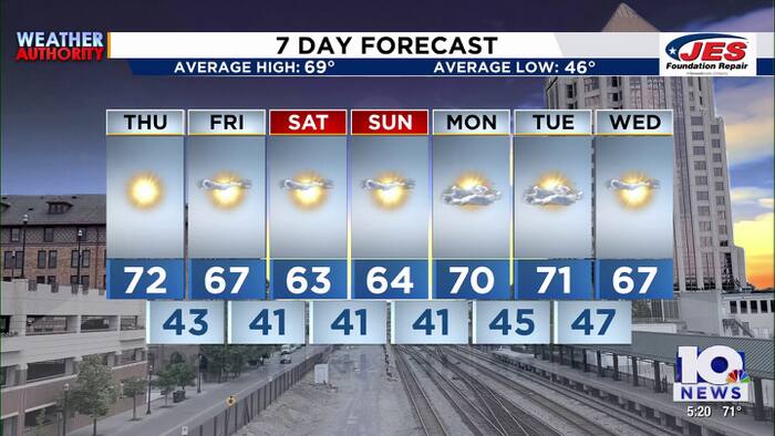 Southwest, Central Virginia Weather | 5 p.m. - Oct. 21, 2026
WSLS Southwest, Central Virginia Weather | 5 p.m. - Oct. 21, 2026 Here's a look at your forecast! Roanoke County Schools opens new career and technology center Southwest Virginia veterans, farmers talk rising costs…
-
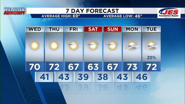 Southwest, Central Virginia Weather | 7 p.m. - Oct. 20, 2026
WSLS Southwest, Central Virginia Weather | 7 p.m. - Oct. 20, 2026 Here's a look at your forecast! Special Olympics Virginia holds 2026 Big Feet Meet 'Build My Future' career event held in Montgomery County for middle…
Air quality
Forecast
- ThuGood (42)
- FriGood (40)
- SatGood (38)
Currituck County, NC reporting area. Data from AirNow (EPA and its state, local and tribal partners); preliminary and subject to change.
Sun & moon
Almanac
MonthlyNorfolk Area, records since 1874. Normals 1991–2020. Data from NOAA's Regional Climate Centers (ACIS).
Nearby
- Norfolk 25 km
- Chesapeake 23 km
- Newport News 42 km
- East Hampton 39 km
- Hampton 39 km
- Portsmouth Heights 32 km
- Portsmouth 26 km
- Suffolk 52 km
- South Suffolk 52 km
- Elizabeth City 60 km
- Poquoson 47 km
- Smithfield 59 km
Forecasters' discussion
From the National Weather Service office in AKQ, issued 13 hrs ago
What Has Changed
Aviation section updated for 00z/22 TAFs
Key Messages
1) Continued dry with mostly sunny conditions expected late week into the weekend.
2) Elevated tidal anomalies through Friday with minor to locally moderate tidal flooding forecast.
Discussion
As of 255 PM EDT Wednesday...
KEY MESSAGE 1...Continued dry with mostly sunny conditions expected late week into the weekend.
Strong low pressure (~990mb) remains well offshore this afternoon with high pressure over the centered over the Ohio Valley. Elevated N and NNW winds continue, especially near the coast this afternoon. Winds will decrease this evening for inland locations but will remain breezy near the coast overnight as low pressure deepens and begins to finally lift away to the north and east. Clear skies and lighter winds will lead to fairly good radiational cooling tonight with lows in the mid and upper 30s near and west of I-95 and low 40s to the east. Immediate coastal locations may stay in the upper 40s to low 50s with more mixing expected overnight. Some patchy frost is possible tonight, mainly in the sheltered/cooler Piedmont locations. Not confident enough in frost coverage for any advisories at this time.
High pressure will dominate the local weather pattern late week into the weekend with the low offshore finally moving away by tomorrow night. Continued the trend of going a degree or two warmer than the blended guidance for afternoon highs Thursday with most spots in the upper 60s to low 70s. A little more wind is expected Thursday night as high pressure builds north of the region. This should help to moderate overnight lows with low to mid 40s forecast for inland areas and upper 40s to low 50s near the water. Cooler Friday afternoon with highs ranging from around 60 N to the mid and upper 60s S. Friday night looks to be the coolest of the forecast period as ridging expands over the region with light winds and clear skies. Some frost is possible, again mainly in the cooler more sheltered spots in the Piedmont. Looking ahead, not much change in the forecast with seasonal temperatures and a near zero chance for much needed rainfall returning to the region.
KEY MESSAGE 2...Elevated tidal anomalies through Friday with minor to locally moderate tidal flooding forecast.
Low pressure lingering offshore with elevated winds and large swells are resulting in tidal anomalies around 2 ft, expected to increase a bit further over the next 24-36 hours. Coastal Flood Warnings have been issued for bay-side portions of the MD Eastern Shore as well as along the tidal Potomac. A Coastal Flood Warning for VA Beach also remains in effect. Elsewhere, nuisance to minor tidal flooding is forecast over the next few high tide cycles. Coastal Flood Advisories continue tonight and Thursday for most areas and have been extended into Friday, primarily for the western shore of the Chesapeake Bay and adjacent tidal rivers.
Aviation
As of 730 PM EDT Wednesday...
VFR conditions prevail for the 00z/22 TAF period. Generally clear skies expected through the period with the exception of SCT high level clouds over SBY on the back side of low pressure (now subtropical storm Josephine) that is well offshore. Light N winds under 5kt expected overnight, then increasing back to ~10kt during the day tomorrow. Gusts up to 18kt expected at SBY during the afternoon.
Outlook: VFR conditions and daytime breezy N winds are expected to prevail through the rest of the week. Winds become light each night away from the coast.
Forecasts, observations and alerts in the United States come from the National Weather Service (NOAA); radar from NOAA's Multi-Radar Multi-Sensor system; satellite imagery from NASA's Global Imagery Browse Services (GIBS) and NOAA's GOES satellites; the map from the U.S. Geological Survey's National Map; air quality from AirNow (EPA and its partners); hurricane information from the National Hurricane Center; climate normals and records from NOAA's Regional Climate Centers (ACIS). Forecasts outside the United States and the UV index: MET Norway (CC BY 4.0); observations outside the U.S.: airport reports via NOAA's Aviation Weather Center. Place names: GeoNames (CC BY 4.0). Data are copied on a schedule and may lag the sources; for warnings that affect your safety, follow your local National Weather Service office and emergency officials. Weather news is drawn from the 4Search index and reflects what the press published. Terms of use.