Install
Syracuse, NY 13250 Weather
Current conditions
Observed at Syracuse, Syracuse Hancock International Airport · 23 min ago
Forecast
10-day-
Tonight
Mostly clear, with a low around 38. West wind around 2 mph.
-
Thursday
Partly sunny, with a high near 61. Northwest wind 2 to 10 mph.
-
Thursday Night
Partly cloudy, with a low around 34. North wind 1 to 8 mph.
National Weather Service forecast updated 14 hrs ago.
Hourly
Hourly forecast- Now38°
- 5 AM38°
- 6 AM38°
- 7 AM38°
- 8 AM40°
- 9 AM44°
- 10 AM49°
- 11 AM53°
- 12 PM56°
- 1 PM59°
- 2 PM61°
- 3 PM60°
- 4 PM60°
- 5 PM59°
- 6 PM57°
- 7 PM53°
- 8 PM51°
- 9 PM49°
- 10 PM47°
- 11 PM45°
- Fri12 AM43°
- 1 AM42°
- 2 AM41°
- 3 AM39°
10-day forecast
Details- TonightOct 21Mostly Clear38°
- TodayOct 22Partly Sunny34°61°
- FriOct 23Sunny33°55°
- SatOct 24Sunny36°60°
- SunOct 25Sunny44°65°
- MonOct 26Mostly Sunny41°65°
- TueOct 27Mostly Sunny37°57°
- WedOct 28Mostly Sunny59°
- ThuOct 29Cloudy45°56°
- FriOct 30Cloudy45°55°
Days after the National Weather Service's seven are MET Norway's outlook, a computer model with no forecaster's review.
Radar
Full mapWeather news near Syracuse
More weather news-
 FL1 FORECAST: Mostly sunny Tuesday starts another dry week across FLX and CNY
October 20, 2026 3:38 AM / Staff Report A weak cold front will cross the Finger Lakes and Central New York on Tuesday, bringing a few morning clouds and a light breeze but no rain before sunshine expands during the…
- FL1 FORECAST: Sunny Monday begins a dry week with frosty nights
October 19, 2026 3:53 AM / Staff Report Sunshine and mild afternoon temperatures will begin an extended stretch of dry weather Monday across the Finger Lakes and Central New York, though frost and patchy valley fog…
- FL1 FORECAST: Frosty Sunday morning gives way to sunny, warmer week
October 18, 2026 3:38 AM / Staff Report A frosty and freezing start will give way to abundant sunshine and a sharp warmup across the Finger Lakes and Central New York on Sunday, beginning an extended stretch of dry and…
- The week ahead features dry, sunny days and clear, frosty nights
SYRACUSE, N.Y. — Most of central New York just experienced the coldest morning of this fall season so far on Sunday. There were more 20s than 30s reported with a hard freeze for most and just a lighter frost for some…
- FL1 FORECAST: Blustery Saturday turns sunny before widespread overnight freeze
October 17, 2026 3:37 AM / Staff Report A blustery and unusually cold start to the weekend will give way to increasing sunshine across the Finger Lakes and Central New York on Saturday, but a widespread freeze is…
-
 FL1 FORECAST: Rain, gusty winds sweep across region before sharp Saturday chill
October 16, 2026 3:36 AM / Staff Report Periods of rain and gusty winds will cross the Finger Lakes and Central New York on Friday, followed by a fast drop in temperatures that could bring a few wet snowflakes to parts…
-
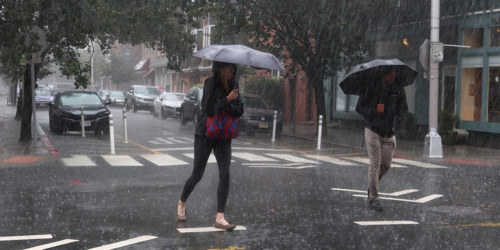 Severe storms to plague the Northern US with persistent rainfall and gusty winds this weekend
🌧️ WEEKEND WASHOUT: FOX Weather Meteorologist Ian Oliver shares an update on the impending wet weather headed for the Northern U.S. as severe storms will bring heavy rain and gusty winds this weekend. A massive cold…
-
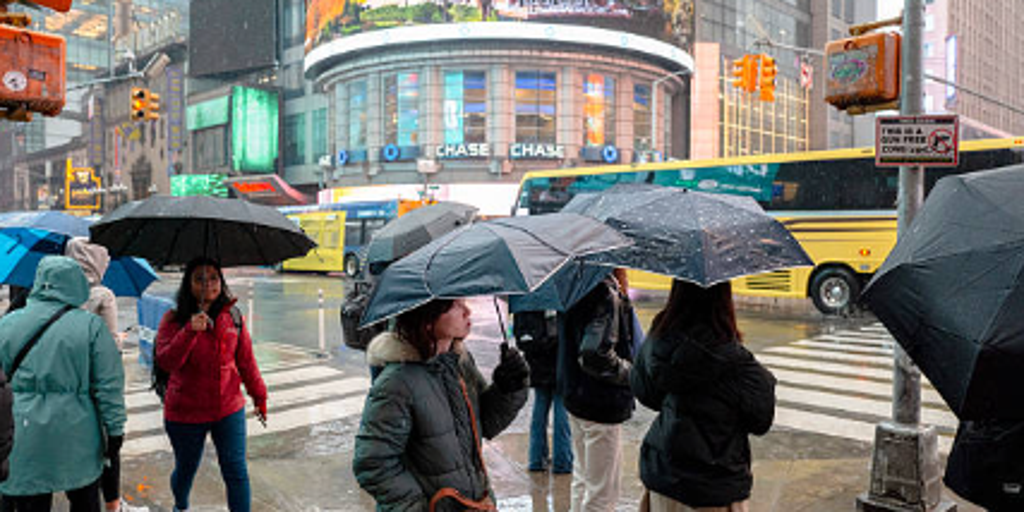 Severe storms threaten Northeast this weekend — where will the heaviest rain fall?
A week of pleasant fall weather will come to a screeching halt this weekend for people in the Northeast U.S. as severe storms bring nasty rain and strong winds. A surge in rainfall and dropping temperatures will arrive…
- Strong low-pressure system to CNY Friday
Call 315-464-5500 or text "CALLIN" to 41444 to make a donation to the Upstate Foundation. You can call/text between now and 6:30 p.m. Waking up to a stubborn cloud deck draped across central New York making for a rather…
-
 FL1 FORECAST: Clouds ease Thursday before rain, wind and a sharp Saturday chill
October 15, 2026 4:43 AM / Staff Report Low clouds will gradually give way to brighter intervals across the Finger Lakes and Central New York on Thursday before a fast-moving storm brings widespread rain, gusty winds…
Air quality
Air quality is satisfactory, and air pollution poses little or no risk.
Forecast
- ThuGood (32)
Central New York Region, NY reporting area · 1 hr ago. Data from AirNow (EPA and its state, local and tribal partners); preliminary and subject to change.
Sun & moon
Almanac
MonthlySyracuse Area, records since 1902. Normals 1991–2020. Data from NOAA's Regional Climate Centers (ACIS).
Nearby
- Clay 18 km
- Cicero 18 km
- Auburn 32 km
- Cortland 47 km
- Oswego 55 km
- Fulton 38 km
- Oneida 45 km
- Fairmount 4 km
- Baldwinsville 19 km
- North Syracuse 14 km
- Seneca Falls 50 km
- Mattydale 10 km
Forecasters' discussion
From the National Weather Service office in BGM, issued 3 hrs ago
What Has Changed
Slightly adjusted some of the afternoon dewpoint values for the next couple of days along with winds for this afternoon.
Key Messages
1) High pressure will remain over the region through early next week with dry conditions, warm afternoon temperatures, and cool mornings.
Discussion
KEY MESSAGE 1...
Few changes overall to the forecast. High pressure will continue to dominate through the early part of next week. A weak cold front will attempt to push through the region today but with no moisture. This should allow for slightly cooler temperatures Friday followed by a warming trend this weekend. Inverted V soundings continue to show up each afternoon through the weekend. Momentum transfer does show the potential for a few strong wind gusts this afternoon. The other issue to take into account is a typical model high bias of afternoon dewpoints in this pattern, RGEM model not as biased here. Yet another cold front attempts to break down the ridge a bit early next week but also looks moisture starved.
Aviation
High pressure continues to bring VFR conditions to much of the area through the end of the TAF period. ELM may see some patchy fog again later this morning as temperatures and dewpoints fall into the upper 20s. TEMPO IFR restrictions have been included for a few hours around sunrise. Winds are currently active and may remain active for a few more hours, limiting fog development.
A moisture-starved front moving through the area tomorrow can lead to some scattered clouds and north-northwest winds gusting around 15-20 knots in the afternoon.
Outlook...
Thursday night through Monday...Mainly VFR. Morning fog at KELM possible each morning.
Forecasts, observations and alerts in the United States come from the National Weather Service (NOAA); radar from NOAA's Multi-Radar Multi-Sensor system; satellite imagery from NASA's Global Imagery Browse Services (GIBS) and NOAA's GOES satellites; the map from the U.S. Geological Survey's National Map; air quality from AirNow (EPA and its partners); hurricane information from the National Hurricane Center; climate normals and records from NOAA's Regional Climate Centers (ACIS). Forecasts outside the United States and the UV index: MET Norway (CC BY 4.0); observations outside the U.S.: airport reports via NOAA's Aviation Weather Center. Place names: GeoNames (CC BY 4.0). Data are copied on a schedule and may lag the sources; for warnings that affect your safety, follow your local National Weather Service office and emergency officials. Weather news is drawn from the 4Search index and reflects what the press published. Terms of use.