Install
Baldwinsville, NY Weather
Current conditions
Observed at Syracuse, Syracuse Hancock International Airport · 1 hr ago
Forecast
10-day-
Today
Sunny, with a high near 52. North wind around 5 mph.
-
Tonight
Partly cloudy, with a low around 31. East wind 0 to 3 mph.
-
Wednesday
Partly sunny, with a high near 63. Southeast wind 2 to 6 mph.
National Weather Service forecast updated 8 hrs ago.
Hourly
Hourly forecast- Now50°
- 3 PM50°
- 4 PM51°
- 5 PM50°
- 6 PM47°
- 7 PM44°
- 8 PM39°
- 9 PM37°
- 10 PM35°
- 11 PM34°
- Wed12 AM34°
- 1 AM33°
- 2 AM33°
- 3 AM32°
- 4 AM32°
- 5 AM34°
- 6 AM34°
- 7 AM34°
- 8 AM35°
- 9 AM40°
- 10 AM46°
- 11 AM50°
- 12 PM55°
- 1 PM58°
10-day forecast
Details- TodayOct 27Sunny31°52°
- WedOct 28Partly Sunny47°63°
- ThuOct 29Sunny39%51°71°
- FriOct 30Chance Rain Showers then Mostly Sunny36%37°61°
- SatOct 31Partly Sunny42°62°
- SunNov 1Mostly Cloudy then Chance Rain Showers50%49°64°
- MonNov 2Chance Rain Showers50%47°64°
- TueNov 3Rain0.45 in47°58°
- WedNov 4Light rain0.56 in57°67°
- ThuNov 5Partly cloudy62°73°
Days after the National Weather Service's seven are MET Norway's outlook, a computer model with no forecaster's review.
Radar
Full mapWeather news in New York
More weather news-
 First Alert Weather: Freezing temps overnight for some parts of New York - 10/24/26
CBS News - The 5:33 | Legacy of the LIRR Massacre - On The Dot with David Schechter: Wildfires & Climate Change First Alert Weather: Freezing temps overnight for some parts of New York - 10/24/26 Trump, Obama make…
-
 Sunday Evening Forecast
Another beautiful evening in Central New York after highs in the mid 60s. Lows tonight are much more mild, only in the mid 30s. Some patchy frost on hilltops north and south of the Mohawk Valley but most places remain…
-
 First Alert Weather: Sun and clouds Saturday in New York - 10/24/26
CBS News - The 5:33 | Legacy of the LIRR Massacre - On The Dot with David Schechter: Wildfires & Climate Change First Alert Weather: Sun and clouds Saturday in New York - 10/24/26 First Alert Weather: Near normal temps…
-
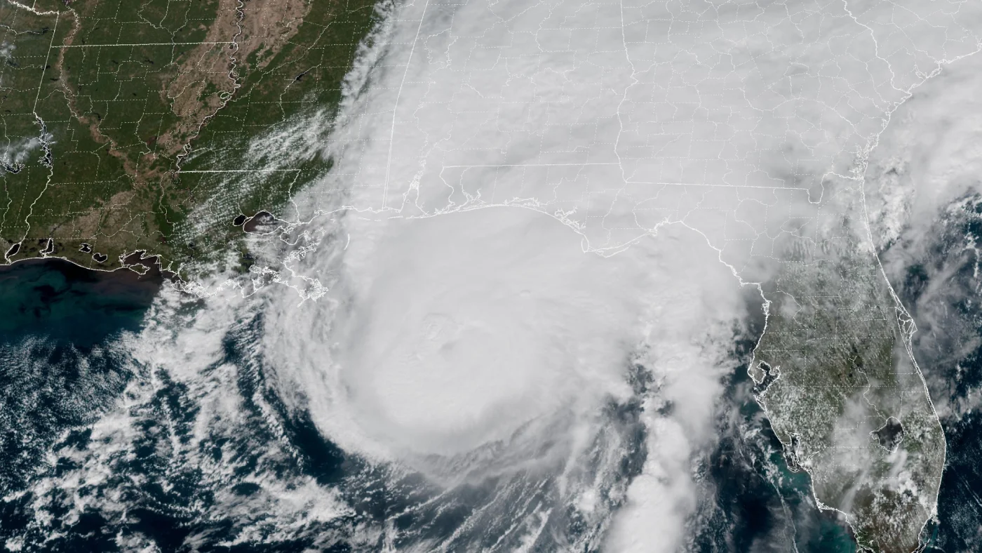 How AI is transforming hurricane forecasts
A satellite image provided by the National Oceanic and Atmospheric Administration (NOAA) shows Hurricane Isaias approaching the Gulf Coast of Alabama and Florida on Friday, Oct. 9 2026. NOAA/NOAA hide caption Hurricane…
-
 Another Dry Day Today
It is a frosty start to the day, although highs will be in the low to mid 60s before dipping in the late afternoon. A weak cold front arrives and brings slight changes to the weather. The cold front is weak, and it gets…
-
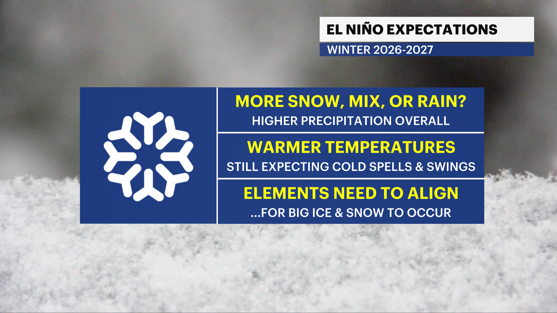 Winter Weather Awareness: Are you ready?
Oct 26, 2026, 11:34 AM Winter will be here before you know it and the time to start preparing is now. This week is winter weather awareness week and we’re starting off with winter weather preparedness. The National…
-
 Saturday Evening Forecast
The dry, sunny stretch of weather continues through the second half of the weekend. Lows tonight will be in the upper 20s and we will see areas of frost yet again. The dry, sunny stretch of weather continues through the…
-
 Halloween 2026 Forecast For Upstate New York
As of right now things looks pretty good for October 31st. A little cool with a high of 50 degrees, but also sunny. That's according to the current 10 day forecast from Accuweather. Hopefully we get a little warmer than…
- Winter was a no-snow for New York City again
For a second straight winter, snow lovers in New York City were left wanting more. The city saw more snowfall than last year, when it saw the least on record, but it was far below average. Let's take a look at the…
-
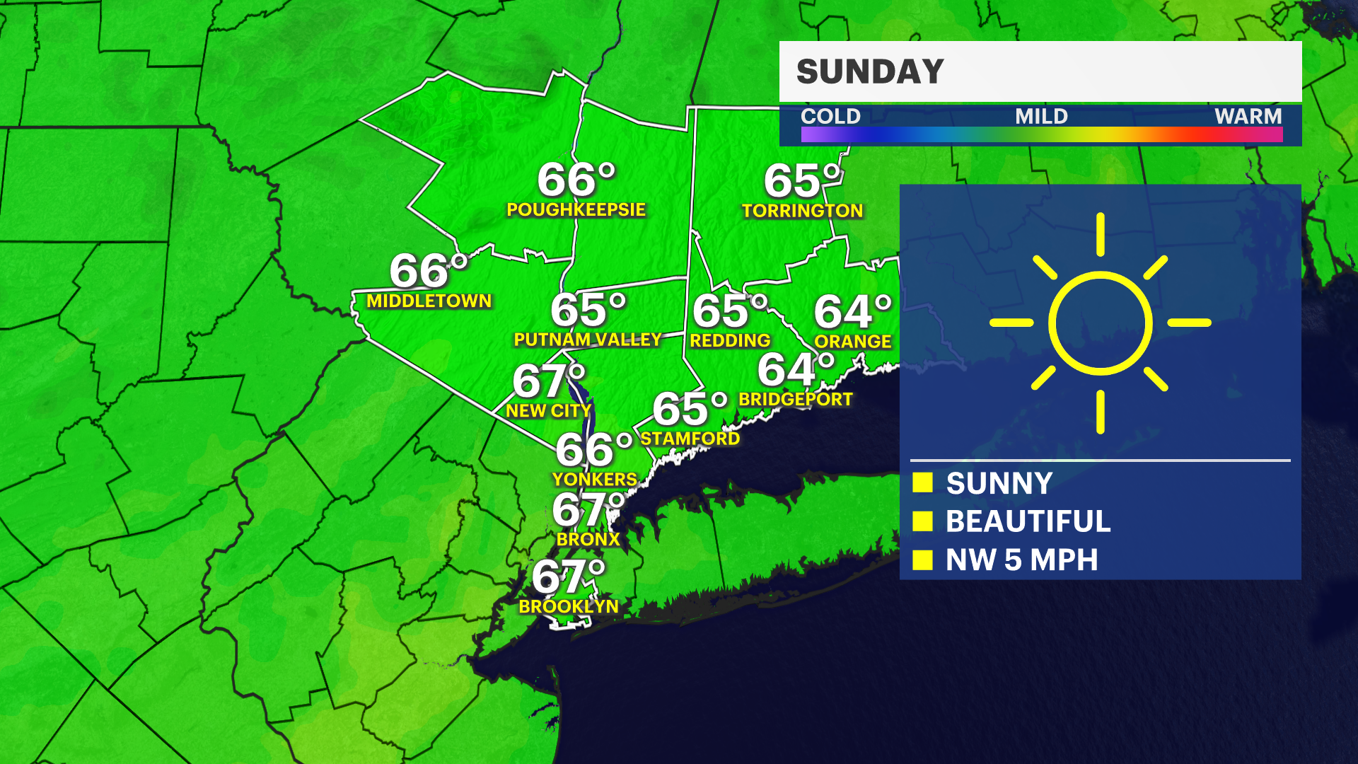 Sunny and seasonable Sunday across Brooklyn
Oct 24, 2026, 9:36 PM The borough will see a clear sky with calm winds, making for a chillier overnight. Sunday will feature abundant sunshine and highs in the mid-60s. The warming trend continues Monday, with…
Air quality
Air quality is satisfactory, and air pollution poses little or no risk.
Forecast
- TueGood (22)
Central New York Region, NY reporting area · 1 hr ago. Data from AirNow (EPA and its state, local and tribal partners); preliminary and subject to change.
Sun & moon
Almanac
MonthlySyracuse Area, records since 1902. Normals 1991–2020. Data from NOAA's Regional Climate Centers (ACIS).
Nearby
Forecasters' discussion
From the National Weather Service office in BGM, issued 8 hrs ago
What Has Changed
No changes to previous forecast.
Key Messages
1) Mostly dry weather continues through most of the weekend.
Discussion
KEY MESSAGE 1...
The dry pattern that has been in place for the last week plus will mostly continue into the weekend as high pressure and ridging dominates the region.
Behind an earlier passing cold front, a drier and briefly cooler airmass will advect into the region. This will cause reductions to Td/RH values today and combined with the dry pattern for the last week plus, some fire weather concerns will continue. However, winds are expected to remain mostly on the lighter side, helping to limit any more elevated concerns.
Dry weather will continue through the day on Thursday ahead of an approaching cold front. The cold front, extending southwest from a sfc low tracking from the Upper Great Lakes into Canada, will cross the area Thursday night into Friday morning. Guidance is starting to trend slightly wetter with the passing front, but most of the showers should be near/north of I90 for Thursday night into Friday morning. Ahead of the approaching cold front, temperatures and dewpoint values will increase each day for Wednesday and Thursday as southerly flow develops.
Mainly dry conditions are expected for Friday afternoon through at least most of Sunday afternoon. A sfc low will track across the Ohio Valley and across the Central Great Lakes, spreading an area of showers across the region. This appears to mark a transitions to a wetter pattern starting early next week. There is still uncertainty in track of sfc low and timing, but it does appear as though our stretch of dry weather will come to an end late Sunday into early next week.
Aviation
VFR conditions are expected today at all terminals with light and variable winds.
Outlook...
Tuesday Night through Saturday...Mainly VFR. Morning fog at KELM possible each morning. Low chance for showers at KSYR and KRME Thursday night with a cold front moving through.
Forecasts, observations and alerts in the United States come from the National Weather Service (NOAA); radar from NOAA's Multi-Radar Multi-Sensor system; satellite imagery from NASA's Global Imagery Browse Services (GIBS) and NOAA's GOES satellites; the map from the U.S. Geological Survey's National Map; air quality from AirNow (EPA and its partners); hurricane information from the National Hurricane Center; climate normals and records from NOAA's Regional Climate Centers (ACIS). Forecasts outside the United States and the UV index: MET Norway (CC BY 4.0); observations outside the U.S.: airport reports via NOAA's Aviation Weather Center. Place names: GeoNames (CC BY 4.0). Data are copied on a schedule and may lag the sources; for warnings that affect your safety, follow your local National Weather Service office and emergency officials. Weather news is drawn from the 4Search index and reflects what the press published. Terms of use. How to use Weather