Install
Homer, NY 13077 Weather
Current conditions
Observed at Cortland County-Chase Field · 1 hr ago
Forecast
10-day-
This Afternoon
Sunny, with a high near 57. North wind around 5 mph.
-
Tonight
Mostly clear, with a low around 33. North wind around 3 mph.
-
Thursday
Mostly sunny, with a high near 55. Northwest wind 3 to 10 mph.
National Weather Service forecast updated 8 hrs ago.
Hourly
Hourly forecast- Now56°
- 5 PM54°
- 6 PM50°
- 7 PM43°
- 8 PM38°
- 9 PM36°
- 10 PM34°
- 11 PM34°
- Thu12 AM34°
- 1 AM33°
- 2 AM33°
- 3 AM34°
- 4 AM34°
- 5 AM34°
- 6 AM33°
- 7 AM35°
- 8 AM35°
- 9 AM38°
- 10 AM43°
- 11 AM48°
- 12 PM51°
- 1 PM53°
- 2 PM55°
- 3 PM55°
10-day forecast
Details- TodayOct 21Sunny33°57°
- ThuOct 22Mostly Sunny28°55°
- FriOct 23Sunny27°51°
- SatOct 24Sunny31°57°
- SunOct 25Sunny39°60°
- MonOct 26Mostly Sunny39°60°
- TueOct 27Partly Sunny then Slight Chance Rain Showers15%32°53°
- WedOct 28Cloudy40°55°
- ThuOct 29Cloudy47°59°
- FriOct 30Light rain0.18 in42°52°
Days after the National Weather Service's seven are MET Norway's outlook, a computer model with no forecaster's review.
Radar
Full mapWeather news near Homer
More weather news-
 Rain is Coming: Prepare Your Home and Family
Rain is expected to return to San Diego County this week. The National Weather Service forecasts cooler temperatures, showers and a chance of thunderstorms across the region beginning Wednesday evening and continuing…
-
 Nine expert tips for staying warm at home without turning up the heating
There are several tricks and tips for keeping warm and cosy during cold weather With temperatures dipping across the UK, experts have revealed how to stay warm at home during the cooler months without turning the…
-
 Ladybugs completely swarm Ontario home in October
The Weather Network
- NYC Weather Forecast Sunny Monday And Windy Week Ahead
Monday night turns partly cloudy with a low near 54, while northeast winds increase overnight. Tuesday stays mostly dry and partly sunny with a high around 65, but north winds of 14 to 17 mph could feel sharper…
-
 ‘Dangerous mistake’ Brits make when heating homes in winter - expert issues warning
Families with young babies need to take particular care because infants cannot regulate their body temperature as effectively as adults. Mr McKenzie said: “For families with young babies, warming the home properly is…
-
 Warming trend in Minnesota continues, as rain holds off
CBS News Minnesota is a local news organization that is part of CBS News and Stations. Also referred to as WCCO-TV and channel 4, CBS News Minnesota offers local breaking news, weather coverage and investigative…
-
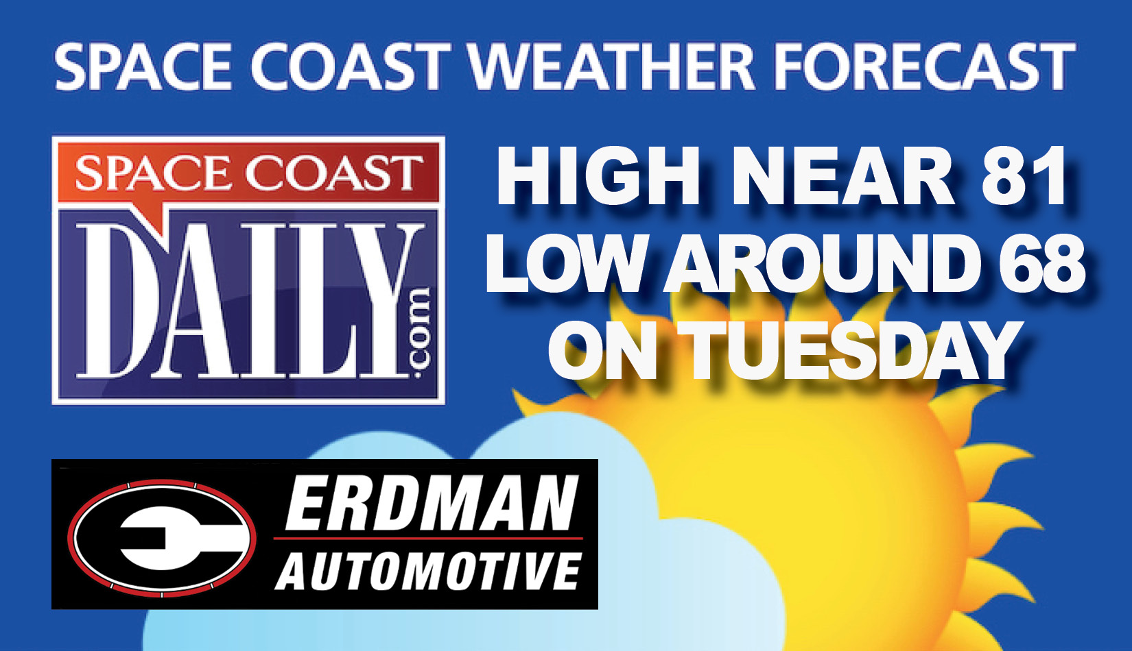 BREVARD WEATHER: Sunny, With a High Near 81, Tuesday On the Space Coast
Tuesday: A 20 percent chance of showers after 2 pm. Sunny, with a high near 81. Home » Home » BREVARD WEATHER: Sunny, With a High Near 81, Tuesday On the Space Coast By Space Coast Daily // October 20, 2026
-
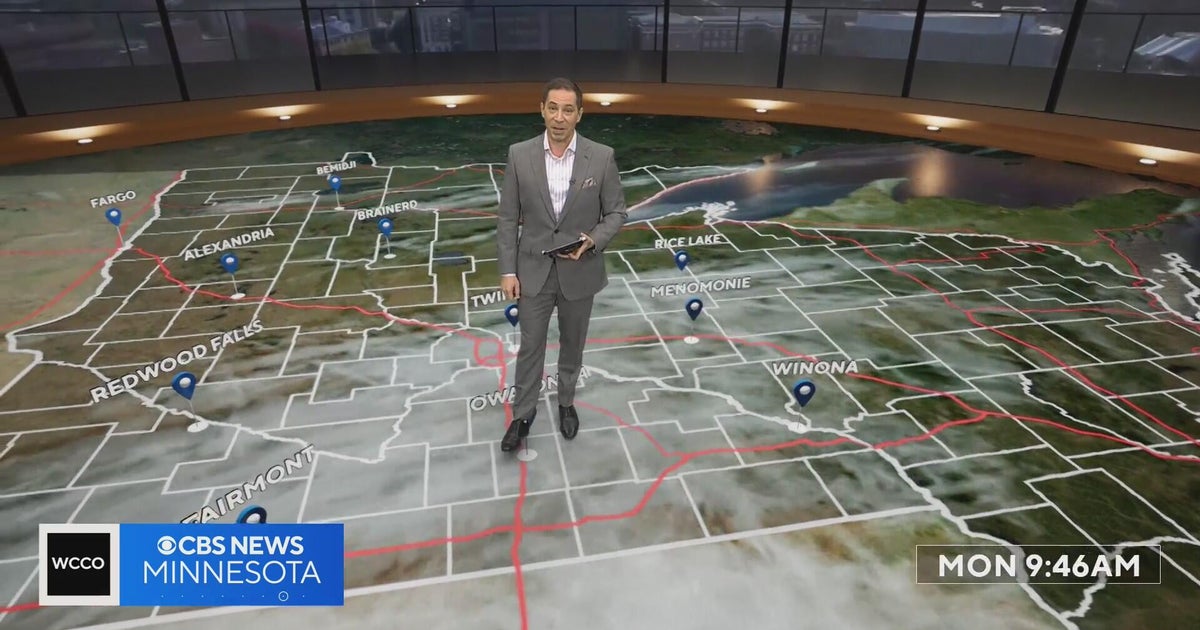 Minnesota’s warm, dry streak continues, with temperatures nearing 80 by Thursday | Oct. 19, 2026
A ridge of high pressure keeps the jet stream and cold air to the north, WCCO’s meteorologist says. Highs reach nearly 70 in the Twin Cities Wednesday, the mid 70s Thursday and close to 80 in parts of south central…
-
 Stretch of dry, pleasant days through this week
FOX Carolina News Stretch of dry, pleasant days through this week Family remembers father killed when tree fell on home during Isaias remnants Beautiful Fall weather takes over the Western Carolinas Beautiful fall…
-
 As Durham County remains in severe drought, Lake Michie Park and Marina remain closed
DURHAM, N.C. (WTVD) -- Durham County remains in severe drought, with conditions showing little improvement despite recent rainfall. At Lake Michie, home to Duke Rowing, much of the shoreline remains exposed. The Lake…
Air quality
Air quality is satisfactory, and air pollution poses little or no risk.
Forecast
- WedGood (35)
- ThuGood (32)
Central New York Region, NY reporting area · 1 hr ago. Data from AirNow (EPA and its state, local and tribal partners); preliminary and subject to change.
Sun & moon
Almanac
MonthlyIthaca Cornell Univ, records since 1893. Normals 1991–2020. Data from NOAA's Regional Climate Centers (ACIS).
Nearby
- Syracuse 42 km
- Clay 57 km
- Cicero 56 km
- Ithaca 36 km
- Auburn 42 km
- Cortland 8 km
- Fairmount 42 km
- Baldwinsville 55 km
- Norwich 57 km
- North Syracuse 52 km
- Seneca Falls 56 km
- South Hill 38 km
Forecasters' discussion
From the National Weather Service office in BGM, issued 2 hrs ago
What Has Changed
Slightly adjusted some of the temperature and dewpoint values for the next couple of days.
Key Messages
1) High pressure will remain over the region for at least the next week with dry conditions, warm afternoon temperatures, and cool mornings.
Discussion
KEY MESSAGE 1...
The ongoing weather pattern is as uneventful as it gets for our region and for the most part, a persistence forecast was used. In fact, with a very similar setup to last night, tonight's forecast low temperatures were mostly copied over from last night's observed lows with a few minor tweaks around the Lake Plain.
A moisture-starved cold front will move through the area on Thursday, but precipitation is not expected from this front. The only visible impact from this front will be partly sunny to mostly cloudy skies Thursday instead of the abundant sunshine we have seen the last several days, followed by slightly cooler temperatures and a return to abundant sunshine on Friday.
Another weak cold front will move through the area during the Monday/Tuesday timeframe next week, but chances are that this will also be moisture-starved with little to no precipitation.
Aviation
VFR conditions are expected across much of the region through the TAF period with high pressure overhead. With temperatures and dew points expected to be similar to last night, patchy valley fog is likely with temporary IFR/LIFR restrictions at ELM. The timing for restrictions there is based off of persistence the past couple of nights with low clouds/fog breaking around 13Z.
A moisture-starved front moving through the area tomorrow can lead to some scattered clouds and north-northwest winds gusting around 15-20 knots in the afternoon.
Outlook...
Thursday afternoon through Monday...Mainly VFR. Morning fog at KELM possible each morning.
Forecasts, observations and alerts in the United States come from the National Weather Service (NOAA); radar from NOAA's Multi-Radar Multi-Sensor system; satellite imagery from NASA's Global Imagery Browse Services (GIBS) and NOAA's GOES satellites; the map from the U.S. Geological Survey's National Map; air quality from AirNow (EPA and its partners); hurricane information from the National Hurricane Center; climate normals and records from NOAA's Regional Climate Centers (ACIS). Forecasts outside the United States and the UV index: MET Norway (CC BY 4.0); observations outside the U.S.: airport reports via NOAA's Aviation Weather Center. Place names: GeoNames (CC BY 4.0). Data are copied on a schedule and may lag the sources; for warnings that affect your safety, follow your local National Weather Service office and emergency officials. Weather news is drawn from the 4Search index and reflects what the press published. Terms of use.