Install
Ossining, NY 10562 Weather
Current conditions
Observed at White Plains - Westchester County Airport · 27 min ago
Forecast
10-day-
Tonight
Clear, with a low around 43. North wind 10 to 14 mph, with gusts as high as 24 mph.
-
Wednesday
Sunny. High near 62, with temperatures falling to around 60 in the afternoon. North wind 10 to 15 mph.
-
Wednesday Night
Mostly clear, with a low around 43. North wind around 14 mph.
National Weather Service forecast updated 9 hrs ago.
Hourly
Hourly forecast- Now48°
- 1 AM47°
- 2 AM46°
- 3 AM45°
- 4 AM45°
- 5 AM44°
- 6 AM44°
- 7 AM43°
- 8 AM44°
- 9 AM46°
- 10 AM50°
- 11 AM53°
- 12 PM56°
- 1 PM58°
- 2 PM59°
- 3 PM60°
- 4 PM61°
- 5 PM60°
- 6 PM57°
- 7 PM54°
- 8 PM50°
- 9 PM48°
- 10 PM48°
- 11 PM48°
10-day forecast
Details- TonightOct 20Clear43°
- TodayOct 21Sunny43°62°
- ThuOct 22Sunny44°63°
- FriOct 23Sunny40°56°
- SatOct 24Sunny43°60°
- SunOct 25Sunny47°64°
- MonOct 26Sunny51°67°
- TueOct 27Mostly Sunny62°
- WedOct 28Rain0.19 in45°52°
- ThuOct 29Mostly sunny38°54°
Days after the National Weather Service's seven are MET Norway's outlook, a computer model with no forecaster's review.
Radar
Full mapWeather news near Ossining
More weather news-
 Sunny stretch of weather continues with fall-like temperatures
CBS News - The 5:33 | Legacy of the LIRR Massacre - On The Dot with David Schechter: Wildfires & Climate Change Sunny stretch of weather continues with fall-like temperatures Union workers locked out of largest East…
-
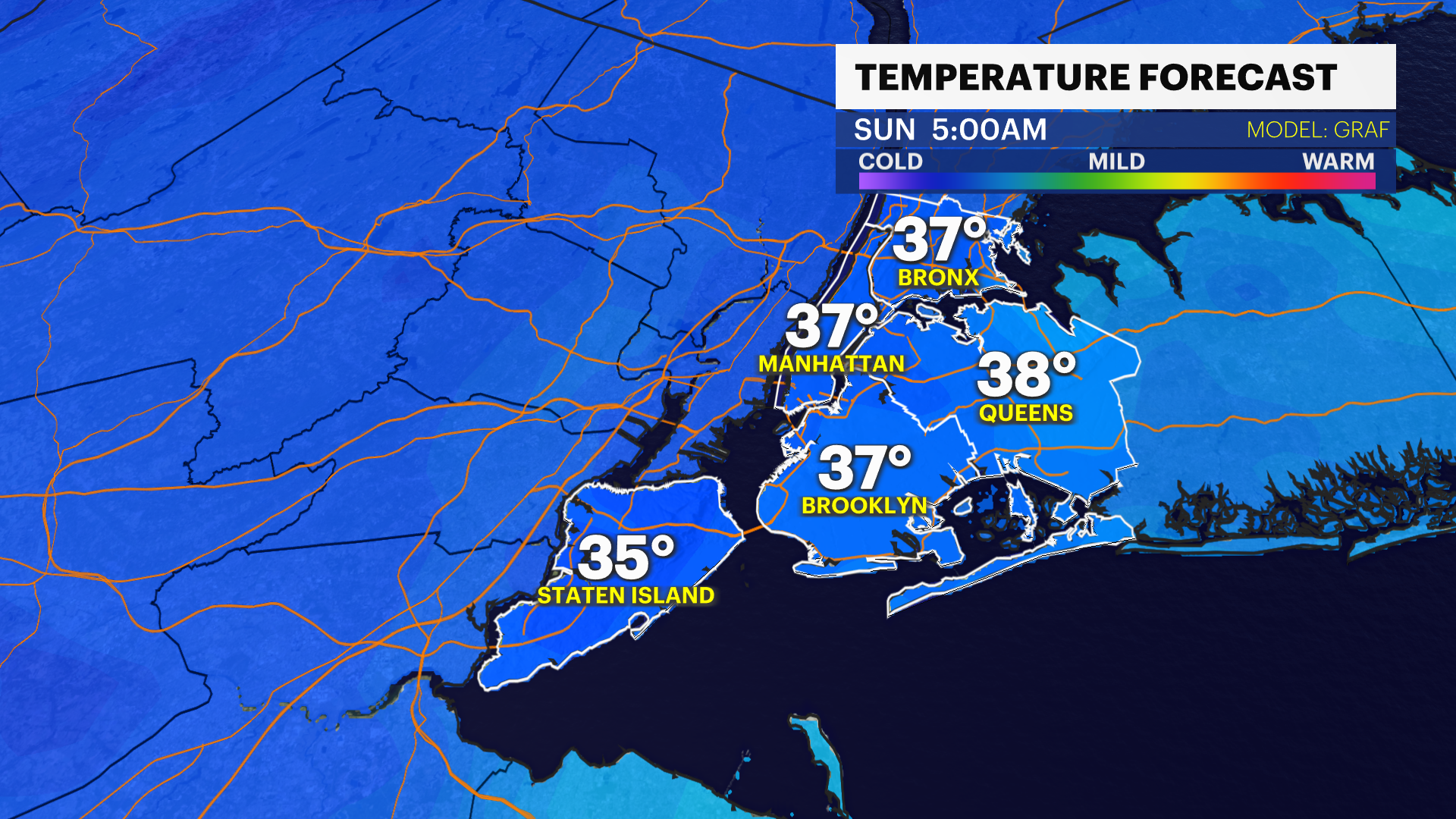 Blast of cold brings a chilly weekend to the Bronx
Oct 17, 2026, 5:45 AM A damp and breezy start to the morning. Windy & feels like only 50-degrees this afternoon Freezing temperatures are not expected Sunday morning for Long Island, but it will feel like the low 30s…
-
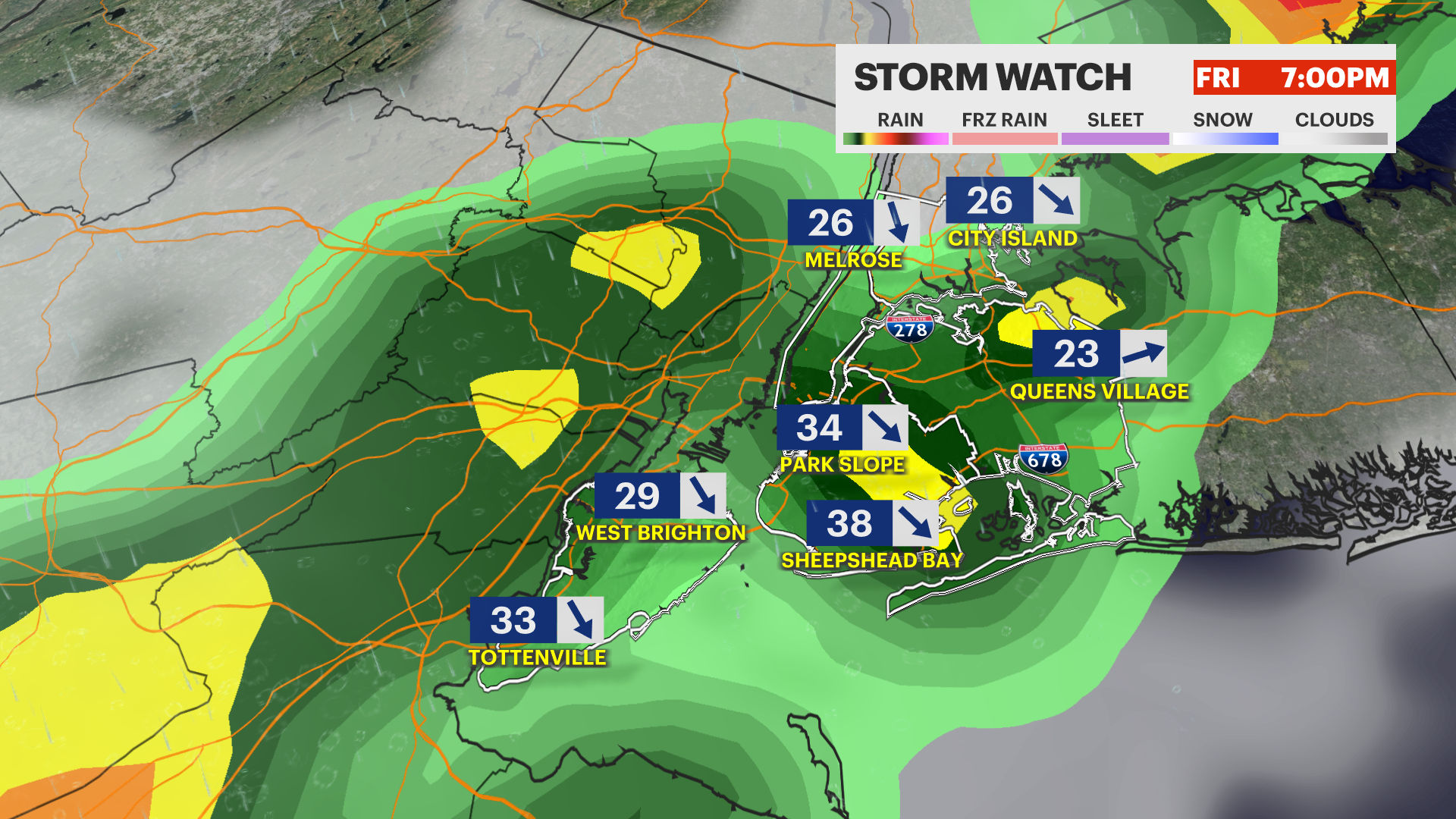 STORM WATCH: Strong to severe thunderstorms today with a dramatic drop in temps this weekend in the Bronx
News12 | Long Island STORM WATCH: Strong to severe thunderstorms today with a dramatic drop in temps this weekend in the Bronx Keep umbrellas handy. Another round of gusty storms arrives this evening. Oct 16, 2026…
- NYC Weather: Warm Wednesday, Rainy Friday, Chilly Weekend
New York City is starting Wednesday clear and around 67 degrees, with one more warm, humid day ahead before fall makes a forceful return. Skies should stay mostly sunny for much of the day, with temperatures climbing to…
-
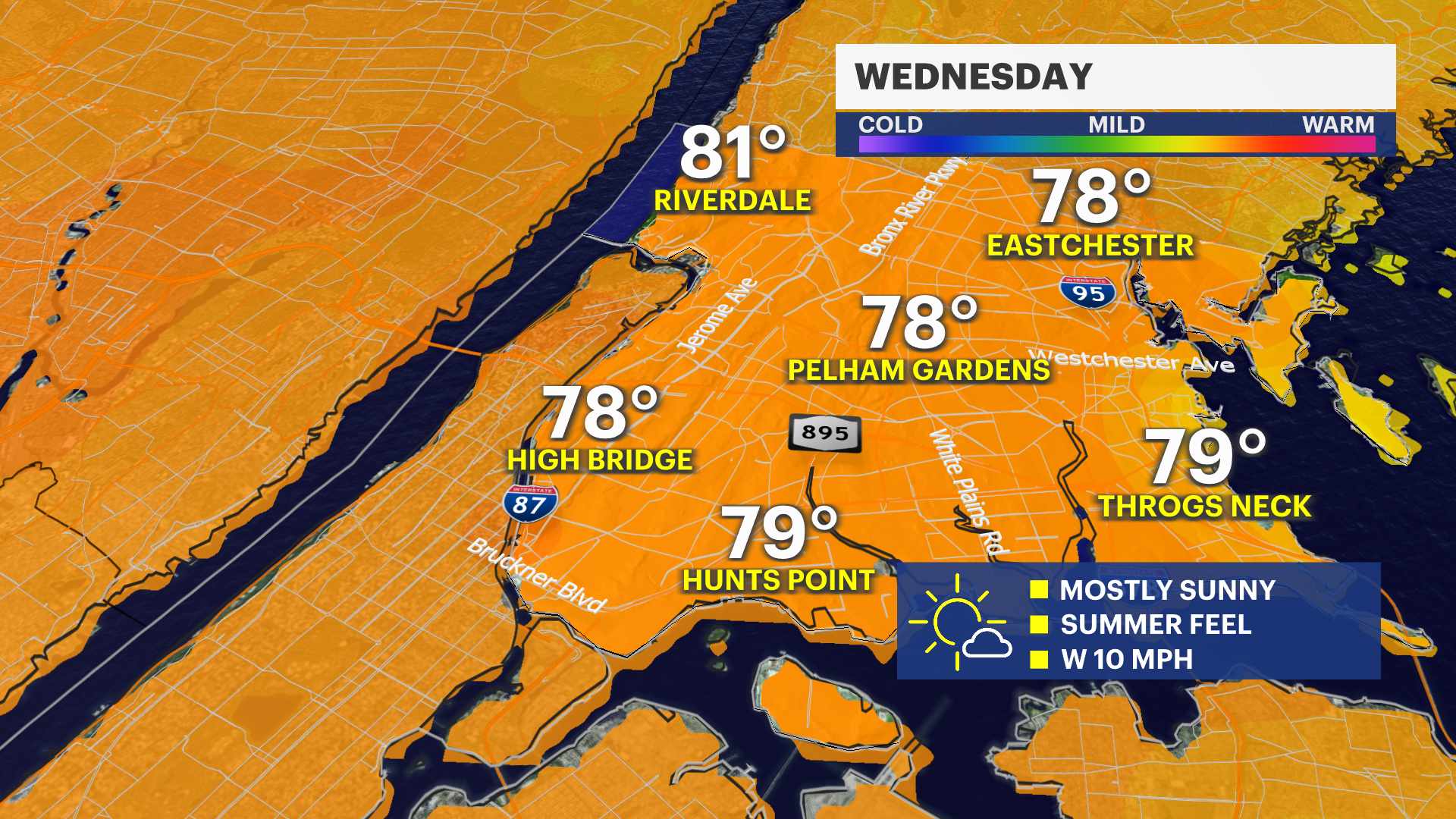 Warm weaterly winds bring temps close to 80 in the Bronx on Wednesday
Oct 13, 2026, 4:32 PM A frontal system to the north is bringing some clouds Tuesday evening, but any chance of showers will stay well north of the borough. Expect summer-like warmth on Wednesday afternoon, with highs…
-
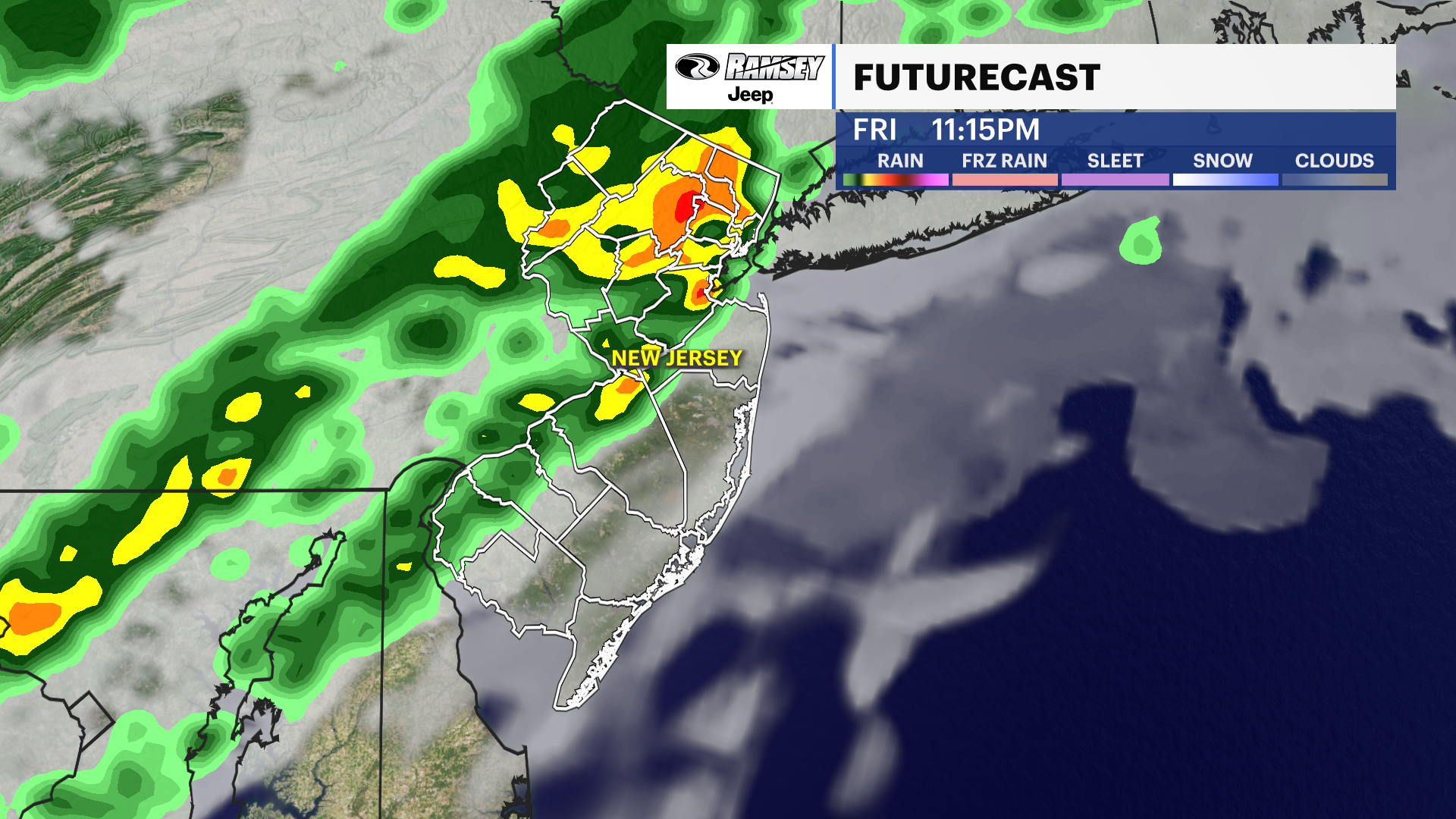 Barnegat Inlet, NJ [8533615]
Your Daily New Jersey Weather Forecast News12 | Westchester Warm start, cool finish: New Jersey's weather takes a roller-coaster turn this week A cooling trend is expected over the next few days as we lose the unusually…
-
 Freeze alerts stretch from Missouri to New York for Sunday
Temps drop for millions across the Central Plains, Midwest, Northeast The first real taste of fall is settling in for millions, including a few first frosts and freezes of the season for some in the Midwest and East…
-
 First Alert Weather: Bright sunshine, crisp air for Sunday in New York - 10/17/26
CBS News Detroit Weekend 11pm CBS News Los Angeles Weekend 8pm CBS News Philadelphia Weekend KDKA News Weekend 11pm CBS News Texas Weekend 10pm
-
 First Alert Weather: Clear skies with chilly temps Sunday in New York - 10/17/26
CBS News Bay Area Evening Edition Weekend 6pm CBS News Detroit Weekend 6pm CBS News Los Angeles Weekend 6pm CBS News Philadelphia 7:30pm Health Watch on CBS News Sacramento CBS News Texas Saturday 5pm
-
 Dangerous Freeze Warnings for 7 Counties in New York as Temperatures Plummet
Freeze Warnings take effect tonight across parts of New York, with lows in the upper 20s to around 30 expected from the Hudson Valley to Buffalo. The warnings run into 9 a.m. EDT Sunday. Frost and freeze conditions…
Air quality
Forecast
- WedGood (22)
Greenwich, CT reporting area. Data from AirNow (EPA and its state, local and tribal partners); preliminary and subject to change.
Sun & moon
Almanac
MonthlyWestchester Co Ap, records since 1948. Normals 1991–2020. Data from NOAA's Regional Climate Centers (ACIS).
Nearby
- Manhattan 44 km
- The Bronx 35 km
- Yonkers 27 km
- Paterson 39 km
- Stamford 29 km
- North Stamford 26 km
- Norwalk 38 km
- Greenburgh 15 km
- Clifton 43 km
- Danbury 42 km
- East Norwalk 39 km
- New Rochelle 29 km
Forecasters' discussion
From the National Weather Service office in OKX, issued 4 hrs ago
What Has Changed
Changes to SCAs and gale warnings. Otherwise, no other significant changes at this time.
Key Messages
1) Mainly dry and breezy weather conditions are expected through Thursday of this week. Gusty NE flow through middle of week becomes less gusty and more northerly Thursday.
2) Brief minor coastal flooding for the high tide cycle Wednesday evening for some spots, and possibly again for at least the Thursday morning high tide cycle.
3) Strong high pressure will set the stage for much lighter winds Friday into early next week as well as a gradual warming trend.
Key Message 1
The nor'easter well southeast of Long Island is expected to slow down through the middle of this week. In the mid to upper levels, there will be a lack of steering flow as the geopotential height gradient is loose. This gradient tightens Thursday with more mid level flow with a more northwest to southeast orientation.
A deepening upper level trough approaching from SE Canada Thursday will steer the nor'easter offshore much farther out into the Atlantic thereafter through Thursday night. Thursday will still be breezy but not as much as the previous day. A dry cold frontal passage is expected.
With the center of high pressure staying north of the region and low pressure strengthening well southeast of Long Island, the pressure gradient will remain steep to allow for NE gusty winds through the middle of this week. Highest and most frequent gusts will be along the coast and less gusts and lower magnitude of gusts farther away from the coast going farther inland. Gusts forecast mainly in the range of 25 to 35 mph but some localized occasional peak gusts up to around 40 mph will be possible especially along the immediate coastline.
Now with the winds picking up, and the continuous flow, that is building the water heights with fetch. Increasing outer waves of 10 to 12 ft but with easterly component to the swell, which will really cut down on the breaking waves to the shore to more near the 4 to 7 ft range, overall on average under high surf advisory thresholds.
Most locations are expected to remain dry with this low passing well offshore but extreme eastern locations, such as the Twin Forks of Long Island and eastern New London CT could briefly have rain showers Wednesday night into early Thursday morning. Forecast rain amounts are under a quarter of an inch.
With boundary layer winds staying up and mixed, less of a diurnal temperature range is expected with temperatures through Thursday night. Forecast highs in the upper 50s to lower 60s Wednesday and more into the 60s for Thursday. Forecast lows mainly in mid 30s to 40s range for tonight through Thursday night.
Outlook For 00z Thursday Through Sunday
Thursday and Friday: VFR. N winds G15-20kt.
Saturday and Sunday: VFR.
Detailed information, including hourly TAF wind component forecasts, can be found at: https:/www.weather.gov/zny/n90
Forecasts, observations and alerts in the United States come from the National Weather Service (NOAA); radar from NOAA's Multi-Radar Multi-Sensor system; satellite imagery from NASA's Global Imagery Browse Services (GIBS) and NOAA's GOES satellites; the map from the U.S. Geological Survey's National Map; air quality from AirNow (EPA and its partners); hurricane information from the National Hurricane Center; climate normals and records from NOAA's Regional Climate Centers (ACIS). Forecasts outside the United States and the UV index: MET Norway (CC BY 4.0); observations outside the U.S.: airport reports via NOAA's Aviation Weather Center. Place names: GeoNames (CC BY 4.0). Data are copied on a schedule and may lag the sources; for warnings that affect your safety, follow your local National Weather Service office and emergency officials. Weather news is drawn from the 4Search index and reflects what the press published. Terms of use.