Install
Bridgewater, NJ 08807 Weather
Current conditions
Forecast for this hour (no station report in the last two hours)
Forecast
10-day-
This Afternoon
Sunny, with a high near 70. North wind 10 to 15 mph.
-
Tonight
Mostly clear, with a low around 42. North wind around 10 mph, with gusts as high as 25 mph.
-
Wednesday
Mostly sunny, with a high near 65. Northeast wind 10 to 15 mph.
National Weather Service forecast updated 5 hrs ago.
Hourly
Hourly forecast- Now66°
- 6 PM63°
- 7 PM57°
- 8 PM54°
- 9 PM55°
- 10 PM54°
- 11 PM52°
- Wed12 AM51°
- 1 AM50°
- 2 AM49°
- 3 AM48°
- 4 AM46°
- 5 AM46°
- 6 AM45°
- 7 AM44°
- 8 AM45°
- 9 AM47°
- 10 AM51°
- 11 AM54°
- 12 PM56°
- 1 PM58°
- 2 PM60°
- 3 PM61°
- 4 PM61°
10-day forecast
Details- TodayOct 20Sunny42°70°
- WedOct 21Mostly Sunny41°65°
- ThuOct 22Sunny41°69°
- FriOct 23Sunny38°61°
- SatOct 24Sunny36°60°
- SunOct 25Sunny42°65°
- MonOct 26Mostly Sunny46°70°
- TueOct 27Sunny41°63°
- WedOct 28Cloudy37°56°
- ThuOct 29Cloudy0.05 in48°65°
Days after the National Weather Service's seven are MET Norway's outlook, a computer model with no forecaster's review.
Radar
Full mapWeather news near Bridgewater
More weather news-
 Dangerous Freeze Warnings for 7 Counties in New York as Temperatures Plummet
Freeze Warnings take effect tonight across parts of New York, with lows in the upper 20s to around 30 expected from the Hudson Valley to Buffalo. The warnings run into 9 a.m. EDT Sunday. Frost and freeze conditions…
-
 Nor’easter forecast to impact East Coast weather next week: Will it hit NYC?
STATEN ISLAND, N.Y. — It was just a few weeks ago that a nor’easter brought powerful winds and rain to New York City. Now, AccuWeather is forecasting another coastal storm to develop this weekend. The nor’easter is…
-
 From 80s to 50s: Rounds of showers and a big cooldown ahead for NJ
A few rumbles of thunder are possible late Wednesday and again from Friday’s strong cold front. By definition, every thunderstorm contains lightning. And therefore, every thunderstorm is potentially dangerous. Having…
-
 ONNJ Weather - October 13, 2026
ONNJ Weather – October 13, 2026 On New Jersey ONNJ Weather – October 13, 2026 Meteorologist Mike Favetta’s New Jersey forecast for Tuesday and beyond. Sean Thrunk is an award-winning multi-media journalist and graduate…
-
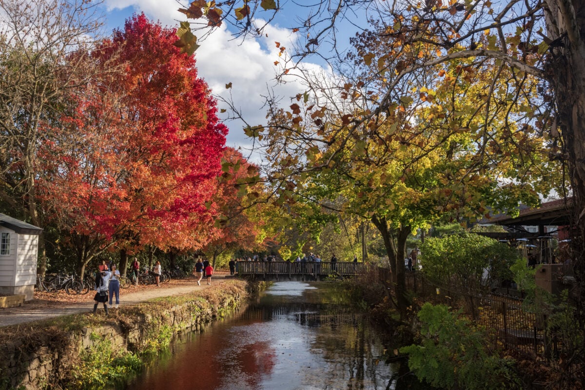 Sunshine Sticks Around New Jersey, but Cooler Days Arrive Before the Weekend
Home » New Jersey » Sunshine Sticks Around New Jersey, but Cooler Days Arrive Before the Weekend New Jersey, Weather Report NEW JERSEY — Sunshine dominates the forecast from Tuesday, October 20, through Saturday…
-
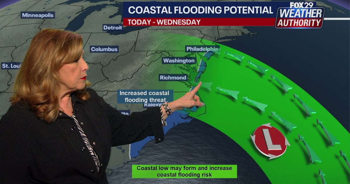 Coastal flooding threat looms for New Jersey, Delaware as nor'easter develops offshore
A developing nor'easter off the Carolina coast is expected to stay offshore but will still bring high winds, heavy surf, and possible coastal flooding along the Jersey Shore and Delaware beaches this week. PHILADELPHIA…
-
 New Jersey nor’easter threat grows as N.C. orders evacuations tonight
The freeze is only the first part of the forecast. Forecasters are also watching a slow moving nor’easter that could bring days of coastal flooding to the Jersey Shore next week. The warning covers Hunterdon, Morris…
-
 Bryan Norcross: Impactful nor'easter possible next week from North Carolina to New Jersey
A strong cold front is powering off the East Coast today. The coldest air of the year will blow in behind it. The front will push down the Florida Peninsula, but only slowly ease across South Florida, where heavy rain…
-
 Reminder to check your faucet now before the cold arrives in New Jersey
We're now officially past the half way point of October in New Jersey, and the air is continuing to cool down. In fact, this is around when a good portion of the state will start to experience that first frost of the…
-
 Dangerous Freeze Watch Issued for Maryland, DC, West Virginia and New Jersey as Temperatures Plummet
Freeze Watches are in effect from late Saturday night through Sunday morning across western Maryland, West Virginia and northern New Jersey, with lows in the upper 20s to low 30s possible. A strong cold front moves…
Air quality
Air quality is satisfactory, and air pollution poses little or no risk.
Forecast
- TueGood (40)
- WedGood (35)
North Central, NJ reporting area · 1 hr ago. Data from AirNow (EPA and its state, local and tribal partners); preliminary and subject to change.
Sun & moon
Almanac
MonthlyFlemington 5 Nnw, records since 1898. Normals 1991–2020. Data from NOAA's Regional Climate Centers (ACIS).
Nearby
- New York City 54 km
- Staten Island 41 km
- Newark 42 km
- Jersey City 49 km
- Paterson 53 km
- Elizabeth 36 km
- Edison 20 km
- Trenton 43 km
- Clifton 49 km
- Passaic 51 km
- Bayonne 44 km
- Middletown 48 km
Forecasters' discussion
From the National Weather Service office in PHI, issued 3 hrs ago
What Has Changed
Updated Key Message 1 and added Key Message 3. Aviation and marine sections updated.
Key Messages
1. A well offshore nor'easter bringing coastal impacts and hazardous marine conditions through Thursday.
2. A prolonged period of onshore flow will lead to multiple elevated high tide cycles this week resulting in rounds of coastal flooding.
3. Frost impacts possible Friday night and Saturday night where the growing season continues.
Discussion
KEY MESSAGE 1...A well offshore nor'easter bringing coastal impacts and hazardous marine conditions through Thursday.
A closed low off the Mid-Atlantic coast will gradually shift north and eastward through later this week. This will continue to support surface low pressure, which is forecast to strengthen as it slowly moves north and northeastward (even meanders some for a time). Meanwhile, strong surface high pressure will become more centered across northern New England through Wednesday. These systems will result in a tightening pressure gradient into our area through late Wednesday.
While this this nor'easter remains hundreds of miles off of our coast (an ocean storm), some impacts are still being felt for our coastal and marine areas. The wind field has strengthened some today with stronger surface winds being observed across most of the area. Some of this wind will decouple tonight, especially farther inland, but still remain breeze to windy at the coast. This continued north to north-northeast wind will build the offshore seas and these will be breaking into the beaches resulting in beach erosion in some areas especially during times of high tide. The pressure gradient should tend to tighten some more tonight and for portions of Wednesday as the storm is forecast to shift westward some or even make a small offshore loop on Wednesday. This should result in the winds peaking tonight and Wednesday. For areas along the coast, peak wind gusts in the 30-40 mph range are forecast and then up to 30 mph inland. No impacts are expected inland given how far offshore this storm is. Some showers may try and approach the immediate coast though during Wednesday, but overall the drier air on the west side of this system along with the offshore distance should keep these areas mainly dry. Some cloudiness should spread westward for a time Wednesday, however this may be mainly the mid to high level variety.
For Thursday and Friday, the storm will gradually head farther out to sea as an incoming system from the northwest kicks it out. This will quickly lessen the marine and coastal impacts, while keeping our weather dry and providing a fresh shot of chilly air.
KEY MESSAGE 2...A prolonged period of onshore flow will lead to multiple elevated high tide cycles this week resulting in rounds of coastal flooding.
As the nor'easter meanders offshore through the middle of the week, there will be a persistent and strong north-northeast wind in place. This will lead to a prolonged period of onshore flow resulting in multiple elevated high tide cycles. Recent forecast trends have been fluctuating on the crests of the high tide cycles for this event.
Aviation
The following discussion is for KPHL, KPNE, KTTN, KABE, KRDG, KILG, KMIV, KACY and surrounding areas.
Rest of this afternoon...VFR. North-northeast winds 10-15 knots with gusts to 25 knots. Moderate confidence.
Tonight...VFR. North-northeast winds diminish to 10 knots or less for a time, then should increase with some gusts to 20 knots especially at KACY. Moderate confidence.
Wednesday...VFR. North-northeast winds 10-15 knots with gusts 20-30 knots, with the strongest winds mainly at KACY and KMIV. Gusts could be limited at KABE and KRDG. Moderate confidence.
Outlook...
Wednesday night and Thursday...VFR. North-northwest wind gusts to 20 knots possible on Thursday.
Forecasts, observations and alerts in the United States come from the National Weather Service (NOAA); radar from NOAA's Multi-Radar Multi-Sensor system; satellite imagery from NASA's Global Imagery Browse Services (GIBS) and NOAA's GOES satellites; the map from the U.S. Geological Survey's National Map; air quality from AirNow (EPA and its partners); hurricane information from the National Hurricane Center; climate normals and records from NOAA's Regional Climate Centers (ACIS). Forecasts outside the United States and the UV index: MET Norway (CC BY 4.0); observations outside the U.S.: airport reports via NOAA's Aviation Weather Center. Place names: GeoNames (CC BY 4.0). Data are copied on a schedule and may lag the sources; for warnings that affect your safety, follow your local National Weather Service office and emergency officials. Weather news is drawn from the 4Search index and reflects what the press published. Terms of use.