Install
Waterbury, CT 06702 Weather
Current conditions
Observed at Oxford, Waterbury-Oxford Airport · 1 hr ago
Forecast
10-day-
Tonight
Clear. Low around 38, with temperatures rising to around 40 overnight. North wind around 9 mph.
-
Friday
Patchy frost between 7am and 8am. Sunny. High near 57, with temperatures falling to around 55 in the afternoon. North wind 6 to 9 mph.
-
Friday Night
Areas of frost between 2am and 5am. Mostly clear, with a low around 31. North wind 0 to 5 mph.
National Weather Service forecast updated 10 hrs ago.
Hourly
Hourly forecast- Now47°
- 2 AM45°
- 3 AM44°
- 4 AM42°
- 5 AM40°
- 6 AM39°
- 7 AM38°
- 8 AM39°
- 9 AM42°
- 10 AM47°
- 11 AM51°
- 12 PM53°
- 1 PM55°
- 2 PM56°
- 3 PM57°
- 4 PM56°
- 5 PM55°
- 6 PM51°
- 7 PM47°
- 8 PM43°
- 9 PM40°
- 10 PM39°
- 11 PM38°
- Sat12 AM37°
10-day forecast
Details- TonightOct 22Clear38°
- TodayOct 23Patchy Frost then Sunny31°57°
- SatOct 24Sunny33°59°
- SunOct 25Areas Of Frost then Sunny37°64°
- MonOct 26Patchy Frost then Sunny44°67°
- TueOct 27Sunny36°60°
- WedOct 28Mostly Sunny40°57°
- ThuOct 29Partly Sunny61°
- FriOct 30Mostly sunny48°67°
- SatOct 31Sunny42°56°
Days after the National Weather Service's seven are MET Norway's outlook, a computer model with no forecaster's review.
Radar
Full mapWeather news near Waterbury
More weather news-
 A sunny, breezy Thursday in Connecticut before temps drop overnight. Here's the latest.
Autumn colors surround Bantam Lake in Morris Oct. 15, 2026. Thursday will bring another day of sunny, breezy weather to Connecticut before chilly temperatures arrive overnight, according to the National Weather Service…
-
 Connecticut stays dry Wednesday as nor’easter passes offshore. Here's what to expect.
Temperatures turn slightly cooler for Connecticut Wednesday, while a nor'easter meandering off the East Coast may bring gusty winds. Highs will top out in the upper 50s and lower 60s Wednesday — down from the upper 60s…
-
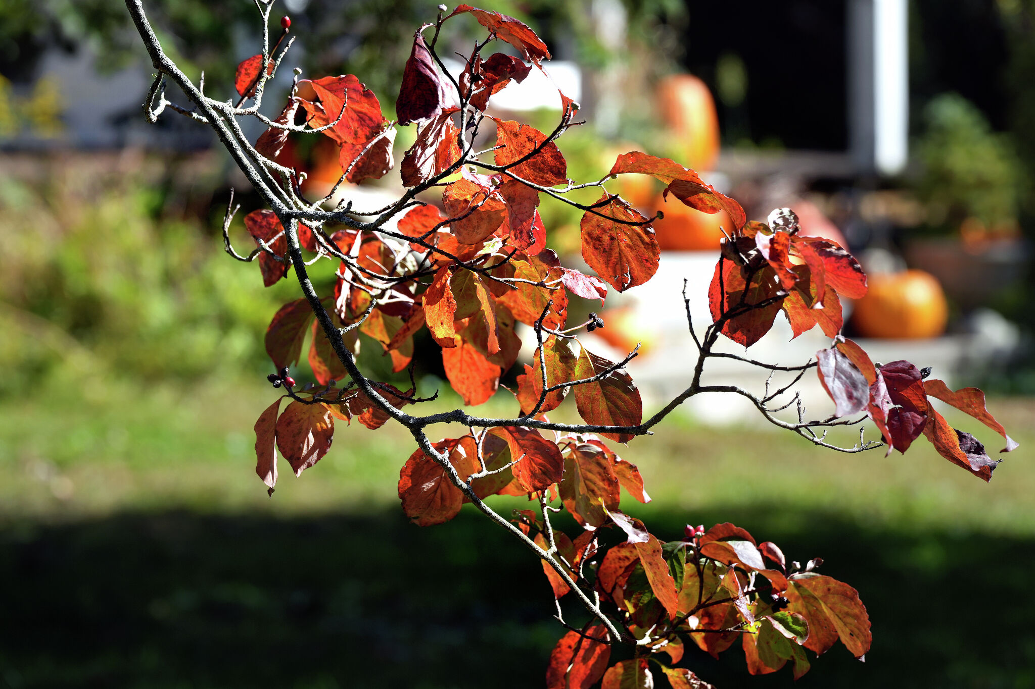 A warmer Tuesday in Connecticut with a mix of sun and clouds. Here's when the chill sets in again.
Leaves begin to change color at a home on Sport Hill Road in Easton on Oct. 7, 2026. Another day of seasonable fall weather is in store for Connecticut Tuesday — but expect it to be a little cloudier and breezier than…
-
 First Alert Weather at 4:45 a.m. 10/20
WCAX First Alert Weather at 4:45 a.m. 10/20 Nearly 280 pounds of cocaine seized at Ambassador Bridge Calls to protect homeless community in Milford after attacks Michigan to release thousands of pheasants for fall…
-
 Brisk start, highs in 60s Tuesday
KCRG Brisk start, highs in 60s Tuesday Nearly 280 pounds of cocaine seized at Ambassador Bridge Calls to protect homeless community in Milford after attacks Michigan to release thousands of pheasants for fall, winter…
-
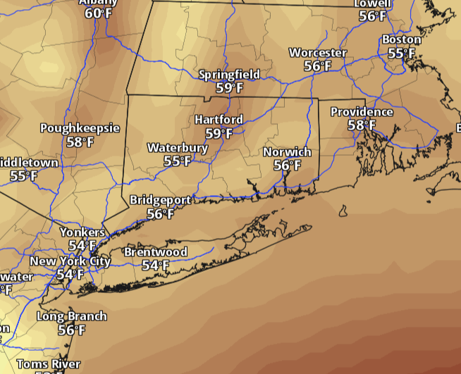 Connecticut warms back toward 60 Monday after weekend chill. Here's when rain returns.
Connecticut starts the week with a chilly morning and plenty of sunshine, but the weekend’s deep chill is easing. Temperatures will climb back toward 60 degrees Monday, with lighter winds and dry weather statewide. The…
-
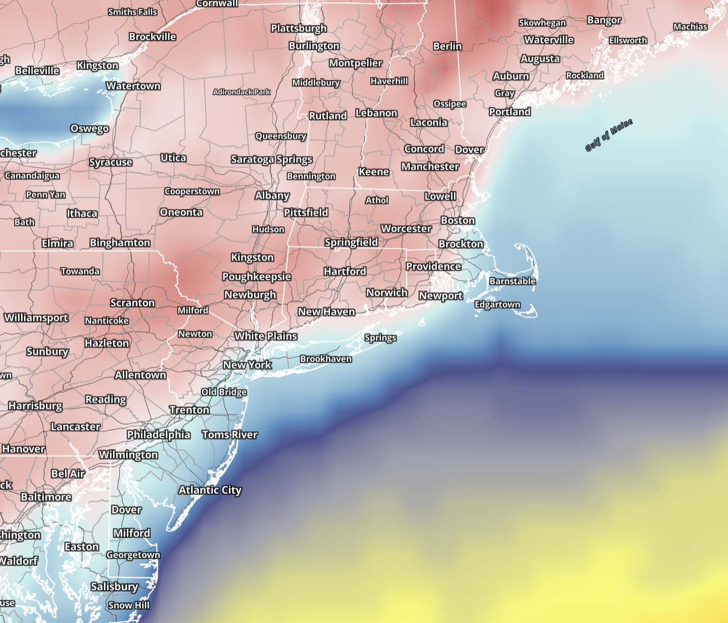 Connecticut wakes to 20s and 30s Sunday before sunshine pushes highs into 50s. Here's the forecast.
Saturday brought the coldest air of the season so far, and Sunday keeps the autumn chill in place across Connecticut. Sunshine returns statewide, winds ease considerably and temperatures make a modest recovery, although…
-
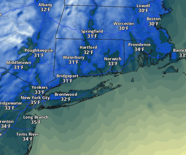 Saturday will feel more like November in Connecticut as temperatures dive. Here's how cold it'll be.
The change will be hard to miss Saturday morning. Temperatures will tumble behind Friday’s cold front, with readings starting in the 30s and 40s across much of Connecticut. A few lingering showers are possible early…
-
 Smugglers' Notch Road to close for the weekend as winter weather approaches
With temperatures expected to drop below freezing this weekend, VTrans is taking precautions by closing a stretch of Route 108 between Stowe and Cambridge. The road is known for its steep grades and narrow turns, which…
-
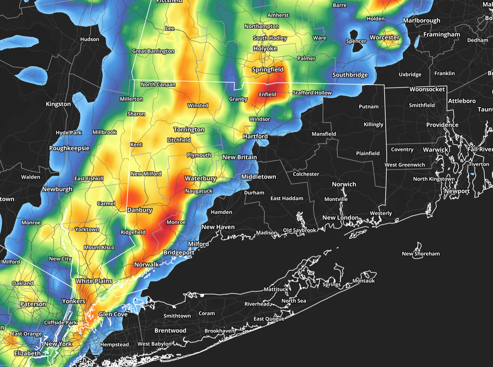 A warm, stormy Friday in Connecticut before big temperature drop arrives
Friday will start on a damp note across Connecticut, with showers likely during the morning and a few pockets of fog possible. The rain should be most widespread early, making for a wet morning commute, but there may be…
Air quality
Air quality is satisfactory, and air pollution poses little or no risk.
Forecast
- FriGood (33)
Waterbury, CT reporting area · 1 hr ago. Data from AirNow (EPA and its state, local and tribal partners); preliminary and subject to change.
Sun & moon
Almanac
MonthlyBakersville, records since 1990. Normals 1991–2020. Data from NOAA's Regional Climate Centers (ACIS).
Nearby
- Bridgeport 44 km
- New Haven 29 km
- Hartford 37 km
- Norwalk 58 km
- Danbury 39 km
- East Norwalk 58 km
- New Britain 24 km
- West Hartford 34 km
- Bristol 15 km
- Meriden 19 km
- Hamden 21 km
- Fairfield 50 km
Forecasters' discussion
From the National Weather Service office in OKX, issued 2 hrs ago
What Has Changed
Small craft advisories have expanded in area and have been extended in time into tonight, Friday and Friday night. Coastal flood statement for Southern Nassau for early Friday morning with brief minor coastal flooding.
Key Messages
1) Dry conditions and gradually warming daytime temperatures are expected Friday through Monday. Dry conditions continue through much of next week.
2) For Friday night into the weekend, locations within our region (mainly across interior NE NJ, the Lower Hudson Valley, Southern CT, parts of Eastern Suffolk NY) there will be frost potential for late night and early morning.
3) Minor coastal flooding possible in back bays of Nassau County NY for the morning high tide. For subsequent high tide cycles through early Saturday, additional minor coastal flooding possible for the same location.
Key Message 1
Daytime high temperatures trend from below normal Friday to near normal Saturday and then more above normal Sunday and Monday. Dry conditions are forecast to prevail.
Mid levels from numerical weather prediction models indicate rising heights into the weekend. Trough exits east of the Canadian Maritimes with ridge moving in from the west. The ridging weakens late this weekend into early next week. At the surface, the low pressure associated with Josephine moves well out into the Northern Atlantic and east of Canadian Maritimes through Friday as high pressure builds in from the north across our local region.
Strong surface high pressure will be the main feature heading into the weekend with prevailing dry conditions. The pressure gradient will gradually weaken allowing for lighter winds. This will further allow for greater daytime insolation and greater nighttime radiational cooling with a more vast range in temperature between max and min.
Surface high pressure weakens and shifts farther south and west Sunday night into early next week. Dry conditions prevail through this weekend and into next week despite a cold front moving across late Monday into Monday night. Temperatures warm up for daytime highs this weekend and into early next week. Warmest day looks to be Monday with models showing relatively highest 850mb temperatures near 11 to 13 degrees C. Some locations are forecast to reach near 70 degrees Fahrenheit for Monday's highs. That is the warmest day of the forecast period through next week.
.KEY MESSAGE 2... With more radiational cooling each night, temperatures in outlying areas and rural sections will drop further.
Frost is expected to develop in these areas, mainly across the northern half of the forecast area. For tonight, patchy frost is forecast across parts of the interior and will be limited in spatial extent due to winds staying up in the boundary layer. Lows tonight range from mid 30s to upper 40s for much of the area.
Outlook For 00z Saturday Through Tuesday
Friday night through Tuesday: VFR.
Detailed information, including hourly TAF wind component forecasts, can be found at: https:/www.weather.gov/zny/n90
Forecasts, observations and alerts in the United States come from the National Weather Service (NOAA); radar from NOAA's Multi-Radar Multi-Sensor system; satellite imagery from NASA's Global Imagery Browse Services (GIBS) and NOAA's GOES satellites; the map from the U.S. Geological Survey's National Map; air quality from AirNow (EPA and its partners); hurricane information from the National Hurricane Center; climate normals and records from NOAA's Regional Climate Centers (ACIS). Forecasts outside the United States and the UV index: MET Norway (CC BY 4.0); observations outside the U.S.: airport reports via NOAA's Aviation Weather Center. Place names: GeoNames (CC BY 4.0). Data are copied on a schedule and may lag the sources; for warnings that affect your safety, follow your local National Weather Service office and emergency officials. Weather news is drawn from the 4Search index and reflects what the press published. Terms of use.