Install
Barre, VT 05641 Weather
Current conditions
Observed at Barre / Montpelier, Knapp State Airport · 33 min ago
Forecast
10-day-
Today
Sunny, with a high near 60. North wind 3 to 8 mph.
-
Tonight
Mostly clear, with a low around 31. North wind 0 to 5 mph.
-
Wednesday
Sunny, with a high near 60. Wind around 0 mph.
National Weather Service forecast updated 12 hrs ago.
Hourly
Hourly forecast- Now58°
- 3 PM58°
- 4 PM60°
- 5 PM56°
- 6 PM52°
- 7 PM48°
- 8 PM45°
- 9 PM43°
- 10 PM41°
- 11 PM38°
- Wed12 AM37°
- 1 AM36°
- 2 AM35°
- 3 AM34°
- 4 AM33°
- 5 AM32°
- 6 AM32°
- 7 AM32°
- 8 AM31°
- 9 AM35°
- 10 AM42°
- 11 AM48°
- 12 PM51°
- 1 PM55°
10-day forecast
Details- TodayOct 20Sunny31°60°
- WedOct 21Sunny32°60°
- ThuOct 22Mostly Sunny32°57°
- FriOct 23Mostly Sunny29°51°
- SatOct 24Sunny32°53°
- SunOct 25Sunny38°61°
- MonOct 26Mostly Sunny13%38°62°
- TueOct 27Partly cloudy31°48°
- WedOct 28Partly cloudy29°48°
- ThuOct 29Partly cloudy37°55°
Days after the National Weather Service's seven are MET Norway's outlook, a computer model with no forecaster's review.
Radar
Full mapWeather news near Barre
More weather news-
 Trudy strengthens to a hurricane as system nears Mexico’s coast with major storm expected
WCAX Trudy was located about 300 miles (480 kilometers) southwest of Acapulco, Mexico, with maximum sustained winds of 75 mph (120 kph), according to the U.S. National Hurricane Center in Miami. The hurricane was moving…
-
 PHOTOS: First snowflakes fly around Vermont
VTDigger Member-supported journalism. Informing and engaging Vermont. This year, VTDigger is teaming up with Henry’s Weather Channel to help answer the annual question of when and where peak foliage will make its…
-
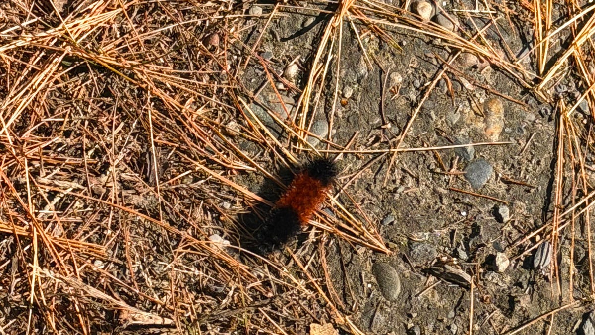 A Vermont Woolly Bear Calls for a Mild Winter. NOAA Mostly Agrees.
The federal government released its official winter forecast on Thursday. Compass Vermont got a second opinion from a caterpillar. We found him crossing a patch of pine needles on a Vermont access road this week. He’s a…
-
 After a stormy week, cold arrives and much of Vermont passes peak foliage
This year, VTDigger is teaming up with Henry’s Weather Channel to help answer the annual question of when and where peak foliage will make its appearance across the state. After a stormy week, trees have shed their…
-
 Near-record cold with wintry conditions across Vermont Friday into Saturday
BURLINGTON, Vt. (WCAX) - This upcoming weekend will be our first widespread taste of winter across northern New York and Vermont. Mount Mansfield picked up the season’s first flakes last week, but accumulating snow has…
-
 Record rainfall soaks parts of northern New York and Vermont Tuesday
BURLINGTON, Vt. (WCAX) - While recent memory reminds us that October can bring crisp dry fall days, Tuesday deviated with widespread steady rain across northern New York and Vermont. Rainfall was not just soggy — it was…
Air quality
Forecast
- TueGood (40)
- WedGood (45)
Vermont Mountain Valley Locations, VT reporting area. Data from AirNow (EPA and its state, local and tribal partners); preliminary and subject to change.
Sun & moon
Almanac
MonthlyMontpelier - Edward F. Knapp State Airport, records since 1948. Normals 1991–2020. Data from NOAA's Regional Climate Centers (ACIS).
Nearby
- Essex Junction 59 km
- Hanover 57 km
- Williston 53 km
- Montpelier 10 km
- St Johnsbury 46 km
- Middlebury (village) 58 km
- Saint Johnsbury 46 km
- Morristown 42 km
- Lyndon 52 km
- Haverhill 39 km
- Hinesburg 51 km
- Littleton 59 km
Forecasters' discussion
From the National Weather Service office in BTV, issued 7 hrs ago
What Has Changed
As of 316 AM EDT Tuesday...
No significant changes to the current forecast.
Key Messages
As of 316 AM EDT Tuesday...
1. High pressure will keep conditions dry with seasonable temperatures through late week.
2. The extended forecast continues to be very quiet with seasonable temperatures and dry conditions prevail through next weekend.
Discussion
As of 316 AM EDT Tuesday...
KEY MESSAGE 1: The broad surface high pressure centered over southern Ontario today will gradually shift eastward through the end of the week. An anomalously dry air mass and subsidence under the ridging will keep skies mainly clear despite a weak front sinking southward this morning. By this afternoon, northerly flow will increase slightly, and temperatures will top out in the upper 50s to low 60s. Tonight will be an ideal radiational cooling night, with the dry air mass remaining overhead and winds becoming near calm toward sunrise. Lows will range from the low to mid 20s in sheltered mountain valleys to the low 30s elsewhere.
The quiet stretch of weather will continue Wednesday through Thursday, with highs again forecast in the 50s to low 60s and lows in the 20s to 30s. A weak boundary will move through Thursday, but given the dry air in place, the impacts of the frontal passage will be minimal. A few sprinkles may materialize, followed by increasing northerly flow behind the front that will bring in a cooler air mass to close out the work week. Breezy north winds can be expected Thursday through Friday morning, especially channeled down the Champlain Valley and over mountain tops. High temperatures Friday will be a few degrees cooler than the previous days, ranging from the mid 40s to low 50s.
KEY MESSAGE 2: A 1034mb high pres wl be building into our region from central Canada late Friday into the upcoming weekend. This wl produce a dry and cool northerly flow behind our weak cold frnt for Friday night into Saturday. Progged 850mb temps drop btwn -1C and - 3C but start to modify quickly by Saturday. The building mid/upper lvl ridge and associated subsidence wl result in plenty of sunshine this weekend with near seasonable temps. Expect a large diurnal swing from cool night lows in the mid 20s to mid 30s to daily highs in the mid 50s to lower 60s. Progged PW values are btwn 0.15 and 0.25", indicating how dry the atmospheric column wl be this upcoming weekend. The mid/upper lvl ridge slowly breaks down by next Tuesday with approaching weak sfc boundary and a slight increase in moisture profiles. Did note the latest WPC grids has 10-20% pops for this time frame. In addition, some increase southerly flow ahead of approaching boundary is possible, which could increase fire weather concerns early next week, given recent dry spell.
Aviation
Through 12Z Wednesday...VFR conditions prevail today as surface high pres builds into our region from central Canada. Early morning Fog Product is showing a pocket of fog near MPV, which may impact this taf site with brief IFR thru 13z this morning. The highest probability of additional fog/mist with IFR conditions tonight will be at EFK/MPV after 08z. Still some uncertainty on areal coverage due to very dry air near the surface, but winds aloft will be much lighter.
Outlook...
Wednesday: VFR. NO SIG WX. Wednesday Night: VFR. NO SIG WX. Thursday: VFR. NO SIG WX. Thursday Night: VFR. NO SIG WX. Friday: VFR. NO SIG WX. Friday Night: VFR. NO SIG WX. Saturday: VFR. NO SIG WX.
Forecasts, observations and alerts in the United States come from the National Weather Service (NOAA); radar from NOAA's Multi-Radar Multi-Sensor system; satellite imagery from NASA's Global Imagery Browse Services (GIBS) and NOAA's GOES satellites; the map from the U.S. Geological Survey's National Map; air quality from AirNow (EPA and its partners); hurricane information from the National Hurricane Center; climate normals and records from NOAA's Regional Climate Centers (ACIS). Forecasts outside the United States and the UV index: MET Norway (CC BY 4.0); observations outside the U.S.: airport reports via NOAA's Aviation Weather Center. Place names: GeoNames (CC BY 4.0). Data are copied on a schedule and may lag the sources; for warnings that affect your safety, follow your local National Weather Service office and emergency officials. Weather news is drawn from the 4Search index and reflects what the press published. Terms of use.