Install
San Francisco, Central Visayas, Philippines Weather
Current conditions
Forecast for this hour (no station report in the last two hours)
Forecast
10-day-
Monday
Light showers. High 30°. Precipitation 1.0 mm for the day.
-
Monday Night
Light showers. Low 28°. Precipitation 1.0 mm for the day.
-
Tuesday
Partly cloudy. High 30°. Precipitation 0.6 mm for the day.
MET Norway forecast updated 1 day ago.
Hourly
Hourly forecast- Now29°
- 10:0030°0.2
- 11:0030°
- 12:0030°
- 13:0030°
- 14:0030°0.2
- 15:0030°
- 16:0030°
- 17:0029°
- 18:0029°
- 19:0029°0.5
- 20:0029°
- 21:0029°
- 22:0029°
- 23:0028°
- Tue00:0028°
- 01:0028°
- 02:0028°
- 03:0028°
- 04:0028°
- 05:0027°
- 06:0027°
- 07:0028°
Daily forecast
DetailsRadar
Full mapWeather news near San Francisco
More weather news- Rain Taps Out as Sunshine Takes Over San Francisco Weekend
San Francisco is starting Friday in the upper 50s, with the recent rain event fading out and a mostly sunny afternoon ahead. Temperatures should top out near 69 degrees, with the city settling into a dry, brighter…
- Soggy San Francisco Commute Gives Way to Sunny Weekend Warmup
San Francisco is in for a damp Thursday, with light rain likely through the afternoon before the clouds begin to break. The city should top out near 63 degrees, while wet pavement, lower visibility and occasional breezy…
-
 Sunny weekend ahead following explosive end of rain
The last of the rain from a light mid-week storm came like the finale of a fireworks show, with many explosive downpours in isolated places coming all at once and then finishing almost as suddenly as they began. “We did…
-
 Rotating storm brings rain, thousands of lightning strikes to NorCal
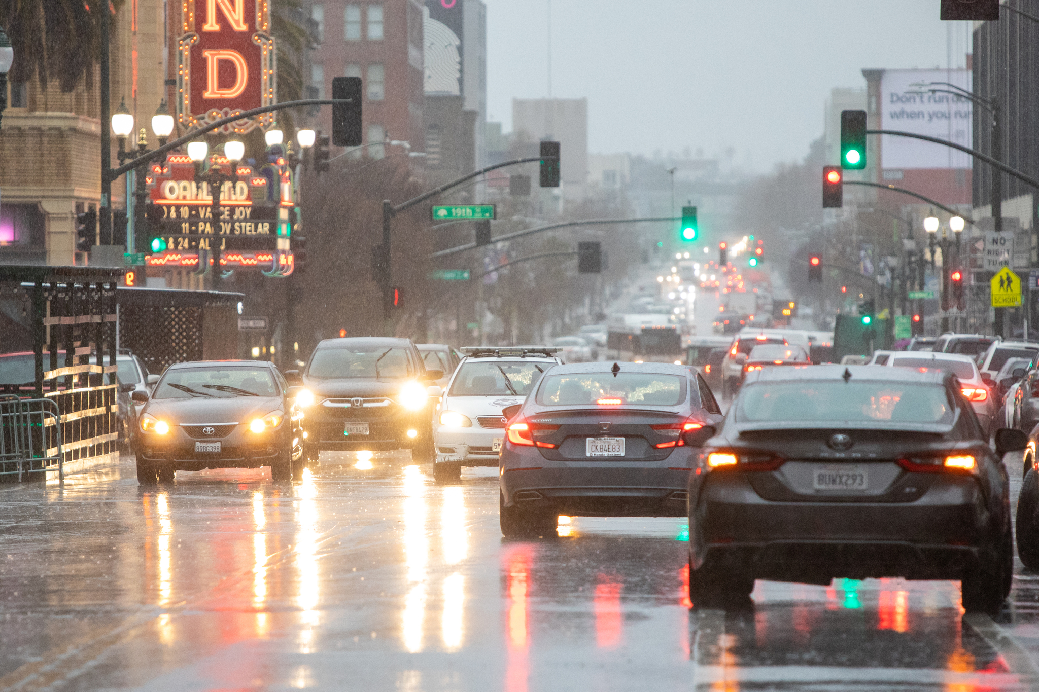
FILE: Vehicles drive during a heavy rainfall down Telegraph Avenue in Oakland, Calif., on March 9, 2023. LATEST Oct. 22, 12:10 p.m. A storm system churning above the Bay Area brought a significant amount of lightning to…
- Rotating storm keeps rain, possible thunderstorms in Bay Area
FILE: Vehicles drive during a heavy rainfall down Telegraph Avenue in Oakland, Calif., on March 9, 2023. A low-pressure system is pulling a blanket of wet weather over the Bay Area on Thursday, increasing the risk of…
- Showers Hit Golden Gate City Wednesday Before Sunny Weekend Warmup
San Francisco starts Wednesday under mostly cloudy skies, with temperatures climbing into the upper 60s before rain showers become possible later in the day. The unsettled stretch continues into Thursday, but a sunny…
-
 Weather Forecast For The San Francisco Bay Area
SFGATE Daytime highs will be mostly in the low to high 60s on the coast, mid 60s to low 70s around the bay, and high 60s to low 70s inland. Overnight lows will be in the low to mid 50s. Forecasters expect rain to spread…
-
 Los Angeles braces as super rare tornado threat issued for SoCal
Tornadoes in Southern California? Apparently, that’s a real possibility this week after weather experts warned of the first significant storm this season amid a strong El Niño. A heavy storm system is expected to bump…
-
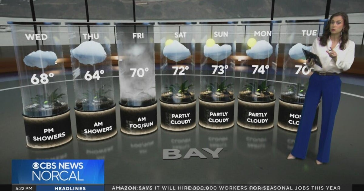 Tuesday evening First Alert weather forecast - 10/20/26
CBS News Tuesday evening First Alert weather forecast - 10/20/26 Becerra, Hilton campaign for California governor in Bay Area 2 weeks out from Election Day Oakland considers raising nuisance property fines to $10,000 a…
-
 California's rainy season to arrive with flood threat, tornado risk and Sierra snow
California's wet season is starting off with a bang. The first significant storm of the season is forecast to bring heavy rain to vulnerable burn scars near Big Sur, coastal tornado risk to the Los Angeles area, and a…
Sun & moon
Nearby
Forecasts, observations and alerts in the United States come from the National Weather Service (NOAA); radar from NOAA's Multi-Radar Multi-Sensor system; satellite imagery from NASA's Global Imagery Browse Services (GIBS) and NOAA's GOES satellites; the map from the U.S. Geological Survey's National Map; air quality from AirNow (EPA and its partners); hurricane information from the National Hurricane Center; climate normals and records from NOAA's Regional Climate Centers (ACIS). Forecasts outside the United States and the UV index: MET Norway (CC BY 4.0); observations outside the U.S.: airport reports via NOAA's Aviation Weather Center. Place names: GeoNames (CC BY 4.0). Data are copied on a schedule and may lag the sources; for warnings that affect your safety, follow your local National Weather Service office and emergency officials. Weather news is drawn from the 4Search index and reflects what the press published. Terms of use. How to use Weather