Install
Inazawa, Aichi, Japan Weather
Current conditions
Forecast for this hour (no station report in the last two hours)
Forecast
10-day-
Wednesday
Heavy showers. High 28°. Precipitation 7.6 mm for the day.
-
Wednesday Night
Heavy rain. Low 19°. Precipitation 7.6 mm for the day.
-
Thursday
Partly cloudy. High 22°.
MET Norway forecast updated 12 hrs ago.
Hourly
Hourly forecast- Now27°
- 12:0027°
- 13:0028°0.2
- 14:0028°0.6
- 15:0027°1.2
- 16:0024°1.0
- 17:0023°0.4
- 18:0022°1.2
- 19:0021°1.6
- 20:0020°0.6
- 21:0020°0.4
- 22:0019°0.3
- 23:0019°
- Thu00:0019°
- 01:0019°
- 02:0019°
- 03:0018°
- 04:0017°
- 05:0017°
- 06:0016°
- 07:0016°
- 08:0018°
- 09:0019°
- 10:0020°
Daily forecast
DetailsRadar
Full mapWeather news in Japan
More weather news- Japan Declares Latest El Niño the Strongest on Record as Global Experts Debate Pacific Warming Metrics
Japan Meteorological Agency (JMA) recently confirmed that the current El Niño warming phenomenon is the most severe one in the history of monitoring dating back to 1949. According to JMA statistics, water temperatures…
-
 Kauai Surf Forecast for October 20, 2026
Kauai Now Kauai Surf Forecast for October 20, 2026 Declining north-northwest and west-northwest swells will keep small to tiny surf in place over the next few days before a small northwest swell gives a slight bump to…
-
 Hawaii County Surf Forecast for October 20, 2026
Big Island Now Hawaii County Surf Forecast for October 20, 2026 Forecast for Big Island Windward and Southeast Forecast for Big Island Leeward Declining north-northwest and west-northwest swells will keep small to tiny…
- Hokkaido Hits Minus 4.3 Degrees as Autumn Chill Spreads Across Japan
HOKKAIDO - Temperatures fell to their lowest levels of the season across much of Japan on the morning of October 18, with Rikubetsu in Hokkaido recording minus 4.3 degrees Celsius, the country's lowest temperature so…
-
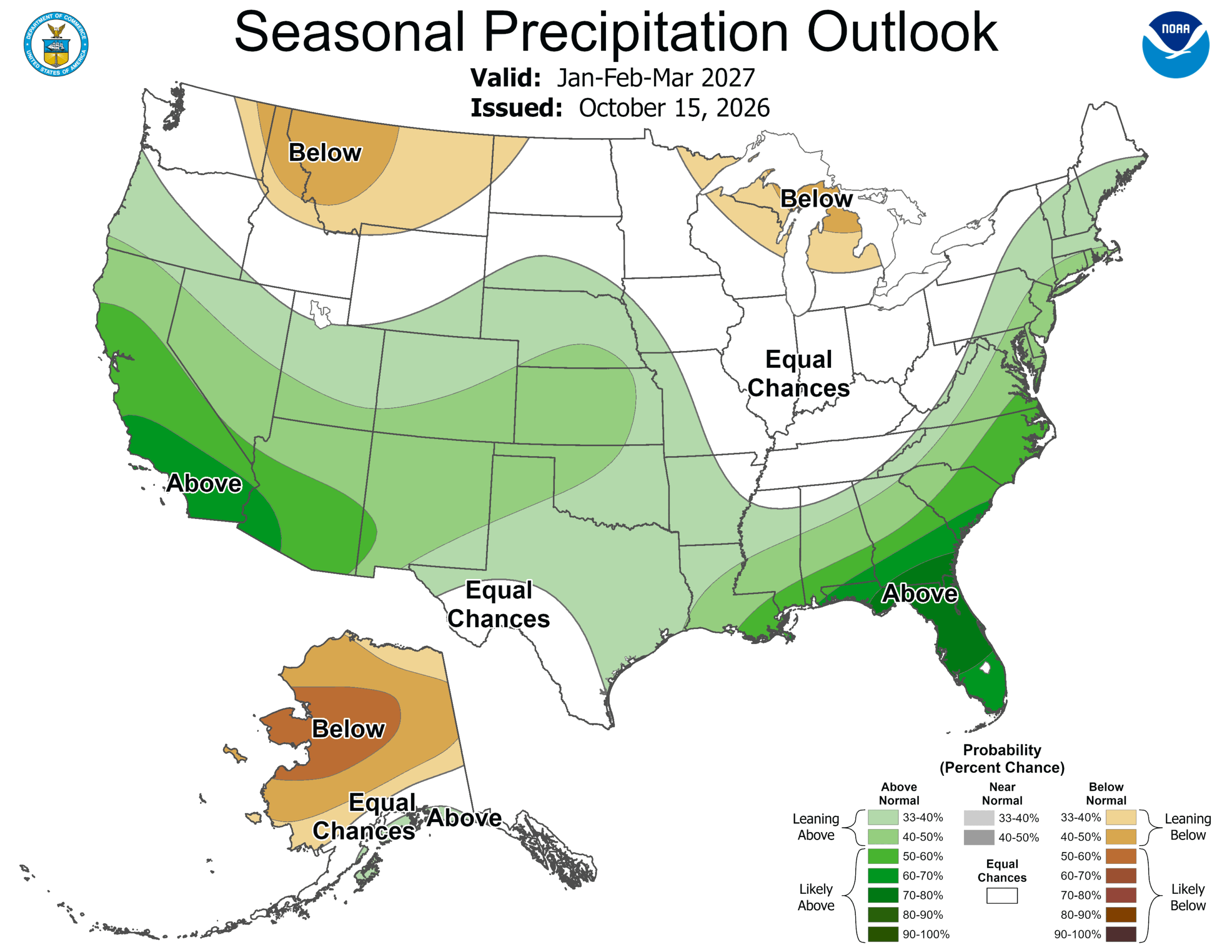 ‘Weather Whiplash’ Bringing Back Rain and Snow to California
A “weather whiplash” will continue taking Californians for a ride this week, as last week’s high temperatures and blustery winds give way to clouds, rain and snow in the mountains. This week, the stormy weather returns…
-
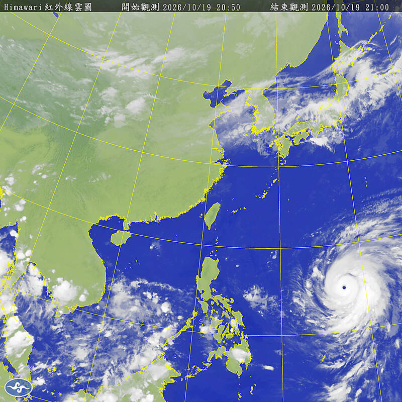 Typhoon Champi to turn away from Taiwan, will still bring heavy rain
Typhoon Champi will turn northward earlier than previously forecast, sparing Taiwan a direct hit but still bringing heavy rain to the north of the country on Friday and Saturday, according to the Central Weather…
- Honolulu Weather Forecast: Gusty Trades And Passing Showers
Honolulu is lined up for a mostly sunny Sunday with a high near 86 degrees, but the trade winds will make sure the day does not feel completely sleepy. East-northeast winds of 16 to 21 mph could gust as high as 29 mph…
-
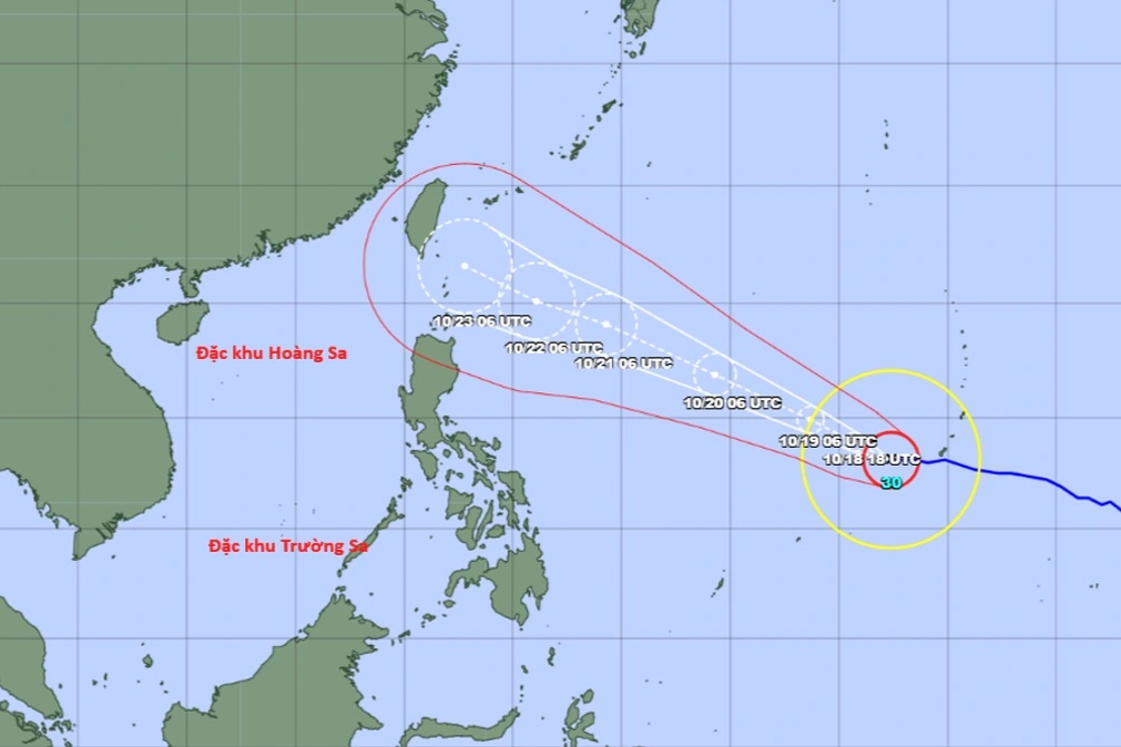 Super typhoon Champi forecast to hit Taiwan, China around October 23
The National Centre for Hydro-Meteorological Forecasting said on the afternoon of October 18 that Champi was a powerful storm over the north-western Pacific and the 30th storm to form in the region this year. Early that…
-
 Fiji moves to lead Pacific in weather and climate forecasting
Groundbreaking ceremony of a new regional centre focused on improving meteorological safety and disaster risk reduction in the Pacific. The Fiji Meteorological and Hydrological Service is aiming to become a regional…
- Super typhoon Champi, with gusts exceeding level 17, has a 10-20% chance of entering the South China Sea.
VTV.vn - Super typhoon Champi, with winds reaching level 16 and gusts exceeding level 17, is moving towards Taiwan (China). However, it is predicted that Champi is unlikely to enter the South China Sea. According to…
Sun & moon
Nearby
Forecasts, observations and alerts in the United States come from the National Weather Service (NOAA); radar from NOAA's Multi-Radar Multi-Sensor system; satellite imagery from NASA's Global Imagery Browse Services (GIBS) and NOAA's GOES satellites; the map from the U.S. Geological Survey's National Map; air quality from AirNow (EPA and its partners); hurricane information from the National Hurricane Center; climate normals and records from NOAA's Regional Climate Centers (ACIS). Forecasts outside the United States and the UV index: MET Norway (CC BY 4.0); observations outside the U.S.: airport reports via NOAA's Aviation Weather Center. Place names: GeoNames (CC BY 4.0). Data are copied on a schedule and may lag the sources; for warnings that affect your safety, follow your local National Weather Service office and emergency officials. Weather news is drawn from the 4Search index and reflects what the press published. Terms of use.