Install
Okazaki, Aichi, Japan Weather
Current conditions
Observed at Nagoya/Chubu Intl · 47 min ago
Forecast
10-day-
Tuesday Night
Light showers. Low 22°. Precipitation 0.4 mm for the day.
-
Wednesday
Showers. High 27°. Precipitation 3.0 mm for the day.
-
Wednesday Night
Rain. Low 18°. Precipitation 3.0 mm for the day.
MET Norway forecast updated 1 hr ago.
Hourly
Hourly forecast- Now22°0.2
- 21:0022°0.2
- 22:0022°
- 23:0022°
- Wed00:0022°
- 01:0022°
- 02:0023°
- 03:0023°
- 04:0023°
- 05:0022°
- 06:0022°
- 07:0023°
- 08:0024°
- 09:0025°
- 10:0026°
- 11:0027°
- 12:0027°
- 13:0027°
- 14:0027°
- 15:0027°
- 16:0026°0.8
- 17:0023°0.6
- 18:0021°0.8
- 19:0021°
10-day forecast
DetailsRadar
Full mapWeather news near Okazaki
More weather news- Storm Team 10: A Typical October Weekend
WTHI-TV Saturday will begin with a cloudy sky, but the clouds will gradually give way to sunshine. Highs in the upper 50s. Saturday night will be clear and cold, with widespread frost developing. Low in the low 30s…
-
 Color The Weather 10-16-26
WTVY (WTVY) - Color The Weather 10-16-26 Download the WTVY News4 app to get alerts and stories the moment they are published. Available for FREE in the Apple App Store and the Google Play Store! Friday Night Football…
-
 Cold Front Alert: A weekend cold front will bring cool and breezy conditions to Central Florida.
WKMG Cold Front Alert: A weekend cold front will bring cool and breezy conditions to Central Florida. Ex-US Sen. Mel Martinez, a Republican, endorses Democrat Bale Dalton in House District 7 race MICHELLE PARKER CASE…
-
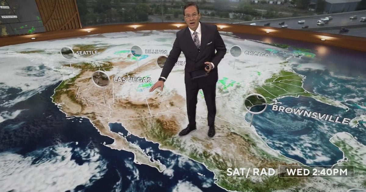 More rain and snow into Thursday morning with Denver's first freeze on the way
CBS News More rain and snow into Thursday morning with Denver's first freeze on the way Proposition 134 & 135 address rights of transgender teens in Colorado Republican Ken Buck endorses Democrat Phil Weiser for…
-
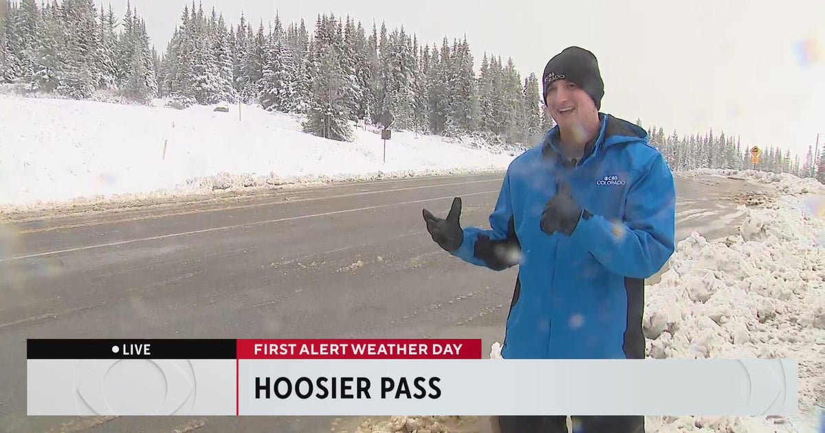 Wintery weather comes to the Colorado High Country
CBS News Wintery weather comes to the Colorado High Country Aurora Water managers welcome rain, but more importantly snow in the mountains 20th anniversary production of "Jersey Boys" headed to Denver Colorado nonprofit…
-
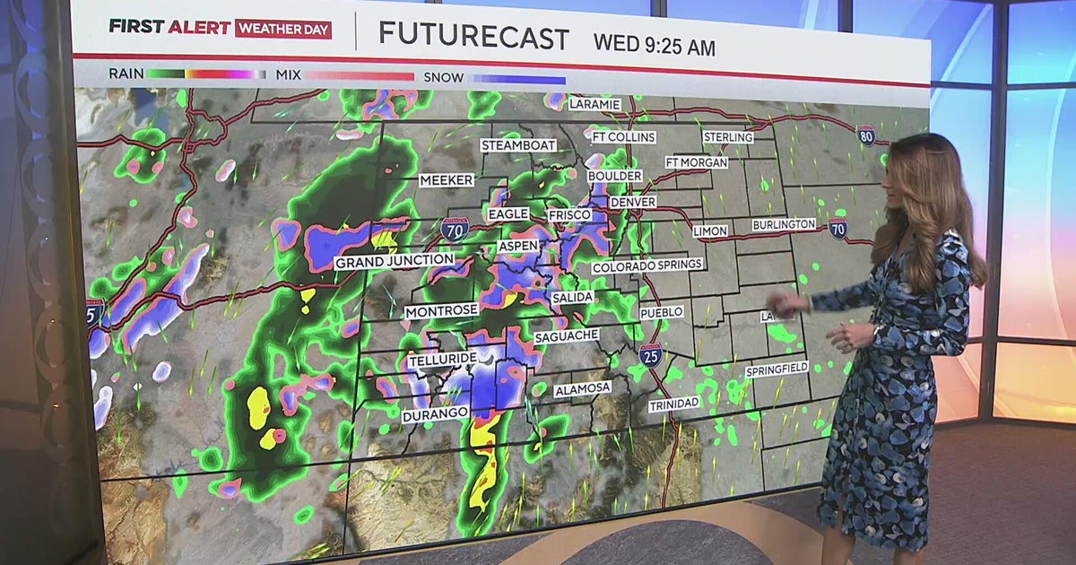 Measurable rain for the Denver metro, with some heavy snow in the mountains
CBS News Measurable rain for the Denver metro, with some heavy snow in the mountains Medina Alert issued for blue 2010 Toyota Prius after driver strikes pedestrian, leaves scene Man accused of shooting teen suspected of…
- Japan Declares Latest El Niño the Strongest on Record as Global Experts Debate Pacific Warming Metrics
Japan Meteorological Agency (JMA) recently confirmed that the current El Niño warming phenomenon is the most severe one in the history of monitoring dating back to 1949. According to JMA statistics, water temperatures…
- Hokkaido Hits Minus 4.3 Degrees as Autumn Chill Spreads Across Japan
HOKKAIDO - Temperatures fell to their lowest levels of the season across much of Japan on the morning of October 18, with Rikubetsu in Hokkaido recording minus 4.3 degrees Celsius, the country's lowest temperature so…
-
 Kauai Surf Forecast for October 20, 2026
Kauai Now Kauai Surf Forecast for October 20, 2026 Declining north-northwest and west-northwest swells will keep small to tiny surf in place over the next few days before a small northwest swell gives a slight bump to…
-
 Hawaii County Surf Forecast for October 20, 2026
Big Island Now Hawaii County Surf Forecast for October 20, 2026 Forecast for Big Island Windward and Southeast Forecast for Big Island Leeward Declining north-northwest and west-northwest swells will keep small to tiny…
Sun & moon
Nearby
Forecasts, observations and alerts in the United States come from the National Weather Service (NOAA); radar from NOAA's Multi-Radar Multi-Sensor system; satellite imagery from NASA's Global Imagery Browse Services (GIBS) and NOAA's GOES satellites; the map from the U.S. Geological Survey's National Map; air quality from AirNow (EPA and its partners); hurricane information from the National Hurricane Center; climate normals and records from NOAA's Regional Climate Centers (ACIS). Forecasts outside the United States and the UV index: MET Norway (CC BY 4.0); observations outside the U.S.: airport reports via NOAA's Aviation Weather Center. Place names: GeoNames (CC BY 4.0). Data are copied on a schedule and may lag the sources; for warnings that affect your safety, follow your local National Weather Service office and emergency officials. Weather news is drawn from the 4Search index and reflects what the press published. Terms of use.