Install
Bhavāni, Tamil Nadu, India Weather
Current conditions
Forecast for this hour (no station report in the last two hours)
Forecast
10-day-
Saturday
Heavy showers. High 31°. Precipitation 26.1 mm for the day.
-
Saturday Night
Heavy rain. Low 23°. Precipitation 26.1 mm for the day.
-
Sunday
Heavy rain. High 27°. Precipitation 42.6 mm for the day.
MET Norway forecast updated 8 hrs ago.
Hourly
Hourly forecast- Now24°
- 07:3025°
- 08:3026°
- 09:3028°
- 10:3028°
- 11:3029°
- 12:3030°
- 13:3031°
- 14:3031°
- 15:3031°6.0
- 16:3026°3.6
- 17:3026°1.7
- 18:3026°0.4
- 19:3025°3.1
- 20:3025°3.7
- 21:3024°3.1
- 22:3024°0.6
- 23:3024°1.1
- Sun00:3024°0.8
- 01:3024°0.6
- 02:3024°1.0
- 03:3024°
- 04:3024°0.3
- 05:3024°0.4
Daily forecast
DetailsRadar
Full mapWeather news near Bhavāni
More weather news-
 Canton weather forecast calls for warm days and cool nights
Fall will earn its reputation for warm days and cool nights this week in Northeast Ohio. Daytime highs are expected to be in the 60s in the Canton-Stark County area, and nighttime lows in the 30s and 40s. Winds are…
-
 Tamil Nadu: Orange Alert Issued For Chennai, Three Districts Ahead Of Heavy Rain Forecast
Chennai: An orange alert has been issued for Chennai, Tiruchirappalli, Coimbatore and the Nilgiris on Monday, with the weather department forecasting heavy to very heavy rainfall in the four districts amid widespread…
-
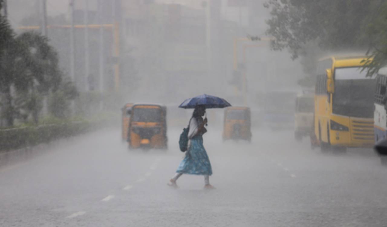 Tamil Nadu weather alert: Orange alert for Chennai, Coimbatore and two other districts
Tamil Nadu is bracing for widespread rainfall, with an orange alert issued for Chennai, Tiruchirappalli, Coimbatore and the Nilgiris on Monday. Tirunelveli and Madurai are under an orange alert for Tuesday, while heavy…
-
 Chennai hit by cloudburst-like rain, 1st 300 mm event of northeast monsoon
CHENNAI: North Chennai bore the brunt of an intense spell of rain on Saturday, with several neighbourhoods receiving over 150 mm in a few hours and two rainfall stations crossing the 300 mm mark since the onset of the…
- Chengalpattu Orange Alert as Tamil Nadu Rain Warning Expands
Chengalpattu Orange Alert as Tamil Nadu Rain Intensifies Urban Acres Chengalpattu Orange Alert as Tamil Nadu Rain Warning Expands Chengalpattu has been placed under an orange alert for very heavy rain, while the Chennai…
-
 India Sees Weather Shift As Mercury Drops In Northern States, Northeast Monsoon Brings Rain In South
Published : October 17, 2026 at 12:03 PM IST Northeast Monsoon Brings Rain To Southern States The northeast monsoon has brought rainfall to parts of southern India, including Tamil Nadu, Kerala and Karnataka. Several…
-
 Orange alert in six Tamil Nadu districts as Northeast Monsoon brings widespread rain
Home » India » Orange alert in six Tamil Nadu districts as Northeast Monsoon brings widespread rain On: Saturday, October 17, 2026 9:54 AM Chennai, Oct 17 (IANS) Six districts in Tamil Nadu have been placed under an…
-
 FL1 FORECAST: Blustery Saturday turns sunny before widespread overnight freeze
October 17, 2026 3:37 AM / Staff Report A blustery and unusually cold start to the weekend will give way to increasing sunshine across the Finger Lakes and Central New York on Saturday, but a widespread freeze is…
- Orange Alert Issued for Six Tamil Nadu Districts Amid Northeast Monsoon
An orange alert has been issued for six districts in Tamil Nadu due to anticipated heavy rainfall from the northeast monsoon. Chennai, October 17 (Udaipur Kiran) : An orange alert has been declared for six districts in…
-
 Tamil Nadu weather today: Heavy rain, thunderstorms likely across several districts on Saturday
Tamil Nadu is likely to experience widespread rain and thunderstorms on Saturday, October 17, as the northeast monsoon remains active over the state. The India Meteorological Department (IMD) has warned of heavy to very…
Sun & moon
Nearby
- Tiruppur 51 km
- Salem 57 km
- Erode 12 km
- Kumarapalayam 3 km
- Tiruchengode 24 km
- Velampālaiyam 53 km
- Vīrappanchathiram 11 km
- Kāsipālaiyam 14 km
- Nallūr 50 km
- Gobichettipalayam 26 km
- Mettur 40 km
- Nāmakkal 58 km
Forecasts, observations and alerts in the United States come from the National Weather Service (NOAA); radar from NOAA's Multi-Radar Multi-Sensor system; satellite imagery from NASA's Global Imagery Browse Services (GIBS) and NOAA's GOES satellites; the map from the U.S. Geological Survey's National Map; air quality from AirNow (EPA and its partners); hurricane information from the National Hurricane Center; climate normals and records from NOAA's Regional Climate Centers (ACIS). Forecasts outside the United States and the UV index: MET Norway (CC BY 4.0); observations outside the U.S.: airport reports via NOAA's Aviation Weather Center. Place names: GeoNames (CC BY 4.0). Data are copied on a schedule and may lag the sources; for warnings that affect your safety, follow your local National Weather Service office and emergency officials. Weather news is drawn from the 4Search index and reflects what the press published. Terms of use.