Install
Mettur, Tamil Nadu, India Weather
Current conditions
Forecast for this hour (no station report in the last two hours)
Forecast
10-day-
Friday
Heavy showers. High 29°. Precipitation 17.8 mm for the day.
-
Friday Night
Heavy rain. Low 24°. Precipitation 17.8 mm for the day.
-
Saturday
Heavy rain. High 30°. Precipitation 12.7 mm for the day.
MET Norway forecast updated 2 hrs ago.
Hourly
Hourly forecast- Now29°1.9
- 17:3027°5.3
- 18:3025°2.4
- 19:3025°0.8
- 20:3025°1.0
- 21:3025°2.3
- 22:3024°2.6
- 23:3024°1.4
- Sat00:3024°0.7
- 01:3024°0.2
- 02:3024°
- 03:3024°
- 04:3024°
- 05:3024°
- 06:3024°
- 07:3025°
- 08:3026°
- 09:3027°
- 10:3028°
- 11:3029°
- 12:3030°1.6
- 13:3026°0.5
- 14:3028°0.2
- 15:3029°1.2
Daily forecast
DetailsRadar
Full mapWeather news near Mettur
More weather news- Heavy rain lashes Salem, Krishnagiri, and Dharmapuri districts
The Hindu on Sunday (October 18, 2026) On Saturday (October 17, 2026) evening around 7 p.m., rain started to pour in various parts of the Salem district, and the rain continued till midnight at a moderate level The…
-
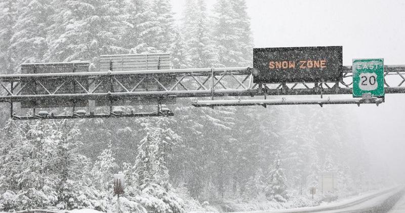 Oregon may see Cascade snow as record-warm October turns cooler
Light snow could fall on Cascade Mountain roads next weekend — Oct. 24 to 25. After one of the warmest and driest Octobers on record, it should start to feel like autumn late this week and next weekend. The Cascade…
-
 Chennai Rain: Cloudburst claims, flooded roads and the race to clear water
Chennai has been hit by its heaviest rain since Cyclone Michaung in 2023, where roads are submerged under water, and also raising cloudburst concerns as the weather department warns of more showers in the coming hours…
-
 IMD update: Heavy rain outlook for Kerala, South Interior Karnataka retained
Clouds and precipitation will likely be focused over an area bounded by Pulicat Lake to Chennai and adjoining coast as well as parts of Puducherry and then west-northwest towards Salem, Tiruchirappalli, parts of…
-
 Tamil Nadu: Orange Alert Issued For Chennai, Three Districts Ahead Of Heavy Rain Forecast
Chennai: An orange alert has been issued for Chennai, Tiruchirappalli, Coimbatore and the Nilgiris on Monday, with the weather department forecasting heavy to very heavy rainfall in the four districts amid widespread…
-
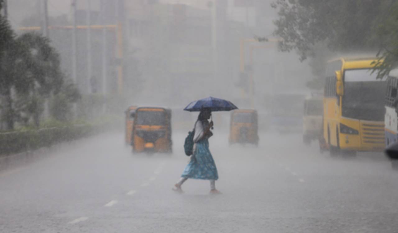 Tamil Nadu weather alert: Orange alert for Chennai, Coimbatore and two other districts
Tamil Nadu is bracing for widespread rainfall, with an orange alert issued for Chennai, Tiruchirappalli, Coimbatore and the Nilgiris on Monday. Tirunelveli and Madurai are under an orange alert for Tuesday, while heavy…
-
 Rain-battered Chennai braces for more heavy showers, CM Vijay reviews preparations
On Sunday, Chief Minister Vijay inspected the Greater Chennai Corporation headquarters at Ripon Building to review preparations for the northeast monsoon and stormwater drainage measures. The RMC has forecast heavy…
-
 Tropical development possible over the next few days
KBTX News 3 Tropical development possible over the next few days This Day in History for Sunday, October 18 Atkinson leads Oregon State’s high-flying offense to 48-30 win over Washington State Dogs take over Portland’s…
- Chengalpattu Orange Alert as Tamil Nadu Rain Warning Expands
Chengalpattu Orange Alert as Tamil Nadu Rain Intensifies Urban Acres Chengalpattu Orange Alert as Tamil Nadu Rain Warning Expands Chengalpattu has been placed under an orange alert for very heavy rain, while the Chennai…
-
 Orange alert in six Tamil Nadu districts as Northeast Monsoon brings widespread rain
Home » India » Orange alert in six Tamil Nadu districts as Northeast Monsoon brings widespread rain On: Saturday, October 17, 2026 9:54 AM Chennai, Oct 17 (IANS) Six districts in Tamil Nadu have been placed under an…
Sun & moon
Nearby
- Salem 41 km
- Erode 50 km
- Kumarapalayam 39 km
- Tiruchengode 46 km
- Vīrappanchathiram 49 km
- Kāsipālaiyam 53 km
- Dharmapuri 54 km
- Gobichettipalayam 54 km
- Periya Semūr 49 km
- Idappadi 23 km
- Rasipuram 56 km
- Sūrampatti 52 km
Forecasts, observations and alerts in the United States come from the National Weather Service (NOAA); radar from NOAA's Multi-Radar Multi-Sensor system; satellite imagery from NASA's Global Imagery Browse Services (GIBS) and NOAA's GOES satellites; the map from the U.S. Geological Survey's National Map; air quality from AirNow (EPA and its partners); hurricane information from the National Hurricane Center; climate normals and records from NOAA's Regional Climate Centers (ACIS). Forecasts outside the United States and the UV index: MET Norway (CC BY 4.0); observations outside the U.S.: airport reports via NOAA's Aviation Weather Center. Place names: GeoNames (CC BY 4.0). Data are copied on a schedule and may lag the sources; for warnings that affect your safety, follow your local National Weather Service office and emergency officials. Weather news is drawn from the 4Search index and reflects what the press published. Terms of use.