Install
Santa Bárbara, Suchitepeque, Guatemala Weather
Current conditions
Forecast for this hour (no station report in the last two hours)
Forecast
10-day-
Saturday
Rain. High 28°. Precipitation 0.9 mm for the day.
-
Saturday Night
Cloudy. Low 21°. Precipitation 0.9 mm for the day.
-
Sunday
Heavy rain. High 29°. Precipitation 6.5 mm for the day.
MET Norway forecast updated 1 day ago.
Hourly
Hourly forecast- Now27°0.3
- 15:0026°
- 16:0026°
- 17:0025°
- 18:0024°
- 19:0023°
- 20:0023°
- 21:0023°
- 22:0022°
- 23:0022°
- Sun00:0022°
- 01:0021°
- 02:0021°
- 03:0021°
- 04:0021°
- 05:0020°
- 06:0020°
- 07:0022°
- 08:0025°
- 09:0027°
- 10:0028°
- 11:0029°
Daily forecast
DetailsRadar
Full mapWeather news near Santa Bárbara
More weather news-
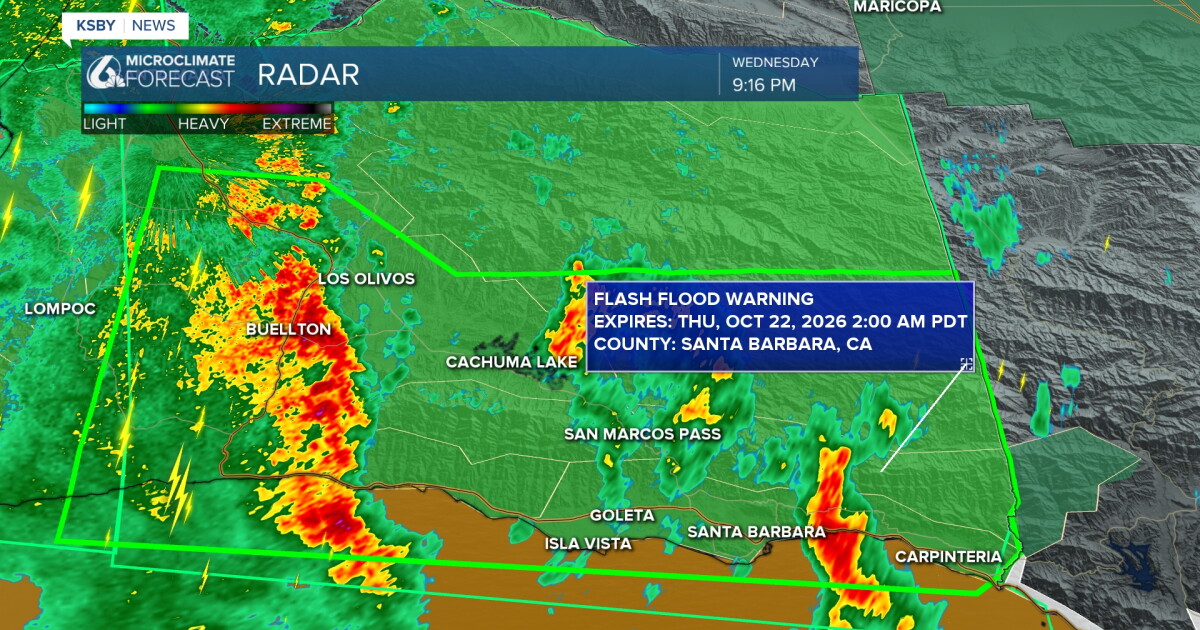 Waves of rain tonight, with the potential for heavy thunderstorms
Here's your Central Coast weather update from Meteorologist Jim Castillo for San Luis Obispo & Santa Barbara counties: More RAINFALL TOTALS for San Luis Obispo and Santa Barbara County Waves of showers & and the…
- UPDATE: Severe thunderstorm warning previously issued will expire at 8:45 p.m.
Sacramento Bee The creation of this content included the use of AI based on templates created, reviewed and edited by journalists in the newsroom. Read more on our AI policy here. The warning was issued for Santa…
-
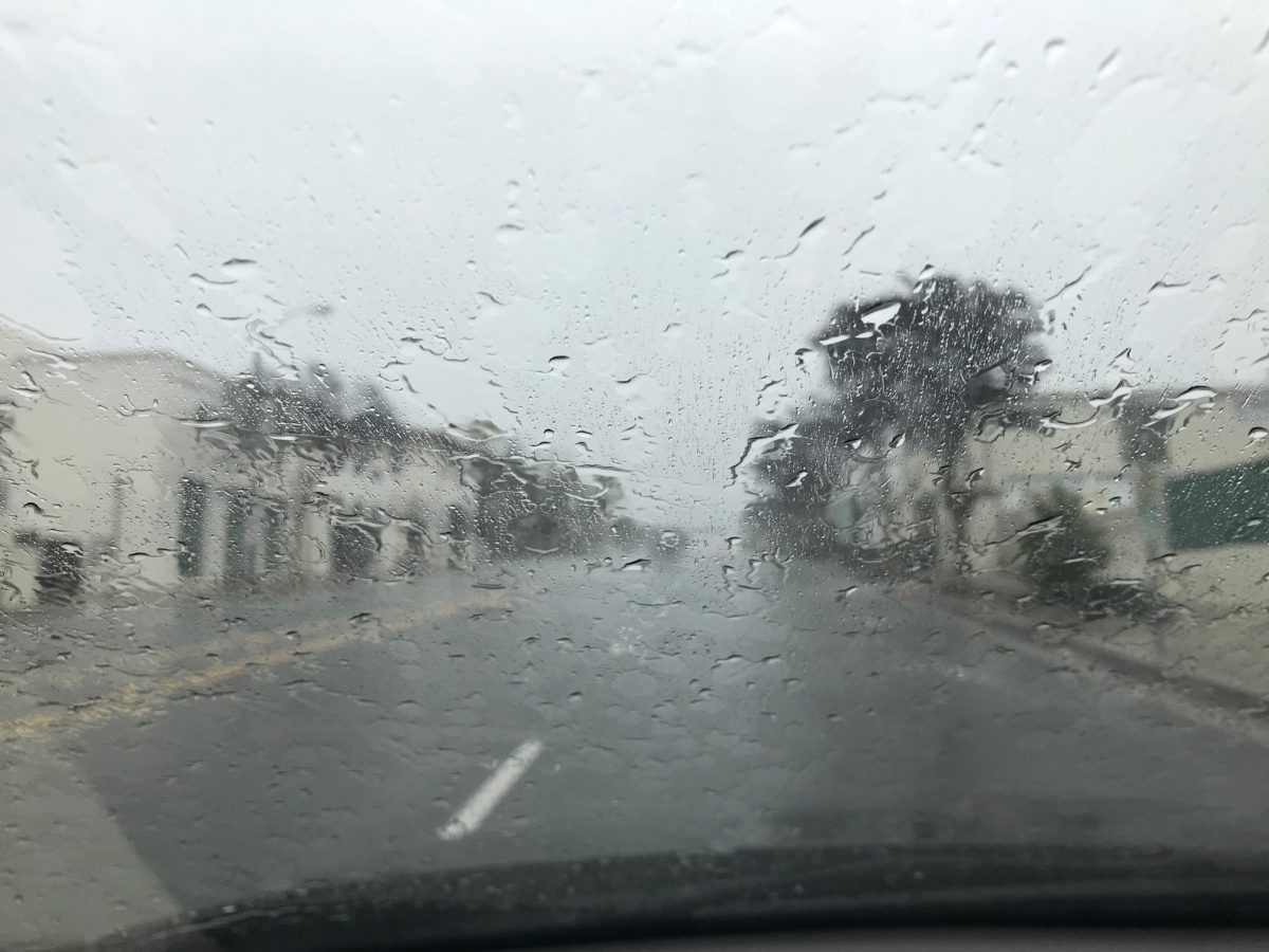 Weather Report: First Big Storm Of The Season Hits South Pasadena Tonight, Then Santa Ana Sunshine Takes Over For The Weekend
Cozy rainy night ahead Wednesday Night, October 21 • Showers and possibly a thunderstorm • Chance of rain: 90 percent • New rainfall: a quarter to half an inch possible • High near 67 • Wind turning from southeast to…
-
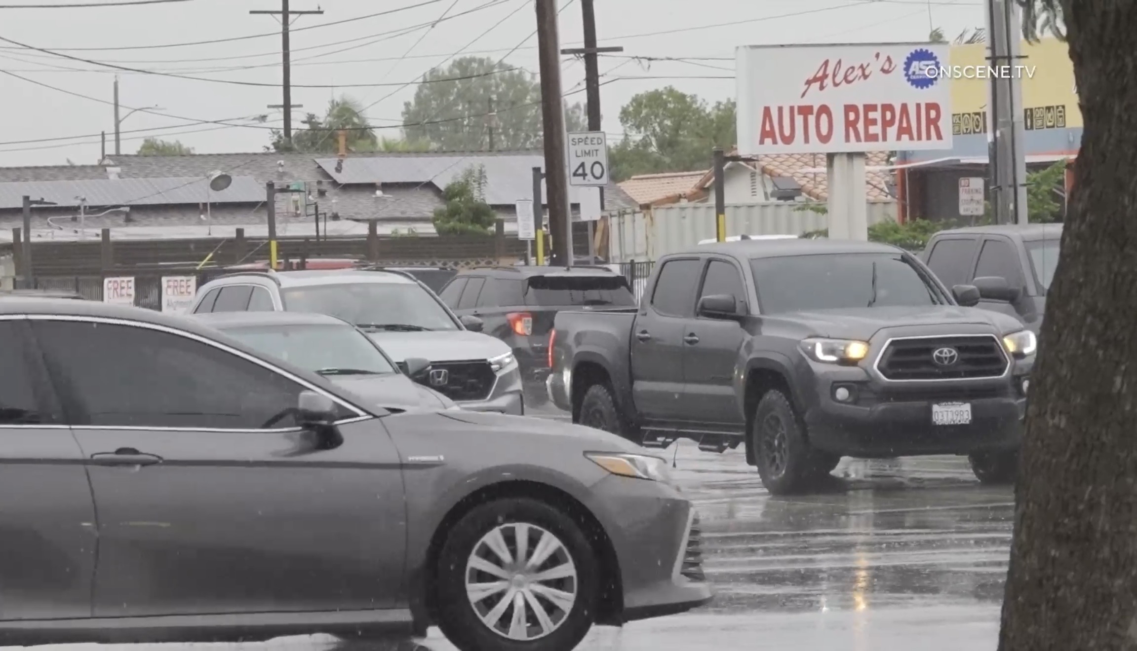 Autumn Storm Arrives in Southland
Rain swept across most of the Southland Wednesday as a strong autumn storm moved over the area, promising to bring sometimes-heavy rain expected to last through at least Thursday, along with the possibility of…
-
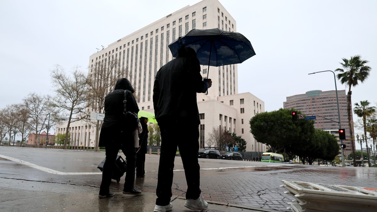 SoCal faces risks of downpours as October storm moves in
A strong autumn storm is expected to bring sometimes-heavy rain through at least Thursday. Amber Frias reports for the NBC4 News at 3 p.m. on Wednesday, Oct. 21, 2026. Rain swept across most of Southern California…
-
 The 1st storm of the season arrives Wednesday. Rain, downpours & thunderstorms
Here's your storm forecast for San Luis Obispo and Santa Barbara County from Meteorologist Jim Castillo The first rain event and storm of the season is on the way for the Central Coast! Here is what you need to know…
-
 Los Angeles braces as super rare tornado threat issued for SoCal
Tornadoes in Southern California? Apparently, that’s a real possibility this week after weather experts warned of the first significant storm this season amid a strong El Niño. A heavy storm system is expected to bump…
-
 California's rainy season to arrive with flood threat, tornado risk and Sierra snow
California's wet season is starting off with a bang. The first significant storm of the season is forecast to bring heavy rain to vulnerable burn scars near Big Sur, coastal tornado risk to the Los Angeles area, and a…
-
 Rainstorm Wednesday, flood watch & thunderstorms
SANTA BARBARA COUNTY, Calif. - Rain begins Wednesday morning for our area. Some stronger cells are expected in our region on Wednesday night. About an inch is expected locally. Thunderstorms are possible and strong…
-
 Nor'easter Threatens East Coast With Flooding and High Surf
The National Hurricane Center is monitoring the system for possible tropical development. Weather.com reported that the storm could become Tropical Storm Josephine, while NBC News placed its chances of formation at 40%…
Sun & moon
Nearby
- Quetzaltenango 56 km
- Escuintla 50 km
- Chichicastenango 58 km
- Santa Lucía Cotzumalguapa 25 km
- Totonicapán 55 km
- Chimaltenango 50 km
- Retalhuleu 50 km
- Mazatenango 32 km
- Palín 57 km
- Chicacao 16 km
- Patzún 36 km
- Antigua Guatemala 55 km
Forecasts, observations and alerts in the United States come from the National Weather Service (NOAA); radar from NOAA's Multi-Radar Multi-Sensor system; satellite imagery from NASA's Global Imagery Browse Services (GIBS) and NOAA's GOES satellites; the map from the U.S. Geological Survey's National Map; air quality from AirNow (EPA and its partners); hurricane information from the National Hurricane Center; climate normals and records from NOAA's Regional Climate Centers (ACIS). Forecasts outside the United States and the UV index: MET Norway (CC BY 4.0); observations outside the U.S.: airport reports via NOAA's Aviation Weather Center. Place names: GeoNames (CC BY 4.0). Data are copied on a schedule and may lag the sources; for warnings that affect your safety, follow your local National Weather Service office and emergency officials. Weather news is drawn from the 4Search index and reflects what the press published. Terms of use.