Install
Santa Lucía Cotzumalguapa, Escuintla, Guatemala Weather
Current conditions
Forecast for this hour (no station report in the last two hours)
Forecast
10-day-
Tuesday
Showers. High 30°. Precipitation 1.0 mm for the day.
-
Tuesday Night
Cloudy. Low 21°. Precipitation 1.0 mm for the day.
-
Wednesday
Light rain. High 30°. Precipitation 0.3 mm for the day.
MET Norway forecast updated 3 hrs ago.
Hourly
Hourly forecast- Now22°
- 07:0022°
- 08:0026°
- 09:0027°
- 10:0028°
- 11:0029°
- 12:0030°0.3
- 13:0030°0.4
- 14:0029°
- 15:0028°0.2
- 16:0027°
- 17:0026°
- 18:0025°
- 19:0024°
- 20:0024°
- 21:0023°
- 22:0023°
- 23:0022°
- Wed00:0022°
- 01:0022°
- 02:0021°
- 03:0021°
- 04:0021°
- 05:0021°
Daily forecast
DetailsRadar
Full mapWeather news in Guatemala
More weather news-
 Tropical Storm Vance has formed in the Pacific Ocean
Sentinel and Enterprise The center of the cyclone was at sea and posed no threat to land. Vance was located about 520 miles south of Acapulco, Mexico. Maximum sustained winds were around 40 mph, according to an advisory…
-
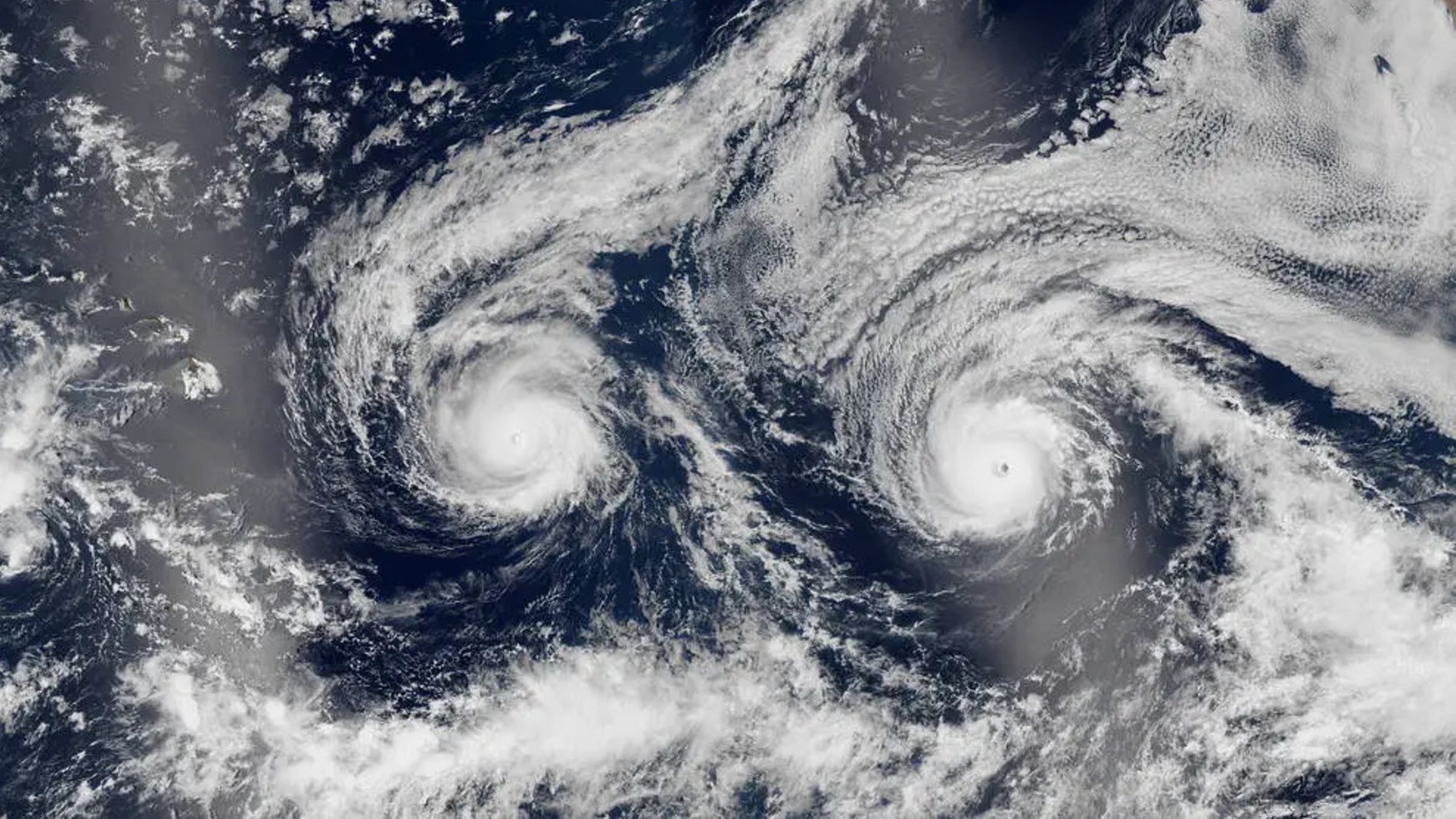 Twin hurricanes stare out to space as they barrel toward Hawaii — Earth from space
Not ready for Pro? Join live science pro Want more Life's Little Mysteries? Where is it? Pacific Ocean When was it taken? Aug. 29, 2016 This eye-catching satellite snap from a decade ago shows a pair of hurricanes…
-
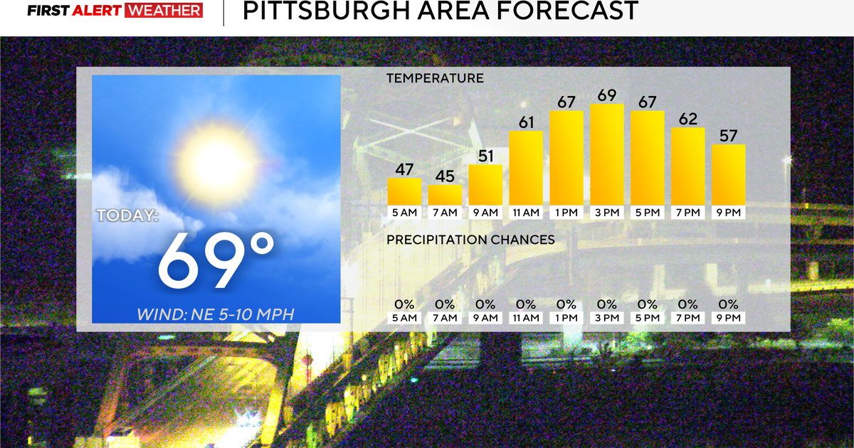 Rain chances could return to the Pittsburgh-area forecast early next week
October 27, 2026 / 7:54 AM EDT / CBS Pittsburgh Rain chances could return to the forecast for the Pittsburgh area next week. Any alert days ahead? Nope. Aware: Yesterday was the tenth day in a row with no measurable…
-
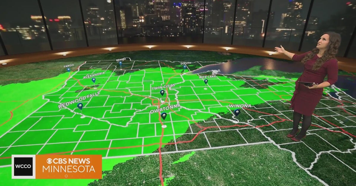 Rain to taper off after Minnesota's morning commute | Oct. 27, 2026
CBS News Minnesota is a local news organization that is part of CBS News and Stations. Also referred to as WCCO-TV and channel 4, CBS News Minnesota offers local breaking news, weather coverage and investigative…
-
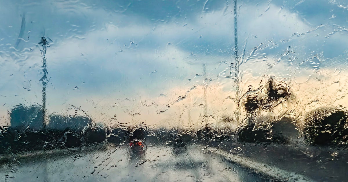 Rain tapering off across Minnesota, with storms possible Wednesday
October 27, 2026 / 6:44 AM CDT / CBS Minnesota Rain is expected to taper off after Tuesday morning's commute in Minnesota. It will be about 10 degrees warmer than Monday, and Wednesday will be warmer still, with…
-
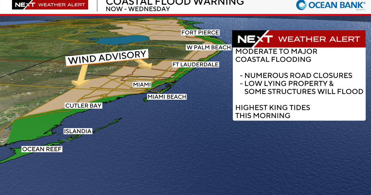 South Florida king tides peak Tuesday continuing risk of coastal flooding from Fort Lauderdale to Miami
October 27, 2026 / 7:20 AM EDT / CBS Miami A CBS News Miami NEXT Weather Alert remains in effect across South Florida through Wednesday due to a combination of king tides, strong onshore winds and periods of heavy rain…
-
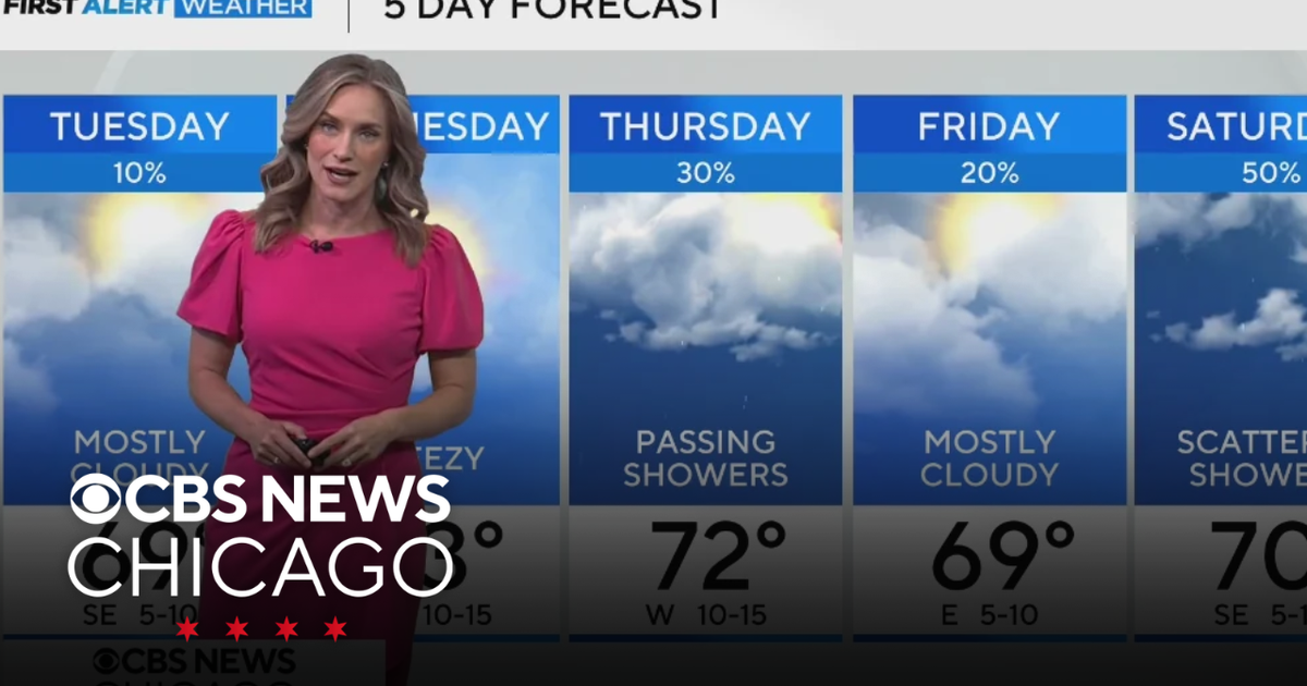 Highs near 70 degrees on Tuesday in Chicago
WBZ This Morning 6am CBS News Chicago 5am CBS News Detroit 6am CBS News Miami 6am CBS News Philadelphia 6am KDKA-TV Morning News 6am CBS News Texas 5am
-
 Groton digs out from a foot of snow during nor'easter
March 14, 2023 / 5:01 PM EDT / CBS Boston GROTON - During Tuesday's nor'easter several communities experienced a wide variety of precipitations. Groton was not one of them. The snow fell consistently starting before…
-
 'Tropical tricks' ahead? Florida faces more gusty winds, coastal flooding
Don't let your guard down. That's the advice from AccuWeather forecasters watching an area off the coast of Florida for "tropical tricks" before Halloween. Even if it doesn't develop, coastal impacts along the southeast…
-
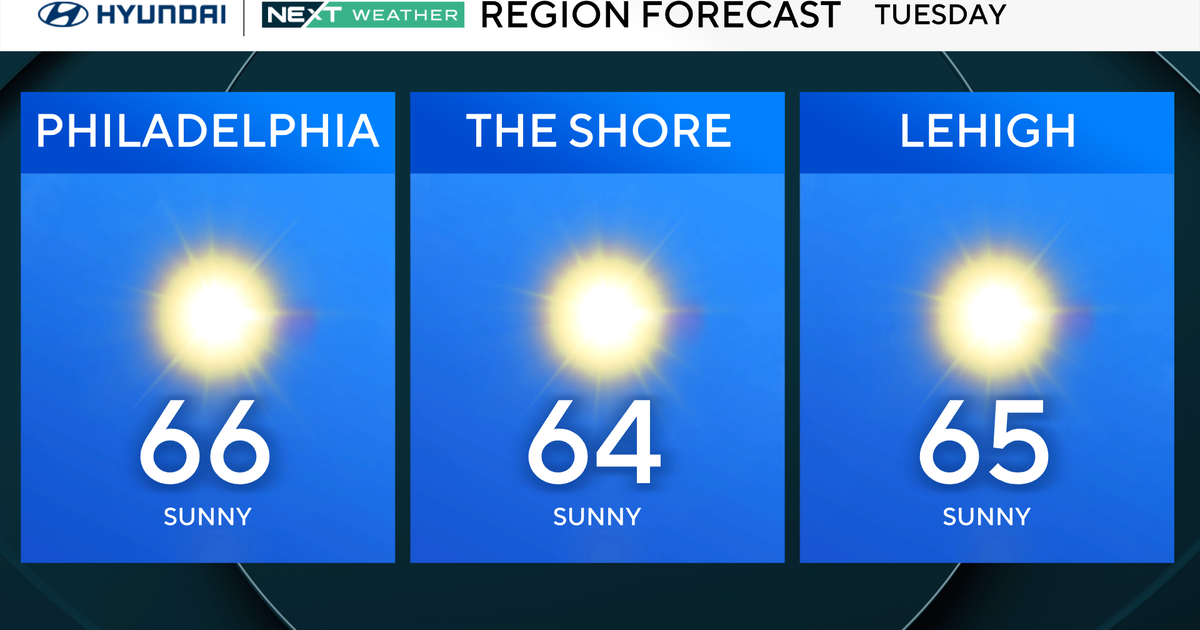 Slightly warmer start, but more of the same in Philadelphia region Tuesday. Here's the weather forecast.
October 27, 2026 / 12:00 AM EDT / CBS Philadelphia Tuesday will be a slightly warmer start to the day in the Philadelphia region, with high temperatures reaching the mid-60s. The NEXT big change in terms of rainfall…
Sun & moon
Nearby
- Villa Nueva 52 km
- Mixco 56 km
- Escuintla 26 km
- Villa Canales 55 km
- San Juan Sacatepéquez 59 km
- Petapa 53 km
- Chimaltenango 42 km
- Mazatenango 56 km
- Amatitlán 45 km
- Palín 36 km
- Chicacao 40 km
- Patzún 39 km
Forecasts, observations and alerts in the United States come from the National Weather Service (NOAA); radar from NOAA's Multi-Radar Multi-Sensor system; satellite imagery from NASA's Global Imagery Browse Services (GIBS) and NOAA's GOES satellites; the map from the U.S. Geological Survey's National Map; air quality from AirNow (EPA and its partners); hurricane information from the National Hurricane Center; climate normals and records from NOAA's Regional Climate Centers (ACIS). Forecasts outside the United States and the UV index: MET Norway (CC BY 4.0); observations outside the U.S.: airport reports via NOAA's Aviation Weather Center. Place names: GeoNames (CC BY 4.0). Data are copied on a schedule and may lag the sources; for warnings that affect your safety, follow your local National Weather Service office and emergency officials. Weather news is drawn from the 4Search index and reflects what the press published. Terms of use. How to use Weather