Install
Semi, Ouémé, Benin Weather
Current conditions
Forecast for this hour (no station report in the last two hours)
Forecast
10-day-
Tuesday
Rain. High 29°. Precipitation 1.6 mm for the day.
-
Tuesday Night
Cloudy. Low 26°. Precipitation 1.6 mm for the day.
-
Wednesday
Rain. High 30°. Precipitation 1.3 mm for the day.
MET Norway forecast updated 4 hrs ago.
Hourly
Hourly forecast- Now29°
- 16:0029°
- 17:0028°
- 18:0028°
- 19:0027°
- 20:0027°
- 21:0027°
- 22:0027°
- 23:0027°
- Wed00:0027°
- 01:0027°
- 02:0027°
- 03:0027°
- 04:0027°
- 05:0027°
- 06:0027°
- 07:0027°
- 08:0028°
- 09:0028°
- 10:0029°0.2
- 11:0029°
- 12:0030°
- 13:0030°0.4
- 14:0029°0.2
Daily forecast
DetailsRadar
Full mapWeather news near Semi
More weather news-
 Fantastic fall Sunday, warmer days ahead
KCTV KANSAS CITY, Mo. (KCTV) - Chilly temperatures blanket the region for the start of your Sunday. SUNDAY: Sunshine is expected all day, so that will help our crisp fall conditions feel a bit more pleasant. We have a…
-
 Cool and mild trend into next week.
KTEN Here is your Saturday night forecast from Meteorologist Parker Schroeder. - Shakeup Saturday: 5 of the top 8 teams in the Top 25 lost for the first time since 1989 - Abdul El-Sayed disavows Muslim Brotherhood and…
-
 Hurricane Trudy makes its way toward Mexico as Typhoon Champi threatens Guam
Posted Oct 17, 2026 3:49 am. The center of Trudy will approach the coast on Saturday and pass near it into Sunday. A hurricane warning was in effect from Manzanillo in Colima state to Cabo Corrientes in Jalisco. The…
-
 Evening weather forecast for October 16
| Videos | 2news.com KTVN Warm and dry weather prevails through the weekend with east to southeast breezes this afternoon. Increasing south to southwest winds by Monday afternoon as a storm approaches the west coast…
-
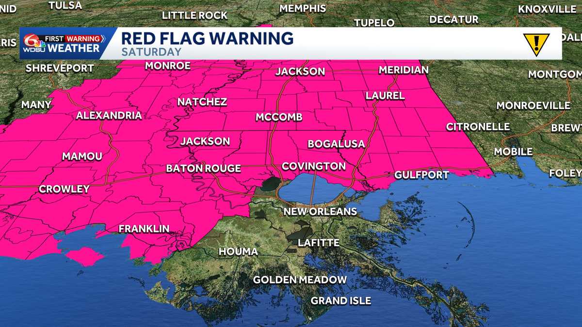 Impact Day Friday & Saturday: Red Flag Warning & Wind Advisory stretches across Southeast Louisiana
Red Flag Warning: Southeast Louisiana and Southern Mississippi Saturday The National Weather Service in New Orleans has issued a Red Flag Warning for all of southern Mississippi and parts of southeast Louisiana on…
-
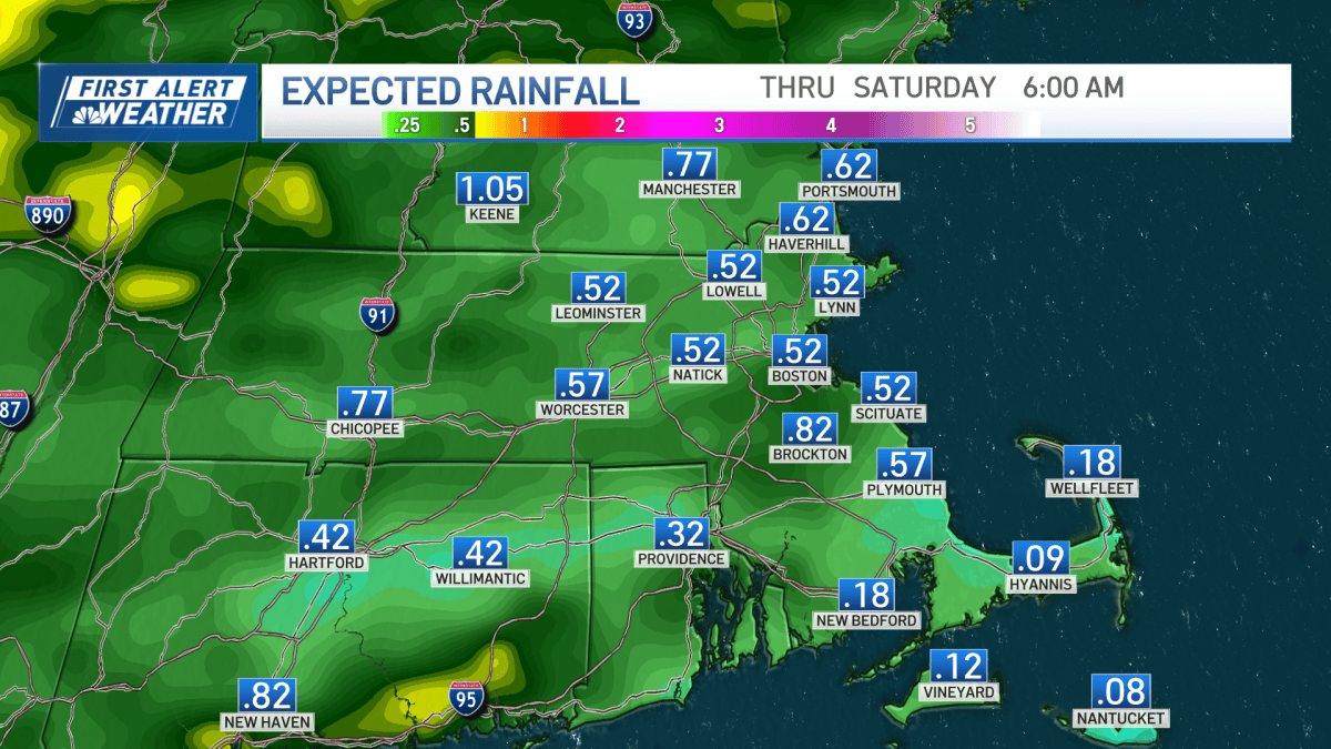 Rainy start to the day, more showers and possible thunderstorms later (live radar)
Tevin Wooten has the details on the rounds of rain we’re expecting today. We’re starting with showers this morning, but the day isn’t entirely washed out. By early afternoon, most of the rain should scoot offshore…
-
 Friday AM Forecast: October 16, 2026
WHIO TV Woman fires shots at intruders during daytime home break-in New business association coming to Kettering Advanced air mobility industry brings jobs, investment to Miami Valley Sophisticated fraudsters target…
-
 Snow-covered landscapes of East Kazakhstan Region shown on social media
Tengrinews.kz — Snow fell in some parts of East Kazakhstan Region in mid-October. Snow cover formed mainly in mountainous areas, and scenic footage has appeared on social media. The outskirts of Ridder were covered in…
-
 High Wind Warning for Friday and Saturday for Inland Empire Valleys
FONTANA, CA. (Pain In The Pass) >> The Southern California Weather Force has issued a High Wind Warning and a Santa Ana Wind Warning, effective Thursday morning throught Friday night. Strongest winds will happen on…
-
 Trudy strengthens to a hurricane as system nears Mexico’s coast with major storm expected
ABC7 WWSB Trudy was located about 300 miles (480 kilometers) southwest of Acapulco, Mexico, with maximum sustained winds of 75 mph (120 kph), according to the U.S. National Hurricane Center in Miami. The hurricane was…
Sun & moon
Nearby
Forecasts, observations and alerts in the United States come from the National Weather Service (NOAA); radar from NOAA's Multi-Radar Multi-Sensor system; satellite imagery from NASA's Global Imagery Browse Services (GIBS) and NOAA's GOES satellites; the map from the U.S. Geological Survey's National Map; air quality from AirNow (EPA and its partners); hurricane information from the National Hurricane Center; climate normals and records from NOAA's Regional Climate Centers (ACIS). Forecasts outside the United States and the UV index: MET Norway (CC BY 4.0); observations outside the U.S.: airport reports via NOAA's Aviation Weather Center. Place names: GeoNames (CC BY 4.0). Data are copied on a schedule and may lag the sources; for warnings that affect your safety, follow your local National Weather Service office and emergency officials. Weather news is drawn from the 4Search index and reflects what the press published. Terms of use.