Install
Porto-Novo, Ouémé, Benin Weather
Current conditions
Forecast for this hour (no station report in the last two hours)
Forecast
10-day-
Monday
Heavy rain. High 31°. Precipitation 3.0 mm for the day.
-
Monday Night
Mostly sunny. Low 27°. Precipitation 3.0 mm for the day.
-
Tuesday
Heavy rain. High 30°. Precipitation 12.0 mm for the day.
MET Norway forecast updated 4 hrs ago.
Hourly
Hourly forecast- Now29°0.4
- 17:0029°0.2
- 18:0028°
- 19:0027°
- 20:0027°
- 21:0027°
- 22:0027°
- 23:0027°
- Tue00:0026°
- 01:0026°
- 02:0026°0.2
- 03:0025°0.6
- 04:0025°
- 05:0025°
- 06:0025°
- 07:0025°
- 08:0026°
- 09:0028°
- 10:0029°
- 11:0030°0.2
- 12:0030°1.0
- 13:0028°0.8
- 14:0030°3.0
- 15:0027°2.0
10-day forecast
DetailsRadar
Full mapWeather news
More weather news-
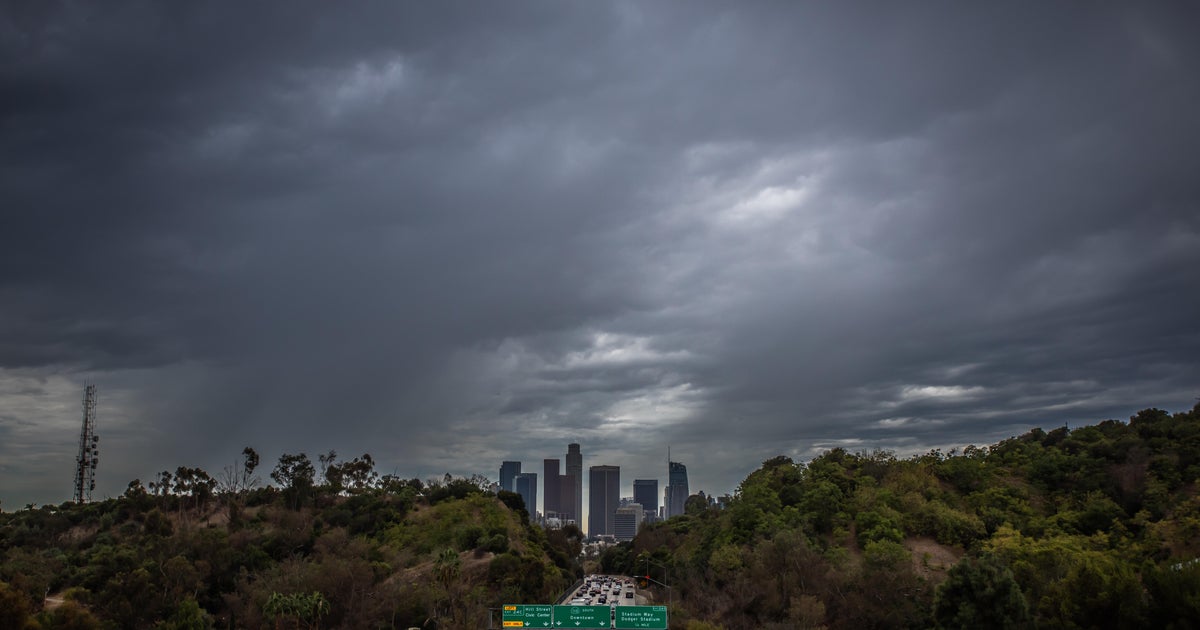 Southern California's Halloween weekend seeing greater potential for rain
October 26, 2026 / 7:48 AM PDT / CBS LA Confidence is growing that Southern California's Halloween weekend will be wet, although it's unclear just how wet as of Monday. According to the National Weather Service, there's…
-
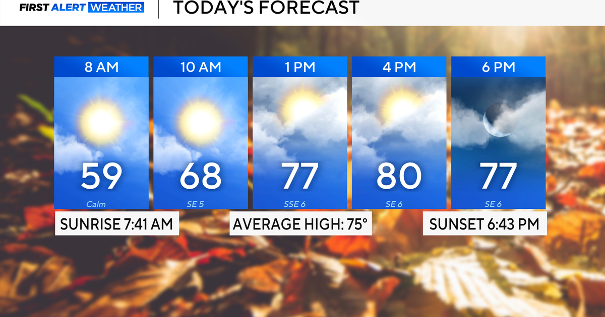 Rain chances on the rise for North Texas this week
October 26, 2026 / 8:16 AM CDT / CBS Texas North Texas woke up to partly to mostly cloudy skies and high temperatures in the 50s and 60s. You'll want to grab that light jacket as you head out the door. We'll continue to…
-
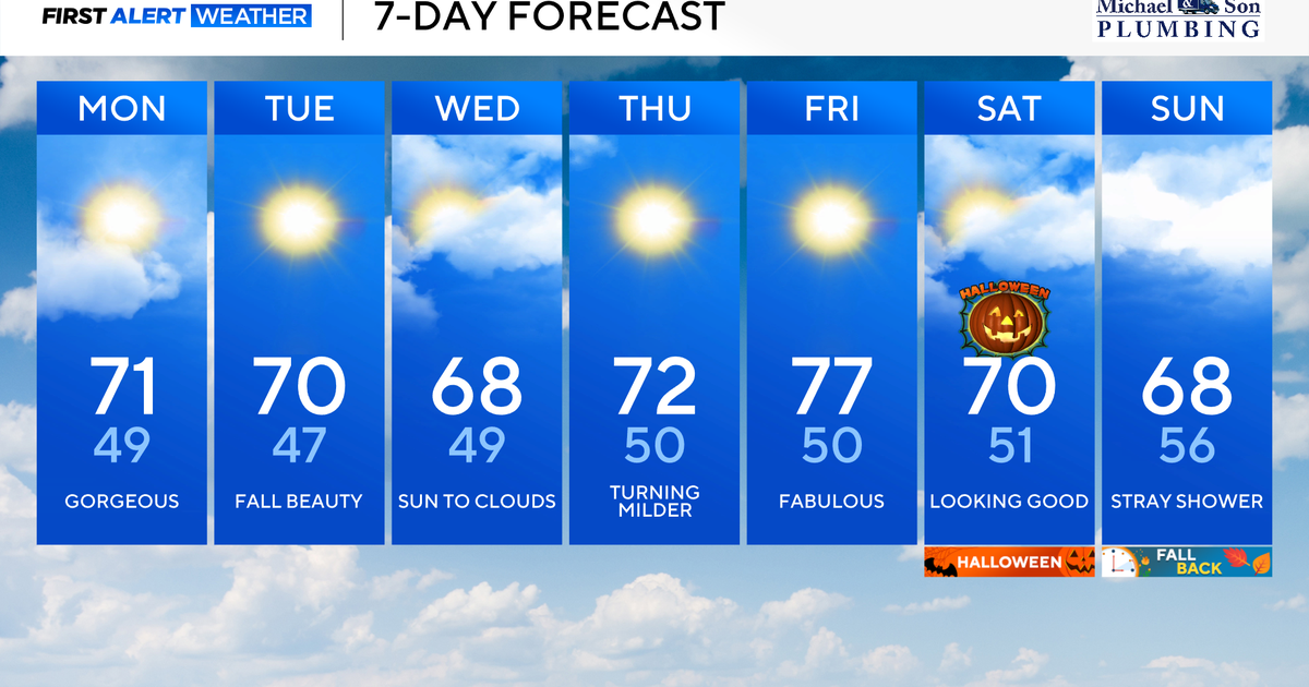 Another stunning week of fall weather coming to Maryland
Updated on: October 26, 2026 / 8:35 AM EDT / CBS Baltimore Get ready for another awesome week of nice fall weather across the state of Maryland. The nice and dry weather should continue into Halloween on Saturday. A…
-
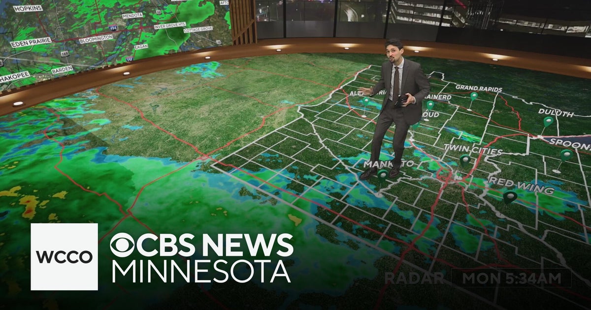 Widespread rainy weather in Minnesota | Oct. 26, 2026
CBS News Minnesota is a local news organization that is part of CBS News and Stations. Also referred to as WCCO-TV and channel 4, CBS News Minnesota offers local breaking news, weather coverage and investigative…
-
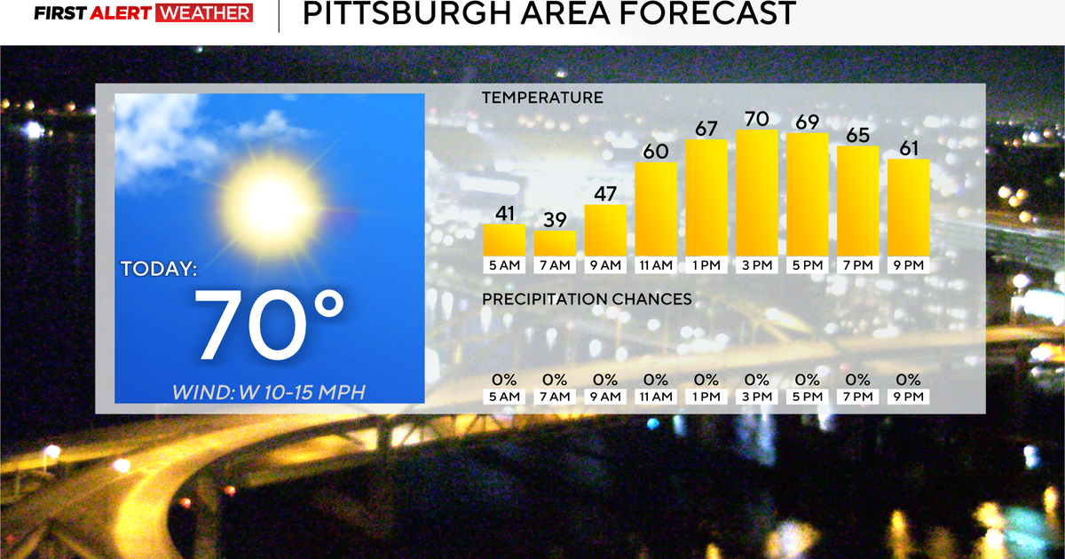 Today will mark 10 straight days without rain for the Pittsburgh area
October 26, 2026 / 7:51 AM EDT / CBS Pittsburgh Today will mark the 10th straight day in the Pittsburgh region with no measurable rain. Any alert days ahead? Nope. Aware: This month will be the sunniest month in…
-
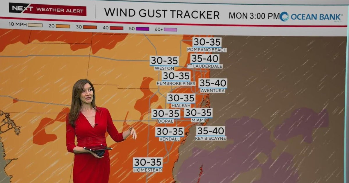 NEXT Weather Alert in effect across South Florida due to king tides, strong winds, heavy downpours
A CBS News Miami NEXT Weather Alert is in effect across South Florida through at least Tuesday due to the combination of king tides, strong onshore winds and heavy downpours. CBS News Miami NEXT Weather meteorologist…
-
 Widespread rain in Minnesota Monday; milder air returns Tuesday
Updated on: October 26, 2026 / 6:42 AM CDT / CBS Minnesota Minnesota will see widespread rain Monday, with the heaviest amounts across the western and central parts of the state. Some areas could see more than an inch…
-
 Stunning photos capture October's Hunter's Moon around the world
A good view for the passengers of this plane flying over San Francisco Bay in California, US The October full Moon lit up skies around the world this weekend. Full Moons throughout the year have traditionally been given…
-
 A wild winter is brewing. Here’s what meteorologists want you to know.
Breaking news and analysis on politics, business, world, national news, entertainment and more. In-depth DC, Virginia, Maryland news coverage including traffic, weather, crime, education, restaurant reviews and more…
-
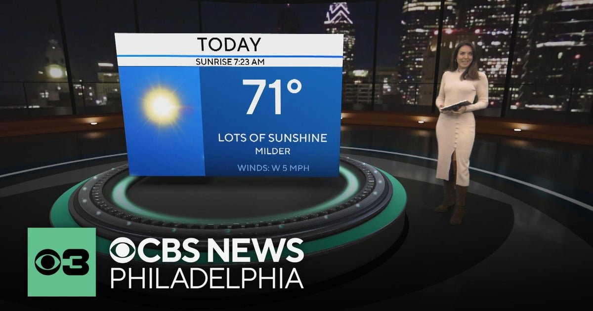 Mild and dry fall weather with clear skies in the Philadelphia region | NEXT Weather
CBS News Bay Area Evening Edition 11pm WBZ This Morning 5am CBS News Detroit 5am CBS News Los Angeles Weekend 11pm CBS News Miami 5am CBS News Philadelphia 5am KDKA-TV Morning News 5am
Sun & moon
Nearby
Forecasts, observations and alerts in the United States come from the National Weather Service (NOAA); radar from NOAA's Multi-Radar Multi-Sensor system; satellite imagery from NASA's Global Imagery Browse Services (GIBS) and NOAA's GOES satellites; the map from the U.S. Geological Survey's National Map; air quality from AirNow (EPA and its partners); hurricane information from the National Hurricane Center; climate normals and records from NOAA's Regional Climate Centers (ACIS). Forecasts outside the United States and the UV index: MET Norway (CC BY 4.0); observations outside the U.S.: airport reports via NOAA's Aviation Weather Center. Place names: GeoNames (CC BY 4.0). Data are copied on a schedule and may lag the sources; for warnings that affect your safety, follow your local National Weather Service office and emergency officials. Weather news is drawn from the 4Search index and reflects what the press published. Terms of use. How to use Weather