Install
Obispos, Barinas, Venezuela Weather
Current conditions
Forecast for this hour (no station report in the last two hours)
Forecast
10-day-
Thursday Night
Cloudy. Low 25°.
-
Friday
Light showers. High 33°. Precipitation 0.5 mm for the day.
-
Friday Night
Cloudy. Low 24°. Precipitation 0.5 mm for the day.
MET Norway forecast updated 4 hrs ago.
Hourly
Hourly forecast- Now25°
- Fri00:0025°
- 01:0025°
- 02:0025°
- 03:0025°
- 04:0024°
- 05:0024°
- 06:0024°
- 07:0024°
- 08:0026°
- 09:0028°
- 10:0030°
- 11:0031°0.2
- 12:0032°0.2
- 13:0032°
- 14:0033°
- 15:0033°
- 16:0033°
- 17:0032°
- 18:0030°
- 19:0029°
- 20:0028°
- 21:0027°
- 22:0027°
10-day forecast
Details- TonightOct 22Cloudy25°26°
- FriOct 23Light showers0.5 mm24°33°
- SatOct 24Heavy showers5.3 mm25°31°
- SunOct 25Rain5.2 mm25°33°
- MonOct 26Heavy showers5.6 mm24°34°
- TueOct 27Showers10.9 mm24°33°
- WedOct 28Heavy showers8.6 mm24°32°
- ThuOct 29Partly cloudy23°33°
- FriOct 30Showers12.3 mm22°32°
- SatOct 31Rain3.1 mm23°30°
Radar
Full mapWeather news near Obispos
More weather news-
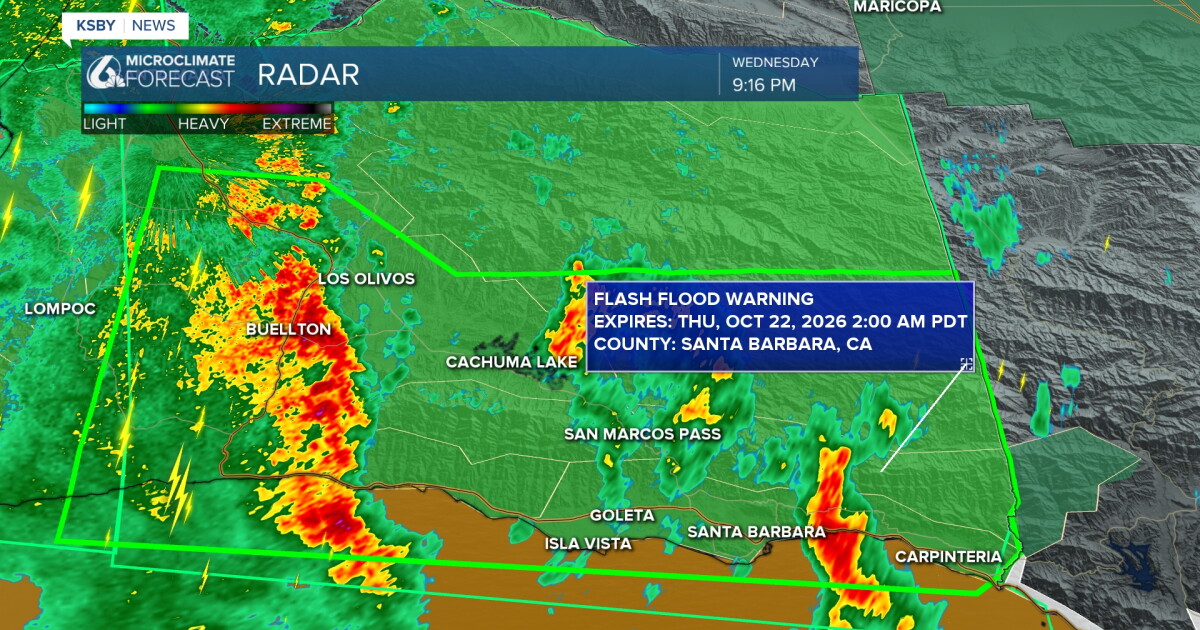 Waves of rain tonight, with the potential for heavy thunderstorms
Here's your Central Coast weather update from Meteorologist Jim Castillo for San Luis Obispo & Santa Barbara counties: More RAINFALL TOTALS for San Luis Obispo and Santa Barbara County Waves of showers & and the…
-
 The 1st storm of the season arrives Wednesday. Rain, downpours & thunderstorms
Here's your storm forecast for San Luis Obispo and Santa Barbara County from Meteorologist Jim Castillo The first rain event and storm of the season is on the way for the Central Coast! Here is what you need to know…
-
 California's rainy season to arrive with flood threat, tornado risk and Sierra snow
California's wet season is starting off with a bang. The first significant storm of the season is forecast to bring heavy rain to vulnerable burn scars near Big Sur, coastal tornado risk to the Los Angeles area, and a…
-
 Nor'easter Threatens East Coast With Flooding and High Surf
The National Hurricane Center is monitoring the system for possible tropical development. Weather.com reported that the storm could become Tropical Storm Josephine, while NBC News placed its chances of formation at 40%…
- Storm will bring rain, wind and chance for a tornado to SLO County
A rainy storm system heading for Southern California is set to roll into San Luis Obispo County, and it could bring lightning, thunder and even a chance for a tornado. Starting Tuesday evening through Thursday, the…
-
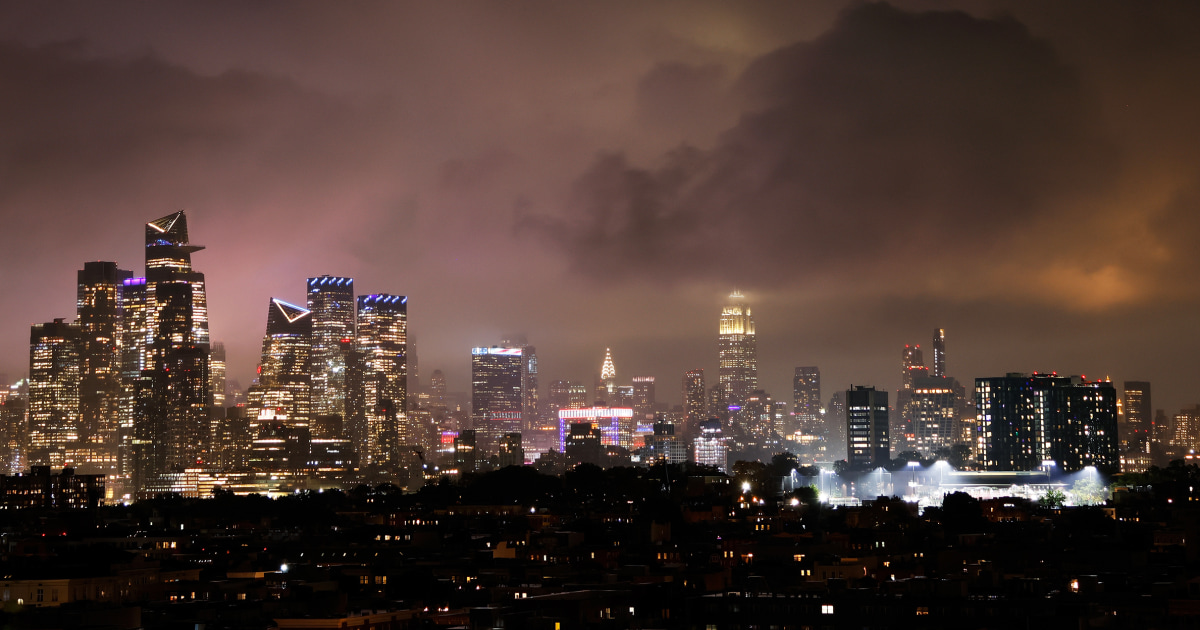 Powerful nor’easter churning up the East Coast
A powerful nor’easter is churning up the East Coast and is on track to bring several days of heavy rain, flooding and strong winds. The storm is expected to stay far enough offshore that the heaviest rain will likely…
-
 ‘Weather Whiplash’ Bringing Back Rain and Snow to California
A “weather whiplash” will continue taking Californians for a ride this week, as last week’s high temperatures and blustery winds give way to clouds, rain and snow in the mountains. This week, the stormy weather returns…
- This SLO County heat wave will end soon. Once it does, be prepared for some rain
A live data feed from the National Weather Service containing official weather warnings, watches, and advisory statements. Tap warning areas for more details. Sources: NOAA, National Weather Service, NOAA GeoPlatform…
-
 Santa Ana winds ease Saturday, but offshore breezes linger early
by Chief Meteorologist Ilya Neyman BAKERSFIELD, Calif. (KBAK/KBFX) — The first "Santa Ana wind" event of the season is winding down after a couple blustery days across Kern County. Thursday's east/northeasterly winds…
-
 Heat Advisory continues until 8 pm on Saturday, much cooler next week
Here is your Central Coast weather forecast for San Luis Obispo County and Santa Barbara County from Meteorologist Jim Castillo Mountain & Foothill Wind Speeds Red Flag Warnings end at 6 pm but gusty winds are still…
Sun & moon
Nearby
- Barinas 14 km
- Alto Barinas 13 km
- Ciudad Bolivia 59 km
- Barinitas 38 km
- Sabaneta 25 km
- Barrancas 18 km
- Boconoito 30 km
Forecasts, observations and alerts in the United States come from the National Weather Service (NOAA); radar from NOAA's Multi-Radar Multi-Sensor system; satellite imagery from NASA's Global Imagery Browse Services (GIBS) and NOAA's GOES satellites; the map from the U.S. Geological Survey's National Map; air quality from AirNow (EPA and its partners); hurricane information from the National Hurricane Center; climate normals and records from NOAA's Regional Climate Centers (ACIS). Forecasts outside the United States and the UV index: MET Norway (CC BY 4.0); observations outside the U.S.: airport reports via NOAA's Aviation Weather Center. Place names: GeoNames (CC BY 4.0). Data are copied on a schedule and may lag the sources; for warnings that affect your safety, follow your local National Weather Service office and emergency officials. Weather news is drawn from the 4Search index and reflects what the press published. Terms of use.