Install
Fort Washakie, WY Weather
Current conditions
Forecast for this hour (no station report in the last two hours)
Forecast
10-day-
Monday Night
Partly cloudy, with a low around 33.
-
Tuesday
Sunny, with a high near 55.
-
Tuesday Night
Mostly clear, with a low around 35.
National Weather Service forecast updated 4 days ago.
Hourly
Hourly forecast- Now44°
- 8 PM41°
- 9 PM39°
- 10 PM38°
- 11 PM37°
- Tue12 AM37°
- 1 AM36°
- 2 AM36°
- 3 AM35°
- 4 AM34°
- 5 AM34°
- 6 AM34°
- 7 AM35°
- 8 AM36°
- 9 AM38°
- 10 AM41°
- 11 AM45°
- 12 PM49°
- 1 PM52°
- 2 PM53°
- 3 PM54°
- 4 PM54°
- 5 PM52°
- 6 PM50°
Daily forecast
Details- ThuOct 22Partly Sunny17%48°67°
- FriOct 23Slight Chance Rain Showers then Sunny18%35°61°
- SatOct 24Partly Sunny13%33°45°
- SunOct 25Slight Chance Rain And Snow Showers then Mostly Sunny16%32°49°
- TodayOct 26Sunny33°50°
- TueOct 27Sunny35°55°
- WedOct 28Sunny35°55°
- ThuOct 29Cloudy33°45°
- FriOct 30Cloudy36°53°
Days after the National Weather Service's seven are MET Norway's outlook, a computer model with no forecaster's review.
Radar
Full mapWeather news in Wyoming
More weather news-
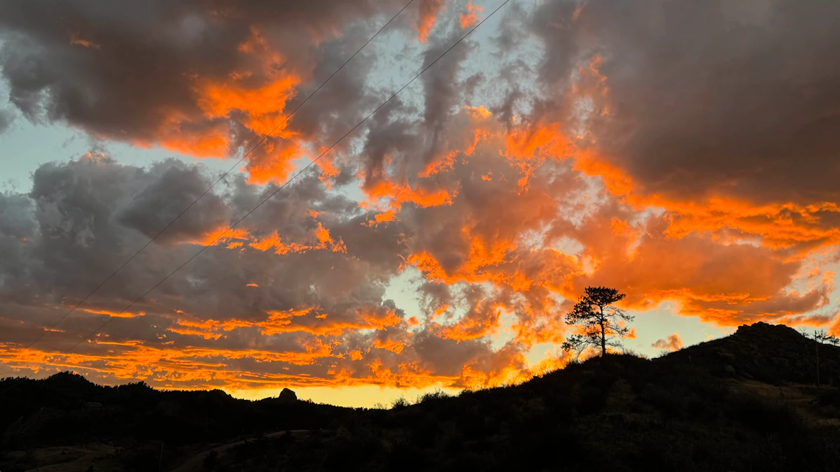 Don Day's Wyoming Weather Forecast: Monday, October 26, 2026
Areas of morning fog, rain and snow in Wyoming on Monday then gradually clearing skies. Rain and snow possible, breezy in some locations overnight. Highs in the 40s and 50s. Lows in the 20s and 30s. Riverton: Areas of…
-
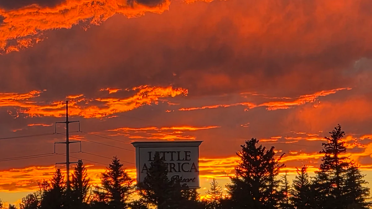 Don Day's Wyoming Weather Forecast: Sunday, October 25, 2026
Chance of rain and snow in parts of Wyoming on Sunday, otherwise partly sunny. Partly cloudy to cloudy skies overnight. Rain and snow possible in some areas. Highs mainly in the 40s and low 50s. Lows from the low 20s to…
-
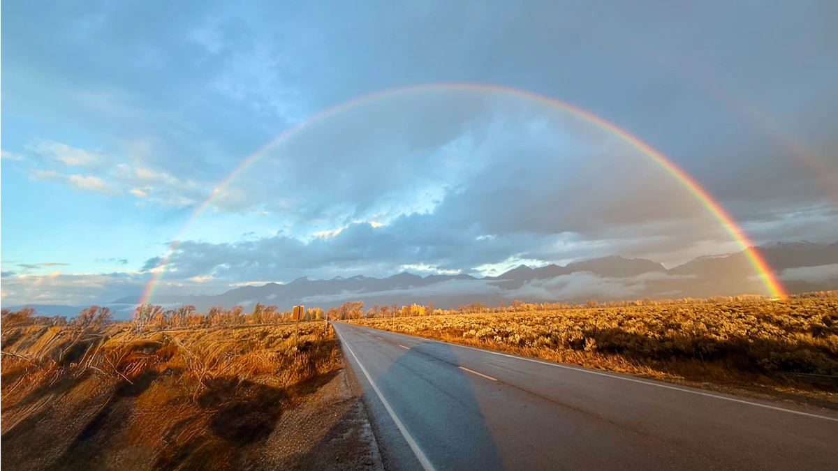 Don Day's Wyoming Weather Forecast: Saturday, October 24, 2026
October 24, 2026less than a minute read Coy KnobelOctober 23, 2026 Coy KnobelOctober 22, 2026 Coy KnobelOctober 21, 2026 Coy KnobelOctober 20, 2026
-
 El Nino will impact SE Wyoming weather, state's ACT scores mixed
Good morning, and Happy Friday! According to reporter Alyssa Tolman's summary of the NWS 2026-27 winter outlook, a developing El Niño could bring increased chances for snowfall to Cheyenne later in the winter and into…
-
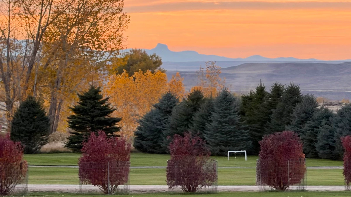 Don Day's Wyoming Weather Forecast: Friday, October 23, 2026
Sunny in some areas of Wyoming on Friday and rain possible in others. Windy. Breezy overnight with a chance of rain and snow in some areas. Highs from the upper 40s to near 80. Lows from the mid 20s to near 40. Casper…
-
 El Niño outlook points to warmer winter, increased spring snow chances in Cheyenne
A pedestrian crosses 24th Street at Capitol Avenue on May 5 in Cheyenne. After a dry winter season, a spring snowstorm that began the night before brought several inches of wet snow to the region, and more was expected…
-
 #Drought news October 22, 2026: Improvements occurred across portions of #Kansas, #Nebraska, #Colorado, #Wyoming, #Utah, #Arizona and #NewMexico
Drought news October 22, 2026: Improvements occurred across portions of #Kansas, #Nebraska, #Colorado, #Wyoming, #Utah, #Arizona and #NewMexico coyotegulch.blog Click on a thumbnail graphic to view a gallery of drought…
-
 Valley rain and mountain snow expected on Friday
Buckrail's WEATHER updates are made possible with support from Teton County Emergency Management JACKSON, Wyo. – Following a week of mild weather, a storm will move through the area on Friday, with rain changing to snow…
-
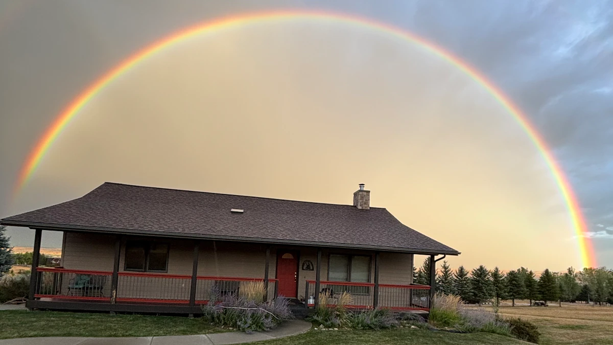 Don Day's Wyoming Weather Forecast: Thursday, October 22, 2026
Chance of rain, cloudy in parts of Wyoming on Thursday. Partly to mostly cloudy overnight with a chance of rain in some areas. Highs in the 60s and 70s. Lows from the mid 30s to mid 50s. Casper: Partly sunny and breezy…
-
 Q2 Billings Area Weather: Warm and dry, then wet and cool
KTVQ Warm and mainly dry conditions (isolated showers are possible over the high terrain of south-central Montana through the morning hours) will stick around through Thursday night as southwesterly flow takes over…
Air quality
Air quality is satisfactory, and air pollution poses little or no risk.
Lander, WY reporting area · 1 hr ago. Data from AirNow (EPA and its state, local and tribal partners); preliminary and subject to change.
Sun & moon
Nearby
Forecasters' discussion
From the National Weather Service office in RIW, issued 6 hrs ago
Key Messages
- Dry, with seasonal temperatures today.
- A weather system brings snow showers to western Wyoming tonight, with the highest totals occurring between about 10pm and 3am. Minor impacts due to snowfall and gusty winds are possible along Teton and Togwotee Passes.
- Gusty winds 30 to 50 mph occur along and east of the Divide after midnight, continuing through Tuesday. The strongest winds are expected between about 3am and 2pm and from South Pass to Casper.
- A quick-moving weather system continues light snow chances over western Wyoming Tuesday night.
Update
Issued at 1233 PM MDT Mon Oct 26 2026
Overall, the weather system for tonight is still on track, with a few detail changes with the latest guidance. Starting with wind, the watches have been cancelled. Confidence is not quite high enough for widespread winds over 55 mph to occur. However, it's still going to be windy just ahead and behind the front, with fairly widespread gusts 30 to 50 mph along and east of the Divide. Wind prone locations, like along South Pass and Outer Drive in Casper, could still see stronger winds. The other aspect is snow. Overall, not any notable changes with forecasted amounts. Hi-res models are in good agreement on timing of snow showers occurring between about 10pm and 2am tonight. With a bit of CAPE, there will likely be a little convective element to the showers, meaning snowfall rates could be relatively high. Latest guidance suggests possibly 1 to 3 inches occurring over Teton and Togwotee Passes in about a 3-hour period.
Discussion
Issued at 232 AM MDT Mon Oct 26 2026
I have to apologize for the forecast yesterday, the rain showers reached a bit further north than I or most of the guidance thought. However, most areas need rain so complaints were few. And, many areas will have an additional couple of chances of precipitation over the next week or so.
We still have a few light showers out there early this morning, but these should be gone by sunrise, which is getting rather late (after 7:30 am). All in all, today looks like a fairly low impact day as shortwave ridging should bring a mainly dry and somewhat warmer day to the area. We have a couple of small concerns. The first is that maybe the fog monster could come crawling out of his lair and bring some reduced visibility. He is still sleeping at this time, but we will see if he wakes up. The other will be some gusty wind developing in the favored Muddy Gap to Casper area, but nothing unusual through around midnight. There should be more sun today as well, and this should allow for temperatures to be a bit warmer than over the weekend.
The first weather maker, an area of low pressure now moving onshore in the Pacific Northwest, will be the first concern of the forecast. Concerns remain the same as yesterday, with a period of snow, potentially heavy in western Wyoming, and potential strong to high wind in areas east of the Divide. We will start with the snow. Snow should hold off until after sunset this evening. We also have decent model agreement in having the heaviest precipitation between 9 pm and 3 am tonight, when the trough axis and cold front move through the area. Snow levels will start fairly high, above 8500 feet, as 700 millibar temperatures are expected to be at 0 Celsius or above. These will quickly drop to around minus 4C to minus 6C, dropping snow levels to the valley floors. There will also be an approaching 100 knot jet streak, enhancing lift. The limiting factor will be the speed of the system, as the heaviest precipitation should only last at most six hours, possibly as few as three. This should limit amounts somewhat. Most areas should see at least a coating in the west. However, the area that has a greater than 1 out of 2 chance of 3 inches or more is largely restricted to areas above 9500 feet. As for areas with advisory level amounts (6 inches in the mountains), this is largely restricted to areas above 10,500 feet and in places like southwestern Yellowstone Park, where impacts would be minimal. So, we will not issue advisories at this time. However, there could be a period of a few hours later this evening when there could be a period of heavy snow and gusty wind that could make travel difficult, especially over the mountain passes. The steadiest snow should end by sunrise, with only a few leftover showers after sunrise Tuesday.
The other concern is strong to potentially high wind. It will be a decent setup for strong wind with an 100 to 110 knot jet streak moving across the area and a trough to help mix strong wind to the surface. There is also a decent area of 50 to 55 knot wind at 700 millibars in the favored southwest flow areas, mainly from Muddy Gap through Natrona County, with the strongest wind between 6 am and noon on Tuesday. Probabilistic guidance is still borderline though. There is a 1 in 2 chance of wind gusts past 55 mph in portions of the area. However, much of this area is over areas that have higher thresholds (65 mph for East Casper, 75 mph for the higher elevations). So, we will continue the Watch for now and let the day crew take one more look at it. Wind should decrease late Tuesday into Tuesday night as the low moves away and the pressure gradient decreases.
There is one more concern for Tuesday night, especially late, in the form of a trailing shortwave that would mainly impact southwestern Wyoming. There is not a ton of moisture with it. However, there will be some right rear quadrant jet energy to produce more lift. The current forecast may be too dry. This will be another quick system which should limit amounts but the potential for an inch or two of snow in places like Kemmerer, Farson, Pinedale or even Rock Springs later Tuesday night. Again, with the fast movement of the system, all precipitation should end by sunrise Wednesday.
Aviation
Issued at 1100 AM MDT Mon Oct 26 2026
Low clouds continue to dissipate to start the TAF period, with SKC skies for most areas east of the Divide and across the south by 20Z. Conditions will remain dry through the rest of the afternoon.
A cold front will move from west to east across the forecast area, reaching the ID/WY border around 04Z/05Z. Precipitation will be widespread across the western mountains as the front tracks eastward, impacting KJAC, KBPI/KPNA and KCOD. Increased winds and marginal MVFR/VFR conditions will occur in a brief window of time due to the fast eastward progression of the front. Mountain obscurations will be widespread over the western mountains as well, becoming confined to northwestern portions by 18Z. Wind gusts around 30kt will occur at KCPR both ahead and behind the front. Similar winds with gusts up to 20kt will occur at KCOD after 17Z. Otherwise, winds at the remaining terminals will stay light (11kt or less) through the period. The highest winds will occur along the east slopes of the Wind River, Absaroka and Bighorn Mountains from 12Z onward.
Please see the Aviation Weather Center and/or CWSU ZDV and ZLC for the latest information on icing and turbulence forecasts.
Forecasts, observations and alerts in the United States come from the National Weather Service (NOAA); radar from NOAA's Multi-Radar Multi-Sensor system; satellite imagery from NASA's Global Imagery Browse Services (GIBS) and NOAA's GOES satellites; the map from the U.S. Geological Survey's National Map; air quality from AirNow (EPA and its partners); hurricane information from the National Hurricane Center; climate normals and records from NOAA's Regional Climate Centers (ACIS). Forecasts outside the United States and the UV index: MET Norway (CC BY 4.0); observations outside the U.S.: airport reports via NOAA's Aviation Weather Center. Place names: GeoNames (CC BY 4.0). Data are copied on a schedule and may lag the sources; for warnings that affect your safety, follow your local National Weather Service office and emergency officials. Weather news is drawn from the 4Search index and reflects what the press published. Terms of use. How to use Weather