Install
Keyser, WV Weather
Current conditions
Observed at Cumberland, Greater Cumberland Regional Airport · 23 min ago
Forecast
10-day-
Tonight
Clear, with a low around 40. North wind 0 to 5 mph.
-
Wednesday
Sunny, with a high near 69. Northeast wind 0 to 3 mph.
-
Wednesday Night
Clear, with a low around 39. Northwest wind 0 to 5 mph.
National Weather Service forecast updated 20 hrs ago.
Hourly
Hourly forecast- Now44°
- 5 AM42°
- 6 AM41°
- 7 AM40°
- 8 AM41°
- 9 AM45°
- 10 AM51°
- 11 AM56°
- 12 PM61°
- 1 PM64°
- 2 PM66°
- 3 PM67°
- 4 PM68°
- 5 PM65°
- 6 PM61°
- 7 PM57°
- 8 PM51°
- 9 PM48°
- 10 PM46°
- 11 PM45°
- Thu12 AM44°
- 1 AM43°
- 2 AM42°
- 3 AM41°
10-day forecast
Details- TueOct 20Sunny40°72°
- TodayOct 21Sunny39°69°
- ThuOct 22Sunny41°70°
- FriOct 23Sunny35°63°
- SatOct 24Sunny36°64°
- SunOct 25Sunny43°69°
- MonOct 26Mostly Sunny45°73°
- TueOct 27Cloudy45°65°
- WedOct 28Cloudy0.02 in44°56°
- ThuOct 29Partly cloudy50°67°
Days after the National Weather Service's seven are MET Norway's outlook, a computer model with no forecaster's review.
Radar
Full mapWeather news in West Virginia
More weather news-
 Freeze expected tonight in six West Virginia counties before mild, dry week
CHARLESTON, W.Va. — One more frosty night is in store for parts of West Virginia before a mild, dry stretch settles in for the week ahead. The MetroNews forecast calls for a freeze tonight into early Monday in…
- A Long Stretch of Dry and Sunny Weather in West Virginia
WDTV 5 BRIDGEPORT, W.Va (WDTV) - Weather Overview: A Stretch of Sunny Days and Chilly Nights The next 10 days look mainly dry and sunny here in North Central West Virginia (NCWV). For each afternoon, temperatures reach…
-
 West Virginia under freeze warning for tonight
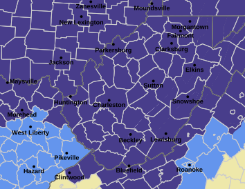
CHARLESTON, W.Va. — The National Weather has issued a freeze warning for the entire state for overnight Saturday into Sunday. The warning is posted for 1 a.m. to 9 a.m. Sunday. Meteorologists said sub-freezing…
-
 Dangerous Freeze Watch Issued for Maryland, DC, West Virginia and New Jersey as Temperatures Plummet
Freeze Watches are in effect from late Saturday night through Sunday morning across western Maryland, West Virginia and northern New Jersey, with lows in the upper 20s to low 30s possible. A strong cold front moves…
-
 More clouds for Front Range with flooding rains heading to southwest Colorado
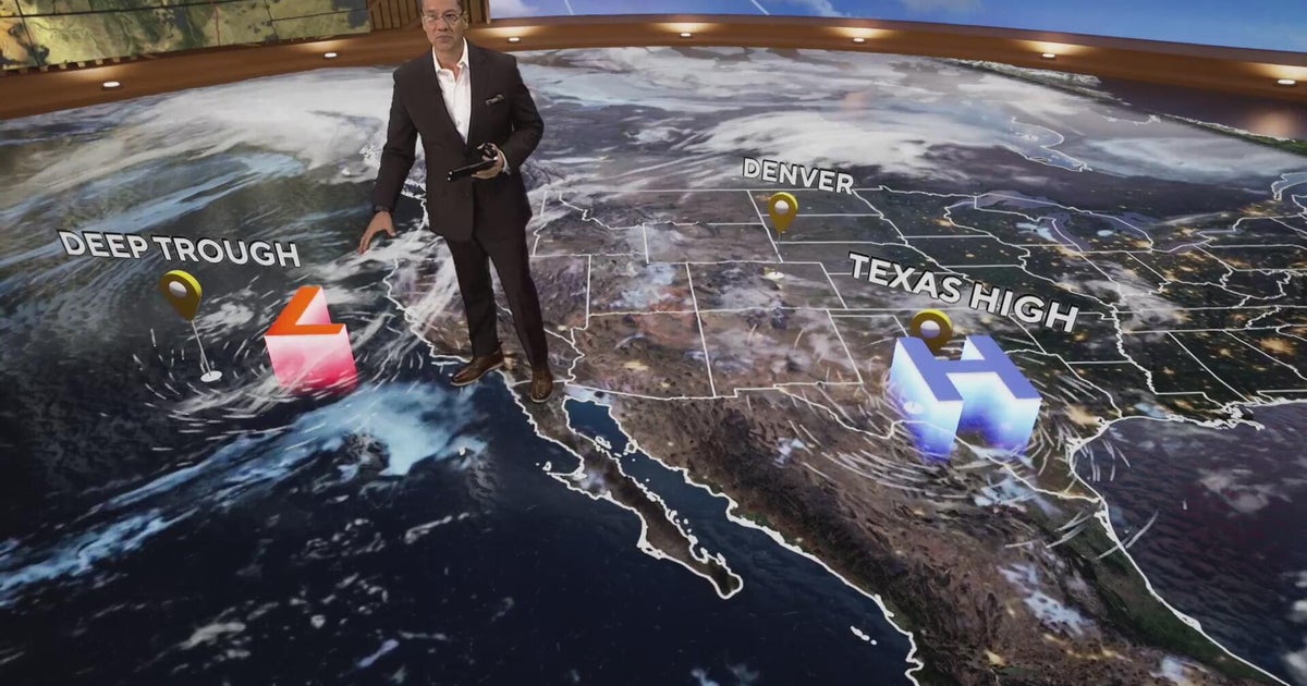
CBS News More clouds for Front Range with flooding rains heading to southwest Colorado MS misdiagnoses raise concerns, Colorado doctors warn of unnecessary treatment risks College bound Coloradans get ready for state…
-
 Tuesday evening First Alert weather forecast - 10/20/26
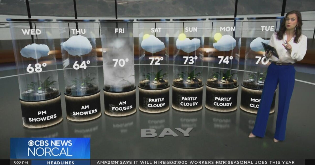
CBS News Tuesday evening First Alert weather forecast - 10/20/26 Becerra, Hilton campaign for California governor in Bay Area 2 weeks out from Election Day Oakland considers raising nuisance property fines to $10,000 a…
-
 Slow-moving system could bring days of heavy rain and flooding to the Bahamas and Florida
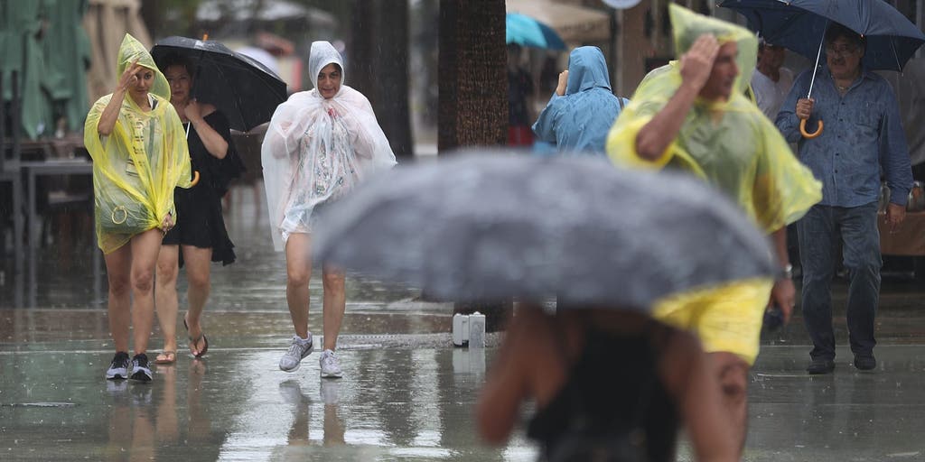
A slow-moving system is developing near the Southwest Atlantic, bringing days of rain to Florida. Some areas could see 3 to 5 inches. A Level 1 out of 4 flash flood risk has been issued for Friday, while a Level 2 out…
-
 Latest Forecast with Chief Meteorologist Mike LaPoint
A quiet weather pattern is expected to continue through the week across North and Central Texas. High temperatures will steadily climb into the mid 80s with only some passing high clouds. No significant rain chances are…
-
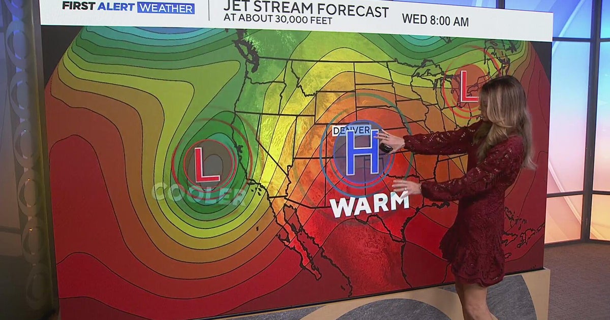 Staying warm and mild for the Denver metro with more mountain rain expected
CBS News Staying warm and mild for the Denver metro with more mountain rain expected Heavy rain, flash flooding expected in southwestern Colorado Colorado Department of Transportation trucks unveiled to protect…
-
 Sunny stretch of weather continues with fall-like temperatures
CBS News - The 5:33 | Legacy of the LIRR Massacre - On The Dot with David Schechter: Wildfires & Climate Change Sunny stretch of weather continues with fall-like temperatures Union workers locked out of largest East…
Air quality
Air quality is satisfactory, and air pollution poses little or no risk.
Forecast
- WedGood (22)
- ThuGood (28)
- FriGood (28)
Western Maryland, MD reporting area · 1 hr ago. Data from AirNow (EPA and its state, local and tribal partners); preliminary and subject to change.
Sun & moon
Almanac
MonthlyRomney 1 Sw, records since 1891. Normals 1991–2020. Data from NOAA's Regional Climate Centers (ACIS).
Nearby
- Cumberland 30 km
- Frostburg 24 km
- Augusta 33 km
- Cresaptown 21 km
- La Vale 28 km
- Potomac Park 24 km
- Petersburg 51 km
- Moorefield 42 km
- Mountain Lake Park 35 km
- Meyersdale 42 km
- Berlin 53 km
Forecasters' discussion
From the National Weather Service office in LWX, issued 1 hr ago
What Has Changed
No changes were made to the forecast overnight.
Key Messages
- 1) Dry conditions and seasonable temperatures are expected through early next week.
Discussion
KEY MESSAGE 1...Dry conditions and seasonable temperatures are expected through early next week.
Surface high pressure continues to build north of the forecast area through the end of the week, yielding dry conditions, seasonal temperatures, and limited cloud cover. High temperatures will be in the 60s to near 70s each day with overnight lows in the 30s to mid 40s.
High pressure will build southward out of southeastern Canada and eastern Great Lakes region Saturday through Tuesday. Dry conditions are expected each day. There could be some areas of frost Saturday morning. Temperatures will start out chilly Saturday with highs 5 to 7 degrees below average and highs generally in the upper 50s to lower 60s. By Sunday, temperatures will be more seasonable. Monday will encounter highs approaching or reaching the 70 degree mark. By Tuesday, temperatures may be knocked down to seasonable once again. Highs in the middle 60s.
Aviation
VFR conditions continue as surface high pressure builds overhead and dry conditions persist. Winds remain primarily out of the north today before shifting to northwesterly on Thursday. On Friday, winds shift to northeasterly. Terminals located near the I-95 corridor will gust around 15 knots each afternoon. Otherwise, terminals can expect light northerly winds, no precipitation, and VFR conditions.
VFR conditions Saturday through Sunday night. Winds light and variable through the period.
Forecasts, observations and alerts in the United States come from the National Weather Service (NOAA); radar from NOAA's Multi-Radar Multi-Sensor system; satellite imagery from NASA's Global Imagery Browse Services (GIBS) and NOAA's GOES satellites; the map from the U.S. Geological Survey's National Map; air quality from AirNow (EPA and its partners); hurricane information from the National Hurricane Center; climate normals and records from NOAA's Regional Climate Centers (ACIS). Forecasts outside the United States and the UV index: MET Norway (CC BY 4.0); observations outside the U.S.: airport reports via NOAA's Aviation Weather Center. Place names: GeoNames (CC BY 4.0). Data are copied on a schedule and may lag the sources; for warnings that affect your safety, follow your local National Weather Service office and emergency officials. Weather news is drawn from the 4Search index and reflects what the press published. Terms of use.