Install
Washburn, WI Weather
Current conditions
Forecast for this hour (no station report in the last two hours)
Forecast
10-day-
Saturday Night
A slight chance of rain showers before 1am. Mostly cloudy, with a low around 48. Southwest wind 5 to 15 mph, with gusts as high as 30 mph.
-
Sunday
Partly sunny, with a high near 54. West wind 5 to 10 mph, with gusts as high as 20 mph.
-
Sunday Night
Partly cloudy, with a low around 40. Northwest wind around 5 mph.
National Weather Service forecast updated 3 days ago.
Hourly
Hourly forecast- Now58°23%
- Sun12 AM56°23%
- 1 AM55°11%
- 2 AM53°11%
- 3 AM51°11%
- 4 AM50°11%
- 5 AM49°11%
- 6 AM48°11%
- 7 AM48°
- 8 AM48°
- 9 AM49°
- 10 AM50°
- 11 AM51°
- 12 PM53°
- 1 PM54°12%
- 2 PM54°12%
- 3 PM54°12%
- 4 PM53°12%
- 5 PM52°12%
- 6 PM50°12%
- 7 PM49°
- 8 PM48°
- 9 PM46°
- 10 PM45°
10-day forecast
Details- TonightOct 20Partly Cloudy48°
- WedOct 21Mostly Sunny42°66°
- ThuOct 22Areas Of Fog then Mostly Sunny48°63°
- FriOct 23Mostly Sunny21%56°69°
- TodayOct 24Slight Chance Rain Showers23%48°70°
- SunOct 25Partly Sunny12%40°54°
- MonOct 26Mostly Sunny36°48°
- TueOct 27Mostly Sunny48°
- WedOct 28Partly cloudy37°51°
- ThuOct 29Partly cloudy40°53°
Days after the National Weather Service's seven are MET Norway's outlook, a computer model with no forecaster's review.
Radar
Full mapWeather news in Wisconsin
More weather news-
 Kevin Corriveau 8:30 p.m. Thursday - Tracking quiet conditions in southern Wisconsin and a look around the country
WMTV 15 NEWS Kevin Corriveau 8:30 p.m. Thursday - Tracking quiet conditions in southern Wisconsin and a look around the country 15+ First Alert Weather Kevin Corriveau 4:30 p.m. Thursday - Tracking above average…
-
 Southeastern Wisconsin Weather - Mild Through the Weekend
High-pressure will keep the nice weather around this weekend — keeping highs in the upper 60s Saturday/Sunday. The weather looks great for World Series Games 1 & 2 — with 60s at tailgating and upper 50s by first pitch…
-
 Fog continues to linger over Northeast Wisconsin
by Pete Petoniak, Fox 11 Director of Meteorology (WLUK) -- Areas of fog are expected again Thursday morning. In some areas, visibility could drop to a quarter mile. While today starts foggy, it will turn mostly sunny in…
-
 Southeast Wisconsin Weather: Mild stretch continues through the World Series weekend
The nice weather continues into the weekend — including for the first two games of the World Series! Highs will be in the 60s both days, but temps will drop into the 50s around first pitch. The next chance for rain…
-
 Delaney Boles 8 p.m. Tuesday - Dry and above-average temperatures expected for southern Wisconsin this week
WMTV 15 NEWS Delaney Boles 8 p.m. Tuesday - Dry and above-average temperatures expected for southern Wisconsin this week 15+ First Alert Weather Tuesday 8:00 PM - Staying Dry and Pleasant Through the Week 9:15 a.m…
-
 Wisconsin 360 Top stories for Tuesday, Oct. 20th: Early voting begins Tuesday
WEAU WEAU Weather @ 12 - Our warm October continues this week with more sunny days ahead INTERVIEW: Shows Coming Up at The Pablo Center LIVE @6:45 - Haunted Hillside Funds Dunn Co. Humane Society LIVE @6:15 - Haunted…
-
 Southeast Wisconsin Weather: Dense fog gives way to sunshine and 60s
Dense fog has formed overnight across much of SE Wisconsin as overnight lows have fallen into the 40s & 50s. The fog is expected to dissipate after sunrise. The beautiful October weather continues today and for the week…
-
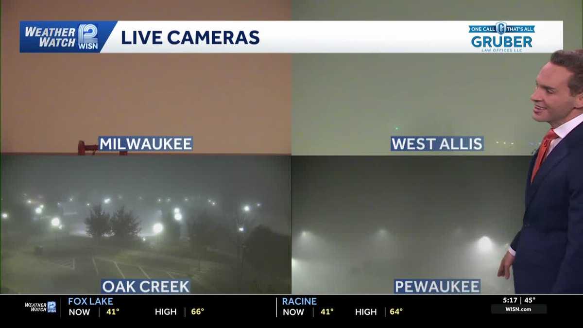 Impact Day: Dense fog in southeast Wisconsin
Dense fog will give way to sunny and comfortable conditions Tuesday across southeast Wisconsin. Areas of dense fog are creating visibility problems across southeastern Wisconsin Tuesday morning, especially for drivers…
-
 Suntabulous and dry weather remains across central Wisconsin through mid week
WSAW Suntabulous and dry weather remains across central Wisconsin through mid week Chances of fog overnight but sunny the next few days Weather remains dry, sunny, warm for the rest of the work week Calm, mild dry week…
- Wisconsin Winter 2026-27: Milwaukee, 55.8-Inch Snow History
NOAA historical maps covering 1950–2009 show that strong El Niño winters have generally favored below-average snowfall across Wisconsin and the broader Upper Midwest. However, those maps do not establish a comparable…
Sun & moon
Almanac
MonthlyAshland 3s, records since 1998. Normals 1991–2020. Data from NOAA's Regional Climate Centers (ACIS).
Nearby
- Ashland 9 km
Forecasters' discussion
From the National Weather Service office in DLH, issued 7 hrs ago
Key Messages
- Showers end tonight from west to east.
- Colder air arrives for Sunday through Tuesday with temperatures closer to normal.
- The pattern turns more active for the coming week with multiple chances for rain (and a little snow) with temperatures warming back above normal for the latter part of the week.
Discussion
Issued at 330 PM CDT Sat Oct 24 2026
Low pressure was located over northern Manitoba early this afternoon with a cold front extending into northwestern Ontario, central Minnesota and western Iowa. A line of showers was observed on radar ahead of this cold front from northeastern Minnesota into central Minnesota. A large area of high pressure was centered over the northeastern CONUS with another area in the northern High Plains. As the cold front moves to the east into tonight, showers will end from west to east. An isolated lightning strike or two cannot be ruled out with this activity, but instability is very limited and lightning activity has ceased after being present earlier this morning. Breezy southerly slow ahead of the cold front has resulted in temperatures warming into the 60s and 70s from the Minnesota Arrowhead into the I-35 corridor and across northwest Wisconsin.
A much more seasonable airmass arrives tonight behind the cold front as high pressure builds in from the west. Highs tomorrow will only be in the upper 40s and 50s with mainly dry conditions. The cold front may linger across northern Wisconsin into southern Minnesota and bring a stray shower or two to our southern row of counties in northwest Wisconsin. With the drier air moving in and northwest winds gusting to 15 to 20 mph across northeastern Minnesota, RH values may fall into the 25 to 35% range during the afternoon. Much of northern Minnesota away from Lake Superior will fall below freezing tomorrow night with mid-20s possible in north-central Minnesota.
High pressure will be to our north on Monday before shifting to the east Monday night into Tuesday. Surface low pressure will move from the Central Plains to the Red River Valley of the North Monday night into Tuesday and bring chances for showers to the region starting Monday night. Another upper low will emerge from the Rockies Tuesday night into Wednesday with another area of surface low pressure developing across the Northern Plains. This will keep chances for showers in place across the Northland into Wednesday afternoon. Additional rainfall chances will then be seen for the end of the week. Highs Monday and Tuesday will be in the 40s and 50s before warming into the 50s and 60s for the remainder of the week. With lows Monday night into Tuesday morning falling below freezing across northern Minnesota, so snow may mix with the rain or possibly change over to all snow for a brief period before temperatures trend warmer after sunrise Tuesday morning. No accumulations are expected, but don't be surprised to see some white stuff in the air in spots early Tuesday morning.
Aviation
Issued at 1255 PM CDT Sat Oct 24 2026
A line of showers currently extends from northeastern Minnesota southwest into the Brainerd Lakes area with MVFR conditions prevailing under this activity. A few pockets of IFR ceilings are present as well, but this is expected to be short lived. Lightning activity has dropped to almost nothing, but an isolated strike or two cannot be ruled out as activity moves to the east. VSBYs will drop to MVFR for a period as the heaviest area of showers moves through before returning to VFR. Ceilings are expected to rise to VFR following the showers with VFR prevailing thereafter. Gusty southwesterly winds will turn northwesterly as a cold front passes through this afternoon and evening and then decrease to under 10 knots for the overnight hours.
Marine
Issued at 1255 PM CDT Sat Oct 24 2026
Southwesterly winds gusting to 20 to 25 knots will continue this afternoon before turning northwesterly and diminishing this evening into tonight as a cold front moves through. Small Craft Advisories remain in effect this afternoon, but are expected to end by early evening as winds diminish. A line of showers will be ahead of the cold front and a few isolated lightning strikes cannot be ruled out in this activity. Westerly to southwesterly winds of 10 to 15 knots are expected for Sunday with a few gusts to 20 knots possible along parts of the North Shore. Winds then swing around out of the northeast for Monday at 10 to 20 knots, highest in the western arm of the lake.
For the open water discussion, refer to the NWS Marquette Area Forecast Discussion at weather.gov/mqt.
Forecasts, observations and alerts in the United States come from the National Weather Service (NOAA); radar from NOAA's Multi-Radar Multi-Sensor system; satellite imagery from NASA's Global Imagery Browse Services (GIBS) and NOAA's GOES satellites; the map from the U.S. Geological Survey's National Map; air quality from AirNow (EPA and its partners); hurricane information from the National Hurricane Center; climate normals and records from NOAA's Regional Climate Centers (ACIS). Forecasts outside the United States and the UV index: MET Norway (CC BY 4.0); observations outside the U.S.: airport reports via NOAA's Aviation Weather Center. Place names: GeoNames (CC BY 4.0). Data are copied on a schedule and may lag the sources; for warnings that affect your safety, follow your local National Weather Service office and emergency officials. Weather news is drawn from the 4Search index and reflects what the press published. Terms of use.