Install
Mukwonago, WI Weather
Current conditions
Forecast for this hour (no station report in the last two hours)
Forecast
10-day-
Thursday Night
Patchy fog between 11pm and 2am. Mostly clear, with a low around 47. South wind 0 to 5 mph.
-
Friday
Mostly sunny, with a high near 69. South wind 0 to 5 mph.
-
Friday Night
Partly cloudy, with a low around 49. Southeast wind around 5 mph.
National Weather Service forecast updated 1 day ago.
Hourly
Hourly forecast- Now48°
- 6 AM48°
- 7 AM48°
- 8 AM51°
- 9 AM55°
- 10 AM59°
- 11 AM62°
- 12 PM65°
- 1 PM67°
- 2 PM69°
- 3 PM69°
- 4 PM69°
- 5 PM66°
- 6 PM63°
- 7 PM60°
- 8 PM58°
- 9 PM56°
- 10 PM54°
- 11 PM53°
- Sat12 AM53°
- 1 AM53°
- 2 AM52°
- 3 AM51°
- 4 AM51°
10-day forecast
Details- WedOct 21Patchy Fog then Sunny47°70°
- ThuOct 22Patchy Fog then Sunny47°70°
- TodayOct 23Mostly Sunny49°69°
- SatOct 24Mostly Sunny52°69°
- SunOct 25Partly Sunny12%48°69°
- MonOct 26Mostly Cloudy then Slight Chance Rain Showers26%42°60°
- TueOct 27Slight Chance Rain Showers then Partly Sunny20%40°55°
- WedOct 28Cloudy0.31 in48°62°
- ThuOct 29Rain0.44 in38°58°
- FriOct 30Sunny35°53°
Days after the National Weather Service's seven are MET Norway's outlook, a computer model with no forecaster's review.
Radar
Full mapWeather news near Mukwonago
More weather news-
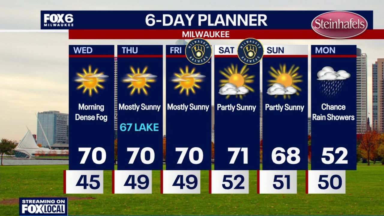 Milwaukee weather: Dense fog again overnight
FOX6 News Milwaukee Dense fog will overnight. Temperatures will drop into the 40s by sunrise. Morning dense fog on Wednesday with skies becoming mostly sunny. It will be warmer with a high around 70. Mostly sunny on…
-
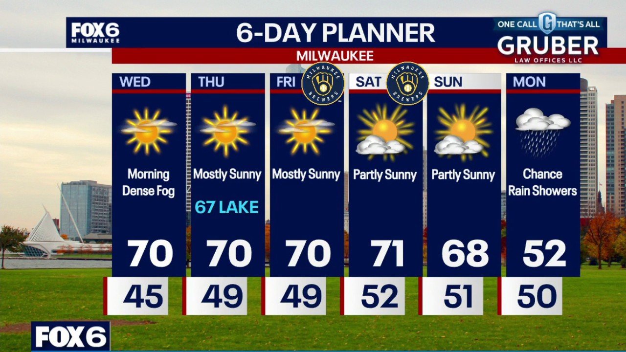 Milwaukee weather: Dense fog again tonight
FOX6 News Milwaukee Dense fog will develop again tonight. Temperatures will drop through the 50s this evening and into the 40s overnight. Morning dense fog on Wednesday with skies becoming mostly sunny. It will be…
-
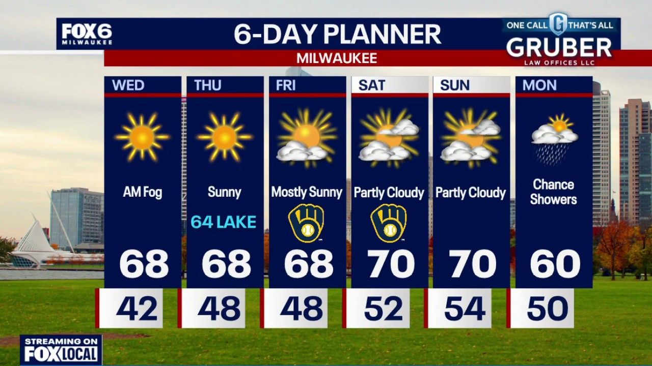 Milwaukee weather: Dense fog possible tonight
FOX6 News Milwaukee Another round of dense fog possible tonight and Wednesday morning, then we're back to sunshine and comfortable temperatures. Rain chances return Monday, along with a temperature drop!
-
 Milwaukee Weather: Patchy fog then sunny and mild
Today: Patchy morning fog then sunny and mild.High: 70°Wind: SW 3-7 Tonight: Fog.Low: 48°Wind: Calm Thursday: Mostly sunny.High: 70° / 66° LAKE. Wind: ENE 5-10 Friday: 66 LAKE. Mostly sunny.AM Low: 48° High: 70°Wind…
- Wisconsin Winter 2026-27: Milwaukee, 55.8-Inch Snow History
NOAA historical maps covering 1950–2009 show that strong El Niño winters have generally favored below-average snowfall across Wisconsin and the broader Upper Midwest. However, those maps do not establish a comparable…
- Milwaukee Weather: Dense AM fog, dry week
MILWAUKEE - DENSE FOG ADVISORY IN EFFECT Today: 62 LAKE. AM dense fog then sunny.High: 66°Wind: SE 5-10 Tonight: Fog possible.Low: 43°Wind: SW 3-5 Wednesday: AM dense fog. Mostly sunny and mild.High: 68°Wind: SW 5-10…
-
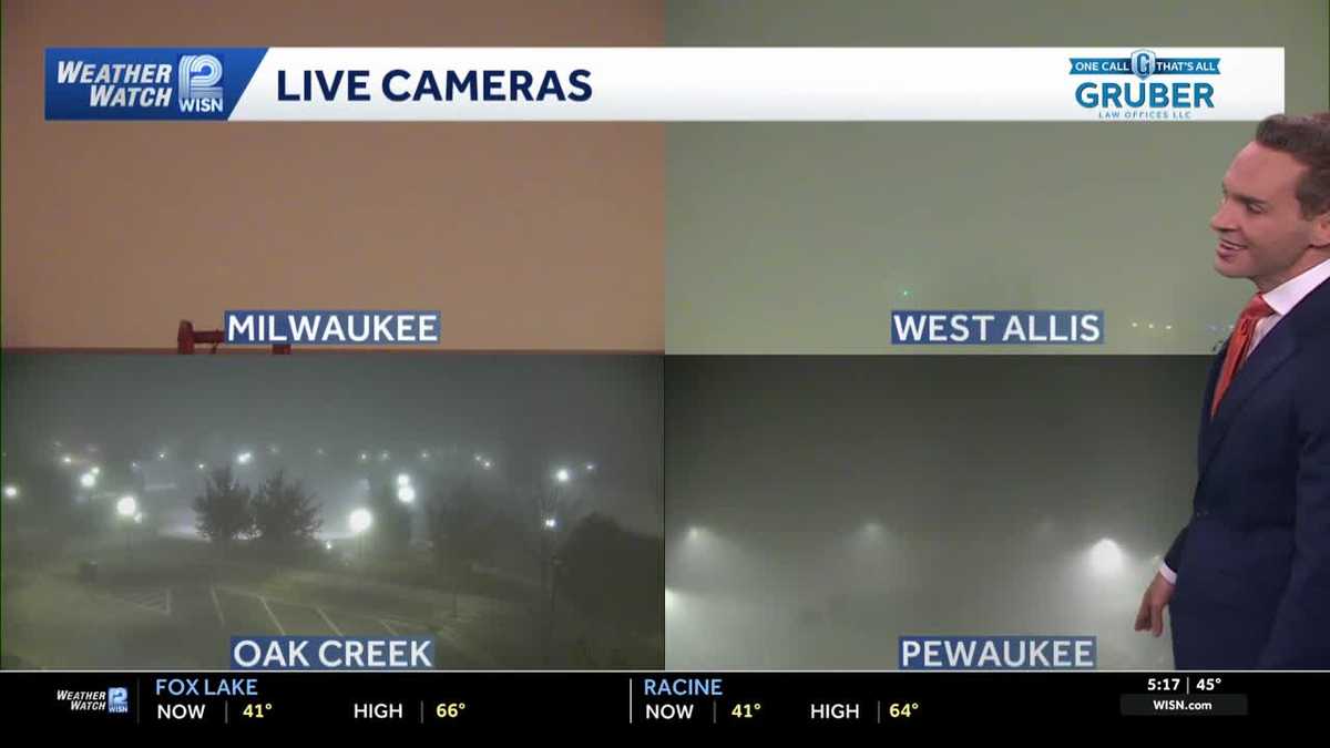 Impact Day: Dense fog in southeast Wisconsin
Dense fog will give way to sunny and comfortable conditions Tuesday across southeast Wisconsin. Areas of dense fog are creating visibility problems across southeastern Wisconsin Tuesday morning, especially for drivers…
-
 Thanksgiving Week Weather Forecast 2026: Old Farmer's Almanac Map Reveals Where Snow Could Fall
The Thanksgiving Week Weather Forecast 2026 from The Old Farmer's Almanac identifies six regions where snow could fall during the holiday period, the Northeast, Atlantic Corridor, Appalachians, Lower Lakes, Upper…
-
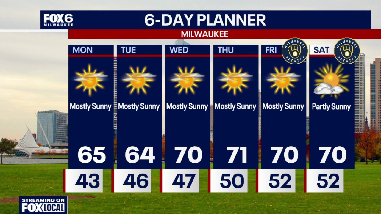 Milwaukee weather: Sunny this week, 70s return Wednesday
FOX6 News Milwaukee
- Milwaukee Weather: Breezy but sunny Sunday
MILWAUKEE - Forecast from FOX6 Meteorologist Lisa Michaels Today: Sunny. Breezy.High: 63°Wind: SW 10-25 Monday: Mostly sunny.High: 65°Wind: SW 5-10 Tuesday: Mostly sunny. Slightly cooler lakeside.AM Low: 42° High…
Air quality
Acceptable. Unusually sensitive people should consider limiting prolonged outdoor exertion.
Forecast
- FriModerate
- SatModerate
- SunModerate
Kettle Moraine South, WI reporting area · 1 hr ago. Data from AirNow (EPA and its state, local and tribal partners); preliminary and subject to change.
Sun & moon
Almanac
MonthlyWaukesha Wwtp, records since 1894. Normals 1991–2020. Data from NOAA's Regional Climate Centers (ACIS).
Nearby
- Milwaukee 40 km
- Kenosha 52 km
- Racine 48 km
- Waukesha 18 km
- Janesville 60 km
- West Allis 31 km
- Wauwatosa 33 km
- New Berlin 22 km
- Brookfield 28 km
- Greenfield 28 km
- Franklin 24 km
- Menomonee Falls 39 km
Forecasters' discussion
From the National Weather Service office in MKX, issued 6 hrs ago
Key Messages
- Low clouds and areas of fog will continue tonight into Friday morning.
- Above normal temperatures and dry conditions will continue into the weekend.
- Temperatures trending cooler for early next week with northeast winds. There are some chances (20 to 30 percent) for showers for the middle to later portions of next week.
Short Term
Issued 1151 PM CDT Thu Oct 22 2026
Tonight through Saturday:
Areas of fog will likely continue in the east into Friday morning and will be dense at times. The current Dense Fog Advisory runs until 10 am Friday and may need to be expanded a bit to the north and south based on latest webcams and observations. Latest models show that the bulk of the fog and low clouds should dissipate by mid-morning tomorrow, but wouldn't be surprised to see these conditions hang around in a few spots through late morning given the light winds. Southerly winds are expected to pick up a bit by the afternoon on the back side of high pressure, which should help to get rid of any lingering fog.
Temperatures will likely be slow to warm in the east tomorrow given the lingering clouds/fog, but there should be enough sunshine in the afternoon for highs back up in the upper 60s to near 70. Highs in the 71-74 range area likely in the west given more sunshine.
Southerly winds will persist Friday night into Saturday, as the high to the east isn't expected to budge. Though a fair amount of high clouds are likely Saturday, enough filtered sunshine is expected for highs around 70 again given the continued warm southerly low level flow.
DDV
Long Term
Issued 1151 PM CDT Thu Oct 22 2026
Sunday through Thursday:
Low pressure passing by well to the northeast on Sunday will drag a cold front through southern Wisconsin by the afternoon and/or evening hours. There should be enough time ahead of the front for southerly winds through at least the first half of the day, so another mild day is expected. Winds will shift to northerly behind the front later in the day, with cooler conditions then expected on Monday. Not expecting much moisture as this system moves through, so kept the dry forecast for Sunday and Monday.
Temps will remain cooler Tuesday, though likely still near or a couple degrees above normal for late October. A shortwave will lift through the region Tuesday into Tuesday night, though the main forcing and moisture is likely to remain north of the forecast area per latest models. Only have 10-20 percent chance for rain in the northwest as this system slides by to the north.
DDV
Aviation
Issued 1151 PM CDT Thu Oct 22 2026
Areas of fog will likely continue in the east into Friday morning and will be dense at times. Latest models show that the bulk of the fog and low clouds should dissipate by mid-morning tomorrow, but wouldn't be surprised to see these conditions hang around in a few spots through late morning given the light winds. Southerly winds are expected to pick up a bit by the afternoon on the back side of high pressure, which should help to get rid of any lingering fog. VFR conditions are then expected Friday afternoon into Friday night.
DDV
Forecasts, observations and alerts in the United States come from the National Weather Service (NOAA); radar from NOAA's Multi-Radar Multi-Sensor system; satellite imagery from NASA's Global Imagery Browse Services (GIBS) and NOAA's GOES satellites; the map from the U.S. Geological Survey's National Map; air quality from AirNow (EPA and its partners); hurricane information from the National Hurricane Center; climate normals and records from NOAA's Regional Climate Centers (ACIS). Forecasts outside the United States and the UV index: MET Norway (CC BY 4.0); observations outside the U.S.: airport reports via NOAA's Aviation Weather Center. Place names: GeoNames (CC BY 4.0). Data are copied on a schedule and may lag the sources; for warnings that affect your safety, follow your local National Weather Service office and emergency officials. Weather news is drawn from the 4Search index and reflects what the press published. Terms of use.