Install
Walla Walla, WA Weather
Current conditions
Forecast for this hour (no station report in the last two hours)
Forecast
10-day-
Friday
Mostly sunny. High near 59, with temperatures falling to around 56 in the afternoon. Southwest wind 3 to 9 mph.
-
Friday Night
Widespread frost after 11pm. Mostly clear. Low around 31, with temperatures rising to around 33 overnight. Southeast wind 2 to 7 mph.
-
Saturday
Widespread frost before 11am. Mostly sunny, with a high near 61. North wind around 2 mph.
National Weather Service forecast updated 7 hrs ago.
Hourly
Hourly forecast- Now44°
- 8 AM44°
- 9 AM47°
- 10 AM49°
- 11 AM52°
- 12 PM54°
- 1 PM57°
- 2 PM57°
- 3 PM58°
- 4 PM58°
- 5 PM56°
- 6 PM54°
- 7 PM49°
- 8 PM44°
- 9 PM42°
- 10 PM41°
- 11 PM40°
- Sat12 AM38°
- 1 AM37°
- 2 AM36°
- 3 AM34°
- 4 AM33°
- 5 AM33°
- 6 AM32°
10-day forecast
Details- TonightOct 22Slight Chance Rain Showers15%44°
- TodayOct 23Mostly Sunny31°59°
- SatOct 24Widespread Frost then Mostly Sunny34°61°
- SunOct 25Mostly Sunny then Slight Chance Rain Showers31%36°61°
- MonOct 26Chance Rain Showers54%36°57°
- TueOct 27Chance Rain Showers43%34°57°
- WedOct 28Slight Chance Rain Showers16%32°57°
- ThuOct 29Slight Chance Rain Showers15%54°
- FriOct 30Partly cloudy39°53°
- SatOct 31Partly cloudy42°58°
Days after the National Weather Service's seven are MET Norway's outlook, a computer model with no forecaster's review.
Radar
Full mapWeather news near Walla Walla
More weather news-
 Round of winds with fire & dust concerns Saturday, otherwise a nice weekend
First Alert Weather 10-17-26 Look below to read more! 1. Blowing dust, fires possible Saturday Here we go again, folks. Another cold front will bring us another round of winds on Saturday. Peak gusts for lower…
-
 Cold front brings winds, fire, & dust concerns for Saturday---cooler weather by Sunday
Look below to read more! 1. Blowing dust, fires possible Saturday Here we go again, folks. Another cold front will bring us another round of winds on Saturday. Peak gusts for lower elevations could be anywhere between…
-
 First Serious Freeze and Frost Possible Tonight, Friday for Oregon, Washington
Published 10/22/2026 at 8:55 p.m. By Oregon Coast Beach Connection Staff The National Weather Service (NWS) in both states have issued a bundle of advisories that involve “brrrrr” as the operative word. Not all of it is…
-
 Washington DC weather forecast: Sunny autumn day with highs of 19°C and low of 3°C on October 23, 2026
Washington DC, October 23, 2026. Today brings a lovely autumn day to the capital. Residents can expect mostly sunny skies with a welcoming high temperature of 19°C and a notable low of 3°C. With just ... Washington DC…
-
 Dangerous Frost Warning Issued for 30+ Counties in Washington and Oregon as Temperatures Drop Fast
NWS Portland has issued Frost Advisories for two straight nights, Thursday night and Friday night, across northwest Oregon and southwest Washington. A Freeze Watch is also in effect Friday night for the Willamette…
-
 Washington DC weather forecast: Sunny autumn day with highs of 22°C and no rain
Washington DC, October 22, 2026. Today, residents can expect a delightful day characterized by plenty of sunshine, with maximum temperatures reaching around 22°C and a comfortable minimum of 9°C. Washington DC, October…
-
 Enjoy a sunny day in Washington DC with temperatures reaching 21°C and no rain forecasted
The Times of India Today, in Washington DC, residents can expect a day filled with plenty of sunshine The temperature is likely to peak at a comfortable 21°C while dipping to a cooler 6°C at night With no chance of…
-
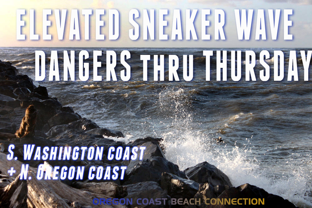 Elevated Sneaker Wave Threat Along N. Oregon Coast, S. Washington Coast
Published 10/20/2026 at 7:55 p.m. By Oregon Coast Beach Connection Staff (Waldport, Oregon) – The National Weather Service (NWS) is saying there is an increased threat of sneaker waves on the northern half of the Oregon…
-
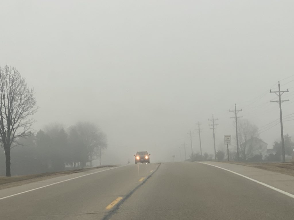 Dense fog advisory until 8 a.m. in Washington and surrounding counties
October 20, 2026 – Headlights are a must this morning as dense fog blankets Washington County and surrounding communities. My grandmother would say “it’s thick as pea soup.” What was your grandma’s saying for foggy…
-
 Week Ahead in Washington: Week of October 18
KY3 Week Ahead in Washington: Week of October 18 Woman kills husband, 3-year-old son at Great Wolf Lodge, police say Firefighters warn carbon monoxide alarms save lives as cold weather increases heating use Missouri Fan…
Air quality
Air quality is satisfactory, and air pollution poses little or no risk.
Forecast
- FriGood
Walla Walla, WA reporting area · 1 hr ago. Data from AirNow (EPA and its state, local and tribal partners); preliminary and subject to change.
Sun & moon
Almanac
MonthlyWalla Walla Regional Ap, records since 1949. Normals 1991–2020. Data from NOAA's Regional Climate Centers (ACIS).
Nearby
- Pendleton 56 km
- College Place 4 km
- Milton-Freewater 15 km
- Finley 54 km
- Burbank 54 km
- Highland 60 km
- Dayton 41 km
Forecasters' discussion
From the National Weather Service office in PDT, issued 2 hrs ago
Key Messages
- Drier conditions as we head into the later overnight hours, with a ridge aloft promoting drier conditions to continue through Saturday.
- Wind advisories continue through tonight and through the morning. Freezing temperatures possible Friday night into Saturday.
- Wetter, cooler conditions through next week with the next weather system bringing another round of rain across the region.
Discussion
As the low pressure system located across California and Nevada continues to move towards the east, conditions will continue to dry out of the area headed into the overnight hours. Previous precipitation from the system has brought wetting rains across portions of the Foothills of the Blues, Northern Blue Mountains, Eastern Mountains, Grande Ronde Valley, and parts of the John Day Basin. Surface observations have recorded up to a quarter of an inch of rain in most places, with locations further east up to a half an inch. Current radar displays rain continuing to lighten up across the eastern portion of the CWA and will dry out over the next few hours. Wind advisories persist over the Kittitas, Gorge, and North Central ORegon with tight pressure gradients continuing to bring gusts up to 40-45 mph.
Guidance is in good agreement that a low amplitude ridge aloft will dry out the region through Saturday (80-90% chance), leaving clear and dry conditions with light winds. This results in effective radiation cooling in the overnight hours, that will drop temps below freezing in much of the area. Given that, a Freeze Watch has been issued for the remaining forecast zones that are eligible and will most likely (70-90% chance) result in a season ending freeze. If freezing temps verify Friday night into Saturday, the Freeze Warning products for our area will be discontinued for each verified forecast zone until sometime in the Spring of 2027.
Guidance is in good agreement that our next weather potential will be from a developing shortwave over the Gulf of Alaska that will drift down into the PacNW by next week. As far as strength and impacts go, ensembles are split into how it wants to evolve the system. By Monday, 44% of clusters (which are heavily Canadian and European models) brings a more elongated trough with a slight negative axis over the PacNW, while the 38% brings a slower shortwave and delays the impacts until Tuesday. The differences in clusters becomes greater by Tuesday with 49% promoting a stronger/wetter shortwave that are primarily GFS models, while 28% promotes a weaker/drier shortwave that is primarily EURO solutions. Plenty of time to monitor for impacts with this evolving system, but not currently seeing any significant QPF amounts at this time.
Aviation
VFR conditions with most precipitation moving out of the TAF sites. Expecting drier conditions through the overnight hours as the prevailing weather system moves out the region. Might see some lower decks develop at RDM, BDN, and ALW with a small chance (5-15%) that we'll see MVFR conditions in the later overnight hours. Gusty and breezy winds continue for most of the sites, but will see winds decrease as e head into the late morning to early afternoon hours.
Pdt Watches
WA...Wind Advisory until 11 AM PDT this morning for WAZ024-026. Freeze Watch from this evening through Saturday morning for WAZ024-027>029. OR...Wind Advisory until 11 AM PDT this morning for ORZ041-510. Freeze Watch from this evening through Saturday morning for ORZ041-044-507.
Forecasts, observations and alerts in the United States come from the National Weather Service (NOAA); radar from NOAA's Multi-Radar Multi-Sensor system; satellite imagery from NASA's Global Imagery Browse Services (GIBS) and NOAA's GOES satellites; the map from the U.S. Geological Survey's National Map; air quality from AirNow (EPA and its partners); hurricane information from the National Hurricane Center; climate normals and records from NOAA's Regional Climate Centers (ACIS). Forecasts outside the United States and the UV index: MET Norway (CC BY 4.0); observations outside the U.S.: airport reports via NOAA's Aviation Weather Center. Place names: GeoNames (CC BY 4.0). Data are copied on a schedule and may lag the sources; for warnings that affect your safety, follow your local National Weather Service office and emergency officials. Weather news is drawn from the 4Search index and reflects what the press published. Terms of use.