Install
Lacey, WA Weather
Current conditions
Forecast for this hour (no station report in the last two hours)
Forecast
10-day-
Thursday Night
Mostly cloudy. Low around 38, with temperatures rising to around 40 overnight. West northwest wind 0 to 3 mph.
-
Friday
Mostly sunny, with a high near 59. North northeast wind around 2 mph.
-
Friday Night
Partly cloudy, with a low around 35. East southeast wind around 2 mph.
National Weather Service forecast updated 1 day ago.
Hourly
Hourly forecast- Now40°
- 6 AM39°
- 7 AM38°
- 8 AM38°
- 9 AM41°
- 10 AM45°
- 11 AM50°
- 12 PM53°
- 1 PM56°
- 2 PM58°
- 3 PM59°
- 4 PM59°
- 5 PM57°
- 6 PM54°
- 7 PM50°
- 8 PM46°
- 9 PM44°
- 10 PM42°
- 11 PM41°
- Sat12 AM40°
- 1 AM40°
- 2 AM39°
- 3 AM38°
- 4 AM38°
10-day forecast
Details- TonightOct 21Partly Cloudy38°
- ThuOct 22Partly Sunny11%38°60°
- TodayOct 23Mostly Sunny35°59°
- SatOct 24Light Rain Likely62%39°55°
- SunOct 25Chance Light Rain47%38°58°
- MonOct 26Chance Light Rain35%39°58°
- TueOct 27Slight Chance Light Rain25%38°58°
- WedOct 28Chance Light Rain25%57°
- ThuOct 29Cloudy43°60°
- FriOct 30Cloudy41°61°
Days after the National Weather Service's seven are MET Norway's outlook, a computer model with no forecaster's review.
Radar
Full mapWeather news near Lacey
More weather news-
 What is the Heat Dome? Breaking Down the Extreme Heat | Beyond the Forecast
Oklahoma's Own Kyle Wilson is living his childhood dream of tracking storms across the state. Working in tandem with Meteorologists David Payne and Lacey Swope, Wilson, along with his father have saved countless lives…
-
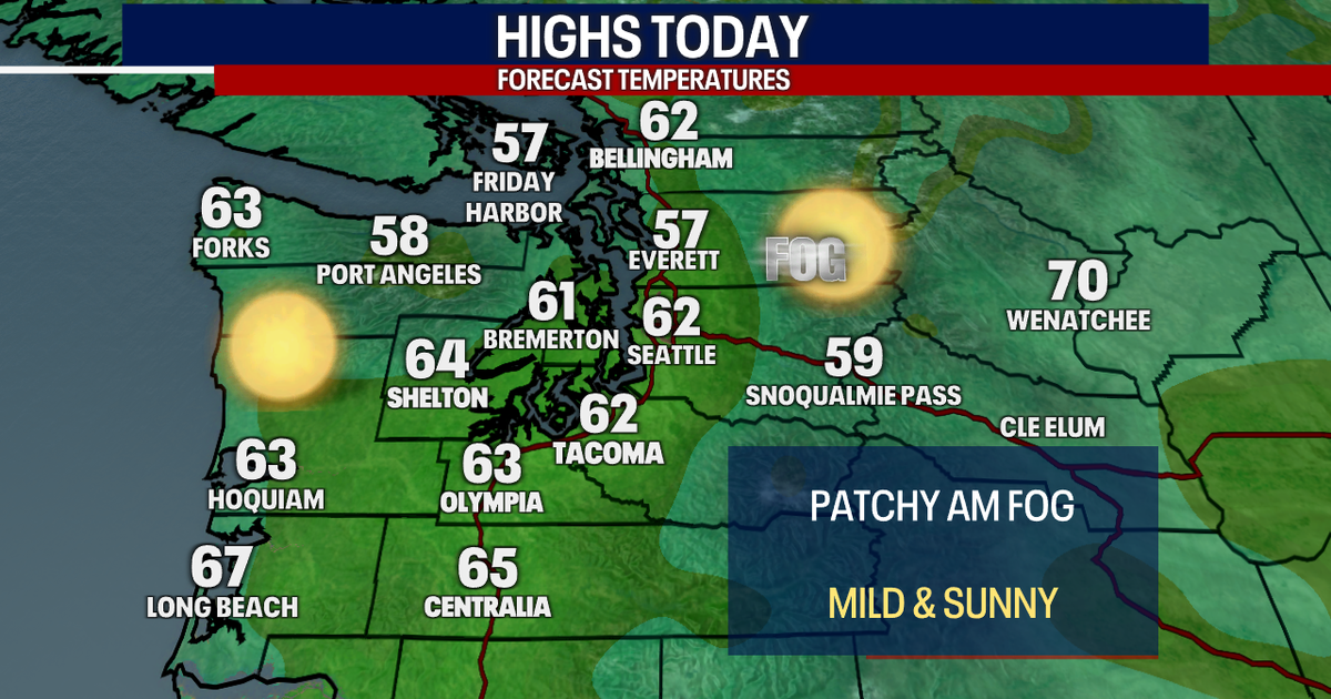 Seattle weather: Sunny and mild to start this week, dry weather ahead
FOX 13 Seattle Meteorologist Claire Anderson has your latest western Washington weather forecast. Nice and dry weather throughout this week with plenty of sunshine. Tuesday will be another mild day with highs in the low…
-
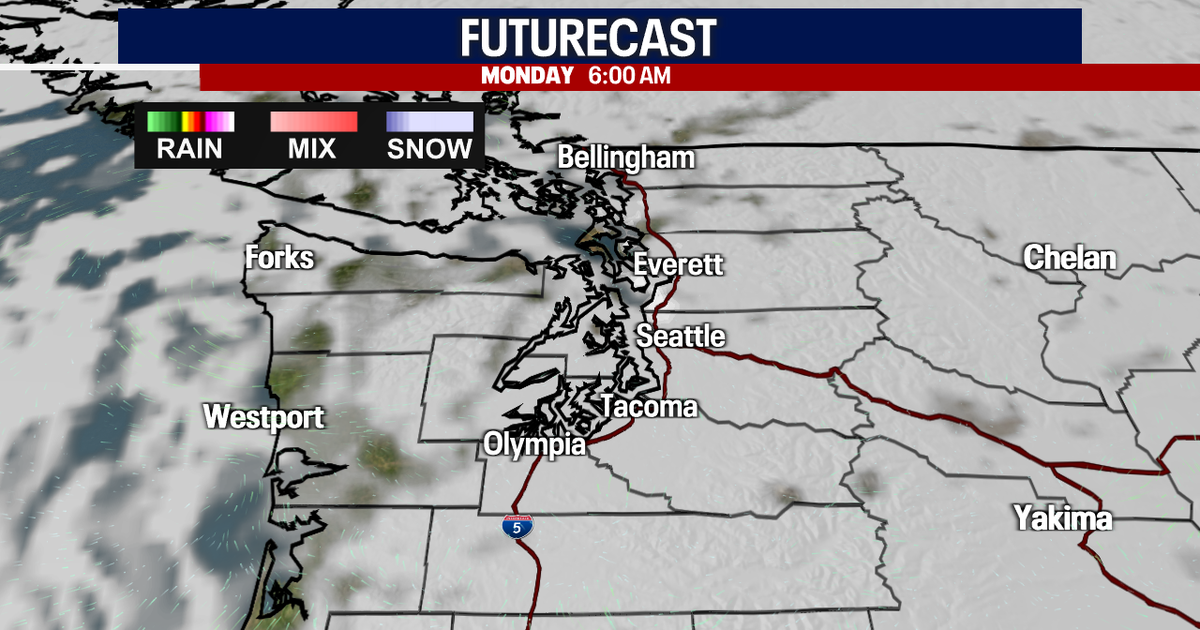 Sunny Sunday, clouds move in Monday
FOX 13 reporter Jennifer Dowling has your seven day forecast Seattle - Sunday’s foggy conditions in low-lying areas were gone by late morning, giving way to mostly sunny skies. Sunday's high temperatures will hit close…
- Frost advisory for North Clark County Lowlands and South Cascades for Sunday
Tacoma News Tribune The creation of this content included the use of AI based on templates created, reviewed and edited by journalists in the newsroom. Read more on our AI policy here. At 5:21 p.m. on Saturday, the NWS…
-
 Lacey Swope's Friday Outdoor Forecast (Oct. 16, 2026)
Lacey Swope’s Friday Outdoor Forecast (Oct. 16, 2026) News 9 Lacey Swope’s Friday Outdoor Forecast (Oct. 16, 2026) News 9 Meteorologist Lacey Swope has your Friday Outdoor Forecast.
- Memphis Weather Forecast: 93° Heat, Storm Chance, Friday Cooldown
Tuesday will be sunny with a high near 93 degrees and southwest winds of 5 to 10 mph. The National Weather Service in Memphis says heat-index values could reach 100, so afternoon errands, outdoor work and exercise will…
-
 First Serious Freeze and Frost Possible Tonight, Friday for Oregon, Washington
Published 10/22/2026 at 8:55 p.m. By Oregon Coast Beach Connection Staff The National Weather Service (NWS) in both states have issued a bundle of advisories that involve “brrrrr” as the operative word. Not all of it is…
-
 Washington DC weather forecast: Sunny autumn day with highs of 19°C and low of 3°C on October 23, 2026
Washington DC, October 23, 2026. Today brings a lovely autumn day to the capital. Residents can expect mostly sunny skies with a welcoming high temperature of 19°C and a notable low of 3°C. With just ... Washington DC…
-
 Dangerous Frost Warning Issued for 30+ Counties in Washington and Oregon as Temperatures Drop Fast
NWS Portland has issued Frost Advisories for two straight nights, Thursday night and Friday night, across northwest Oregon and southwest Washington. A Freeze Watch is also in effect Friday night for the Willamette…
-
 Washington DC weather forecast: Sunny autumn day with highs of 22°C and no rain
Washington DC, October 22, 2026. Today, residents can expect a delightful day characterized by plenty of sunshine, with maximum temperatures reaching around 22°C and a comfortable minimum of 9°C. Washington DC, October…
Air quality
Air quality is satisfactory, and air pollution poses little or no risk.
Forecast
- FriGood (28)
- SatGood (39)
- SunGood (22)
Olympia-Lacey-Tumwater, WA reporting area · 1 hr ago. Data from AirNow (EPA and its state, local and tribal partners); preliminary and subject to change.
Sun & moon
Almanac
MonthlyOlympia Area, records since 1948. Normals 1991–2020. Data from NOAA's Regional Climate Centers (ACIS).
Nearby
- Tacoma 38 km
- Kent 59 km
- Federal Way 50 km
- Auburn 54 km
- Lakewood 28 km
- Olympia 6 km
- South Hill 44 km
- Puyallup 44 km
- Parkland 32 km
- University Place 30 km
- Des Moines 56 km
- Spanaway 30 km
Forecasters' discussion
From the National Weather Service office in SEW, issued 2 hrs ago
Synopsis
High pressure aloft will provide another day of dry conditions for Western Washington today. An area of low pressure moving southward from the British Columbia coast will bring some rain to the region later Saturday into the early portion of next week. Drier conditions are expected to return by the middle of next week as the low pressure system moves eastward.
Short Term
High pressure aloft will briefly rebuild into Western Washington today for a dry day ahead and near seasonal temperatures. An area of low pressure sliding south from the British Columbia coast is still slated to begin to affect the area later Saturday into Sunday. Models still remain at odds with respect to its track, but there's enough consensus to warrant likely to categorical PoPs for the coast and Olympic Peninsula Saturday night into Sunday. Some QPF is expected to make it into Puget Sound on Sunday, but present thinking is that it will remain rather light. Temperatures through the short term period will hover within a couple degrees of normal for the final week of October.
Long Term
Upper troughing remains over the Pacific Northwest Sunday night into Monday for a lingering chance of precip...mostly focused on the southern half of the CWA. The upper trough is expected to shift eastward on Tuesday, but confidence in the forecast trails off by the middle of the coming week as ensembles begin to diverge somewhat from what they featured just a day ago. The GFS suite of solutions have a stronger influence of upper troughing over the region while the ECMWF height anomalies would keep broad upper troughing just offshore of California. To be clear, neither of these is a particularly wet scenario for Western Washington, but it lends enough uncertainty to retain some generic low chance PoPs for much of the CWA...and that's exactly what the NBM is using in the forecast. Temperatures are expected to remain generally seasonal, but chances for some sub-freezing overnight lows in the Southwest Interior and outlying areas increase toward the middle/later portion of next week.
27
Aviation
Northwesterly flow aloft in the wake of an exiting trough expected to remain that way throughout the day and into Saturday. Surface winds at all terminals light and variable this early morning with northerly winds expected to develop by this afternoon with speeds ranging 4-8 kts. Light and variable winds expected again tonight.
Much like the past few days, most of W WA remains VFR with ridging building in. The clear skies that come with that are also responsible for the islands of MVFR/IFR/LIFR thanks to low cigs and fog. Some mid-level clouds helping to prevent fog at some of the terminals, however the terminals that have been the most problematic this past week...OLM and BLI...showing enough hints that while IFR/LIFR may not be the dominant conditions, confidence is not there to remove fog entirely. Thus, will opt for TEMPO groups to cover worst case scenario. Any low cigs that develop should be gone by 18Z, with widespread VFR conditions returning.
KSEA...Cigs expected to sink a little further, but generally will remain between 4000-5000 ft. Forecast confidence on cigs any lower than this still hovers around 30 pct, so will leave that out of the forecast for the time being. Clearing skies expected around 18Z with VFR persisting into overnight tonight.
18
Forecasts, observations and alerts in the United States come from the National Weather Service (NOAA); radar from NOAA's Multi-Radar Multi-Sensor system; satellite imagery from NASA's Global Imagery Browse Services (GIBS) and NOAA's GOES satellites; the map from the U.S. Geological Survey's National Map; air quality from AirNow (EPA and its partners); hurricane information from the National Hurricane Center; climate normals and records from NOAA's Regional Climate Centers (ACIS). Forecasts outside the United States and the UV index: MET Norway (CC BY 4.0); observations outside the U.S.: airport reports via NOAA's Aviation Weather Center. Place names: GeoNames (CC BY 4.0). Data are copied on a schedule and may lag the sources; for warnings that affect your safety, follow your local National Weather Service office and emergency officials. Weather news is drawn from the 4Search index and reflects what the press published. Terms of use.