Install
East Renton Highlands, WA Weather
Current conditions
Observed at Renton Municipal Airport · 30 min ago
Forecast
10-day-
Today
A chance of rain. Mostly cloudy. High near 54, with temperatures falling to around 52 in the afternoon. South southwest wind 1 to 10 mph. Chance of precipitation is 50%. New rainfall amounts less than a tenth of an inch possible.
-
Tonight
Rain. Cloudy. Low around 43, with temperatures rising to around 45 overnight. South southwest wind around 10 mph, with gusts as high as 22 mph. Chance of precipitation is 100%. New rainfall amounts between a tenth and quarter of an inch possible.
-
Wednesday
Rain. Mostly cloudy. High near 52, with temperatures falling to around 50 in the afternoon. South wind around 8 mph. Chance of precipitation is 80%. New rainfall amounts less than a tenth of an inch possible.
National Weather Service forecast updated 7 hrs ago.
Hourly
Hourly forecast- Now46°33%
- 8 AM45°21%
- 9 AM47°18%
- 10 AM48°17%
- 11 AM49°19%
- 12 PM50°30%
- 1 PM52°38%
- 2 PM52°44%
- 3 PM53°40%
- 4 PM52°39%
- 5 PM52°28%
- 6 PM51°31%
- 7 PM48°37%
- 8 PM47°87%
- 9 PM46°95%
- 10 PM46°81%
- 11 PM45°89%
- Wed12 AM45°93%
- 1 AM45°90%
- 2 AM45°69%
- 3 AM45°56%
- 4 AM45°58%
- 5 AM45°49%
- 6 AM44°45%
Daily forecast
Details- TodayOct 27Chance Light Rain95%43°54°
- WedOct 28Light Rain82%39°52°
- ThuOct 29Light Rain Likely66%37°51°
- FriOct 30Chance Light Rain36%36°51°
- SatOct 31Slight Chance Light Rain16%36°52°
- SunNov 1Mostly Sunny35°53°
- MonNov 2Partly Sunny10%38°56°
- TueNov 3Mostly sunny37°57°
- WedNov 4Cloudy37°60°
Days after the National Weather Service's seven are MET Norway's outlook, a computer model with no forecaster's review.
Radar
Full mapWeather news in Washington
More weather news-
 Washington DC weather update: Pleasant sunny day with 22°C high and no rain expected
Washington DC, October 26, 2026 – Today, Washington DC is set to experience a pleasant day characterized by abundant sunshine and mild temperatures. The high will reach 22°C while the low hovers around 8°C, making it an…
-
 Washington DC weather forecast: Warm temperatures and sunshine expected today
Washington DC, October 25, 2026 – Today marks a splendid day in Washington DC as residents can expect ample sunshine and warm temperatures, making it a pleasant conclusion to the weekend. The high will reach a…
-
 ☔ More spotty showers through Tuesday and beyond - Kris
It's been a soggy start to the workweek, and we are far from finished with the showers. However, we do have some breaks in the wet weather. It will be a cool, breezy day, Tuesday, with highs in the lower 50s. The odds…
-
 Rain is here to dampen your Monday ☔
An active weather pattern is here for the start of the workweek. We'll see rainy weather by the end of the day, with more wet weather and a transition to colder late fall temperatures. An active weather pattern is here…
-
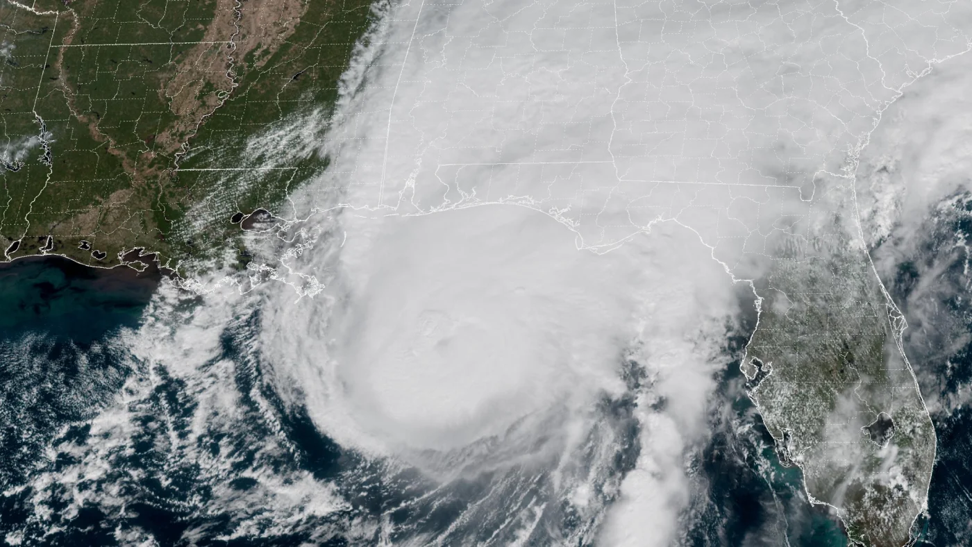 How AI is transforming hurricane forecasts
A satellite image provided by the National Oceanic and Atmospheric Administration (NOAA) shows Hurricane Isaias approaching the Gulf Coast of Alabama and Florida on Friday, Oct. 9 2026. NOAA/NOAA hide caption Hurricane…
-
 Yellow wind warning issued across Strathspey for Tuesday
A yellow wind warning has been issued by the Met Office for tomorrow after Storm Boelo brought disruption across the Highlands and North East. Starting at 3am on Tuesday, gusts of 50-60mph are expected and commuters are…
- Saudi Arabia issues red and orange alerts as heavy thunderstorms threaten several regions
JEDDAH — Red and orange weather alerts remain in effect as moderate to heavy thunderstorms continue to sweep across several Saudi regions on Monday, bringing heavy rainfall and the risk of flash floods, according to the…
-
 Storm Boelo disruption is ridden out in Badenoch and Strathspey
After yesterday’s outages in Glenmore and the Kincraig area reports are that power has been restored - but there are problems in the Strathspey area just above Grantown. So it’s been a very mixed day as Boelo’s winds…
- Two Rounds of Rain and Thunderstorms Expected in Arizona Next Weekend
According to the Arizona Weatherman, Friday through Monday, 30 Oct–2 Nov 2026, expect a one-two punch of rain and thunderstorms to impact the state. Moisture associated with Tropical Storm Vance will work its way into…
-
 Liverpool vs Brighton weather forecast amid latest Met Office warning as Storm Boelo hits
Liverpool undoubtedly face one of their hardest tests this season when they host high-flying Brighton at Anfield on Sunday afternoon just as Storm Boelo hits Merseyside. Football across the country has been impacted by…
Air quality
Air quality is satisfactory, and air pollution poses little or no risk.
Forecast
- TueGood (33)
- WedGood (33)
- ThuGood (33)
Seattle-Bellevue-Kent Valley, WA reporting area · 1 hr ago. Data from AirNow (EPA and its state, local and tribal partners); preliminary and subject to change.
Sun & moon
Almanac
MonthlySeattle Tacoma Airport, records since 1945. Normals 1991–2020. Data from NOAA's Regional Climate Centers (ACIS).
Nearby
Forecasters' discussion
From the National Weather Service office in SEW, issued 4 hrs ago
Synopsis
Upper level trough moving through the area today. Upper level low moving south over British Columbia today and tonight will veer southwest off Vancouver Island Wednesday. The low will drift south Wednesday night and Thursday ending up off the Washington coast Thursday night. The low will remain off the coast Friday then weaken and move inland Saturday. Upper level ridge building offshore Sunday moving over Western Washington Monday.
Short Term
If we are going to be dealing with slow moving upper level lows into the first part of next year it is going to be a long forecasting season.
Satellite imagery shows small circulation just off the North Oregon coast early this morning. Doppler radar has showers spinning around the low over the Central and Southern Coast spreading into the Southwest Interior. With the cloud cover temperatures in a narrow range at 3 AM/10Z, mid 40s to lower 50s.
Small upper level low opening up into a trough and moving mostly into Northwest Oregon this morning with the highest pops over the southern half of the area. Upper level low over Northern British Columbia this morning moving south during the day. Vort lobe spinning out of this feature over mainly the northern portion of the area this afternoon producing more showers. Snow levels in the 4500 to 5000 foot range confining snow showers to the higher elevations. Highs in the lower to mid 50s.
Upper level low to the north moving over Vancouver Island by late tonight. Showers rotating around the low moving through the area overnight. Air mass cooling with snow levels lowering to 3500 to 4000 feet. Up to 4 inches of new snow in the Cascades overnight. Higher amounts possible from around Mount Rainier southward. Lower snow totals in the Olympics, less than 2 inches. Lows in the upper 30s to mid 40s.
Upper level low not moving much Wednesday with showers rotating around the low continuing to move through Western Washington. Snow levels lowering slightly to 3000 to 3500 feet. Up to another 4 inches of new snow in the Cascades with slightly higher amounts possible again Mount Rainier southward. Highs in the lower to mid 50s. Winter weather advisory for the Cascades tonight and Wednesday looks good and will be continued with this forecast package.
Little change in the forecast Wednesday night into Thursday as the upper level low hangs out off the Washington coast. Flow aloft becoming southwesterly ( versus westerly tonight and Wednesday ) as the low drifts slowly south. This will reduce the orographics over the mountains lowering the precipitation amounts. The air mass will still cool with snow levels 2500 to 3500 feet so most of the passes will continue to see light snow with another couple of inches of new snow. Lows mid 30s to lower 40s. Highs in the lower to mid 50s.
Long Term
Upper level low hanging out off the Washington coast through Friday night will finally weaken and shift inland Saturday. Pops slowly decreasing Friday and Friday night with just chance to slight chance pops by Saturday. Snow levels remaining in the 2500 to 3500 foot range but precipitation amounts will only produce another couple inches of new snow.
Upper level ridge building offshore Sunday moving inland Monday. Atmospheric river on the backside of the ridge aimed at the Central British Columbia coast. As the ridge moves inland warm front may nick the coast Monday night.
Highs in the lower to mid 50s warming into the mid and upper 50s Monday. Lows in the mid 30s to lower 40s dropping to the upper 20s and 30s Monday. Felton
Aviation
Northwesterly flow aloft as upper level troughiness remains in place over the Pac NW. Surface winds mostly southwesterly with speeds less than 5 kts with some areas of light and variable. More pronounced southwesterlies expected by late morning/early afternoon for all terminals with speeds generally increasing to 5-10 kts with some terminals possibly seeing wind gusts up to 20 kts.
Wide selection of cigs in place this morning. Majority of obs show VFR conditions, however some terminals in the south Sound area, including Sea-Tac, are reporting MVFR to IFR conditions. Cigs will continue to lower throughout the early morning with widespread MVFR to IFR conditions expected by 12-14Z. Cigs begin to recover by late morning/early afternoon with generally VFR conditions returning, save for those terminals that favor lower cigs, where clouds may only lift to high-end MVFR. Showers will remain a contributing factor to lower cigs throughout the day, with scattered activity expected in the morning becoming more widespread this evening. Will begin to reflect increased chances of precip during this time frame with 12Z issuance. As rainfall becomes more prominent, widespread MVFR conditions expected to return by tonight.
KSEA...Conditions continue to deteriorate this morning with latest special ob reporting high-end IFR conditions as opposed to model- advertised low-end MVFR. Will likely favor the latter as the dominant condition for 12Z update with TEMPO group reflecting the former. As southwesterly winds increase to 4-8 kts by 12-14Z, this should help cigs to lift a little bit more, nudging upward into low to mid MVFR. As speeds reach their peak this afternoon and early evening, generally ranging 8-12 kts with gusts up to 20 possible, should see cigs return to low-end VFR. As rain becomes more widespread tonight, cigs will droop again back to MVFR as wind speeds lower slightly to 5-10 kts.
18
Forecasts, observations and alerts in the United States come from the National Weather Service (NOAA); radar from NOAA's Multi-Radar Multi-Sensor system; satellite imagery from NASA's Global Imagery Browse Services (GIBS) and NOAA's GOES satellites; the map from the U.S. Geological Survey's National Map; air quality from AirNow (EPA and its partners); hurricane information from the National Hurricane Center; climate normals and records from NOAA's Regional Climate Centers (ACIS). Forecasts outside the United States and the UV index: MET Norway (CC BY 4.0); observations outside the U.S.: airport reports via NOAA's Aviation Weather Center. Place names: GeoNames (CC BY 4.0). Data are copied on a schedule and may lag the sources; for warnings that affect your safety, follow your local National Weather Service office and emergency officials. Weather news is drawn from the 4Search index and reflects what the press published. Terms of use. How to use Weather