Install
Rockingham, VT Weather
Current conditions
Forecast for this hour (no station report in the last two hours)
Forecast
10-day-
Friday Night
Mostly clear, with a low around 26.
-
Saturday
Sunny, with a high near 57.
-
Saturday Night
Clear, with a low around 27.
National Weather Service forecast updated 2 days ago.
Hourly
Hourly forecast- Now37°
- 9 PM34°
- 10 PM32°
- 11 PM31°
- Sat12 AM30°
- 1 AM29°
- 2 AM29°
- 3 AM28°
- 4 AM28°
- 5 AM27°
- 6 AM26°
- 7 AM26°
- 8 AM27°
- 9 AM33°
- 10 AM39°
- 11 AM46°
- 12 PM51°
- 1 PM54°
- 2 PM56°
- 3 PM57°
- 4 PM57°
- 5 PM55°
- 6 PM50°
- 7 PM44°
10-day forecast
Details- WedOct 21Sunny35°57°
- ThuOct 22Mostly Sunny30°60°
- TodayOct 23Sunny26°52°
- SatOct 24Sunny27°57°
- SunOct 25Sunny34°63°
- MonOct 26Mostly Sunny37°64°
- TueOct 27Mostly Sunny30°55°
- WedOct 28Cloudy44°57°
- ThuOct 29Sunny38°59°
- FriOct 30Cloudy36°58°
Days after the National Weather Service's seven are MET Norway's outlook, a computer model with no forecaster's review.
Radar
Full mapWeather news near Rockingham
More weather news-
 Shenandoah Valley Weather: Freeze Warning overnight tonight
Here’s the forecast for Harrisonburg and the Shenandoah ValleyToday: A chance of showers, mainly before 10am. Cloudy early, then gradual clearing, with a high near 54. North wind 14 to 17 mph, with gusts as high as 28…
- Lots of sunshine on the way and comfortable temperatures
Today: sunny to partly cloudy; breezy, less humid and cooler. High 55. HARRISONBURG, VA (Rocktown Now) — Your Shenandoah Valley Forecast: With the win Turner Ashby is 6-1 on the season. East Rockingham falls to 6-2. A…
-
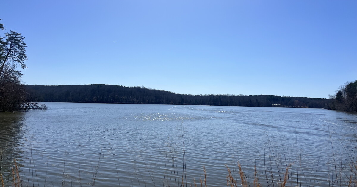 North Carolina drought conditions improve slightly following Hurricane Isaias
Drought conditions have improved slightly in parts of Guilford and Rockingham counties following Hurricane Isaias. But much of North Carolina remains in severe or extreme drought. - On Air Now Playing WFDD 3: BBC World…
-
 Shenandoah Valley Forecast: Sunshine returns today, colder this weekend
Tonight: A chance of showers before 10pm, then a chance of showers after 2am. Mostly cloudy, with a low around 45. Northwest wind 9 to 13 mph, with gusts as high as 30 mph. Chance of precipitation is 40%. Saturday…
-
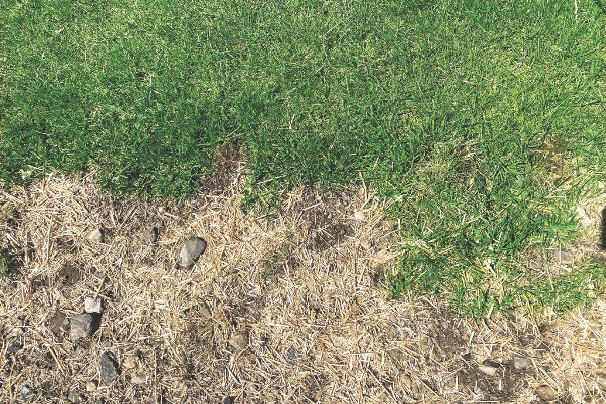 Local counties declared free of drought conditions; water table is rising
For the first time in many months, most of the Shenandoah Valley and Piedmont are officially “drought‑free,” according to a new update from the U.S. Drought Monitor. ROCKINGHAM COUNTY, VA (Rocktown Now) — For the first…
-
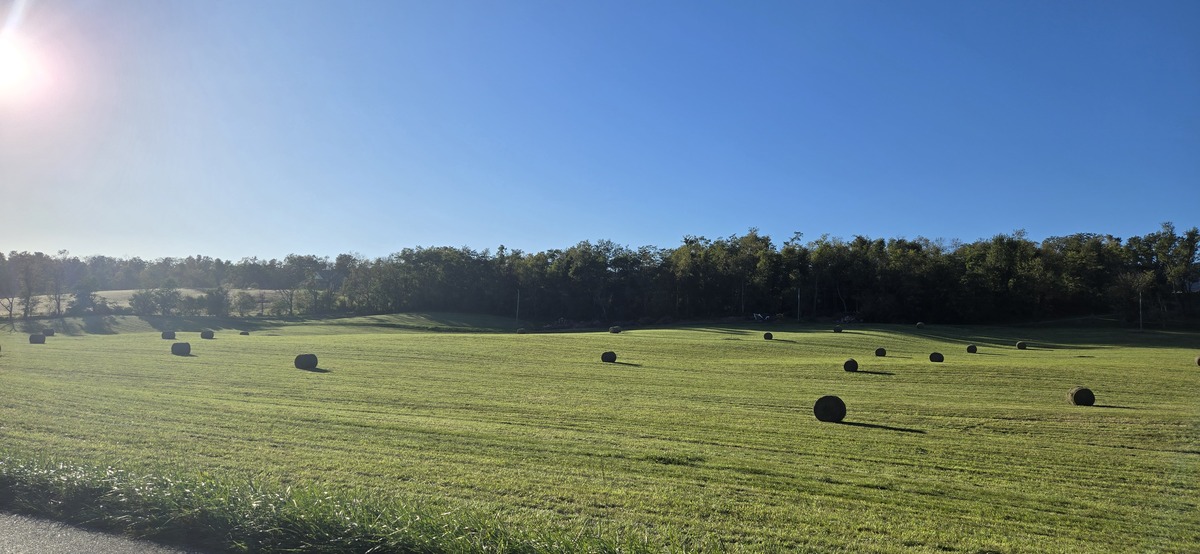 Shenandoah Valley Weather: Sunshine and 80’s
Here’s the WSVA local forecast for Harrisonburg and the Shenandoah ValleyToday: Sunny, with a high near 81. Calm wind becoming southwest 5 to 9 mph in the afternoon. Tonight: Clear, with a low around 60. Southwest wind…
-
 NOAA’s Winter Outlook Predicts Warmer Temperatures and Less Snow for Vermont
At SSBCrack News, our dedicated editorial team brings you the latest and most reliable updates on Defence, Geopolitics, Military Affairs, Science, and Technology. Driven by a passion for national security and strategic…
- Vermont Woolly Bear Points to Mild Winter in Predicting A Harsh Winter Using Wildlife
A Vermont woolly bear crossing a patch of pine needles on an access road this week is feeding the old habit of predicting a harsh winter using wildlife, and this one pointed toward a mild season. Its black ends and wide…
-
 PHOTOS: First snowflakes fly around Vermont
VTDigger Member-supported journalism. Informing and engaging Vermont. This year, VTDigger is teaming up with Henry’s Weather Channel to help answer the annual question of when and where peak foliage will make its…
-
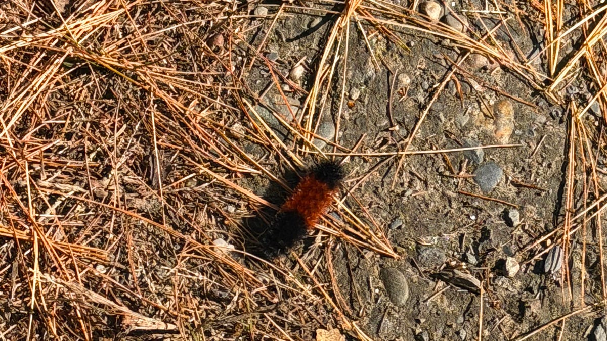 A Vermont Woolly Bear Calls for a Mild Winter. NOAA Mostly Agrees.
The federal government released its official winter forecast on Thursday. Compass Vermont got a second opinion from a caterpillar. We found him crossing a patch of pine needles on a Vermont access road this week. He’s a…
Air quality
Forecast
- FriGood
- SatGood
- SunGood
Sullivan County, NH reporting area. Data from AirNow (EPA and its state, local and tribal partners); preliminary and subject to change.
Sun & moon
Almanac
MonthlyKeene, records since 1893. Normals 1991–2020. Data from NOAA's Regional Climate Centers (ACIS).
Nearby
- Keene 33 km
- Lebanon 54 km
- Claremont 24 km
- Hartford 54 km
- Hanover 59 km
- Brattleboro 38 km
- Swanzey 39 km
- Newport 32 km
- Springfield 12 km
- Chesterfield 33 km
- Sunapee 39 km
- Peterborough 56 km
Forecasters' discussion
From the National Weather Service office in ALY, issued 2 hrs ago
What Has Changed
Continued trend to lower dewpoints during the afternoons on the weekend with the surface high and dry air mass in place.
Added some patchy valley fog Sun night/Mon morning with dewpoints rising and the surface anticyclone just south and east of the region.
Key Messages
1) High confidence in dry conditions persisting through at least the middle of next week.
Discussion
KEY MESSAGE 1...
A strong surface high around 1035 hPa continues to build in over southern Quebec, NY and New England tonight. Near ideal radiational cooling conditions set-up with mostly clear to partly cloudy skies and light to calm winds, as some cirrus may drift in over the top of the mid and upper level ridge after midnight. The low-levels are very dry with PWATS close to 0.25", which are 1-2 STDEVS below normal based on th latest NAEFS guidance. Lows will fall into the 20s to around 30F (close to a MAV/MET/NBM blend). The coldest readings may be over the southern Dacks and the sheltered valleys north of Albany. The thin cirrus should diminish tomorrow morning with the sfc anticyclone centered over NY and New England with mostly sunny skies by the afternoon and light winds. Max temps will be seasonable with 50s to around 60F in a few locations. Another chilly night is expected with ideal radiational cooling conditions once again with mostly clear skies/light to calm winds with lows falling into the mid 20s to lower 30s. Not much change with the sensible weather to close the weekend with the H500 ridge over the lower MS River Valley folding over into the Northeast, and the sfc high very slowly drifting south and east of the forecast area heading into Sunday night. Temps rise slightly above normal to close the weekend in the 50s to lower 60s across the forecast area.
The mid and upper level flow becomes more zonal aloft to start the week, as the H500 ridge is slightly surpressed to the south and east. Some patchy valley fog may develop Mon morning with the sfc anticyclone south/southeast of the region. Low temps look more seasonable. A mositure-starved cold front approaches Mon with limited low-level moisture. Some of the deterministic guidance and ensembles have some light showers impacting the western Mohawk Valley and western Adirondacks late Mon, but have maintained a dry forecast based on the NBM for now. The cold front brings a reinforcing shot of cold advection, as a Canadian surface high builds in again for Tue-Wed with temps near to slightly below normal and continued dry conditions. The next best chance of showers may not occur until late Thu into Fri with a northern stream systems warm and cold fronts approaching from the southwest/west based on some of the medium range deterministic/ensemble/NBM guidance. Precipitation looks light with this system.
Aviation
Through 00Z/Sunday, VFR conditions are expected, with just a period of high-level clouds late tonight into early Saturday morning. Light/variable winds are expected through the next 24 hours, with a period of calm winds at many TAF sites later tonight into Saturday morning.
Outlook...
Saturday Night to Wednesday: No Operational Impact. NO SIG WX.
Forecasts, observations and alerts in the United States come from the National Weather Service (NOAA); radar from NOAA's Multi-Radar Multi-Sensor system; satellite imagery from NASA's Global Imagery Browse Services (GIBS) and NOAA's GOES satellites; the map from the U.S. Geological Survey's National Map; air quality from AirNow (EPA and its partners); hurricane information from the National Hurricane Center; climate normals and records from NOAA's Regional Climate Centers (ACIS). Forecasts outside the United States and the UV index: MET Norway (CC BY 4.0); observations outside the U.S.: airport reports via NOAA's Aviation Weather Center. Place names: GeoNames (CC BY 4.0). Data are copied on a schedule and may lag the sources; for warnings that affect your safety, follow your local National Weather Service office and emergency officials. Weather news is drawn from the 4Search index and reflects what the press published. Terms of use.