Install
Fort Lee, VA Weather
Current conditions
Forecast for this hour (no station report in the last two hours)
Forecast
10-day-
Sunday Night
Clear, with a low around 40. Northeast wind 0 to 7 mph.
-
Monday
Sunny, with a high near 70.
-
Monday Night
Clear, with a low around 45.
National Weather Service forecast updated 2 days ago.
Hourly
Hourly forecast- Now51°
- 10 PM49°
- 11 PM48°
- Mon12 AM47°
- 1 AM46°
- 2 AM46°
- 3 AM45°
- 4 AM44°
- 5 AM43°
- 6 AM42°
- 7 AM41°
- 8 AM43°
- 9 AM49°
- 10 AM53°
- 11 AM58°
- 12 PM62°
- 1 PM65°
- 2 PM67°
- 3 PM68°
- 4 PM69°
- 5 PM66°
- 6 PM65°
- 7 PM60°
- 8 PM57°
10-day forecast
Details- TonightOct 23Mostly Clear42°
- SatOct 24Sunny44°66°
- TodayOct 25Sunny40°69°
- MonOct 26Sunny45°70°
- TueOct 27Sunny48°72°
- WedOct 28Partly Sunny50°68°
- ThuOct 29Partly Sunny52°72°
- FriOct 30Mostly Sunny74°
- SatOct 31Sunny43°61°
- SunNov 1Cloudy41°61°
Days after the National Weather Service's seven are MET Norway's outlook, a computer model with no forecaster's review.
Radar
Full mapWeather news near Fort Lee
More weather news- Subtropical Storm Josephine develops off the East Coast
RICHMOND, Va. (WWBT) - At 5pm on Wednesday, October 21st, the National Hurricane Center classified the area of low pressure well off the Mid-Atlantic coast as Subtropical Storm Josephine producing winds of up to 65 mph…
-
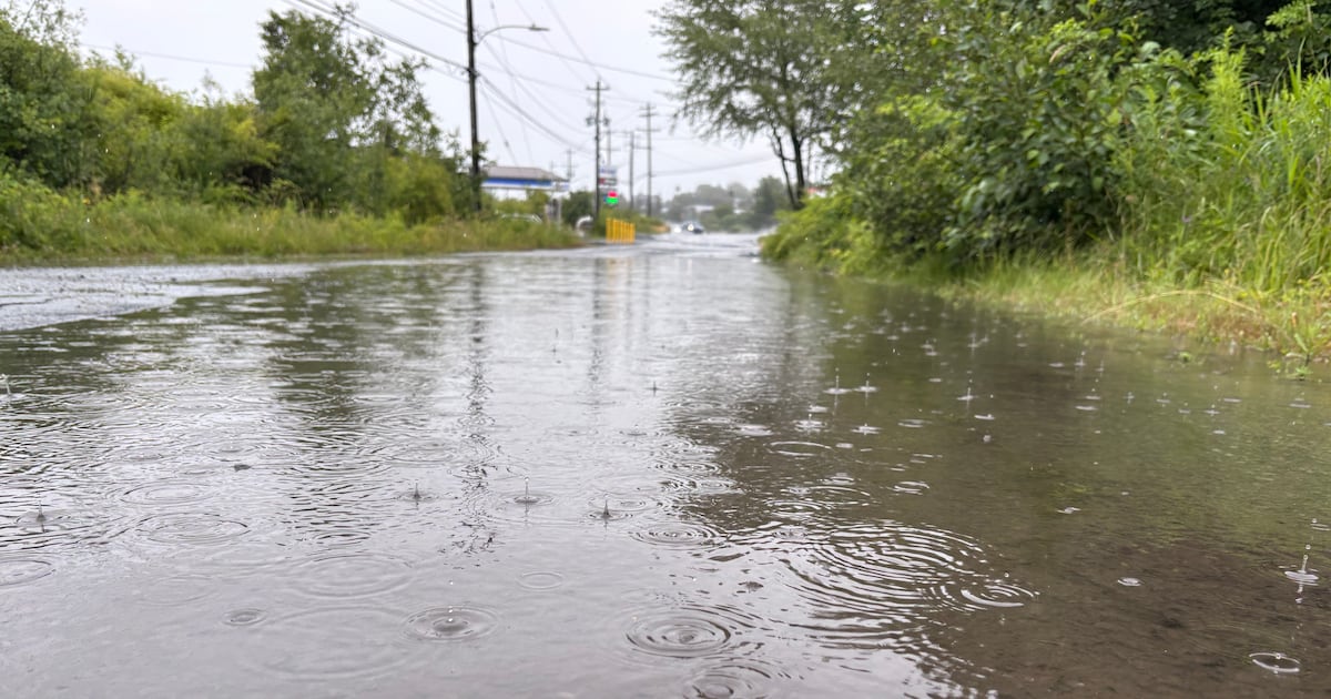 Eastern seaboard Nor’easter moving North, bringing rain to Nova Scotia
A Nor’easter-type storm system is moving north, directing the centre of the storm east of Sable Island, N.S. A stalled Norâeaster-type storm system off the U.S eastern seaboard is finally moving north The…
- Richmond Basks in Sunny Skies Before a Week of Crisp Fall Breezes
Thursday should reach about 70 before temperatures ease back to 66 Friday, 62 Saturday and around 67 Sunday. Overnight lows could reach the mid-to-upper 30s Wednesday night into Thursday morning in the Piedmont and…
- Richmond Weather Forecast: Sunny, Breezy Week Ahead
Richmond is waking to a clear, brisk Monday morning around 41 degrees, but the day will turn into a classic fall reset: sunny skies, a high near 66 and north winds of 7 to 13 mph. Gusts could reach 21 mph, so the…
-
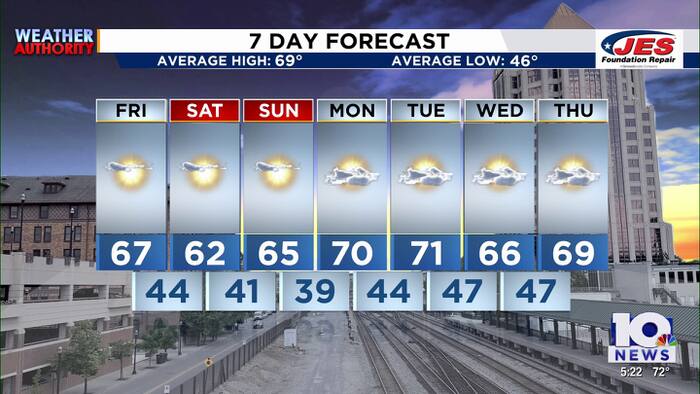 Southwest, Central Virginia Weather | 5 p.m. - Oct. 22, 2026
WSLS Southwest, Central Virginia Weather | 5 p.m. - Oct. 22, 2026 Here is a look at your Thursday evening forecast. Roanoke City Council Race Preview Washington & Lee Student released from ICE Custody ‘Home is not home…
-
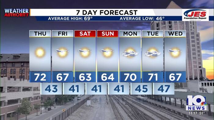 Southwest, Central Virginia Weather | 11 p.m. - Oct. 21, 2026
WSLS Southwest, Central Virginia Weather | 11 p.m. - Oct. 21, 2026 Here's a look at your forecast! Franklin County holds informational panel on data center development Roanoke County Career and Technology Center opens…
-
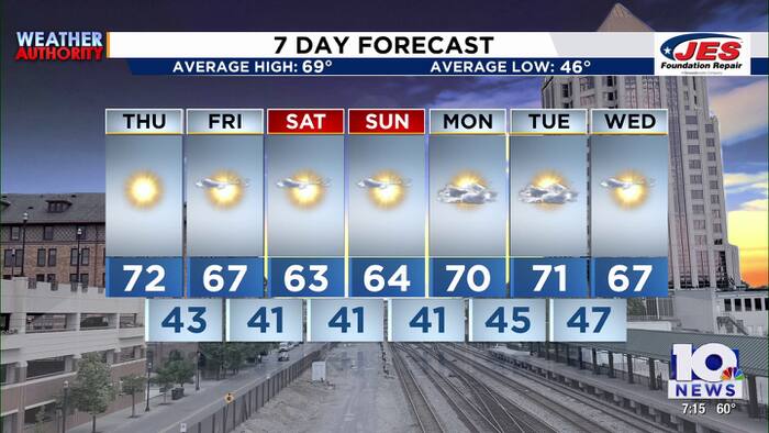 Southwest, Central Virginia Weather | 7 p.m. - Oct. 21, 2026
WSLS Southwest, Central Virginia Weather | 7 p.m. - Oct. 21, 2026 Here's a look at your forecast! Franklin County holds informational panel on data center development Roanoke County Career and Technology Center opens…
-
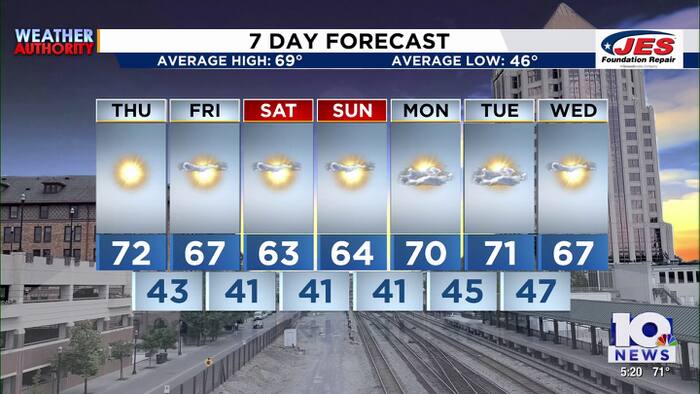 Southwest, Central Virginia Weather | 5 p.m. - Oct. 21, 2026
WSLS Southwest, Central Virginia Weather | 5 p.m. - Oct. 21, 2026 Here's a look at your forecast! Roanoke County Schools opens new career and technology center Southwest Virginia veterans, farmers talk rising costs…
-
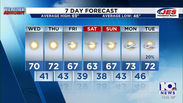 Southwest, Central Virginia Weather | 11 p.m. - Oct. 20, 2026
WSLS Southwest, Central Virginia Weather | 11 p.m. - Oct. 20, 2026 Here is a look at your Tuesday night forecast. Lynchburg City School board meets Tuesday night following report of schools underperforming Special…
-
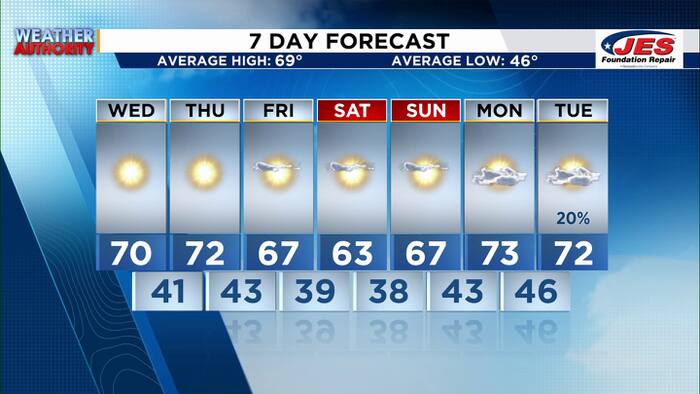 Southwest, Central Virginia Weather | 7 p.m. - Oct. 20, 2026
WSLS Southwest, Central Virginia Weather | 7 p.m. - Oct. 20, 2026 Here's a look at your forecast! Special Olympics Virginia holds 2026 Big Feet Meet 'Build My Future' career event held in Montgomery County for middle…
Air quality
Air quality is satisfactory, and air pollution poses little or no risk.
Forecast
- SunGood (33)
- MonGood (44)
Richmond, VA reporting area · 1 hr ago. Data from AirNow (EPA and its state, local and tribal partners); preliminary and subject to change.
Sun & moon
Almanac
MonthlyRichmond Area, records since 1897. Normals 1991–2020. Data from NOAA's Regional Climate Centers (ACIS).
Nearby
- Richmond 13 km
- Tuckahoe 22 km
- Mechanicsville 13 km
- Petersburg 30 km
- Short Pump 30 km
- Hopewell 22 km
- Chester 18 km
- Midlothian 28 km
- Meadowbrook 13 km
- Colonial Heights 26 km
- Laurel 22 km
- Bon Air 20 km
Forecasters' discussion
From the National Weather Service office in AKQ, issued 6 hrs ago
What Has Changed
- A Frost Advisory has been issued for the Piedmont counties west, northwest and north of the Richmond metro.
- The Small Craft Advisory for the southern coastal waters has been extended through Monday.
Key Messages
1) Continued dry with seasonable temperatures through midweek, trending to above normal late in the week.
Discussion
As of 315 PM EDT Sunday...
KEY MESSAGE 1...Continued dry with seasonable temperatures through midweek, trending to above normal late in the week.
GOES water vapor channels continue to depict a highly amplified pattern with an upper ridge extending from the lower/mid Mississippi Valley into the southern Great Lakes, with a trough lingering off the East Coast. At the surface, 1035mb high pressure is centered from SE PA into the northern Delmarva this afternoon. Mostly sunny with temperatures in the mid to upper 60s, with dewpoints generally in the mid to upper 40s. The wind remains NE and light for much of the area. However, it is still gusting to 20-25 mph along the coasts of SE VA and NE NC.
The surface high continues to settle southward tonight with the axis oriented in vicinity of the VA Piedmont. Given this, there is a greater potential for a more widespread frost spreading east from the Piedmont to interior SE VA as better decoupling is expected. It is a little concerning that dewpoints have lingered in the 40s today. However, temperatures away from the coast have been radiating well in this pattern, and have continued the same thinking as the previous shift to go a few degrees (or several degrees in some areas) colder than NBM. This results in mid 30s forecast for the Piedmont (locally lower 30s possible) and and mid-upper 30s for interior SE VA and the lower MD Eastern Shore. A Frost Advisory has been issued for the NW Piedmont counties where confidence is highest for 2m temperatures falling to near freezing.
After the cold start, turning warmer Monday and Tuesday ahead of the next (dry) front, then slightly cooler Wednesday and staying dry. Temperatures warm above average late in the week with high temperatures well into the 70s for most, along with no rain chances as moisture is expected to stay offshore off the SE US coast. The 25/12z ECMWF ensemble/GEFS chance for measurable rain (.01"+) of rain through the end of the month is basically zero aside from some low probs showing up in southeastern portions of the area later in the week into the following weekend from the EC ens. (GEFS has none), but when switching the threshold to 0.1"+ the EC ens. basically has zero probs. It should be noted that despite the ongoing drought/precipitation deficit across much of the area, none of our long-term climate sites will rank among the 10 driest Octobers on record (as October has several occurrences with monthly rainfall amounts of less than 0.50").
Aviation
As of 140 PM EDT Sunday...
1035mb high pressure was centered over SE PA, NE MD, and DE as of 18z. VFR under a mostly sunny sky with FEW CU. The wind was NE 6-12kt, and gusting to ~20kt at ORF and ECG. VFR conditions are expected to prevail for the 25/18z TAF period under a clear/sunny sky. High pressure settles S into the region tonight and Monday. The wind will become calm to very light for most sites, and locally remain NE/NNE 5-10kt at ORF and ECG. Some patchy shallow ground fog is possible where the wind becomes calm. However, confidence is currently not high enough to include at any terminals. The wind remains light Monday, generally WNW at RIC and SBY, and N/NNE at PHF, ORF, and ECG.
Outlook: Elevated N to NE winds return Tuesday and Wednesday. Otherwise, dry and VFR conditions continue through the week.
Forecasts, observations and alerts in the United States come from the National Weather Service (NOAA); radar from NOAA's Multi-Radar Multi-Sensor system; satellite imagery from NASA's Global Imagery Browse Services (GIBS) and NOAA's GOES satellites; the map from the U.S. Geological Survey's National Map; air quality from AirNow (EPA and its partners); hurricane information from the National Hurricane Center; climate normals and records from NOAA's Regional Climate Centers (ACIS). Forecasts outside the United States and the UV index: MET Norway (CC BY 4.0); observations outside the U.S.: airport reports via NOAA's Aviation Weather Center. Place names: GeoNames (CC BY 4.0). Data are copied on a schedule and may lag the sources; for warnings that affect your safety, follow your local National Weather Service office and emergency officials. Weather news is drawn from the 4Search index and reflects what the press published. Terms of use. How to use Weather