Install
Belmont, VA Weather
Current conditions
Forecast for this hour (no station report in the last two hours)
Forecast
10-day-
Saturday Night
Patchy fog between 10pm and 1am, then patchy frost and patchy fog. Clear, with a low around 33. East wind around 2 mph.
-
Sunday
Patchy frost and patchy fog before 10am. Sunny, with a high near 65.
-
Sunday Night
Clear, with a low around 36.
National Weather Service forecast updated 1 day ago.
Hourly
Hourly forecast- Now52°
- 8 PM47°
- 9 PM43°
- 10 PM41°
- 11 PM39°
- Sun12 AM38°
- 1 AM37°
- 2 AM37°
- 3 AM37°
- 4 AM37°
- 5 AM36°
- 6 AM34°
- 7 AM33°
- 8 AM35°
- 9 AM40°
- 10 AM48°
- 11 AM55°
- 12 PM59°
- 1 PM62°
- 2 PM63°
- 3 PM65°
- 4 PM65°
- 5 PM64°
- 6 PM60°
10-day forecast
Details- TonightOct 22Clear41°
- FriOct 23Sunny36°64°
- TodayOct 24Patchy Frost then Sunny33°62°
- SunOct 25Patchy Frost then Sunny36°65°
- MonOct 26Sunny46°69°
- TueOct 27Sunny44°66°
- WedOct 28Partly Sunny45°63°
- ThuOct 29Mostly Sunny66°
- FriOct 30Partly cloudy48°74°
- SatOct 31Cloudy48°63°
Days after the National Weather Service's seven are MET Norway's outlook, a computer model with no forecaster's review.
Radar
Full mapWeather news near Belmont
More weather news-
 New Nor'easter Forms Off Atlantic Coast: How It Could Impact VA
Another nor'easter is brewing off the East Coast, and while Northern Virginia may escape the worst of the storm, residents could still see gusty winds, occasional rain and unsettled weather next week. Just three weeks…
-
 Severe Storm Threat Increases Ahead Of VA Cold Snap
Northern Virginia's fall weather is about to take a wild turn, with thunderstorms, gusty winds and a sharp temperature drop all packed into one weekend. A powerful cold front moving across the region Friday could bring…
-
 Storms, Then Big Weather Shift Ahead For VA
Virginia is about to get a reminder that it's October, with thunderstorms and gusty winds giving way to a dramatic temperature drop that could bring the season's first frost to some communities. After temperatures climb…
-
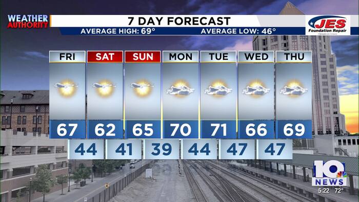 Southwest, Central Virginia Weather | 5 p.m. - Oct. 22, 2026
WSLS Southwest, Central Virginia Weather | 5 p.m. - Oct. 22, 2026 Here is a look at your Thursday evening forecast. Roanoke City Council Race Preview Washington & Lee Student released from ICE Custody ‘Home is not home…
-
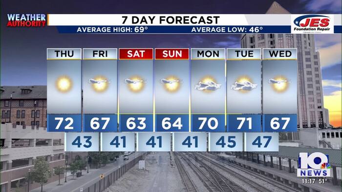 Southwest, Central Virginia Weather | 11 p.m. - Oct. 21, 2026
WSLS Southwest, Central Virginia Weather | 11 p.m. - Oct. 21, 2026 Here's a look at your forecast! Franklin County holds informational panel on data center development Roanoke County Career and Technology Center opens…
-
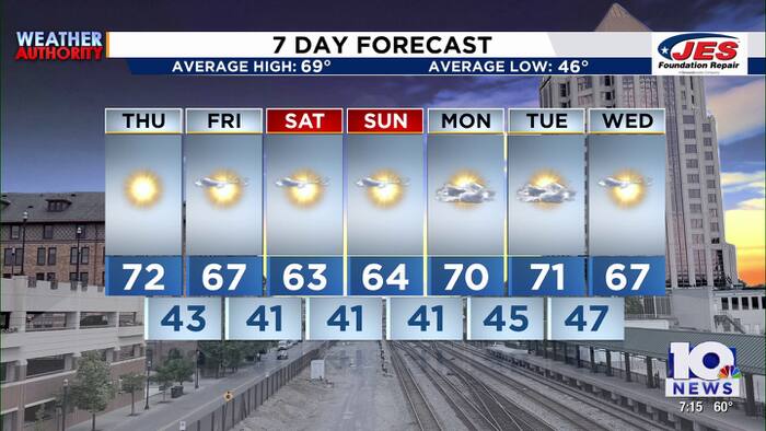 Southwest, Central Virginia Weather | 7 p.m. - Oct. 21, 2026
WSLS Southwest, Central Virginia Weather | 7 p.m. - Oct. 21, 2026 Here's a look at your forecast! Franklin County holds informational panel on data center development Roanoke County Career and Technology Center opens…
-
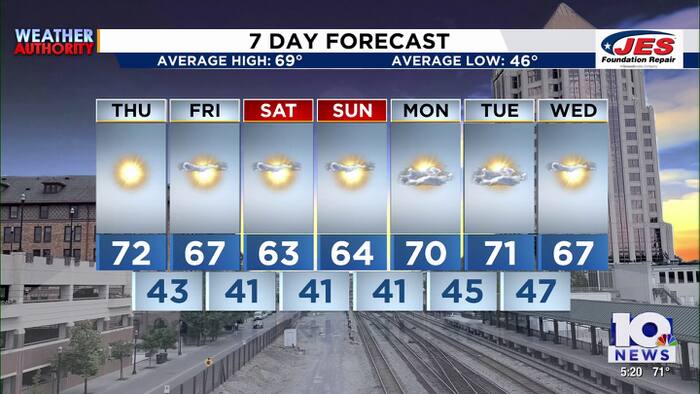 Southwest, Central Virginia Weather | 5 p.m. - Oct. 21, 2026
WSLS Southwest, Central Virginia Weather | 5 p.m. - Oct. 21, 2026 Here's a look at your forecast! Roanoke County Schools opens new career and technology center Southwest Virginia veterans, farmers talk rising costs…
-
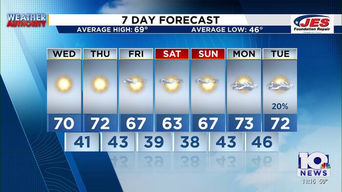 Southwest, Central Virginia Weather | 11 p.m. - Oct. 20, 2026
WSLS Southwest, Central Virginia Weather | 11 p.m. - Oct. 20, 2026 Here is a look at your Tuesday night forecast. Lynchburg City School board meets Tuesday night following report of schools underperforming Special…
-
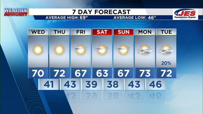 Southwest, Central Virginia Weather | 7 p.m. - Oct. 20, 2026
WSLS Southwest, Central Virginia Weather | 7 p.m. - Oct. 20, 2026 Here's a look at your forecast! Special Olympics Virginia holds 2026 Big Feet Meet 'Build My Future' career event held in Montgomery County for middle…
-
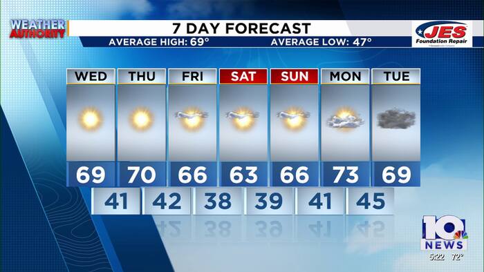 Southwest, Central Virginia Weather | 5 p.m. - Oct. 20, 2026
WSLS Southwest, Central Virginia Weather | 5 p.m. - Oct. 20, 2026 Here's a look at your forecast! Special Olympics Virginia holds 2026 Big Feet Meet 'Build My Future' career event held in Montgomery County for middle…
Air quality
Air quality is satisfactory, and air pollution poses little or no risk.
Forecast
- SatGood (44)
- SunModerate (53)
- MonGood (50)
Northern Virginia, VA reporting area · 1 hr ago. Data from AirNow (EPA and its state, local and tribal partners); preliminary and subject to change.
Sun & moon
Almanac
MonthlySterling-Dulles Airport Area, records since 1960. Normals 1991–2020. Data from NOAA's Regional Climate Centers (ACIS).
Nearby
- Washington 45 km
- Arlington 41 km
- Alexandria 49 km
- Germantown 24 km
- Silver Spring 43 km
- Centreville 26 km
- Frederick 40 km
- Gaithersburg 28 km
- Rockville 31 km
- Dale City 51 km
- Bethesda 37 km
- Reston 18 km
Forecasters' discussion
From the National Weather Service office in LWX, issued 5 hrs ago
What Has Changed
A Frost Advisory has been issued from 1 AM to 9 AM Sunday for portions of northern Virginia and central and northern Maryland. A Coastal Flood Advisory may be needed this evening for Alexandria. Sky cover was increased a bit into tonight across the southern half of the forecast area, but the forecast otherwise remains on track for the coming week.
Key Messages
- 1) Frost or freezing temperatures are possible in many areas tonight and Sunday night.
- 2) Dry weather continues through next week along with generally seasonable temperatures.
Discussion
KEY MESSAGE 1...Frost or freezing temperatures are possible in many areas tonight and Sunday night.
High pressure remains centered to our northeast this afternoon and will slowly drift southwestward through early Monday. Favorable conditions for radiational cooling will continue the next two nights, albeit with some caveats.
The growing season for 2026 has ended along and west of the Blue Ridge and Catoctin Mountains, but continues east of there. Any headlines for frost/freeze conditions will only be issued where the growing season remains active.
Other than some subtle differences, tonight into Sunday morning should reflect a lot of persistence from Saturday morning. This resulted in 31-36 degree low temperatures across northern Virginia and central and northern Maryland, particularly in rural, low-lying areas. Therefore, a Frost Advisory has been issued for these areas from 1 to 9 AM Sunday. Felt that subfreezing temperatures would be too localized for a warning. And while outlying areas along and east of I-95 could be chilly as well, the frost potential seemed too isolated for an advisory at this time. Meanwhile, confidence is lower for an advisory in central Virginia due to higher dew points and potential cloud cover, as this afternoon's stratocumulus field continues to drift westward and possibly bank along the Blue Ridge tonight if it doesn't break apart.
The high will be drifting southwest toward the central Appalachians by Monday morning, with several competing factors influencing temperatures. Low level flow will turn westerly, so areas along and east of I-95 may have a chance of being colder than Sunday without the modifying marine influence. Temperatures will also be rapidly warming aloft, so the ridges and any location that doesn't completely decouple will likely be warmer. There is also a sizable range of dew point temperatures forecast in models. However, the gradient will be negligible with decoupling likely, and the NAM has been particularly consistent in showing sharp surface inversions and the coldest temperatures of the weekend. All that to say, while coverage is a bit uncertain, the frost and freeze threat will persist through Monday morning.
Only minor changes have been made to the previous min temperature forecasts, which are near or below the coldest guidance which performs best in radiational cooling (MOS, NBM 10th percentile and Canadian Regional).
Aviation
VFR conditions are expected to prevail through early next week. There are some hints that a slight uptick in low-level moisture could lead to some patchy fog during the early morning hours tonight, and maybe more so Sunday night/Monday morning, though confidence in timing and extent of fog is low at this time. The NAM and related guidance is by far the most aggressive with this outcome (especially Monday morning), but is an outlier.
Light E to SE winds are expected today, with light to calm winds tonight. Wind direction may be a bit variable, ranging from SE to NE as high pressure passes directly overhead Sunday. Winds become northwesterly Monday but remain less than 10 kt.
VFR conditions are expected to continue through Thursday next week. Winds shift north to northwesterly Tuesday in the wake of a dry cold front, then shift east to southeasterly between Wednesday and Thursday. Cloud cover could begin to increase somewhat between Wednesday/Thursday as a frontal boundary approaches, but no precipitation is anticipated at this time.
Forecasts, observations and alerts in the United States come from the National Weather Service (NOAA); radar from NOAA's Multi-Radar Multi-Sensor system; satellite imagery from NASA's Global Imagery Browse Services (GIBS) and NOAA's GOES satellites; the map from the U.S. Geological Survey's National Map; air quality from AirNow (EPA and its partners); hurricane information from the National Hurricane Center; climate normals and records from NOAA's Regional Climate Centers (ACIS). Forecasts outside the United States and the UV index: MET Norway (CC BY 4.0); observations outside the U.S.: airport reports via NOAA's Aviation Weather Center. Place names: GeoNames (CC BY 4.0). Data are copied on a schedule and may lag the sources; for warnings that affect your safety, follow your local National Weather Service office and emergency officials. Weather news is drawn from the 4Search index and reflects what the press published. Terms of use.