Install
Willis, TX Weather
Current conditions
Observed at Conroe, Montgomery County Airport · 23 min ago
Forecast
10-day-
Overnight
Clear. Low around 52, with temperatures rising to around 55 overnight. North wind around 0 mph.
-
Wednesday
Sunny, with a high near 82. Northeast wind around 5 mph.
-
Wednesday Night
Mostly clear, with a low around 54. Northeast wind 0 to 5 mph.
National Weather Service forecast updated 41 min ago.
Hourly
Hourly forecast- Now55°
- 6 AM54°
- 7 AM52°
- 8 AM52°
- 9 AM59°
- 10 AM66°
- 11 AM72°
- 12 PM76°
- 1 PM80°
- 2 PM81°
- 3 PM82°
- 4 PM82°
- 5 PM80°
- 6 PM77°
- 7 PM72°
- 8 PM68°
- 9 PM66°
- 10 PM64°
- 11 PM62°
- Thu12 AM61°
- 1 AM59°
- 2 AM58°
- 3 AM57°
- 4 AM56°
10-day forecast
Details- TonightOct 20Clear52°
- TodayOct 21Sunny54°82°
- ThuOct 22Sunny51°83°
- FriOct 23Sunny54°84°
- SatOct 24Sunny54°82°
- SunOct 25Mostly Sunny54°79°
- MonOct 26Mostly Sunny56°80°
- TueOct 27Chance Rain Showers26%78°
- WedOct 28Cloudy56°68°
- ThuOct 29Mostly sunny51°67°
Days after the National Weather Service's seven are MET Norway's outlook, a computer model with no forecaster's review.
Radar
Full mapWeather news near Willis
More weather news-
 Another nor'easter could soon be dumping on the Jersey Shore
Just a few weeks after the Jersey Shore was hammered by a nor'easter, another coastal storm is on the way to mid-Atlantic states this week, including parts of coastal South Jersey, bringing gusty winds, beach erosion…
-
 Heavy rain today gives way to strong winds and dangerous surf through weekend
WEST PALM BEACH, Fla. — South Florida is in for a weekend of changing weather, with heavy rainfall and flooding concerns Saturday followed by strong winds and dangerous coastal conditions Sunday. A cold front…
-
 A planetary wave just crept into San Francisco
El Niño has sent a deep-sea wave from the tropics into California waters. Unlike waves that crash over the beach, this so-called Kelvin wave traveled underwater, lifting the sea surface by up to a foot. The Kelvin wave…
-
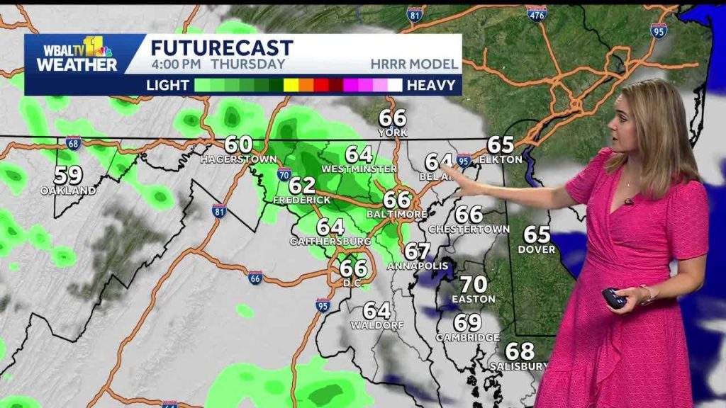 Weather: Cooler with showers on Thursday around Baltimore
WBAL News Radio Weather: Cooler with showers on Thursday around Baltimore Get a recap of Baltimore’s biggest headlines from WBAL NewsRadio – sent straight to your email inbox. Baltimore County police recover loaded…
-
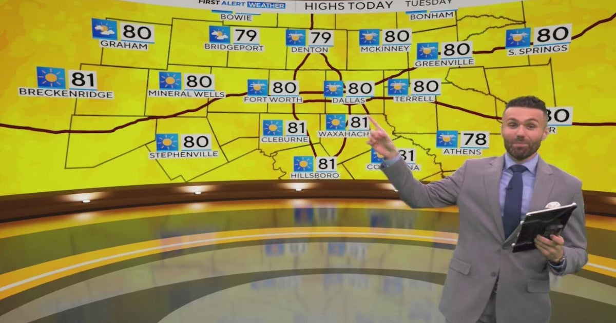 Great weather in North Texas this week
CBS News Baltimore 8am CBS News Boston 8am CBS News Chicago 7am CBS News Colorado This Morning 6am CBS News Los Angeles Mornings 5am CBS News Miami 8am CBS News New York 8am CBS News Texas 7am
-
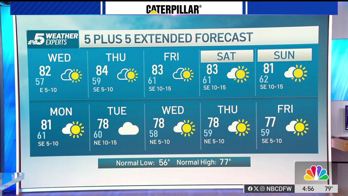 NBC 5 Forecast: A quiet weather pattern continues for North Texas
NBC 5 Dallas-Fort Worth NBC 5 Forecast: A quiet weather pattern continues for North Texas
-
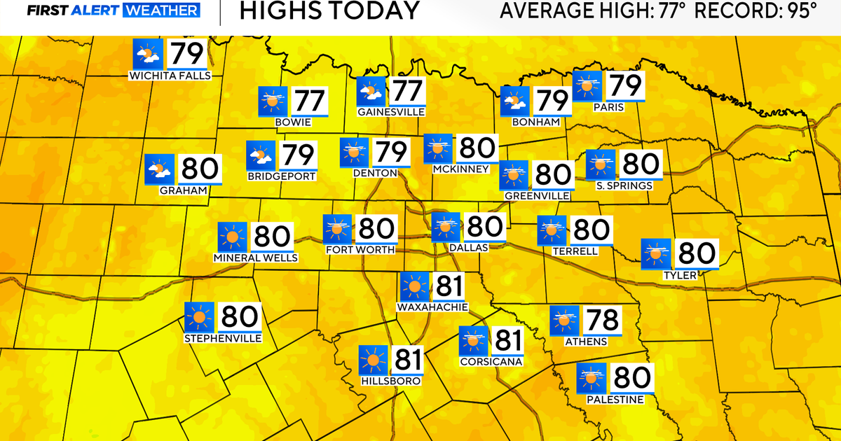 Temperatures climb into 80s as rain chances remain slim across North Texas
Updated on: October 20, 2026 / 7:28 AM CDT / CBS Texas It's another crisp fall morning, Tuesday, with temperatures in the 40s and 50s across North Texas. Have the light jacket handy and grab your sunglasses for the…
-
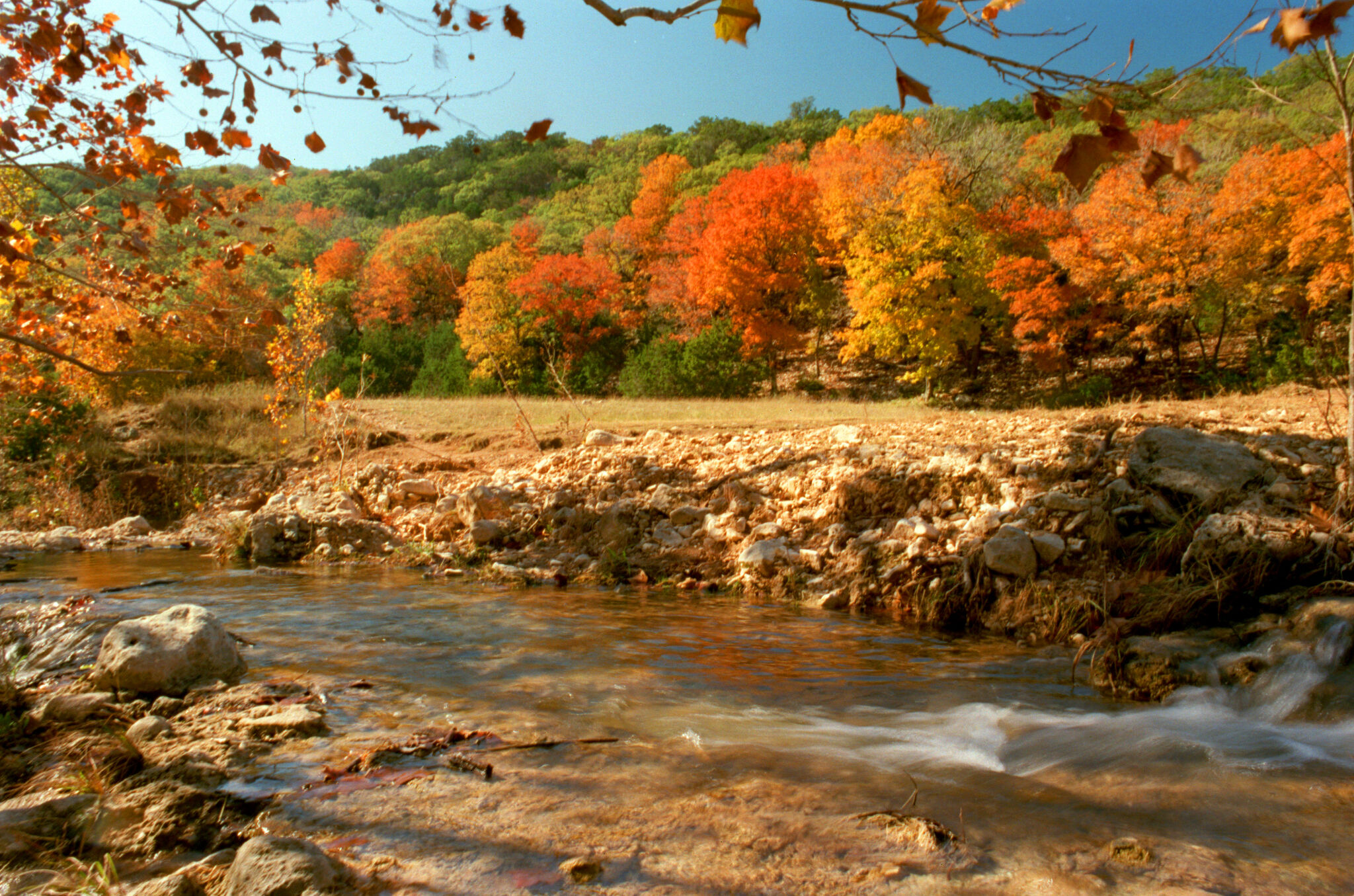 When will fall foliage peak across Texas? Here’s a timeline.
Maple trees are turning colors at Lost Maples State Nature Area near Vanderpool. The park is a popular destination in the fall, and reservations are recommended. Fall weather finally arrived across all of Texas last…
-
 Partly Cloudy, no rain expected Tuesday in Southeast Texas
NewsBreak: Local News & Alerts Partly Cloudy, no rain expected Tuesday in Southeast Texas You may also like
-
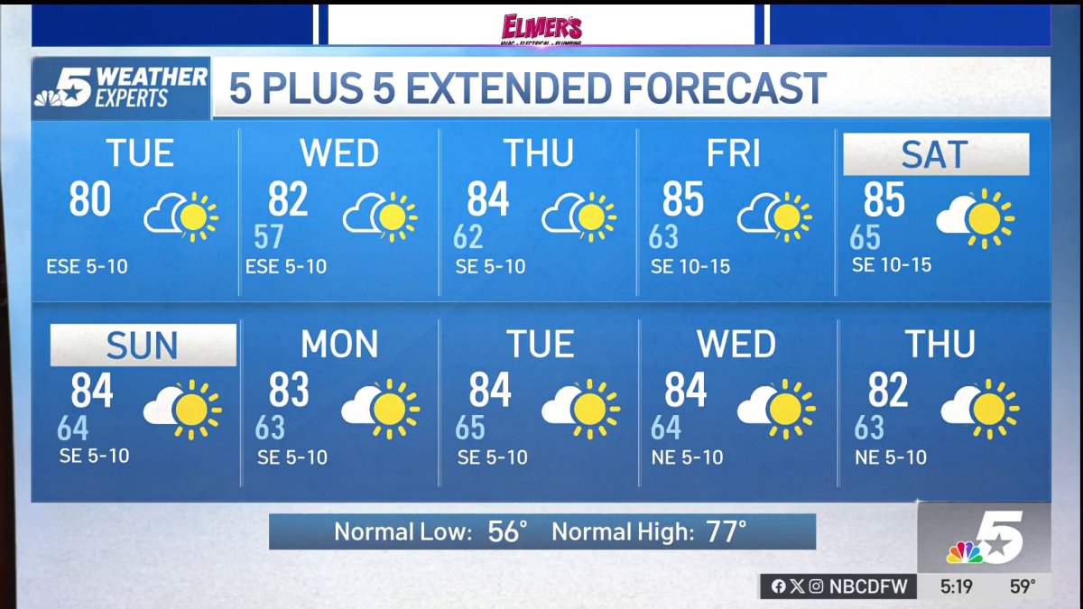 NBC 5 Forecast: A quiet weather pattern for North Texas
NBC 5 Dallas-Fort Worth NBC 5 Forecast: A quiet weather pattern for North Texas
Air quality
Acceptable. Unusually sensitive people should consider limiting prolonged outdoor exertion.
Forecast
- WedModerate
- ThuUnhealthy for Sensitive Groups
- FriUnhealthy for Sensitive Groups
Houston-Galveston-Brazoria, TX reporting area · 1 hr ago. Data from AirNow (EPA and its state, local and tribal partners); preliminary and subject to change.
Sun & moon
Almanac
MonthlyConroe, records since 1897. Normals 1991–2020. Data from NOAA's Regional Climate Centers (ACIS).
Nearby
- Cypress 55 km
- The Woodlands 30 km
- Conroe 13 km
- Spring 39 km
- Huntsville 34 km
- New Caney 40 km
- Humble 52 km
- Tomball 39 km
- West Livingston 55 km
- Cleveland 39 km
- Navasota 58 km
- Pinehurst 34 km
Forecasters' discussion
From the National Weather Service office in HGX, issued 5 hrs ago
Key Messages
- Warm and dry conditions expected through early next week.
- Elevated fire weather conditions are possible during the second half of the week.
Discussion
Issued at 1159 PM CDT Tue Oct 20 2026
High pressure continues to dominate the local weather pattern this week, with warm and dry conditions and light easterly winds persisting for the next several days. Tonight into Wednesday, however, we have a temporary increase in moisture for our southernmost counties. A plume of elevated PWATs (between ~1-1.8") creeps up towards the coast tonight and pushes to our west through Wednesday. These elevated PWATs provide more cloud cover and humidity than any rain chances, and we could see slightly elevated temperatures for the southern portion of our region (mid 80s). Our northern counties remain under the drying trend and thus won't see as warm a day as our southern counties will (low 80s). By Wednesday evening, that dry northern air will move further south, decreasing surface PWATs to less than 1 inch for much of the region. The relative humidity in the afternoons will lower into the mid 20s to lower 30s percent range, which could lead to elevated fire weather conditions.
The dry weather pattern persists through the weekend, with daytime heating steadily rising into the mid 80s with a few places (mostly south of I-10) trying for the upper 80s before next week. Low temperatures are seasonably chilly, generally in the 50s to 60s. Our next chance for rainfall could be next Tuesday, when GFS has a stark theta-e gradient push through our area. We're still far enough out that this could easily change, but long-range models have generally been hinting at a weather-shift towards the end of this month and into November. Until then, we embrace a warming trend that is at least not so humid.
BSM/Cotto
Aviation
(06Z TAF Issuance) Issued at 1159 PM CDT Tue Oct 20 2026
VFR conditions expected throughout the TAF period. A disturbance over the Gulf is progressing west into the Lower Texas Coast and will bring BKN/OVC decks between 040-060 tonight, mainly for areas near and south of I-10. These decks could stick around through the mid morning hours. A few showers could make it into the coastal areas during the night hours as well. NE winds will be light tonight, strengthening to 5-10 KTS by Wed morning. Winds could briefly shift more E Wed afternoon or evening.
Cotto
Marine
Issued at 1159 PM CDT Tue Oct 20 2026
Winds and seas will continue to relax throughout the night, with the Small Craft Advisory falling off at 1 AM on Wednesday. Afterwards, still in our long fetch of easterly winds ~15 kts, Caution Flags may be needed through Wednesday morning. Seas diminish throughout the day and subside to 2-4 ft by Wednesday evening. Rain offshore diminishes on Wednesday and PoPs are negligible through the weekend.
BSM/Cotto
Forecasts, observations and alerts in the United States come from the National Weather Service (NOAA); radar from NOAA's Multi-Radar Multi-Sensor system; satellite imagery from NASA's Global Imagery Browse Services (GIBS) and NOAA's GOES satellites; the map from the U.S. Geological Survey's National Map; air quality from AirNow (EPA and its partners); hurricane information from the National Hurricane Center; climate normals and records from NOAA's Regional Climate Centers (ACIS). Forecasts outside the United States and the UV index: MET Norway (CC BY 4.0); observations outside the U.S.: airport reports via NOAA's Aviation Weather Center. Place names: GeoNames (CC BY 4.0). Data are copied on a schedule and may lag the sources; for warnings that affect your safety, follow your local National Weather Service office and emergency officials. Weather news is drawn from the 4Search index and reflects what the press published. Terms of use.