Install
Red Oak, TX Weather
Current conditions
Observed at Midlothian/Waxahachie, Mid-Way Regional Airport · 42 min ago
Forecast
10-day-
Friday
Sunny. High near 84, with temperatures falling to around 82 in the afternoon. Southeast wind 0 to 5 mph.
-
Friday Night
Mostly clear, with a low around 58. Southeast wind 0 to 5 mph.
-
Saturday
Sunny. High near 84, with temperatures falling to around 82 in the afternoon. Southeast wind 0 to 10 mph.
National Weather Service forecast updated 21 hrs ago.
Hourly
Hourly forecast- Now62°
- 10 AM68°
- 11 AM73°
- 12 PM77°
- 1 PM81°
- 2 PM82°
- 3 PM83°
- 4 PM84°
- 5 PM82°
- 6 PM81°
- 7 PM77°
- 8 PM71°
- 9 PM70°
- 10 PM68°
- 11 PM67°
- Sat12 AM65°
- 1 AM64°
- 2 AM62°
- 3 AM61°
- 4 AM60°
- 5 AM59°
- 6 AM59°
- 7 AM58°
- 8 AM58°
Daily forecast
Details- ThuOct 22Sunny58°83°
- TodayOct 23Sunny58°84°
- SatOct 24Sunny60°84°
- SunOct 25Partly Sunny57°81°
- MonOct 26Mostly Sunny60°80°
- TueOct 27Slight Chance Rain Showers15%58°77°
- WedOct 28Mostly Sunny10%58°79°
- ThuOct 29Cloudy62°85°
- FriOct 30Cloudy64°82°
Days after the National Weather Service's seven are MET Norway's outlook, a computer model with no forecaster's review.
Radar
Full mapWeather news near Red Oak
More weather news-
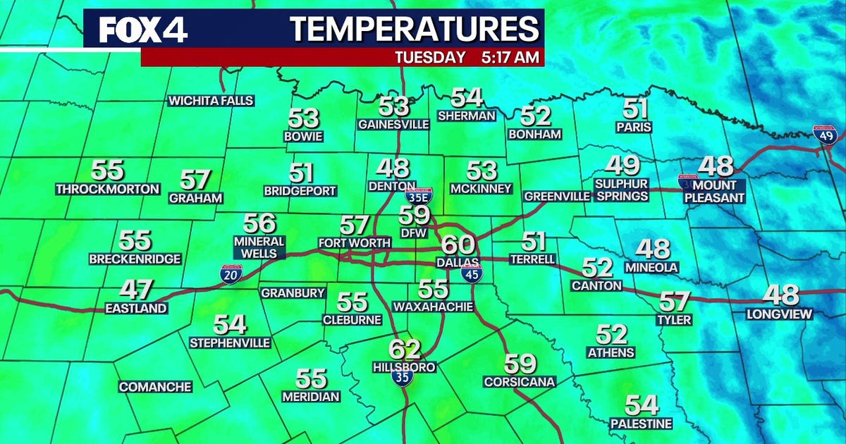 Dallas Weather: 80-degree highs return to North Texas
FOX 4's Ali Turiano has the morning forecast for Oct. 20. DALLAS - North Texans can expect pleasant weather to continue as afternoon highs return to the 80s starting today and last through the rest of the week. After…
-
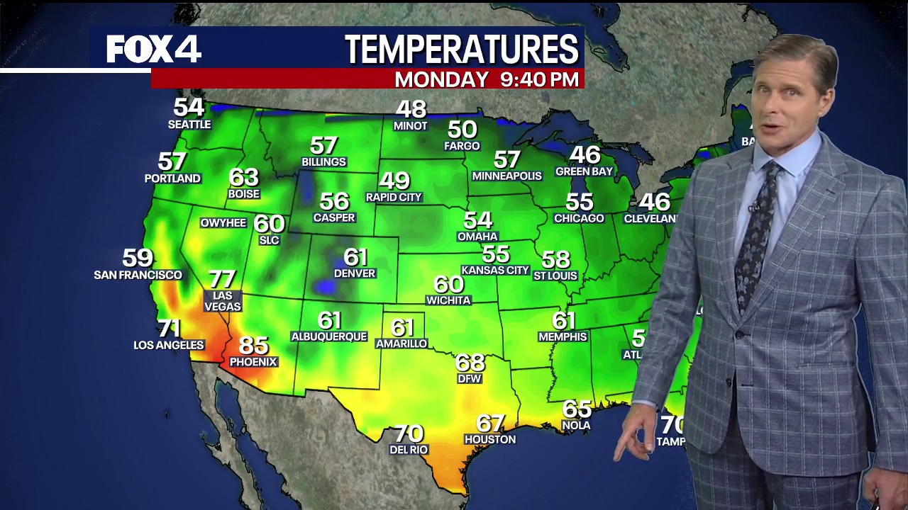 Dallas weather: October 19 overnight forecast
FOX 4 News Dallas-Fort Worth FOX 4 chief meteorologist Dan Henry has an overnight forecast for October 19 in North Texas.
-
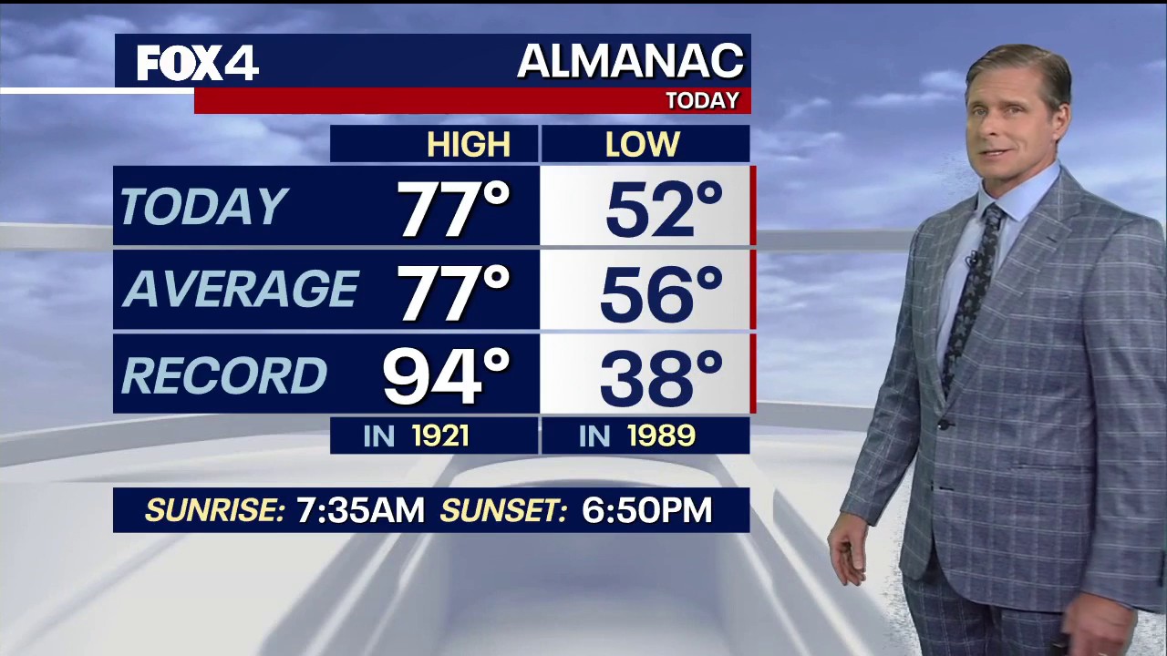 Dallas weather: October 19 evening forecast
FOX 4 News Dallas-Fort Worth It's cool in North Texas with a little more heat on the horizon. FOX 4 chief meteorologist Dan Henry has more in this evening forecast for October 19.
- Dallas Forecast: Sunny Days Warm Into the 80s as Regional Drought Persists
Dallas starts the week with a forecast for sunny, dry weather and a high near 77 degrees on Monday, Oct. 19. The National Weather Service forecast calls for a low around 55 Monday night, then highs near 81 Tuesday, 84…
-
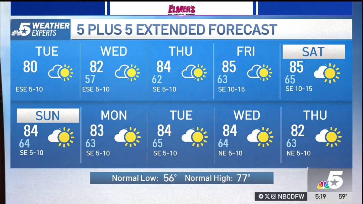 NBC 5 Forecast: A quiet weather pattern for North Texas
NBC 5 Dallas-Fort Worth NBC 5 Forecast: A quiet weather pattern for North Texas
-
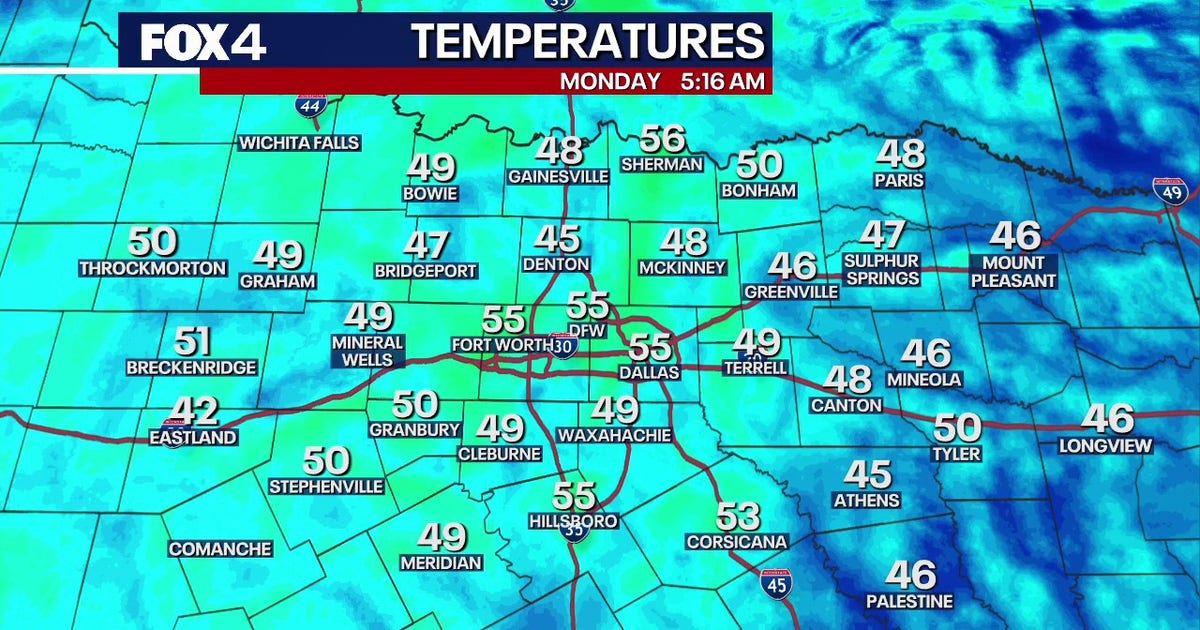 Dallas Weather: Dry week and warming temperatures ahead for DFW
FOX 4's Ali Turiano has the morning forecast for Oct. 19 in North Texas. DALLAS - North Texas will see zero rain and temperatures climbing into the mid-80s this week, while tropical systems remain safely offshore. The…
-
 Warmer temperatures return to Dallas-Fort Worth this week
Dallas-Fort Worth residents can expect warmer weather this week as temperatures begin to climb back up compared to last week. Matt Bishop, National Weather Service meteorologist, said the week will have a dry spell…
-
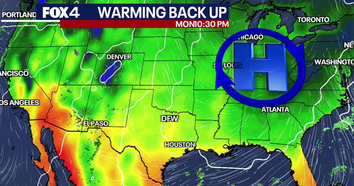 Dallas weather: Cool spell ends State Fair of Texas as steady warming trend approaches
Sunshine and the 70s on tap for your Sunday! After a chilly start, light E/SE winds take over and a few high clouds will stream overhead. We gradually start to climb through the work week as high pressure nudges back…
- Cool Morning, Hotter Days: Dallas Set for Late-October Sizzle
Dallas is forecast to start Sunday, October 18, with a mix of sun and clouds and temperatures around 57. The afternoon should be milder, with partly sunny skies, light east-southeast winds and a high near 74; no rain is…
-
 Weather quiz: Cloud ceiling
NBC 5 Dallas-Fort Worth Weather quiz: Cloud ceiling
Air quality
Acceptable. Unusually sensitive people should consider limiting prolonged outdoor exertion.
Forecast
- FriUnhealthy for Sensitive Groups Action day
- SatModerate
- SunModerate
Dallas-Fort Worth, TX reporting area · 1 hr ago. Data from AirNow (EPA and its state, local and tribal partners); preliminary and subject to change.
Sun & moon
Almanac
MonthlyDallas Redbird Ap, records since 1998. Normals 1991–2020. Data from NOAA's Regional Climate Centers (ACIS).
Nearby
- Dallas 30 km
- Fort Worth 54 km
- Arlington 37 km
- Plano 57 km
- Garland 47 km
- Irving 36 km
- Grand Prairie 31 km
- Mesquite 34 km
- Carrollton 49 km
- Richardson 48 km
- North Richland Hills 53 km
- Mansfield 32 km
Forecasters' discussion
From the National Weather Service office in FWD, issued 3 hrs ago
Key Messages
- Quiet weather and mostly dry conditions will continue through the weekend.
- A change in the weather pattern is expected next week, bringing slightly cooler temperatures and at least low rain chances.
Short Term
(Tonight through Saturday) Issued at 1144 PM CDT Thu Oct 22 2026
Anomalously strong mid-level ridging characterized by a 590 dam 500mb ridge axis will remain extended from the Southern Plains into the Mississippi Valley through the short term period. This will result in persistent above normal temperatures with highs in the 80s and lows mostly in the 60s heading into the weekend with essentially zero rain chances locally. Low humidity will maintain a fairly pleasant feel though, as dewpoints hover in the 40s and lower 50s through the next couple of days. Winds will remain fairly light out of the southeast, while some cirrus occasionally passes overhead associated with Four Corners troughing.
Long Term
(Saturday night through next Thursday) Issued at 1144 PM CDT Thu Oct 22 2026
Persistent mid-level troughing across the Intermountain West will continue through the rest of the weekend into early next week before the ejections of multiple shortwaves into the Central Plains gradually erodes the western periphery of the ridge axis. This will give way to increased ascent across West Texas and the Big Country while modest moisture return occurs, which could allow for low rain chances across our western zones late Monday or Tuesday. A small increase in mid/high cloud cover associated with this impinging troughing could shave a couple degrees off of high temperatures through the early/middle portion of next week, but highs will remain soundly above normal in the upper 70s and lower 80s. Richer moisture return looks to occur mid to late week ahead of a deeper Central Plains trough and a more significant pattern shift. This time frame (currently Thursday-Friday) should offer the next noteworthy chances for showers and thunderstorms across much of the area which may be accompanied by a frontal intrusion as well.
Aviation
(12Z TAFS) Issued at 538 AM CDT Fri Oct 23 2026
VFR will prevail through the period with light southeast winds at 5-10 kt. FEW/SCT cirrus will occasionally pass overhead through tonight.
Forecasts, observations and alerts in the United States come from the National Weather Service (NOAA); radar from NOAA's Multi-Radar Multi-Sensor system; satellite imagery from NASA's Global Imagery Browse Services (GIBS) and NOAA's GOES satellites; the map from the U.S. Geological Survey's National Map; air quality from AirNow (EPA and its partners); hurricane information from the National Hurricane Center; climate normals and records from NOAA's Regional Climate Centers (ACIS). Forecasts outside the United States and the UV index: MET Norway (CC BY 4.0); observations outside the U.S.: airport reports via NOAA's Aviation Weather Center. Place names: GeoNames (CC BY 4.0). Data are copied on a schedule and may lag the sources; for warnings that affect your safety, follow your local National Weather Service office and emergency officials. Weather news is drawn from the 4Search index and reflects what the press published. Terms of use.