Install
Horseshoe Bay, TX Weather
Current conditions
Forecast for this hour (no station report in the last two hours)
Forecast
10-day-
Sunday Night
Mostly cloudy, with a low around 58. Southeast wind 0 to 5 mph.
-
Monday
Partly sunny, with a high near 79. East southeast wind 0 to 5 mph.
-
Monday Night
Mostly cloudy, with a low around 60. East wind 0 to 5 mph.
National Weather Service forecast updated 2 days ago.
Hourly
Hourly forecast- Now69°
- 11 PM68°
- Mon12 AM67°
- 1 AM66°
- 2 AM64°
- 3 AM62°
- 4 AM60°
- 5 AM59°
- 6 AM58°
- 7 AM58°
- 8 AM60°
- 9 AM63°
- 10 AM67°
- 11 AM70°
- 12 PM73°
- 1 PM76°
- 2 PM78°
- 3 PM79°
- 4 PM79°
- 5 PM78°
- 6 PM77°
- 7 PM75°
- 8 PM72°
- 9 PM70°
10-day forecast
Details- TonightOct 23Mostly Clear60°
- SatOct 24Mostly Sunny63°84°
- TodayOct 25Mostly Cloudy58°80°
- MonOct 26Partly Sunny60°79°
- TueOct 27Slight Chance Rain Showers16%60°77°
- WedOct 28Mostly Sunny61°80°
- ThuOct 29Partly Sunny then Chance Showers And Thunderstorms32%62°81°
- FriOct 30Chance Rain Showers50%77°
- SatOct 31Cloudy61°80°
- SunNov 1Cloudy70°86°
Days after the National Weather Service's seven are MET Norway's outlook, a computer model with no forecaster's review.
Radar
Full mapWeather news in Texas
More weather news-
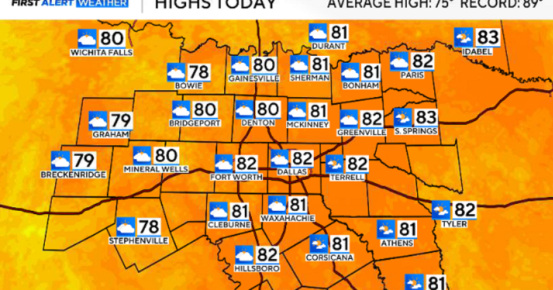 North Texas gets a warm, mild Sunday ahead of clouds and wind this week
October 25, 2026 / 6:51 AM CDT / CBS Texas Expect a warm and dry stretch of weather in North Texas over the next few days, with highs staying in the 80s, but we will see a pattern change as rain chances move in around…
-
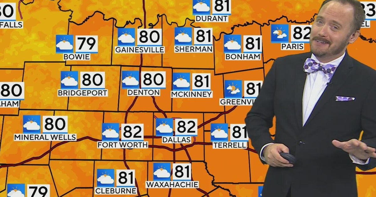 Warm, mild Sunday ahead for North Texas
CBS News Bay Area Morning Edition Weekend 6am WBZ This Morning 8am CBS Colorado Mornings Weekend CBS News Los Angeles Weekend 6am CBS Miami News Sunday Morning CBS News New York Sunday 8am KDKA News This Morning Sunday…
-
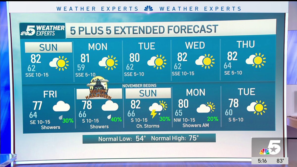 NBC 5 Forecast: A quiet weather pattern continues for North Texas
NBC 5 Dallas-Fort Worth NBC 5 Forecast: A quiet weather pattern continues for North Texas NBC 5 Forecast: Above normal temps, but still nice NBC 5 Forecast: Cool mornings and pleasant afternoons for North Texas
-
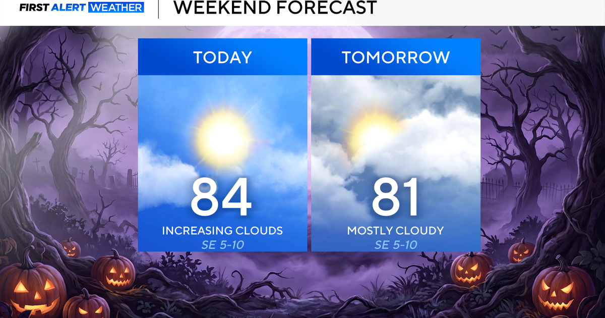 North Texas seeing rain chances return next week
October 24, 2026 / 7:21 AM CDT / CBS Texas North Texas was off to a seasonable start on Saturday morning, with temperatures mainly in the 50s. Temperatures will remain above average this weekend, with highs in the lower…
-
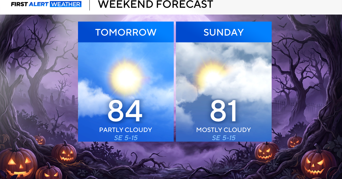 Clouds build in over the weekend as temperatures stay above average in the 80s across North Texas
October 23, 2026 / 8:00 AM CDT / CBS Texas North Texans are waking up to temperatures mainly in the 50s and 60s on Friday morning, with some clouds across portions of the area. In the afternoon and into the weekend…
- Video: What the Super El Niño Means for Texas This Winter
The Gilmer Mirror
-
 Josephine in Atlantic drifts away, but Pacific moisture might spoil Halloween for Texas
Subtropical Storm Josephine in the North Atlantic is racing away from the United States, while moisture from a strengthening eastern Pacific storm could bring rain to Texas around Halloween next week. Josephine's center…
-
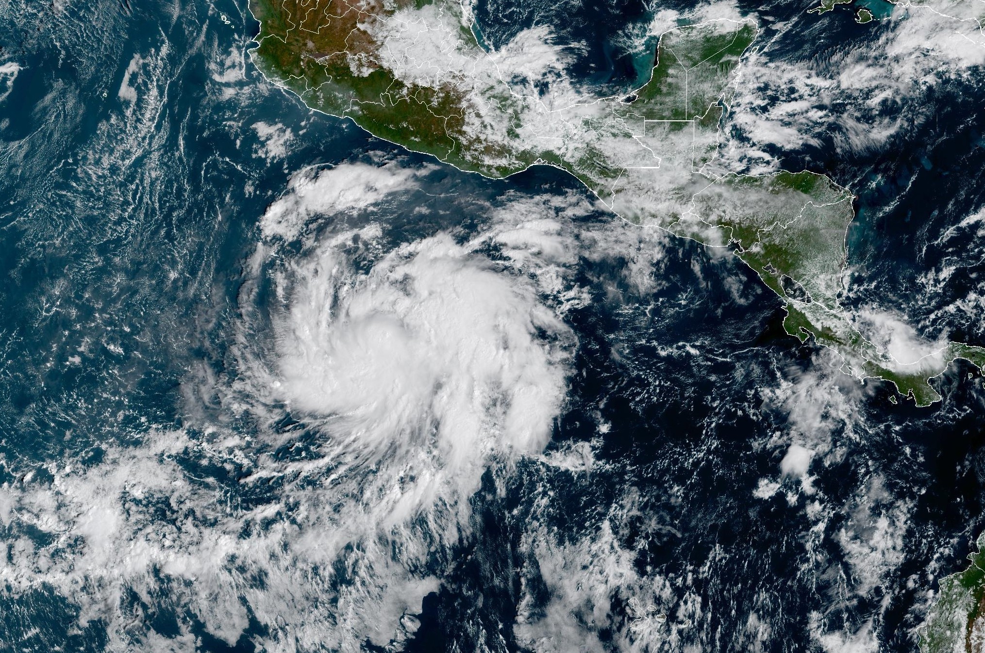 Tropical Storm Vance forms near Mexico. Will it affect Texas?
From there, some weather models show that moisture from Vance could move into parts of South Texas, bringing enhanced rain chances to places like the Rio Grande Valley, San Antonio, and Corpus Christi. Exactly when…
-
 Hometown Sizzle: Texas Chili For Chilly Weather
WDBJ7 Hometown Sizzle: Texas Chili For Chilly Weather STYLE & SAVINGS: Goodwill Offers Tips For Thrifting Halloween Costumes VDOT: Overhead Flashers In Franklin County Live on Rte. 220
-
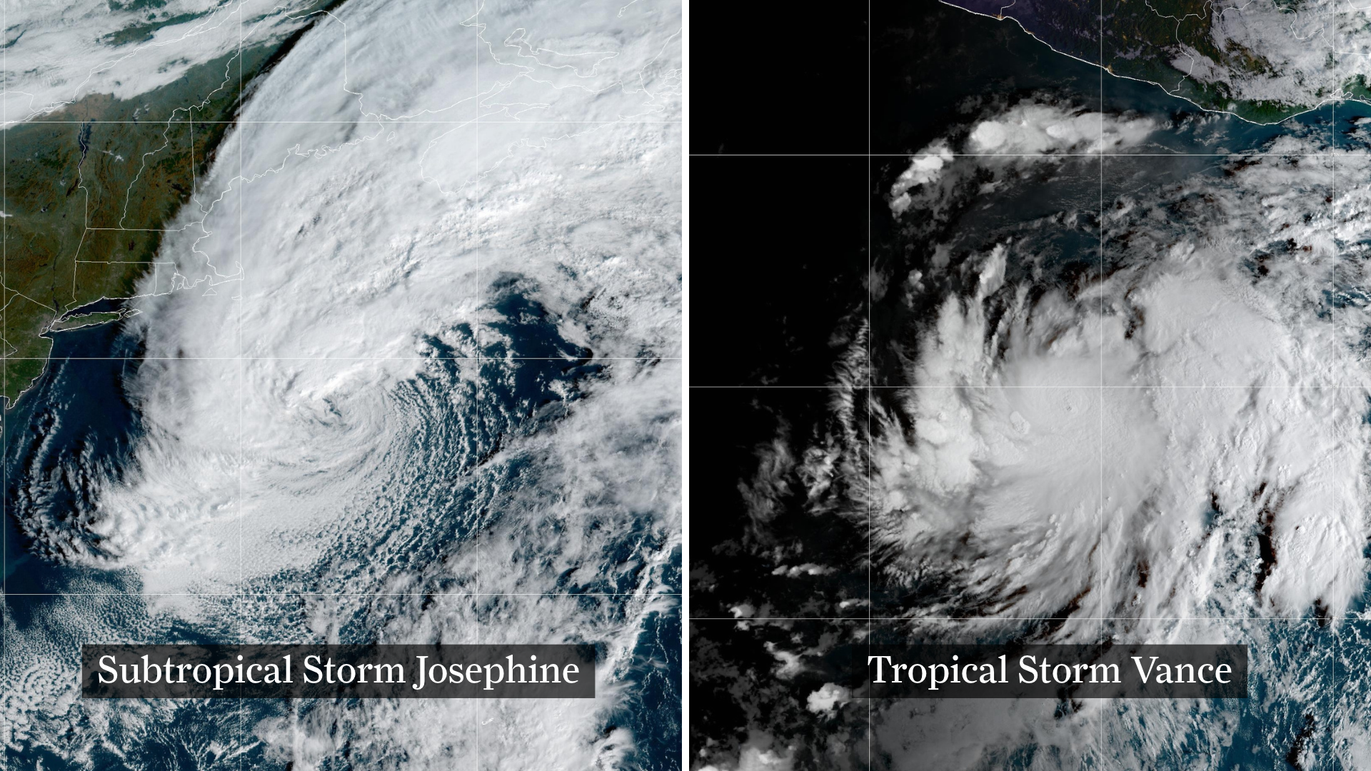 Josephine drifts away, Pacific moisture might spoil Halloween in Texas
From left, weather satellite images show Subtropical Storm Josephine in the North Atlantic and Tropical Storm Vance in the eastern Pacific. Josephine will continue strengthening off the coast of New England and the…
Air quality
Air quality is satisfactory, and air pollution poses little or no risk.
Forecast
- SunModerate
- MonModerate
- TueGood
Austin, TX reporting area · 2 hrs ago. Data from AirNow (EPA and its state, local and tribal partners); preliminary and subject to change.
Sun & moon
Almanac
MonthlyBurnet, records since 1896. Normals 1991–2020. Data from NOAA's Regional Climate Centers (ACIS).
Nearby
- Cedar Park 53 km
- Leander 50 km
- Lakeway 43 km
- Fredericksburg 56 km
- Lago Vista 38 km
- Bee Cave 49 km
- Marble Falls 10 km
- Burnet 28 km
- Kingsland 14 km
- Granite Shoals 5 km
- Lost Creek 58 km
- Llano 37 km
Forecasters' discussion
From the National Weather Service office in EWX, issued 3 hrs ago
Key Messages
Updated at 631 PM CDT Sun Oct 25 2026
- Mild to warm conditions continue through the week.
- Periodic rain chances return early in the week with the highest chances Thursday and Friday for the southern Edwards Plateau and Rio Grande Plains (65 to 85% for those areas).
Short Term
(Tonight through Monday night) Issued at 124 PM CDT Sun Oct 25 2026
An expansive plume of cirrus is spreading north across the region this afternoon as upper-level moisture sheared off from Hurricane Vance in the eastern Pacific rides the corridor between an upper ridge to our east and the upper trough to our west. The more favorable synoptic forcing for ascent is displaced to our west and relatively stable air at 0-3 km is still being transported from the east, so the impact of this moisture will largely be limited to clouds slightly reducing daytime temperatures. A shortwave trough traverses the Edwards Plateau Monday, but there won't be much deep- layer moisture to work with ahead of that trough. A few of the hi- res models including the HRRR and HRWs develop a batch of showers over Mexico that moves across the southern Edwards Plateau Monday afternoon, but a lack of instability should keep their intensity low. Slightly higher low-level moisture from southeasterly flow along the Rio Grande may produce an occasional stray shower within the Coastal Plains to Rio Grande Plains through Monday afternoon, but most other areas should stay dry.
Highs today and Monday are forecast to reach the upper 70s to mid 80s for most of the region. Temperatures tonight will be cooler as dry low-level air moves over the area, most noticeably for those north of Interstate 10. High clouds will dampen the radiational cooling somewhat, but rural portions of the Austin area and Hill Country should dip into the mid 50s, with upper 50s to mid 60s elsewhere. A late-arriving increase in Gulf moisture arrives Monday night, which should restore milder conditions Monday night into Tuesday morning.
Long Term
(Tuesday through next Sunday) Issued at 124 PM CDT Sun Oct 25 2026
Midweek moisture will be more plentiful as southerly flow responds to broad diffluence over the Rockies and Plains. While there isn't a distinct disturbance to take advantage of this moisture Tuesday and Wednesday, the moist onshore flow and neutrally stable environment afforded by the broad longwave troughing over the western US suggest opportunities for scattered light to moderate showers and a few isolated thunderstorms Tuesday and Wednesday emanating from the coastal bend. Low to medium chances for rain extend from the Coastal Plains through the I-35 corridor towards the Hill Country, with the best chances (40-50%) south of the San Antonio area Tuesday afternoon, shifting eastward to the Highway 77 corridor on Wednesday as weak shortwave ridging moves over the area. Regional rain amounts should generally be in the range of a few tenths from this activity, though an isolated spot could forseeably pick up an inch from a heavier shower or storm.
Better rain chances arrive later in the week as a broad trough arriving over the Baja California on Thursday results in more meridional flow in the subtropical jet. This pattern is well timed to siphon off additional moisture and energy from Hurricane Vance, which is forecast to decay off the Pacific Mexican coast later this week. Modeled PWATs from the long range ensembles are clustered around 1.6 to 1.9 inches, or above the 90th percentile for late October. This moisture will provide an opportunity for scattered to widespread rain with some directly associated with the moisture plume and diffluence aloft and others moving inland as feeder showers and storms from the coast. The latest models have shown a focus for rainfall (both in likelihood and magnitude) mainly stretching from the Rio Grande Plains northward to the southern Edwards Plateau, aligned with the strongest vapor transport and potentially limited on its eastern extent by somewhat more stable conditions accompanying the surface high pressure over the Eastern US. Rain chances increase Thursday as the moisture arrives, and there is good consensus that the rain intensity peaks Thursday night through Friday morning as a 30 kt low-level jet ramps up along the Rio Grande, likely becoming slightly more diffuse and shifting north and east Friday afternoon. The peak rain chances are highest (65- 85%) along the Rio Grande and southern Edwards Plateau, including the Del Rio area, and decrease eastward (to about 20-40%) towards the Coastal Plains. There has been a recent uptick in mean ensemble forecast rain amounts along the Rio Grande and southern Edwards Plateau in recent runs, consistent with the focusing of moisture over those areas. While the 15-25 kt deep-layer flow should keep individual showers moving at a steady clip, the long channel of moisture and high PWAT values indicate opportunities for recurring and at times heavy rain. The latest ECMWF EFI guidance suggests a potential for locally heavier amounts over the southern Edwards Plateau and along the Rio Grande. Thus, we'll be keeping an eye on a potential isolated flood risk mainly late Thursday into Friday morning. At present, the main risk area is west of the I-35 corridor, extending to the Rio Grande.
The bulk of the tropical Pacific moisture plume should cycle past our area by Saturday. A weak shortwave trough may reinvigorate showers north of I-10 on Saturday for a final round of wet weather, but rain chances generally decrease through the weekend. Skies clear some as the shortwave pattern becomes slightly anticyclonic, but the continued presence of southwesterly flow aloft will probably keep cirrus streaming over the area.
Daytime high temperatures throughout the week are expected to hover in the mid 70s to mid 80s, varying with cloud cover and rain. Thursday and Friday could trend cooler over the southern Edwards Plateau and Rio Grande if the rain signal continues to be concentrated there. Overnight temperatures remain steadily in the 60s, slightly above seasonal normals.
Aviation
(00Z TAFS) Issued at 631 PM CDT Sun Oct 25 2026
The forecast remains on track with primarily ESE winds at 5-10 kts and VFR ceilings at AUS, SAT, and SSF. Winds will drop to less than 5 kts through most of the night before picking back up around lunchtime Monday. Meanwhile, at DRT, opted to drop MVFR to less than 2k feet and add in -SHRA to a FM group beyond 19Z tomorrow hedging on chances for showers at the terminal.
Forecasts, observations and alerts in the United States come from the National Weather Service (NOAA); radar from NOAA's Multi-Radar Multi-Sensor system; satellite imagery from NASA's Global Imagery Browse Services (GIBS) and NOAA's GOES satellites; the map from the U.S. Geological Survey's National Map; air quality from AirNow (EPA and its partners); hurricane information from the National Hurricane Center; climate normals and records from NOAA's Regional Climate Centers (ACIS). Forecasts outside the United States and the UV index: MET Norway (CC BY 4.0); observations outside the U.S.: airport reports via NOAA's Aviation Weather Center. Place names: GeoNames (CC BY 4.0). Data are copied on a schedule and may lag the sources; for warnings that affect your safety, follow your local National Weather Service office and emergency officials. Weather news is drawn from the 4Search index and reflects what the press published. Terms of use. How to use Weather