Install
Big Spring, TX Weather
Current conditions
Observed at Big Spring, Big Spring McMahon-Wrinkle Airport · 1 hr ago
Forecast
10-day-
Tuesday
Sunny, with a high near 79. Southeast wind 5 to 15 mph.
-
Tuesday Night
Mostly clear, with a low around 57. Southeast wind 5 to 10 mph.
-
Wednesday
Sunny, with a high near 82. Southeast wind 5 to 10 mph.
National Weather Service forecast updated 5 hrs ago.
Hourly
Hourly forecast- Now53°
- 7 AM52°
- 8 AM52°
- 9 AM56°
- 10 AM62°
- 11 AM67°
- 12 PM70°
- 1 PM74°
- 2 PM77°
- 3 PM79°
- 4 PM79°
- 5 PM79°
- 6 PM78°
- 7 PM74°
- 8 PM72°
- 9 PM69°
- 10 PM67°
- 11 PM65°
- Wed12 AM64°
- 1 AM63°
- 2 AM62°
- 3 AM60°
- 4 AM59°
- 5 AM58°
10-day forecast
Details- TonightOct 19Partly Cloudy52°
- TodayOct 20Sunny57°79°
- WedOct 21Sunny57°82°
- ThuOct 22Mostly Sunny60°82°
- FriOct 23Mostly Sunny61°81°
- SatOct 24Slight Chance Rain Showers40%62°77°
- SunOct 25Chance Rain Showers51%59°72°
- MonOct 26Chance Rain Showers30%71°
- TueOct 27Cloudy49°64°
- WedOct 28Sunny43°65°
Days after the National Weather Service's seven are MET Norway's outlook, a computer model with no forecaster's review.
Radar
Full mapWeather news near Big Spring
More weather news- Sunshine and 80-degree highs before a weekend cooldown
KNOP Warmer weather continues through the middle of the week, with highs reaching the mid to upper 70s Wednesday and Thursday. by Friday, temperatures could climb near 80 degrees, though breezy conditions are expected…
-
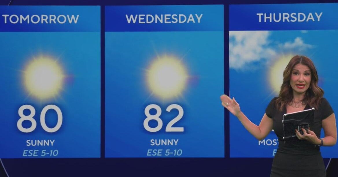 Beautiful stretch of weather continues across North Texas
The Takeout with Major Garrett CBS News Chicago 4pm CBS News Detroit 5pm CBS News Miami 5pm The 4 from WCCO News CBS News New York 5pm CBS News Philadelphia 5pm CBS News Texas at 4pm
-
 Texas Warms Back Up, West Texas Rain Chances Return by Friday | Texas Weather Roundup
Crashy the Cold Front is long gone, and Texas is warming back up. South winds and a little more humidity are back this week. Most of the state stays dry, but rain chances creep back into West Texas by Thursday and…
-
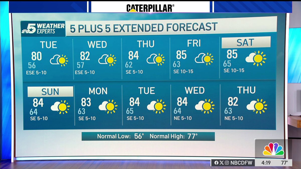 NBC 5 Forecast: A quiet weather pattern for North Texas
NBC 5 Dallas-Fort Worth NBC 5 Forecast: A quiet weather pattern for North Texas
-
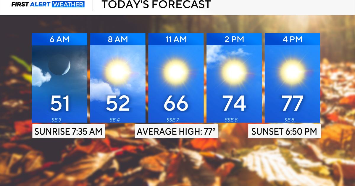 Expect a beautiful fall week across North Texas with cool mornings, temperatures in the 70s and 80s
October 19, 2026 / 6:30 AM CDT / CBS Texas It will be a beautiful and mild start to the week. Expect high clouds to dissipate throughout Monday, mild winds from the southeast and temperatures to top out in the upper 70s…
-
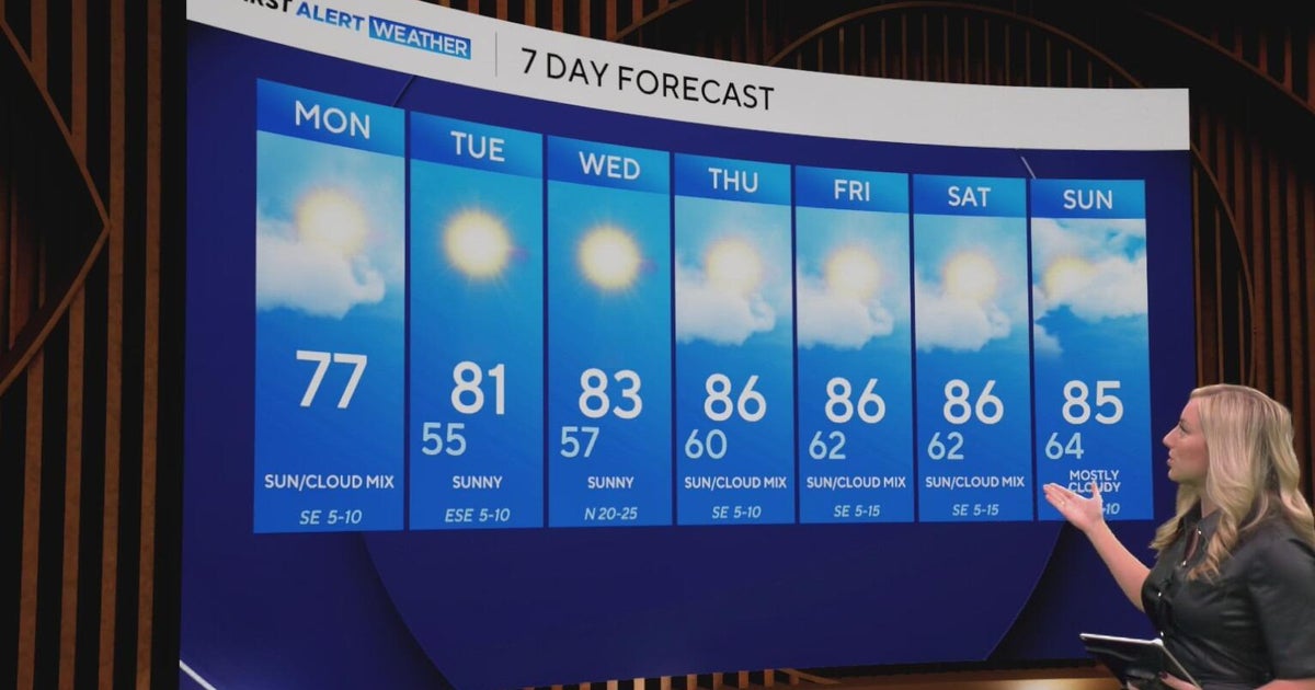 Cool and crisp morning in store for North Texas as temperatures top out in 70s, 80s this week
CBS News Baltimore 8am CBS News Boston 8am CBS News Chicago 7am CBS News Colorado This Morning 6am CBS News Los Angeles Mornings 5am CBS News Miami 8am CBS News New York 8am CBS News Texas 7am
-
 Texas braces for warming trend after shocking cold front
Will fall conditons end anytime soon in Texas? The National Weather Service says a warming trend is in store for the state. How long will cooler, fall-like temperatures hang on across Texas? Forecasters with the…
-
 NWS: Here's when Central Texas will finally cool down for the year
A cold front hit Texas last weekend, bringing a boon for those San Antonio temperatures that make fall feel more like summer part two. But when can residents in South Central Texas expect for the weather to actually…
-
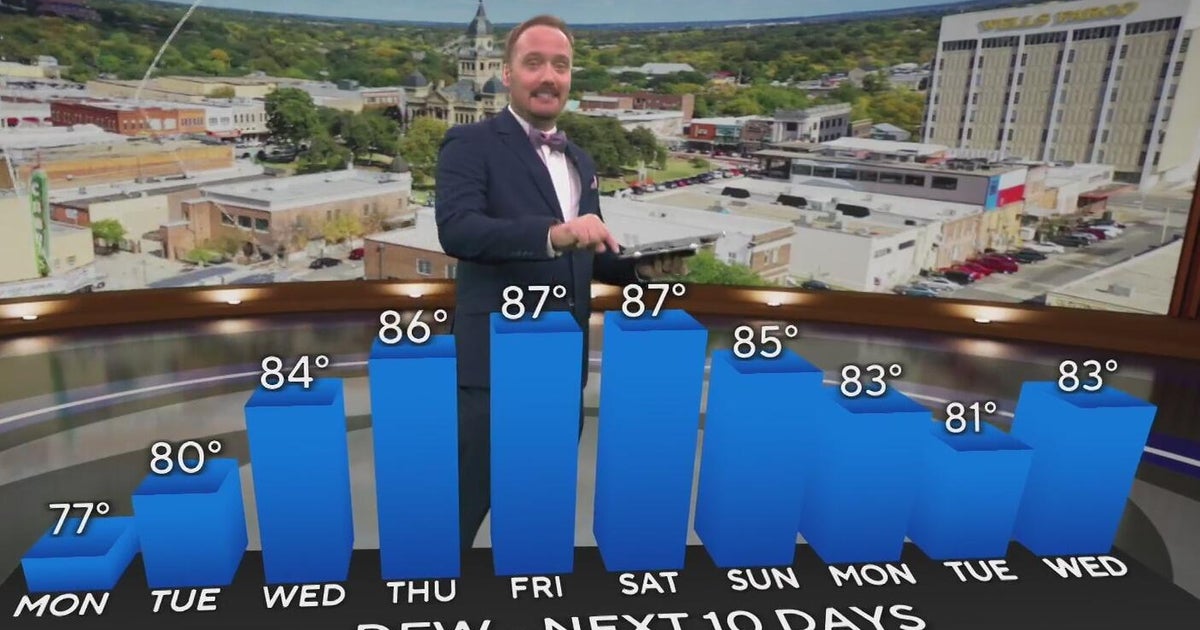 Temperatures climb in North Texas this week
CBS News Colorado Weekend 5pm CBS News Detroit Weekend 6:30pm CBS News Miami 6:30pm CBS Philadelphia at 6:30pm KDKA News Weekends 6:30pm Your Stories From Your Community Reporters CBS News Texas 5:30pm
-
 Perfect weather for Central Texas, gradual warm up this week
KXXV I am loving the picture perfect Fall weather! Highs in the 70s Sunday and will remain in the upper- 70s for Monday.The only thing is that it's been a bit cold at night (for some) with low temperatures hitting 46…
Air quality
Air quality is satisfactory, and air pollution poses little or no risk.
Forecast
- TueGood
- WedModerate
- ThuModerate
Midland-Odessa, TX reporting area · 53 min ago. Data from AirNow (EPA and its state, local and tribal partners); preliminary and subject to change.
Sun & moon
Nearby
- Colorado City 60 km
- Stanton 32 km
Forecasters' discussion
From the National Weather Service office in MAF, issued 4 hrs ago
Key Messages
Updated at 225 AM CDT Tue Oct 20 2026
- Temperatures trend back to slightly above normal this week.
- Low to medium (20-60%) rain chances return late Thursday through Saturday. The best chance of rain will be over our western counties.
Short Term
(Today through Wednesday afternoon) Issued at 225 AM CDT Tue Oct 20 2026
A disturbance that caused severe weather yesterday across S NM has weakened, but continues to spread clouds across the higher terrain. This has kept temperatures more mild and mostly in the 60s while areas to the east have fallen into the 50s. While a shower or two is possible across Eddy Co. with this passing disturbance, we don't expect any impacts.
Mid level ridging will quickly build over the region today helping to increase subsidence. This will push any convective activity even further west the next several days. Temperatures will continue to trend upward with highs back into the 80s into midweek with lows generally in the 50s.
Long Term
(Wednesday night through Monday) Issued at 225 AM CDT Tue Oct 20 2026
Ridging will dominate our weather through the week with temperatures continuing above normal. Rain chances remain at zero until late Thursday at the earliest when the ridge finally breaks down and southwesterly flow increases aloft. This will be the beginning of an extended period of rain chances as general troughing remains to our west into next week. Given this pattern, will need to monitor for a heavy rain threat, especially if we see any moisture from a very active Eastern Pacific hurricane season.
Aviation
(06Z TAFS) Issued at 1031 PM CDT Mon Oct 19 2026
VFR conditions will prevail next 24 hours in light return flow, w/some high clouds.
Forecasts, observations and alerts in the United States come from the National Weather Service (NOAA); radar from NOAA's Multi-Radar Multi-Sensor system; satellite imagery from NASA's Global Imagery Browse Services (GIBS) and NOAA's GOES satellites; the map from the U.S. Geological Survey's National Map; air quality from AirNow (EPA and its partners); hurricane information from the National Hurricane Center; climate normals and records from NOAA's Regional Climate Centers (ACIS). Forecasts outside the United States and the UV index: MET Norway (CC BY 4.0); observations outside the U.S.: airport reports via NOAA's Aviation Weather Center. Place names: GeoNames (CC BY 4.0). Data are copied on a schedule and may lag the sources; for warnings that affect your safety, follow your local National Weather Service office and emergency officials. Weather news is drawn from the 4Search index and reflects what the press published. Terms of use.