Install
Bartlett, TX Weather
Current conditions
Forecast for this hour (no station report in the last two hours)
Forecast
10-day-
This Afternoon
Sunny, with a high near 85. East northeast wind around 5 mph.
-
Tonight
Mostly clear, with a low around 57. South southeast wind 0 to 5 mph.
-
Friday
Sunny, with a high near 85. East wind 0 to 10 mph.
National Weather Service forecast updated 2 hrs ago.
Hourly
Hourly forecast- Now84°
- 4 PM85°
- 5 PM84°
- 6 PM82°
- 7 PM77°
- 8 PM72°
- 9 PM69°
- 10 PM66°
- 11 PM64°
- Fri12 AM64°
- 1 AM63°
- 2 AM61°
- 3 AM60°
- 4 AM59°
- 5 AM58°
- 6 AM57°
- 7 AM57°
- 8 AM57°
- 9 AM62°
- 10 AM69°
- 11 AM74°
- 12 PM78°
- 1 PM82°
- 2 PM83°
Daily forecast
Details- TodayOct 22Sunny57°85°
- FriOct 23Sunny58°85°
- SatOct 24Mostly Sunny60°86°
- SunOct 25Partly Sunny55°82°
- MonOct 26Mostly Sunny15%59°81°
- TueOct 27Slight Chance Rain Showers24%56°77°
- WedOct 28Mostly Sunny57°80°
- ThuOct 29Showers0.12 in65°85°
- FriOct 30Heavy rain0.22 in66°73°
Days after the National Weather Service's seven are MET Norway's outlook, a computer model with no forecaster's review.
Radar
Full mapWeather news in Texas
More weather news-
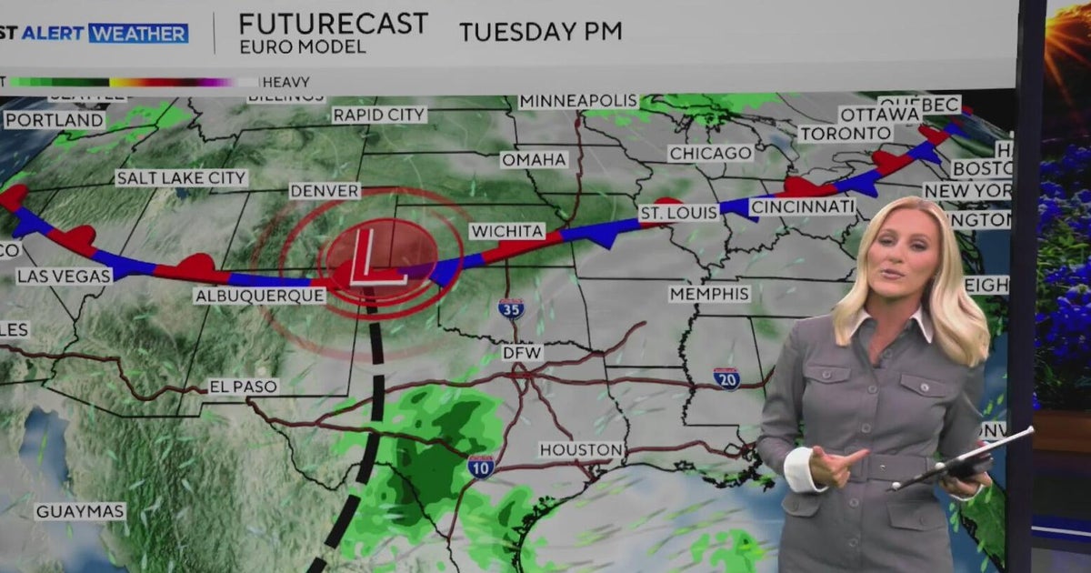 Warm, sunny weather continues in North Texas before clouds return
North Texas will continue enjoying above-average temperatures and sunny skies through the end of the workweek, with highs climbing into the mid-80s by Friday. Clouds begin moving in on Sunday, bringing a little less…
-
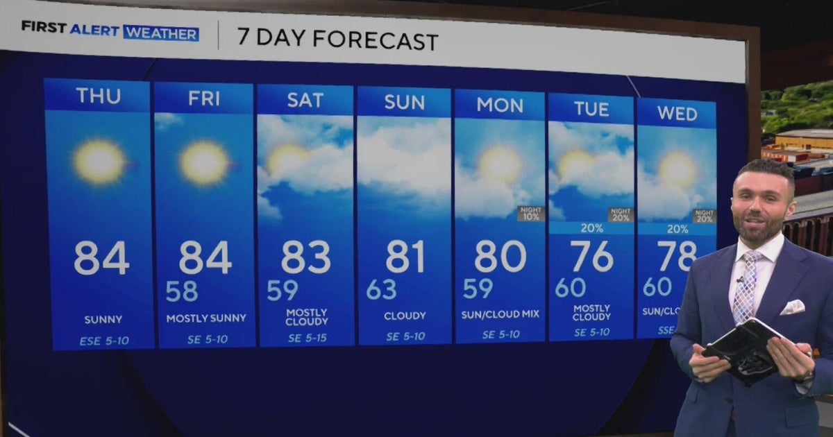 Cloudy, warm weekend on deck as temperatures stay in the low 80s in North Texas
CBS News Baltimore 8am CBS News Boston 8am CBS News Chicago 7am CBS News Colorado This Morning 6am CBS News Los Angeles Mornings 5am CBS News Miami 8am CBS News New York 8am CBS News Texas 7am
-
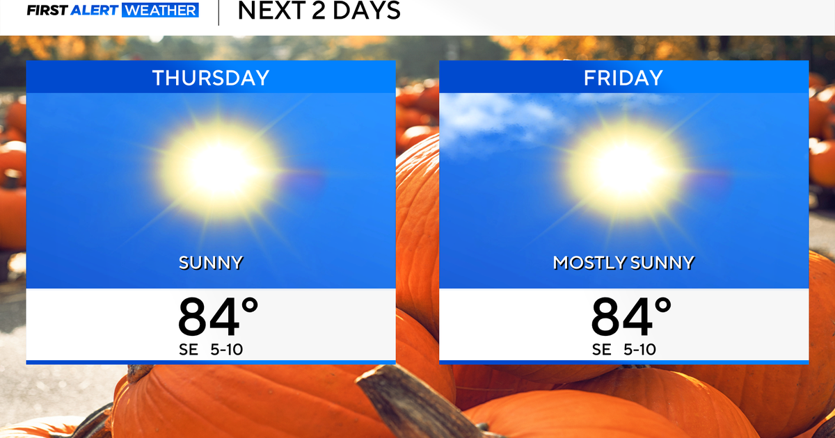 Temperatures to stay in 80s through weekend as clouds increase across North Texas
October 22, 2026 / 7:57 AM CDT / CBS Texas Temperatures are in the 50s and low 60s when you step outside to start your day. The forecast is almost identical to Wednesday, with sunshine and highs in the 80s in store for…
-
 The Biggest Weather Myths About Texas We All Believe are True
(Tyler, Texas) - I have always been fascinated by our weather in East Texas. Even when we think we've got it down what it's going to do outside, it changes on us five minutes later. It makes it hard for us to figure out…
-
 Hail, flooding and cold front headed for parts of Texas. Here's where.
Severe weather could bring large hail to West Texas. Parts of Texas could face several days of severe weather, with storms kicking off today and potentially lasting through the weekend. Scattered to numerous…
-
 Cold front may plummet Texas temperatures. Here's when
Cold front barreling toward Texas may plummet temps. Here's when MySA San Antonio isn't headed for a permanent cool-down just yet, but cold front after cold front has been providing some relief from summer-like…
-
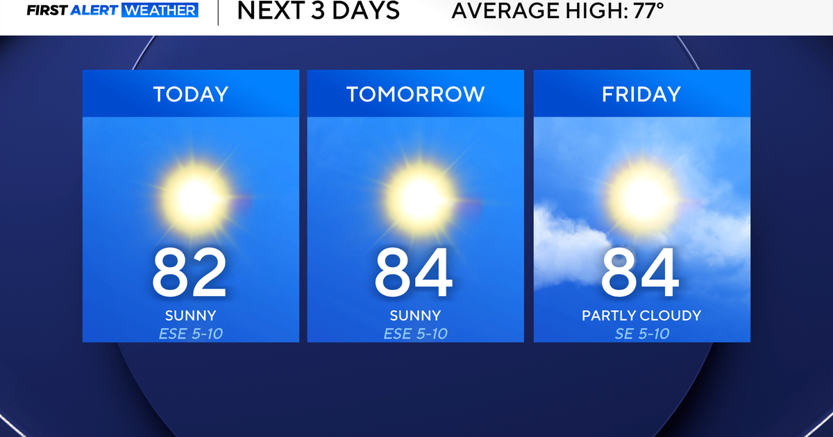 North Texas highs remain in the low 80s to close the work week
October 21, 2026 / 7:29 AM CDT / CBS Texas Wednesday morning temperatures were once again in the 50s in North Texas, providing another refreshing start. Be sure to grab a jacket for this morning and have the sunglasses…
-
 Could El Niño bring an early freeze across Texas? Here’s a look.
The first freeze across South and Central Texas normally arrives during late November to early December, but El Niño can sometimes bring an earlier freeze to the regions. Last week’s cold front brought the chilliest air…
-
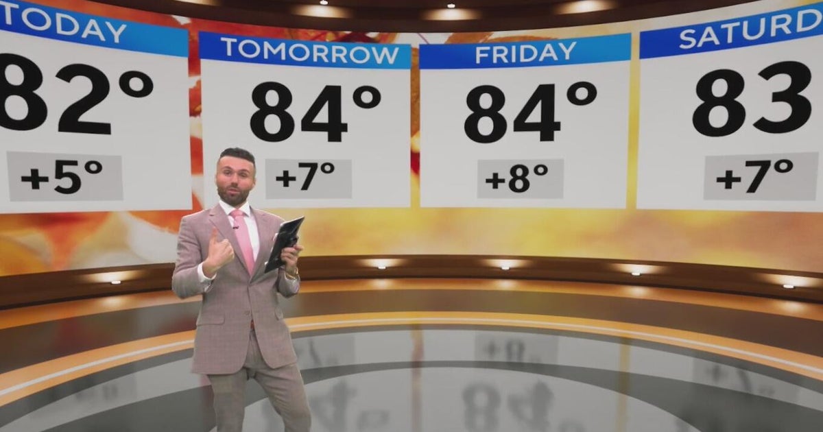 North Texas high temps set to hit the low 80s to end the week
CBS News Baltimore 8am CBS News Boston 8am CBS News Chicago 7am CBS News Colorado This Morning 6am CBS News Los Angeles Mornings 5am CBS News Miami 8am CBS News New York 8am CBS News Texas 7am
-
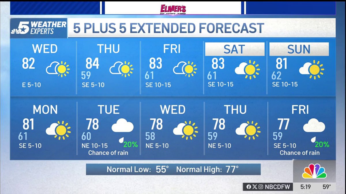 NBC 5 Forecast: A quiet weather pattern continues for North Texas
NBC 5 Dallas-Fort Worth NBC 5 Forecast: A quiet weather pattern continues for North Texas
Air quality
Acceptable. Unusually sensitive people should consider limiting prolonged outdoor exertion.
Forecast
- ThuModerate
- FriModerate
- SatModerate
Austin, TX reporting area · 1 hr ago. Data from AirNow (EPA and its state, local and tribal partners); preliminary and subject to change.
Sun & moon
Almanac
MonthlyGeorgetown Lake, records since 1980. Normals 1991–2020. Data from NOAA's Regional Climate Centers (ACIS).
Nearby
- Killeen 46 km
- Round Rock 40 km
- Temple 35 km
- Cedar Park 50 km
- Georgetown 30 km
- Leander 47 km
- Pflugerville 44 km
- Copperas Cove 58 km
- Fort Cavazos 50 km
- Harker Heights 39 km
- Hutto 30 km
- Brushy Creek 43 km
Forecasters' discussion
From the National Weather Service office in FWD, issued 2 hrs ago
Key Messages
- Quiet weather and mostly dry conditions will continue through the weekend.
- A change in the weather pattern is expected next week, bringing cooler temperatures and at least low rain chances.
Short Term
(This afternoon through Friday night) Issued at 1230 PM CDT Thu Oct 22 2026
Not much change in the weather pattern in the short-term as an upper-level ridge remains in control over the region. Afternoon temperatures will be slightly warmer today and tomorrow with highs mainly in the mid 80s as the surface flow steadily returns to the south. A blanket of mid-to-high level clouds will continue to spread eastward associated with the storm system impacting the Southwest U.S. Cloud coverage will increase tonight and tomorrow but no other impacts are expected. Otherwise, dry weather will continue across much of the state.
Long Term
(Saturday through next Wednesday) Issued at 1230 PM CDT Thu Oct 22 2026
The main story of the extended forecast continues to be the pattern change for next week that will bring some "fall-like" temperatures and low rain chances to the region. We will begin to see the transition over the weekend as the main ridge gets displaced to our east and an approaching trough get closer from the west. As we have been advertising over the last several days, this system won't bring much change for us as it is expected to track northward and far from our region. The low rain chances initially anticipated for our northwestern counties on Sunday are now less than 10% with most of the activity staying mainly across West TX and the TX Panhandle. As the system continues its progression Monday and Tuesday, we could see some showers approach areas west of I-35. Coverage will remain around 20-30% as moisture will be fairly limited over our area. The good news is that we will enjoy some cooler temperatures with highs staying in the 70s to lower 80s.
A second wave is expected to push eastward towards the late week period. Most of the guidance shows better rain chances during that 8-10 day period. This system may even bring a stronger cold front just in time for the Halloween festivities. Stay tuned!
Aviation
(18Z TAFS) Issued at 1230 PM CDT Thu Oct 22 2026
No aviation concerns expected through the period. VFR conditions will persist with light east-southeast winds. A stream of high clouds will continue to spread from the west the rest of today through tomorrow. Winds will become more southerly during the day tomorrow but staying less than 8 kts.
Forecasts, observations and alerts in the United States come from the National Weather Service (NOAA); radar from NOAA's Multi-Radar Multi-Sensor system; satellite imagery from NASA's Global Imagery Browse Services (GIBS) and NOAA's GOES satellites; the map from the U.S. Geological Survey's National Map; air quality from AirNow (EPA and its partners); hurricane information from the National Hurricane Center; climate normals and records from NOAA's Regional Climate Centers (ACIS). Forecasts outside the United States and the UV index: MET Norway (CC BY 4.0); observations outside the U.S.: airport reports via NOAA's Aviation Weather Center. Place names: GeoNames (CC BY 4.0). Data are copied on a schedule and may lag the sources; for warnings that affect your safety, follow your local National Weather Service office and emergency officials. Weather news is drawn from the 4Search index and reflects what the press published. Terms of use.