Install
Sale Creek, TN Weather
Current conditions
Observed at Cleveland Regional Jetport · 45 min ago
Forecast
10-day-
Overnight
Partly cloudy, with a low around 48. Wind around 0 mph.
-
Tuesday
Sunny, with a high near 75. East wind around 0 mph.
-
Tuesday Night
Partly cloudy, with a low around 51. Wind around 0 mph.
National Weather Service forecast updated 2 hrs ago.
Hourly
Hourly forecast- Now50°
- 6 AM50°
- 7 AM49°
- 8 AM48°
- 9 AM50°
- 10 AM56°
- 11 AM61°
- 12 PM66°
- 1 PM69°
- 2 PM72°
- 3 PM73°
- 4 PM74°
- 5 PM75°
- 6 PM72°
- 7 PM68°
- 8 PM64°
- 9 PM59°
- 10 PM58°
- 11 PM57°
- Wed12 AM55°
- 1 AM55°
- 2 AM54°
- 3 AM54°
- 4 AM53°
10-day forecast
Details- TonightOct 26Partly Cloudy48°
- TodayOct 27Sunny51°75°
- WedOct 28Mostly Cloudy48°73°
- ThuOct 29Sunny49°76°
- FriOct 30Mostly Sunny56°77°
- SatOct 31Mostly Cloudy then Chance Rain Showers65%58°73°
- SunNov 1Rain Showers Likely65%58°70°
- MonNov 2Slight Chance Rain Showers then Mostly Cloudy15%74°
- TueNov 3Rain1.02 in65°73°
- WedNov 4Heavy rain1.36 in59°70°
Days after the National Weather Service's seven are MET Norway's outlook, a computer model with no forecaster's review.
Radar
Full mapWeather news in Tennessee
More weather news- Afton Pratt Details Old Farmer's Almanac Thanksgiving Weather for East Tennessee
Afton Pratt said the Old Farmer's Almanac Thanksgiving weather forecast calls for a sunny Thanksgiving Day in East Tennessee. The forecast appears in the Almanac's 2026 forecast map, giving people in East Tennessee a…
-
 Halloween forecast for Middle Tennessee and Southern Kentucky
NASHVILLE, Tenn. (WZTV) — Dry conditions kick off the weekend leading up to Halloween, but some trick-or-treaters may be disappointed come Saturday. Temperatures for the week ahead will remain above average, in the mid…
-
 First Alert Forecast: Tracking weekend rain in Middle Tennessee
NASHVILLE, Tenn. (WSMV) - We are finally expecting rain, but the extent to which it may affect your weekend plans is still unknown. For life-saving weather alerts, customized messages on conditions and forecasts, and…
-
 Halloween weekend forecast for Middle Tennessee
NASHVILLE, Tenn. (WSMV) - Clouds will begin increasing on Friday in the Midstate. Our next rain system will arrive Halloween weekend. Sure, the timing isn’t great as plenty of little ones and their parents will be going…
-
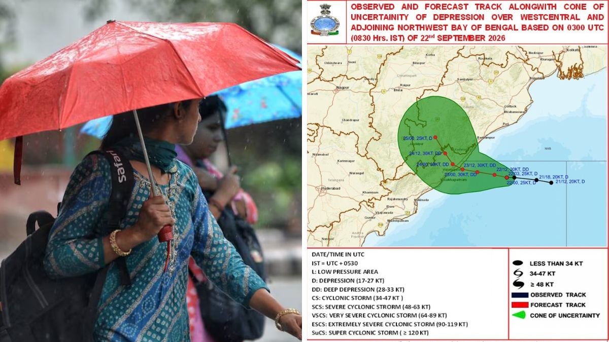 Cyclone Arnab: Six Odisha districts on alert as storm brings heavy rainfall till October 30
Heavy rains and strong winds lashed parts of Odisha as the very severe cyclonic storm Arnab moved towards the east coast, prompting the IMD to issue orange and yellow warnings across multiple districts Heavy rains and…
-
 10/26/26: Overcast with highs near 74, lows around 56, and light winds; no precipitation expected today or tonight.
Weather Today in Rutherford County: Overcast, high 74°F, low 41°F. Winds 4 mph. 7-day outlook inside. At 2:50 PM in Rutherford County, the temperature is 73.4°F with a light wind from the east at 2.7 mph. Conditions are…
-
 Burn ban covers 60 Mississippi counties as state awaits rainfall
More than half of Mississippi is under a burn ban as most of the state has gone without measurable rainfall since early October. According to the Mississippi Forestry Commission, outdoor burning is currently prohibited…
-
 10/26/26: Clear Morning with a High of 73, Low of 43; Overcast Tonight with a Low of 55; Calm Winds and No Precipitatio…
Weather Today in Rutherford County: Overcast, high 73°F, low 43°F. Winds 2 mph. 7-day outlook inside. Currently in Rutherford County at 5:45 AM, the temperature is 43.9°F with light winds blowing at 1.1 mph. There has…
-
 Hyderabad weather update: Will entire Telangana receive heavy rainfall as Andhra gets cyclonic storm alert?
Farmers have been warned by the IMD that light to moderate rain or thundershowers are very likely to occur at a few places in Telangana on Tuesday A depression over the Bay of Bengal is expected to intensify into a…
-
 10/25/26: Clear Skies This Morning, High of 74, Low of 43, Winds Up to 6, No Precipitation Expected
Weather Today in Rutherford County: Overcast, high 74°F, low 43°F. Winds 5 mph. 7-day outlook inside. Today, expect a high of 73.9°F with light winds increasing to a maximum of 5.6 mph. There is no chance of…
Air quality
Acceptable. Unusually sensitive people should consider limiting prolonged outdoor exertion.
Forecast
- TueModerate (51)
- WedModerate (52)
Chattanooga, TN reporting area · 2 hrs ago. Data from AirNow (EPA and its state, local and tribal partners); preliminary and subject to change.
Sun & moon
Almanac
MonthlyDayton 2se, records since 1956. Normals 1991–2020. Data from NOAA's Regional Climate Centers (ACIS).
Nearby
- Chattanooga 42 km
- East Chattanooga 37 km
- Cleveland 33 km
- East Ridge 43 km
- East Brainerd 43 km
- Athens 47 km
- Soddy-Daisy 18 km
- Middle Valley 22 km
- Red Bank 34 km
- Collegedale 37 km
- Fort Oglethorpe 50 km
- Signal Mountain 36 km
Forecasters' discussion
From the National Weather Service office in MRX, issued 2 hrs ago
Key Messages
Updated at 231 AM EDT Tue Oct 27 2026
- Dry weather will continue over the forecast period with cool mornings and mild afternoon highs.
- Low relative humidity values in the 30s to upper 20s are also expected most days but with light winds overall.
Discussion
Issued at 231 AM EDT Tue Oct 27 2026
Currently, upper ridging is in place aloft with broad surface high pressure across the eastern U.S. This will continue the same pattern we've had with mild daytime highs after a cool morning today. With slightly warmer temperatures, RH values are likely to drop further into the 30s and upper 20s during the afternoon. The pattern will remain similar on Wednesday with ridging and high pressure shifting further to the east. By Thursday, ridging will be flattened with a more zonal pattern aloft and surface high pressure remaining in place.
By Friday, a shortwave will eject out of the Rockies with downstream ridging increasing in our region again. With continued high pressure, similarly dry and mild conditions are expected during the day after a cool morning. For Halloween, the shortwave will approach from the west with surface high pressure strengthening to our east. This will lead to rain chances approaching from the west, but most of the area still looks dry for the night. Depending on evolution and the MSLP gradient, breezy conditions are possible in the mountains. Otherwise, the best chances for rain will be towards Sunday, but overall rain totals will be light.
Aviation
(06Z TAFS) Issued at 231 AM EDT Tue Oct 27 2026
High clouds are currently moving in from the west. Surface high pressure and upper level ridging will continue to dominate the pattern through the next 24 hours. Thus, light winds or calm conditions and dry weather can be expected. A brief period of fog is possible at both TRI and CHA later this morning before sunrise.
Preliminary Point Temps
Chattanooga Airport, TN 76 50 74 48 / 0 0 0 0 Knoxville McGhee Tyson Airport, TN 76 49 74 45 / 0 0 0 0 Oak Ridge, TN 75 49 73 45 / 0 0 0 0 Tri Cities Airport, TN 75 44 72 43 / 0 0 0 0
Forecasts, observations and alerts in the United States come from the National Weather Service (NOAA); radar from NOAA's Multi-Radar Multi-Sensor system; satellite imagery from NASA's Global Imagery Browse Services (GIBS) and NOAA's GOES satellites; the map from the U.S. Geological Survey's National Map; air quality from AirNow (EPA and its partners); hurricane information from the National Hurricane Center; climate normals and records from NOAA's Regional Climate Centers (ACIS). Forecasts outside the United States and the UV index: MET Norway (CC BY 4.0); observations outside the U.S.: airport reports via NOAA's Aviation Weather Center. Place names: GeoNames (CC BY 4.0). Data are copied on a schedule and may lag the sources; for warnings that affect your safety, follow your local National Weather Service office and emergency officials. Weather news is drawn from the 4Search index and reflects what the press published. Terms of use. How to use Weather