Install
Ripley, TN Weather
Current conditions
Forecast for this hour (no station report in the last two hours)
Forecast
10-day-
Saturday
Sunny. High near 79, with temperatures falling to around 76 in the afternoon. South southeast wind around 5 mph.
-
Saturday Night
Mostly clear, with a low around 49. Southeast wind 0 to 5 mph.
-
Sunday
Mostly sunny, with a high near 77. Southeast wind 0 to 5 mph.
National Weather Service forecast updated 1 day ago.
Hourly
Hourly forecast- Now70°
- 12 PM74°
- 1 PM76°
- 2 PM79°
- 3 PM79°
- 4 PM79°
- 5 PM76°
- 6 PM73°
- 7 PM69°
- 8 PM64°
- 9 PM60°
- 10 PM57°
- 11 PM55°
- Sun12 AM54°
- 1 AM53°
- 2 AM52°
- 3 AM52°
- 4 AM51°
- 5 AM50°
- 6 AM49°
- 7 AM49°
- 8 AM54°
- 9 AM60°
- 10 AM66°
Daily forecast
DetailsRadar
Full mapWeather news near Ripley
More weather news-
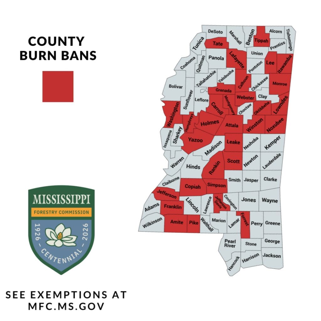 Tippah County Burn Ban Stays as Cold Front Brings Dry Wind
Under Mississippi law, county boards of supervisors normally request burn bans and the Forestry Commission approves them. Each ban expires at midnight on its stated end date, and the local sheriff’s department enforces…
-
 First Alert Weather: Here's when earlier sunsets are coming to Middle Tennessee
WSMV First Alert Weather: Here's when earlier sunsets are coming to Middle Tennessee Christa Pike: Execution team gave warning before attempted lethal injection Eyes in the Tennessee skies: Full Hunter's Moon CMA…
-
 Milder and Wetter? How a Super El Niño could shape Middle Tennessee's winter
WSMV Milder and Wetter? How a Super El Niño could shape Middle Tennessee's winter Eyes in the Tennessee skies: Full Hunter's Moon First Alert Weather: Here's when earlier sunsets are coming to Middle Tennessee First…
-
 Daylight saving time ends Nov. 1, changing sunrise and sunset times in East Tennessee
KNOXVILLE, Tenn. (WVLT) - Daylight saving time ends Nov. 1, changing the timing of sunrise and sunset across East Tennessee. Clocks fall back from 2 a.m. to 1 a.m. on Nov. 1, marking the end of daylight saving time and…
-
 Severe to Exceptional Drought Conditions Persist Across Tennessee
Radio7Media - WLX, WWLX, WDXE todayOctober 22, 2026 21 Drought conditions continue across much of Tennessee, with portions of West Tennessee experiencing exceptional drought, the most severe classification. The latest…
-
 Another fantastic fall day on tap for the Tennessee Valley
Local 3 News Good morning! ItâÂÂs another quiet morning with crisp temperatures in the 40s Highs will reach the 70s again, with plenty of sunshine A few areas near the Blue Ridge Mountains could sneak back into the…
-
 First Alert Forecast: Dry, warm afternoons continue across Middle Tennessee
NASHVILLE, Tenn. (WSMV) - More of the same as the seasonal, dry weather continues across the Midstate. For life-saving weather alerts, customized messages on conditions and forecasts, and videos detailing upcoming…
-
 2026 has been one of the driest years ever for Middle Tennessee
WSMV 2026 has been one of the driest years ever for Middle Tennessee First Alert Weather Plus PMC, JamJuice launch $5 per day parking for musicians in Nashville Driver, Franklin County deputy injured in crash while…
- First Alert Forecast: Chilly mornings, warm afternoons here to stay in Middle Tennessee
NASHVILLE, Tenn. (WSMV) -The comfortable fall weather continues this week in Middle Tennessee and southern Kentucky. It will be a touch warmer this afternoon, with highs in the upper 70s for the day. It will be mostly…
-
 Quiet Weather All Week Long, Leaves Beginning to Turn Over in West Tennessee
wbbjtv.com Quiet Weather All Week Long, Leaves Beginning to Turn Over in West Tennessee Secretary of State stops in West Tennessee with two weeks until Election Day Martin city leaders discuss regulations to get ahead…
Air quality
Air quality is satisfactory, and air pollution poses little or no risk.
Dyersburg, TN reporting area · 1 hr ago. Data from AirNow (EPA and its state, local and tribal partners); preliminary and subject to change.
Sun & moon
Nearby
- Dyersburg 35 km
- Blytheville 40 km
- Arlington 51 km
- Millington 56 km
- Brownsville 29 km
- Atoka 41 km
- Covington 23 km
- Humboldt 56 km
- Oakland 57 km
- Osceola 40 km
- Munford 42 km
- Caruthersville 51 km
Forecasts, observations and alerts in the United States come from the National Weather Service (NOAA); radar from NOAA's Multi-Radar Multi-Sensor system; satellite imagery from NASA's Global Imagery Browse Services (GIBS) and NOAA's GOES satellites; the map from the U.S. Geological Survey's National Map; air quality from AirNow (EPA and its partners); hurricane information from the National Hurricane Center; climate normals and records from NOAA's Regional Climate Centers (ACIS). Forecasts outside the United States and the UV index: MET Norway (CC BY 4.0); observations outside the U.S.: airport reports via NOAA's Aviation Weather Center. Place names: GeoNames (CC BY 4.0). Data are copied on a schedule and may lag the sources; for warnings that affect your safety, follow your local National Weather Service office and emergency officials. Weather news is drawn from the 4Search index and reflects what the press published. Terms of use.