Install
Parkston, SD Weather
Current conditions
Forecast for this hour (no station report in the last two hours)
Forecast
10-day-
Friday
A chance of showers and thunderstorms before 1pm. Mostly sunny, with a high near 74. Chance of precipitation is 30%.
-
Friday Night
A slight chance of rain showers after 1am. Mostly cloudy, with a low around 57.
-
Saturday
A chance of rain showers. Partly sunny, with a high near 65. Chance of precipitation is 50%.
National Weather Service forecast updated 3 days ago.
Hourly
Hourly forecast- Now72°
- 3 PM73°
- 4 PM74°
- 5 PM73°
- 6 PM72°
- 7 PM70°
- 8 PM68°
- 9 PM67°
- 10 PM66°
- 11 PM66°
- Sat12 AM65°
- 1 AM65°24%
- 2 AM64°24%
- 3 AM63°24%
- 4 AM62°24%
- 5 AM61°24%
- 6 AM60°24%
- 7 AM59°37%
- 8 AM59°37%
- 9 AM59°37%
- 10 AM60°37%
- 11 AM61°37%
- 12 PM61°37%
- 1 PM62°50%
10-day forecast
Details- TueOct 20Sunny49°70°
- WedOct 21Sunny50°73°
- ThuOct 22Sunny28%57°77°
- TodayOct 23Chance Showers And Thunderstorms28%57°74°
- SatOct 24Chance Rain Showers50%44°65°
- SunOct 25Chance Rain Showers31%40°60°
- MonOct 26Slight Chance Rain Showers17%38°58°
- TueOct 27Cloudy0.02 in33°48°
- WedOct 28Sunny36°54°
- ThuOct 29Mostly sunny35°46°
Days after the National Weather Service's seven are MET Norway's outlook, a computer model with no forecaster's review.
Radar
Full mapWeather news in South Dakota
More weather news-
 Western South Dakota warms toward 80 before weekend cooldown
KOTA Territory News Western South Dakota warms toward 80 before weekend cooldown Dry start, warmer days ahead before rain chances return to KOTA Territory Rapid City forecast: Breezy warmth, fire concerns before rain…
- South Dakota Winter Weather: Sioux Falls Snow Near Nov. 6?
Sioux Falls, SD – South Dakota residents wondering when the first measurable snowfall of the 2026 winter season might arrive have an early November date to watch. Sioux Falls typically records its first accumulating…
-
 Freeze Warning Issued for Parts of South Dakota and Minnesota
Forecasters say sub‑freezing temperatures could dip to around 30 degrees, bringing the first significant freeze of the season to the region. Areas in the warning in South Dakota include Codington, Deuel, Grant, and…
-
 South Dakota Declares October 28 Winter Weather Preparedness Day
Like it or not, it's coming. According to the calendar, winter doesn't officially arrive until December 21st, but we know better around here. To get ready for everything winter can throw at us, the National Weather…
-
 Minnesota's weather is about to pivot back to fall | Oct. 23, 2026
CBS News Minnesota is a local news organization that is part of CBS News and Stations. Also referred to as WCCO-TV and channel 4, CBS News Minnesota offers local breaking news, weather coverage and investigative…
-
 Minnesota weather turns cooler after a Saturday cold front brings light showers | Oct. 23, 2026
Rain chances improve Saturday afternoon and evening, with amounts under a tenth of an inch and gusts near 30 mph. Highs reach the 70s ahead of the front, then fall to the mid 50s Sunday, WCCO meteorologist Joseph Dames…
-
 BBC Audio | What in the World | Five ways El Niño is affecting weather around the world
El Niño has been strengthening for several months now and is already having a significant impact on global weather patterns. Countries including Indonesia, India and the United States have been experiencing droughts…
-
 Clouds build in over the weekend as temperatures stay above average in the 80s across North Texas
October 23, 2026 / 8:00 AM CDT / CBS Texas North Texans are waking up to temperatures mainly in the 50s and 60s on Friday morning, with some clouds across portions of the area. In the afternoon and into the weekend…
-
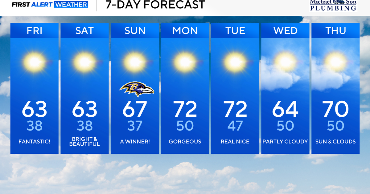 Maryland to enjoy nicest fall weekend weather of season yet
Updated on: October 23, 2026 / 8:46 AM EDT / CBS Baltimore A strong area of high pressure will protect our weather through the weekend and beyond. This type of weather pattern delivers us plenty of sunshine, seasonably…
-
 October's full Hunter's Moon to light up night sky this weekend
October's full Moon, nicknamed the Hunter's Moon, is set to light up the night sky this weekend. It will be visible in the UK from Sunday 25 October into the morning of Monday 26 October. Marking the 11th full Moon of…
Air quality
Air quality is satisfactory, and air pollution poses little or no risk.
Santee Sioux Reservation, NE reporting area · 2 hrs ago. Data from AirNow (EPA and its state, local and tribal partners); preliminary and subject to change.
Sun & moon
Almanac
MonthlyAlexandria, records since 1893. Normals 1991–2020. Data from NOAA's Regional Climate Centers (ACIS).
Nearby
- Mitchell 35 km
Forecasters' discussion
From the National Weather Service office in FSD, issued 1 hr ago
Key Messages
- HIGH FIRE DANGER TODAY: Strong wind gusts of 30 to 45 mph combined with warm temperatures will create high fire danger. Agricultural harvest activities will have the greatest risks into the evening.
- COOLER WITH SCATTERED WEEKEND RAIN: A slow-moving front will bring increased clouds and occasional rain this weekend. Temperatures will be notably cooler (40s/50s) by Sunday.
- SIGNIFICANT RAINFALL LIKELY MONDAY-TUESDAY: A large multi-day system will bring widespread rain to start the new work week. Confidence in amounts over 1" through Tuesday morning remain high.
- ACTIVE WEATHER CONTINUES: A second fast moving system may bring rain chances back by Tuesday Night and Wednesday, with temperatures near seasonal normals.
Discussion
Issued at 1218 PM CDT Fri Oct 23 2026
THIS AFTERNOON: Winds continue to increase early this afternoon with observed gusts between 30 and 45 mph. Temperatures continue to warm into the 70s, and potential for some highs in the 80s remain possible along and west of the James River valley. However, a persistent mid-upr cloud deck may limit the climb this afternoon. Out in western South Dakota, we're beginning to see the first signs of a frontal boundary forming that will gradually move eastward overnight. The fire danger remains very high this afternoon, especially for agricultural areas, please see separate discussion.
TONIGHT: An elongated upper trough stretching across the Rockies and into southern California will begin to stretch and split in two overnight. Northern energy tracking eastward across southern Canada will be strong enough to nudge the aforementioned surface boundary into the I-29 corridor by mid-mornign Saturday. Ahead of this boundary, convergence on a 40 knot LLJ and the arrival of a mid-lvl vorticity maxima should be enough to allow isolated to scattered showers to develop and and ahead of this boundary. MUCAPE may be as high as 300 J/KG after 3am, so have increased PotThunder to at least suggest isolated lightning strikes into mid-morning.
SATURDAY-SUNDAY: While northern stream energy moves eastward across Canada, a large upper trough will remain over the Four Corners region through the weekend. Overhead and closer to home, the aforementioned surface boundary will linger across the Tri-State area this weekend. This front, stacked on top by a low-lvl frontal zone, as well as somewhat persistent divergence from the right entrance region of an upper jet, will keep scattered rain chances and quite a bit of cloud cover through the area during the weekend. Now the degree of rain coverage is still up in the air, given somewhat diffuse and transient lift at times, but also some sub cloud dry air that could linger. So will continue to advertise a narrow stripe of low to mid-range PoPs that will fluctuate north and south with the movement of the low-lvl baroclinic zone.
Temperatures will be quite tricky on Saturday as the front bisecting the CWA could lead to a large temperature discrepancy from Huron to Storm Lake. 12Z guidance has trended downwards with highs slightly, so blended in short term guidance to account for trends the NBM may not have caught onto yet. There seems to be much more consistency in guidance that cooler air may sink further south behind the front for Sunday. With a persistent and cool northeast surface flow in the CWA, highs may struggle to break the 50s in portions of the CWA with the warmest highs near Highway 20.
MONDAY-TUESDAY: Slight discrepancies in medium range guidance on Thursday have resolved somewhat this morning. The large upper trough in the Four Corner begins to eject northeast late Sunday into Monday, and will begin to enhanced warm advection northward and increase the intensity of the low-lvl frontal zone through the CWA by Monday morning. We'll have to watch for any potential instability arrival, but fairly widespread moderate rain may begin to form Monday morning and gradually retreat northward as the upper trough enters the Plains.
Aviation
Issued at 1155 AM CDT Fri Oct 23 2026
VFR conditions with strong gusty southeast winds will continue through the afternoon and evening hours. Eventually, we'll see a lower cloud deck near 10K ft AGL begin to develop after midnight. Scattered showers and isolated thunderstorms may develop into mid-morning Saturday, but in most cases VFR conditions can be expected.
A frontal boundary slides from west to east Saturday morning, reaching I-29 by mid-late morning and turning winds more to the west northwest.
Fire Weather
Issued at 1220 PM CDT FRI Oct 23 2026
Strong southeast wind gusts between 30 and 45 mph will continue this afternoon. Temperatures are a bit slower to rise today in response to cloud cover overhead. However highs still well into the 70s will be likely, with RH values dropping between 35 and 45% by peak heating this afternoon. Very high GFDI conditions will continue into early evening. While grassland moisture levels and RH remain high enough to prevent widespread red flag warnings this afternoon, AG related fire danger will be near critical into early evening. Harvest activities may want to postpone until winds subside and local partners need to remain vigilant into the evening.
A front moves from west to east early Saturday turning winds west northwesterly and bringing increased rain chances through the weekend. A widespread wetting rain is likely early in the work week.
Forecasts, observations and alerts in the United States come from the National Weather Service (NOAA); radar from NOAA's Multi-Radar Multi-Sensor system; satellite imagery from NASA's Global Imagery Browse Services (GIBS) and NOAA's GOES satellites; the map from the U.S. Geological Survey's National Map; air quality from AirNow (EPA and its partners); hurricane information from the National Hurricane Center; climate normals and records from NOAA's Regional Climate Centers (ACIS). Forecasts outside the United States and the UV index: MET Norway (CC BY 4.0); observations outside the U.S.: airport reports via NOAA's Aviation Weather Center. Place names: GeoNames (CC BY 4.0). Data are copied on a schedule and may lag the sources; for warnings that affect your safety, follow your local National Weather Service office and emergency officials. Weather news is drawn from the 4Search index and reflects what the press published. Terms of use.