Install
Miller, SD Weather
Current conditions
Observed at Redfield Municipal Airport · 1 hr ago
Forecast
10-day-
Wednesday
Mostly sunny, with a high near 72. North northeast wind 2 to 10 mph.
-
Wednesday Night
Mostly clear, with a low around 47. East southeast wind around 7 mph.
-
Thursday
Sunny, with a high near 76. South southeast wind 7 to 18 mph, with gusts as high as 28 mph.
National Weather Service forecast updated 22 hrs ago.
Hourly
Hourly forecast- Now46°
- 7 AM45°
- 8 AM45°
- 9 AM47°
- 10 AM51°
- 11 AM56°
- 12 PM61°
- 1 PM64°
- 2 PM68°
- 3 PM70°
- 4 PM72°
- 5 PM72°
- 6 PM70°
- 7 PM65°
- 8 PM61°
- 9 PM58°
- 10 PM54°
- 11 PM54°
- Thu12 AM53°
- 1 AM52°
- 2 AM51°
- 3 AM50°
- 4 AM49°
- 5 AM49°
Daily forecast
Details- TueOct 20Sunny45°73°
- TodayOct 21Mostly Sunny47°72°
- ThuOct 22Sunny17%57°76°
- FriOct 23Slight Chance T-storms23%53°76°
- SatOct 24Slight Chance Light Rain18%41°60°
- SunOct 25Slight Chance Light Rain15%35°57°
- MonOct 26Slight Chance Light Rain16%34°55°
- TueOct 27Mostly sunny30°48°
- WedOct 28Partly cloudy40°61°
Days after the National Weather Service's seven are MET Norway's outlook, a computer model with no forecaster's review.
Radar
Full mapWeather news near Miller
More weather news-
 Clear & cold conditions, plus Freeze Warning tonight (10/17/26)
WPXI Etna Community Organization celebrates the completion, opening of the Etna Center for Community Hazelwood workshop marks launch of new welding pre-apprenticeship program with labor secretary visit Channel 11âs…
-
 Clear & cold conditions, plus Freeze Warning tonight
(10/17/26) WPXI Manâs body pulled from Ohio River at Emsworth Locks and Dams Local Week In Review (10/17/26) Spirit Halloween hosts party for patients, families at UPMC Childrenâs Hospital Miller Steering Committee…
- New Orleans Weather Wind Advisory Saturday Warm Week Ahead
A Wind Advisory remains in effect for New Orleans and surrounding areas until 3 p.m. Saturday. The National Weather Service expects northeast winds of 15 to 20 mph, with frequent stronger gusts that could make driving…
-
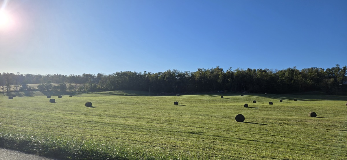 Shenandoah Valley Weather: Sunny days and clear nights this week
Freeze Warning until 9 a.m. this morning Here’s the WSVA local forecast for Harrisonburg and the Shenandoah ValleyToday: Widespread frost, mainly before 9am. Otherwise, sunny, with a high near 56. North wind 5 to 7 mph…
-
 Early snow on the San Francisco peaks brings hope for a strong winter
FLAGSTAFF, AZ (AZFamily) — The San Francisco Peaks have a light dusting of snow, and Arizona Snowbowl turned on its snowmakers for the first time this season this week. Snow is holding on the west side of the mountain…
-
 Your News Now Friday Morning Forecast: October 16, 2026
WLIO Cloudy, cold, and a bit drizzly to start off our Friday and that isn’t going to change any time soon as we expect even more rain into the evening. Temperatures will stay on the cooler side through the weekend with…
-
 DOG WALKING FURCAST: Much drier for Thursday trots
Who wants to go for a walk!? This cutie is a one-year-old Corgi, and his dog mom, Michelle Miller, told News 5 that he is their much-loved and spoiled family dog. How could you not spoil this cutie pie?! He is also…
-
 Maryland State Highway planning snow plow trains for interstates
This winter, drivers on Washington County's interstates could see plow trains during snowstorms. In attempt to make the most of Maryland State Highway Administration's resources, including drivers and equipment, plow…
- Your News Now Wednesday Morning Forecast: October 14, 2026
Starting off our Wednesday on a sunny note, but that won’t be the case forever as clouds will start rolling into our area through the afternoon. We should manage to stay dry today but storms could hit West Central Ohio…
-
 Western South Dakota warms toward 80 before weekend cooldown
KOTA Territory News Western South Dakota warms toward 80 before weekend cooldown Dry start, warmer days ahead before rain chances return to KOTA Territory Rapid City forecast: Breezy warmth, fire concerns before rain…
Sun & moon
Nearby
- Redfield 54 km
Forecasters' discussion
From the National Weather Service office in ABR, issued 4 hrs ago
Key Messages
- Temperatures continue to be about 10 to 15 degrees above normal today, with highs in the upper 60s to low 70s. By the end of the week temperatures are forecast to be 20 to 25 degrees above normal, ranging in the 70s to potentially the lower 80s.
- Rain chances return Friday with a 30-50% of showers and a storm or two Friday and Saturday. The percent chance of rainfall amounts of 0.10 inch or more is 40-60% over eastern SD and a 20-40% chance for 0.25 inch of rainfall.
- Warm and breezy conditions will lead to elevated fire weather concerns across central South Dakota Thursday with more widespread concerns Friday.
Discussion
Issued at 120 AM CDT Wed Oct 21 2026
A weak cold front has been moving through central and northeastern SD and west central MN this morning. This cold front will not be cooling temperatures too much today, as highs in the upper 60s to low 70s will still be 10-15 degrees warmer than normal. This front will cause the winds to turn and be from the northeast to easterly during the day and then turn overnight to be from the south. The southerly winds will be bringing in warmer temperatures Thursday and Friday, with highs in the upper 70s to low 80s. These temperatures will be about 20-25 degrees warmer than normal for this time of the year, and some areas will get close to and potentially break record warm temperatures.
While high pressure develops over the Great Lakes to the east, a surface low pressure will develop over NV and move to the north northeast over western MN and then into Manitoba Canada Thursday into Saturday. With these two strong pressure centers on opposite sides of SD, the pressure gradient over the state will tighten. This will cause winds to strengthen Thursday through Friday night over the state, starting in central SD Thursday afternoon and spreading east overnight into Friday. While Thursday's winds will be strong, with gust up to 35 mph possible. Friday will have the strongest winds. There is a 30-60% chance for winds to be sustained at or greater than 30 mph and 20-50% chance for gusts to be at or greater than 45 mph Friday through Saturday morning, mainly over the Coteau and areas west of the Missouri River. These strong winds will be increasing the fire weather concerns Thursday and Friday, as ground fuels are starting to cure and dry out in this fall weather. The grassland fire danger index values are forecast in the high category over portions of central SD Thursday and over central and northeastern SD Friday. The one thing stopping the fire danger from being greater is higher relative humidity values. Humidity values will be between 35-50% on Thursday and 35-55% on Friday, which will help to keep fires from starting. However if a fire were to start, it could become difficult to control or suppress.
While the low pressure system will not be moving over SD, the fronts attached to it will be. A warm front will be moving over SD Thursday and sticking around into Friday, which is what is causing the warmer temperatures to move in SD during those days. The models are forecasting the warm front to start moving again on Friday, which will interact with moisture aloft to cause scattered showers and potentially even a storm or two. The models however vary where the warm front will be when rain starts to develop, and some of the models even have the rain missing the state. The next chance for rain showers from this system will be when a cold front moves through central and northeastern SD Friday night through Saturday. The models vary how long the cold front sticks around over eastern SD on Saturday, which then varies how much rainfall will occur. There is a 40-60% chance for 0.10 inch or more of rain over portions of eastern SD and west central MN from the Friday and Saturday rain, and a 20-40% chance for 0.25 inch over the same area. There is still lower confidence in the timing, track, and rainfall amounts due to the variability in the frontal boundaries in models. This will need to be watched in upcoming model runs to see if they start to show similar conditions. The one thing the models do agree on, is that there will be cold air moving in behind the cold front Saturday, which will cause temperatures during the weekend to be around normal for this time of the year.
Aviation
Issued at 1230 AM CDT Wed Oct 21 2026
Terminals KABR,KATY,KPIR,KMBG
VFR conditions are forecast through the TAF period. Surface winds will eventually switch to the north or northeast as a frontal boundary passes through the region.
Abr Watches
SD...None. MN...None.
Forecasts, observations and alerts in the United States come from the National Weather Service (NOAA); radar from NOAA's Multi-Radar Multi-Sensor system; satellite imagery from NASA's Global Imagery Browse Services (GIBS) and NOAA's GOES satellites; the map from the U.S. Geological Survey's National Map; air quality from AirNow (EPA and its partners); hurricane information from the National Hurricane Center; climate normals and records from NOAA's Regional Climate Centers (ACIS). Forecasts outside the United States and the UV index: MET Norway (CC BY 4.0); observations outside the U.S.: airport reports via NOAA's Aviation Weather Center. Place names: GeoNames (CC BY 4.0). Data are copied on a schedule and may lag the sources; for warnings that affect your safety, follow your local National Weather Service office and emergency officials. Weather news is drawn from the 4Search index and reflects what the press published. Terms of use.