Install
Hayti, SD Weather
Current conditions
Forecast for this hour (no station report in the last two hours)
Forecast
10-day-
Friday
A chance of rain between 7am and 1pm. Partly sunny, with a high near 72. South southeast wind 17 to 26 mph, with gusts as high as 38 mph. Chance of precipitation is 30%.
-
Friday Night
Mostly cloudy, with a low around 56. South wind 21 to 25 mph, with gusts as high as 39 mph.
-
Saturday
A chance of rain after 7am. Partly sunny, with a high near 65. Chance of precipitation is 40%.
National Weather Service forecast updated 3 days ago.
Hourly
Hourly forecast- Now55°28%
- 8 AM57°28%
- 9 AM59°28%
- 10 AM60°28%
- 11 AM63°28%
- 12 PM66°28%
- 1 PM68°
- 2 PM69°
- 3 PM71°
- 4 PM72°
- 5 PM71°
- 6 PM70°
- 7 PM67°
- 8 PM66°
- 9 PM65°
- 10 PM64°
- 11 PM63°
- Sat12 AM63°
- 1 AM62°12%
- 2 AM61°12%
- 3 AM60°12%
- 4 AM59°12%
- 5 AM58°12%
- 6 AM58°12%
10-day forecast
Details- TonightOct 19Clear43°
- TueOct 20Sunny46°70°
- WedOct 21Sunny48°72°
- ThuOct 22Sunny12%55°74°
- TodayOct 23Chance Light Rain28%56°72°
- SatOct 24Chance Light Rain41%44°65°
- SunOct 25Slight Chance Light Rain21%37°57°
- MonOct 26Slight Chance Light Rain16%54°
- TueOct 27Partly cloudy35°44°
- WedOct 28Cloudy38°56°
Days after the National Weather Service's seven are MET Norway's outlook, a computer model with no forecaster's review.
Radar
Full mapWeather news near Hayti
More weather news-
 Freeze Warning Issued for Parts of South Dakota and Minnesota
Forecasters say sub‑freezing temperatures could dip to around 30 degrees, bringing the first significant freeze of the season to the region. Areas in the warning in South Dakota include Codington, Deuel, Grant, and…
-
 Western South Dakota warms toward 80 before weekend cooldown
KOTA Territory News Western South Dakota warms toward 80 before weekend cooldown Dry start, warmer days ahead before rain chances return to KOTA Territory Rapid City forecast: Breezy warmth, fire concerns before rain…
- South Dakota Winter Weather: Sioux Falls Snow Near Nov. 6?
Sioux Falls, SD – South Dakota residents wondering when the first measurable snowfall of the 2026 winter season might arrive have an early November date to watch. Sioux Falls typically records its first accumulating…
-
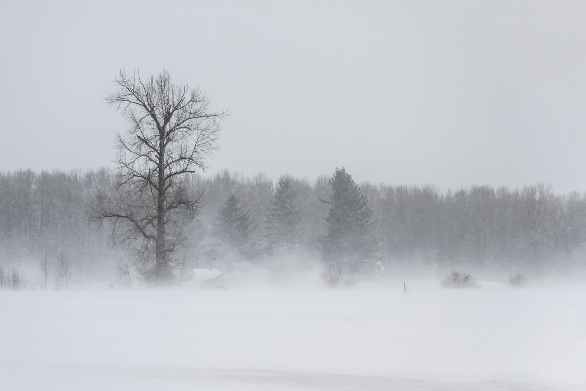 South Dakota Declares October 28 Winter Weather Preparedness Day
Like it or not, it's coming. According to the calendar, winter doesn't officially arrive until December 21st, but we know better around here. To get ready for everything winter can throw at us, the National Weather…
Air quality
Acceptable. Unusually sensitive people should consider limiting prolonged outdoor exertion.
Watertown, SD reporting area · 1 hr ago. Data from AirNow (EPA and its state, local and tribal partners); preliminary and subject to change.
Sun & moon
Almanac
MonthlyWatertown Regional Ap, records since 1893. Normals 1991–2020. Data from NOAA's Regional Climate Centers (ACIS).
Nearby
Forecasts, observations and alerts in the United States come from the National Weather Service (NOAA); radar from NOAA's Multi-Radar Multi-Sensor system; satellite imagery from NASA's Global Imagery Browse Services (GIBS) and NOAA's GOES satellites; the map from the U.S. Geological Survey's National Map; air quality from AirNow (EPA and its partners); hurricane information from the National Hurricane Center; climate normals and records from NOAA's Regional Climate Centers (ACIS). Forecasts outside the United States and the UV index: MET Norway (CC BY 4.0); observations outside the U.S.: airport reports via NOAA's Aviation Weather Center. Place names: GeoNames (CC BY 4.0). Data are copied on a schedule and may lag the sources; for warnings that affect your safety, follow your local National Weather Service office and emergency officials. Weather news is drawn from the 4Search index and reflects what the press published. Terms of use.