Install
Lake City, SC Weather
Current conditions
Observed at Kingstree Williamsburg Regional Airport · 1 hr ago
Forecast
10-day-
Tonight
Mostly clear, with a low around 46. Northeast wind 3 to 8 mph, with gusts as high as 16 mph.
-
Monday
Sunny, with a high near 73. Northeast wind 5 to 8 mph, with gusts as high as 17 mph.
-
Monday Night
Clear, with a low around 39. Northeast wind around 3 mph.
National Weather Service forecast updated 12 hrs ago.
Hourly
Hourly forecast- Now70°
- 7 PM66°
- 8 PM62°
- 9 PM60°
- 10 PM57°
- 11 PM55°
- Mon12 AM53°
- 1 AM52°
- 2 AM50°
- 3 AM49°
- 4 AM47°
- 5 AM47°
- 6 AM46°
- 7 AM46°
- 8 AM46°
- 9 AM50°
- 10 AM58°
- 11 AM64°
- 12 PM68°
- 1 PM70°
- 2 PM72°
- 3 PM72°
- 4 PM72°
- 5 PM72°
10-day forecast
Details- TodayOct 25Sunny46°74°
- MonOct 26Sunny39°73°
- TueOct 27Sunny46°76°
- WedOct 28Mostly Sunny53°76°
- ThuOct 29Partly Sunny then Slight Chance Rain Showers15%51°77°
- FriOct 30Sunny53°80°
- SatOct 31Mostly Sunny55°80°
- SunNov 1Heavy rain0.59 in63°80°
- MonNov 2Cloudy66°79°
- TueNov 3Cloudy59°67°
Days after the National Weather Service's seven are MET Norway's outlook, a computer model with no forecaster's review.
Radar
Full mapWeather news near Lake City
More weather news- Salt Lake City Sees Partly Cloudy Saturday Before Rain Returns
A 10 a.m. reading showed a temperature of about 48 degrees and sunny conditions at that hour, while the city-area forecast calls for partly cloudy skies and a high in the upper 50s. Northwest winds will stay light…
-
 Comeback Season
| The Wall Street Journal - newspaper Magzter SKY HIGH The Roundhouse, a restaurant at Idaho's Sun Valley Resort, sits at around 7,700 feet.LAST WINTER was one that many skiers would rather forget Unseasonably warm…
-
 US winter is likely to be wetter and warmer, forecasters say. If you want more snow, look south
El Niño is likely to shift weather patterns to bring more moisture, but with it higher temperatures. That should help erase persistent Western drought, but it won’t likely make Northern snow-lovers happy, the National…
-
 Parts of Utah emerge from moderate drought for first time in 7 months
SALT LAKE CITY — Storms that moved through Utah this week resulted in serious flooding in southern Utah, even leading to a disaster emergency in Hurricane. However, the wet weather has also pulled some parts of Utah out…
-
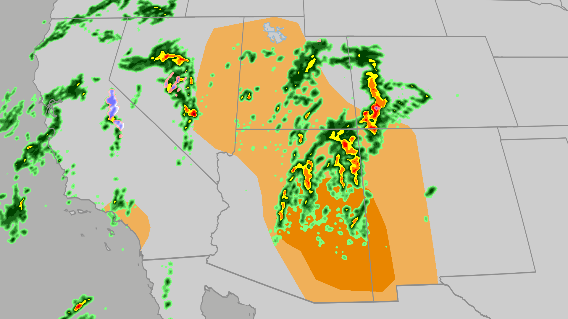 Severe weather, flood risk across Four Corners, California
The Weather Channel Tornadoes, flooding, large hail possible in Four Corners, California Parts of the Four Corners and Southern California face an elevated risk of severe weather on Thursday, which includes the…
- Salt Lake City Sizzles, Then Soaks: One Last Warm Day Before Storms Slam Wasatch
Salt Lake City is starting Wednesday clear and mild, but the calm setup has an expiration date. The city could reach 71 this afternoon, with showers possible. Then the late-week forecast takes a distinctly wetter…
-
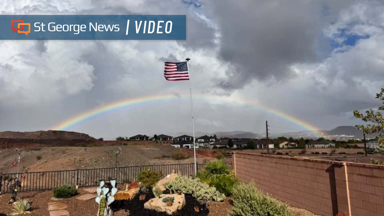 Photo Gallery: Fast-moving storms flood Southern Utah with heavy rain – and rainbows; more on the way
Fast-moving storms tracking north by northeast dropped hail and heavy rain across Southern Utah. The weather event also produced monstrous cloud formations and expansive rainbows. Monica Traphagan, senior meteorologist…
-
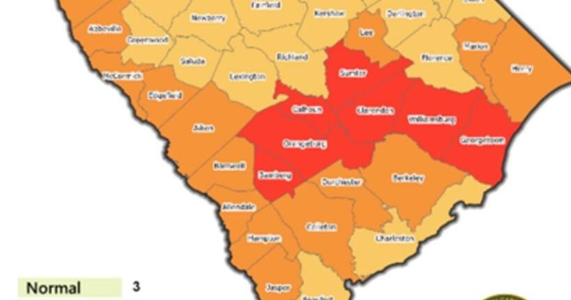 5 Things: Drought eases across Pee Dee after rain, cool temperatures
Rainfall and cooler weather have brought the Pee Dee its most significant drought relief in months, moving Florence and Marion counties into less severe categories while leaving residents with reason to remain cautious…
-
 U.S. winter is likely to be wetter and warmer, forecasters say
El Niño is likely to shift weather patterns to bring more moisture, but with it higher temperatures. That should help erase persistent Western drought, but it won’t likely make Northern snow-lovers happy, the National…
-
 Late-week storm could bring 3 to 6 inches of mountain snow
by Jill Margetts, KUTV SALT LAKE CITY (KUTV) — A few showers will continue to move through parts of southern and central Utah Monday. Some thunderstorms could develop in southeastern Utah by Monday afternoon. A few…
Air quality
Air quality is satisfactory, and air pollution poses little or no risk.
Florence and Darlington, SC reporting area · 1 hr ago. Data from AirNow (EPA and its state, local and tribal partners); preliminary and subject to change.
Sun & moon
Nearby
- Sumter 54 km
- Florence 36 km
- Red Hill 48 km
- Marion 47 km
- Darlington 49 km
- Mullins 59 km
- Manning 46 km
- Bishopville 60 km
- Kingstree 24 km
- Lakewood 55 km
- Andrews 50 km
- South Sumter 54 km
Forecasters' discussion
From the National Weather Service office in ILM, issued 4 hrs ago
What Has Changed
Updated for 18Z aviation forecast. Key messages remain largely the same for now.
Key Messages
1) Minor coastal flooding and hazardous marine/surf conditions are expected at least into mid week.
2) High pressure will prevail through the week bringing generally dry weather and coastal breezes.
Discussion
KEY MESSAGE 1...Minor coastal flooding and hazardous marine/surf conditions are expected at least into mid week.
An extended period of enhanced northeast winds due to strong high pressure to the north and low pressure well to the southeast will continue to bring hazardous marine/surf conditions across the NE SC and SE NC coasts and nearby Atlantic waters. High astronomical tides and onshore winds will lead to minor coastal flooding.
Coastal Flooding: Minor coastal flooding is likely during each high tide cycle through at least Tue AM, with the highest tides in the morning.
High Surf: High seas up near 10 ft within 20 nm will likely lead to 6 ft surf heights early this week, especially along the beaches of New Hanover County. In addition, the large waves coupled with high water levels could result in some erosion, especially for E-facing beaches.
KEY MESSAGE 2...High pressure will prevail through the week bringing generally dry weather and coastal breezes.
Persistent high pressure centered to the north will dominate the weather pattern leading to mainly dry conditions and coastal breezes. Generally near to below normal temperatures will likely become above normal mid to late week, especially daytime highs.
Aviation
High confidence in VFR conditions as high pressure prevails. NNE/NE winds will prevail, gusting to near 20-25 kt at times during daylight hours.
Extended outlook: VFR to prevail with gusty NE winds expected at times, especially near the coast. There is a low risk for CIG restrictions, mainly during late night/early morning periods.
Forecasts, observations and alerts in the United States come from the National Weather Service (NOAA); radar from NOAA's Multi-Radar Multi-Sensor system; satellite imagery from NASA's Global Imagery Browse Services (GIBS) and NOAA's GOES satellites; the map from the U.S. Geological Survey's National Map; air quality from AirNow (EPA and its partners); hurricane information from the National Hurricane Center; climate normals and records from NOAA's Regional Climate Centers (ACIS). Forecasts outside the United States and the UV index: MET Norway (CC BY 4.0); observations outside the U.S.: airport reports via NOAA's Aviation Weather Center. Place names: GeoNames (CC BY 4.0). Data are copied on a schedule and may lag the sources; for warnings that affect your safety, follow your local National Weather Service office and emergency officials. Weather news is drawn from the 4Search index and reflects what the press published. Terms of use. How to use Weather