Install
South Park Township, PA Weather
Current conditions
Observed at Pittsburgh - Allegheny County Airport · 49 min ago
Forecast
10-day-
Monday
Sunny, with a high near 68.
-
Monday Night
Mostly clear, with a low around 42.
-
Tuesday
Mostly sunny, with a high near 65.
National Weather Service forecast updated 3 days ago.
Hourly
Hourly forecast- Now66°
- 3 PM68°
- 4 PM68°
- 5 PM67°
- 6 PM64°
- 7 PM59°
- 8 PM58°
- 9 PM55°
- 10 PM52°
- 11 PM50°
- Tue12 AM49°
- 1 AM48°
- 2 AM47°
- 3 AM46°
- 4 AM45°
- 5 AM44°
- 6 AM43°
- 7 AM42°
- 8 AM42°
- 9 AM46°
- 10 AM50°
- 11 AM55°
- 12 PM58°
- 1 PM61°
10-day forecast
Details- FriOct 23Sunny36°63°
- SatOct 24Sunny34°65°
- SunOct 25Patchy Frost then Sunny36°66°
- TodayOct 26Sunny42°68°
- TueOct 27Mostly Sunny42°65°
- WedOct 28Partly Sunny42°66°
- ThuOct 29Mostly Sunny45°69°
- FriOct 30Partly cloudy44°58°
- SatOct 31Sunny36°50°
- SunNov 1Cloudy35°60°
Days after the National Weather Service's seven are MET Norway's outlook, a computer model with no forecaster's review.
Radar
Full mapWeather news near South Park Township
More weather news-
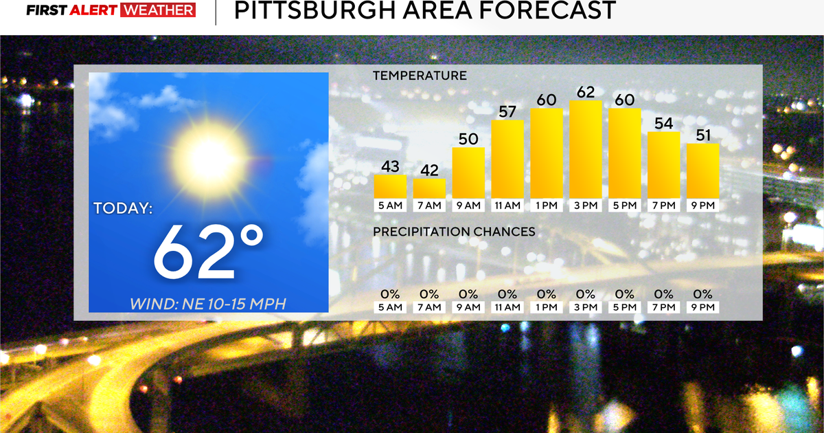 Rain chances for the Pittsburgh area remain several days away
October 23, 2026 / 7:41 AM EDT / CBS Pittsburgh Rain chances won't be in the forecast in the Pittsburgh region for at least several more days. Any alert days ahead? Nope. Frost advisory in place this morning Aware…
-
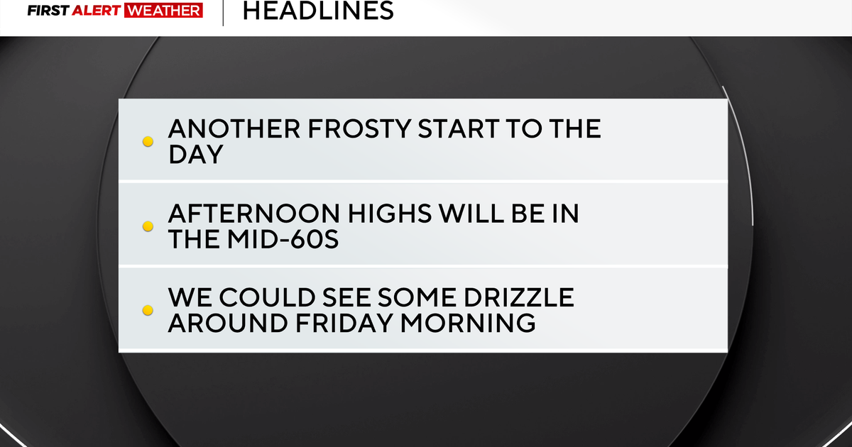 Frosty mornings turn into sunny and comfortable afternoons in the Pittsburgh region
October 22, 2026 / 6:47 AM EDT / CBS Pittsburgh The stretch of cool mornings giving way to pleasant afternoons will continue for at least the next week and beyond. This is the time of year when morning traffic accidents…
- Pittsburgh Weather Forecast: Frost Advisory And Chilly Nights
Pittsburgh faces a chilly stretch, with overnight cold bringing a distinctly October feel. The National Weather Service’s latest Pittsburgh forecast also lists a Frost Advisory for early Thursday. An observation…
-
 Mostly sunny skies with a few passing clouds to end the week (10/22/26)
WPXI ALCOSAN breaks ground on 4.9-mile Ohio River Tunnel project in Pittsburgh U.S. Steel board approves nearly $3B for new hot strip mill at Edgar Thomson Plant in Braddock Adoptive mother sentenced to decades in…
-
 Crisp morning with patchy frost gives way to a bright Thursday across the West Hills
As we head into tonight, skies will remain mostly clear with temperatures dipping back down to a cooler low around 41 degrees under light northerly winds. Looking ahead to the end of the week, tranquil and pleasant…
-
 Pittsburgh's stretch of sunny and seasonable fall weather lasts through the weekend
October 21, 2026 / 6:46 AM EDT / CBS Pittsburgh The calm weather pattern is set to continue through the weekend and beyond, with the biggest forecast challenge being how aggressive to go with high temperatures, with…
- Follow the Flush
3300 Preble Avenue Pittsburgh, PA 15233 System is in dry weather operation; No advisories are in effect In: 10/14/2026 - 09:09 AM Out: 10/14/2026 - 09:32 AM Dry: 10/16/2026 - 09:32 AM
-
 How Much Rain Can a Hurricane Make, and Does the Storm Size Matter?
How much rain can a hurricane make, and how much do big versus small hurricanes make? – Naarah, age 8, Pittsburgh Hurricanes can produce enormous amounts of rain, adding up to trillions of gallons of water. But the big…
- Crisp autumn morning breaks across the West Hills with clear skies ahead
Looking beyond tonight’s dip to 35 degrees, our stretch of quiet, dry autumn weather holds firm across western Allegheny County. High pressure will keep our skies clear and conditions pleasant as we round out the middle…
-
 Old Farmer’s Almanac Forecasts Rain, Snow Showers for Northeast on Thanksgiving
With autumnal foliage colors and cooler temperatures settling in across the Philadelphia region, it’s time to start our attentions to the upcoming holiday and winter season. Take a look at… The Almanac's Thanksgiving…
Air quality
Acceptable. Unusually sensitive people should consider limiting prolonged outdoor exertion.
Forecast
- MonModerate (70)
- TueModerate
Mon Valley Area, PA reporting area · 1 hr ago. Data from AirNow (EPA and its state, local and tribal partners); preliminary and subject to change.
Sun & moon
Almanac
MonthlyPittsburgh Area, records since 1875. Normals 1991–2020. Data from NOAA's Regional Climate Centers (ACIS).
Nearby
- Pittsburgh 16 km
- Mount Lebanon 8 km
- Bethel Park 5 km
- Monroeville 22 km
- Cranberry Township 44 km
- Plum 31 km
- Allison Park 29 km
- Murrysville 29 km
- West Mifflin 13 km
- Baldwin 5 km
- McKeesport 12 km
- Weirton Heights 48 km
Forecasters' discussion
From the National Weather Service office in PBZ, issued 7 hrs ago
What Has Changed
Update to Key Messages and Aviation Discussion.
Key Messages
1) Dry, quiet, and above-average temperatures continue through Sunday
Discussion
KEY MESSAGE 1... Confidence remains high that measurable precipitation will remain limited through Sunday as a ridge of high pressure dominates the Ohio River Valley. Persistent southwest flow aloft will support temperatures around 10 degrees above average throughout the week. The potential for frost for freeze conditions remain very low across the remaining counties where the growing season is still ongoing. However, with the November 1st cutoff approaching, the likelihood of issuing additional frost/freeze product is considered very low (less than 10%).
A cold front is expected to move across the region late tonight into early Tuesday morning. Fog may develop along or in the vicinity of the frontal boundary, primarily south of Pittsburgh near I-70 corridor.
Long-range models suggest a potential disturbance developing over the southern Great Plains this weekend and track east or northeast. However, significant run-to-run variability in the projected track continues to contribute to considerable uncertainty in rainfall amounts across the region.
Aviation
VFR favored through the TAF period with varying coverages of passing cirrus.
Light southwest to westerly afternoon winds will veer N to NE with a weak, dry frontal passage aft 00z. Hi-res modeling suggests a low probability for moisture convergence along the stalled boundary to result in fog and/or low stratus near the I-70 corridor between 10z-13z Tuesday but an increase in cirrus precluded stronger TAF mention.
Outlook... Outside of patchy morning river valley fog, high pressure will maintain high confidence in VFR conditions through at least Thursday (low probabilities for cigs return Friday with another stalled boundary) and more likely continues until an upper trough/surface cold front passage sometime after Sunday.
Forecasts, observations and alerts in the United States come from the National Weather Service (NOAA); radar from NOAA's Multi-Radar Multi-Sensor system; satellite imagery from NASA's Global Imagery Browse Services (GIBS) and NOAA's GOES satellites; the map from the U.S. Geological Survey's National Map; air quality from AirNow (EPA and its partners); hurricane information from the National Hurricane Center; climate normals and records from NOAA's Regional Climate Centers (ACIS). Forecasts outside the United States and the UV index: MET Norway (CC BY 4.0); observations outside the U.S.: airport reports via NOAA's Aviation Weather Center. Place names: GeoNames (CC BY 4.0). Data are copied on a schedule and may lag the sources; for warnings that affect your safety, follow your local National Weather Service office and emergency officials. Weather news is drawn from the 4Search index and reflects what the press published. Terms of use. How to use Weather