Install
Shanor-Northvue, PA Weather
Current conditions
Observed at Pittsburgh/Butler Regional Airport · 26 min ago
Forecast
10-day-
Monday
Sunny, with a high near 68.
-
Monday Night
Partly cloudy, with a low around 41.
-
Tuesday
Partly sunny, with a high near 65.
National Weather Service forecast updated 2 days ago.
Hourly
Hourly forecast- Now50°
- 11 AM56°
- 12 PM60°
- 1 PM64°
- 2 PM66°
- 3 PM68°
- 4 PM68°
- 5 PM66°
- 6 PM63°
- 7 PM58°
- 8 PM57°
- 9 PM54°
- 10 PM51°
- 11 PM48°
- Tue12 AM47°
- 1 AM46°
- 2 AM45°
- 3 AM44°
- 4 AM43°
- 5 AM43°
- 6 AM42°
- 7 AM41°
- 8 AM42°
- 9 AM45°
10-day forecast
Details- FriOct 23Sunny35°62°
- SatOct 24Sunny34°64°
- SunOct 25Sunny37°65°
- TodayOct 26Sunny41°68°
- TueOct 27Partly Sunny41°65°
- WedOct 28Partly Sunny44°67°
- ThuOct 29Mostly Sunny44°70°
- FriOct 30Cloudy41°56°
- SatOct 31Cloudy36°49°
- SunNov 1Partly cloudy35°58°
Days after the National Weather Service's seven are MET Norway's outlook, a computer model with no forecaster's review.
Radar
Full mapWeather news in Pennsylvania
More weather news-
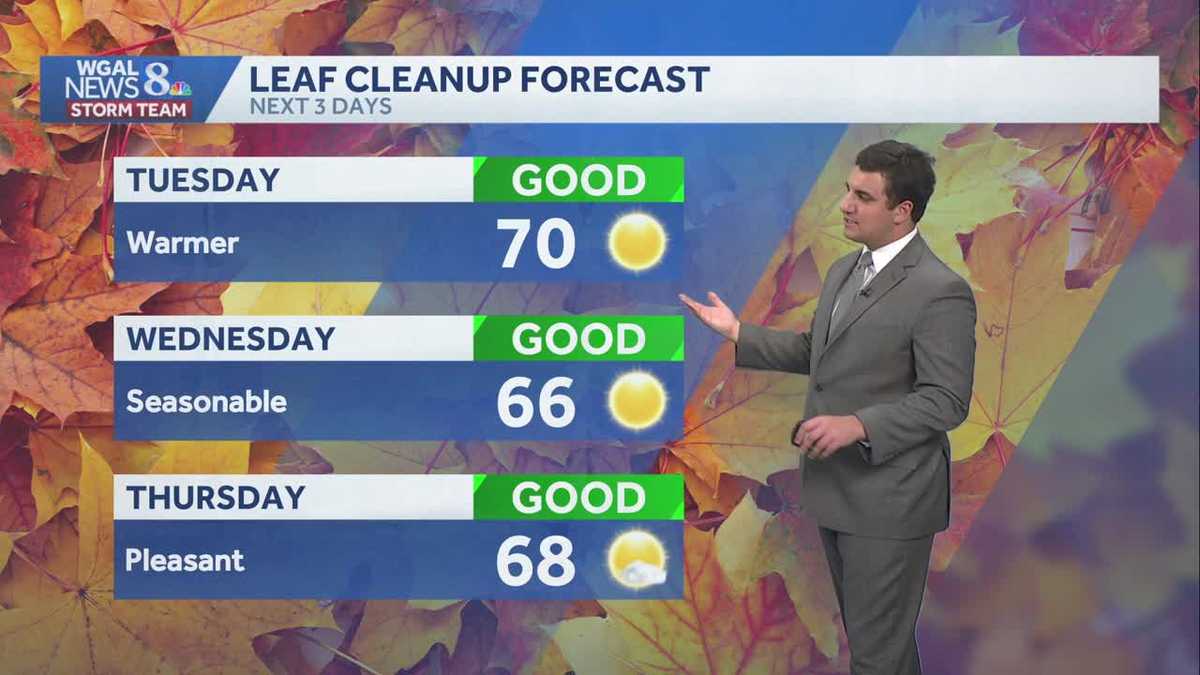 Seasonable sunshine and temperatures continue throughout the week in south central Pennsylvania
At or above average temperatures and 10 days of dry weather ahead. Tuesday looks to be the warmest day of the workweek. Expect bright blue skies and highs climbing to around 70 degrees. From Wednesday through Friday…
-
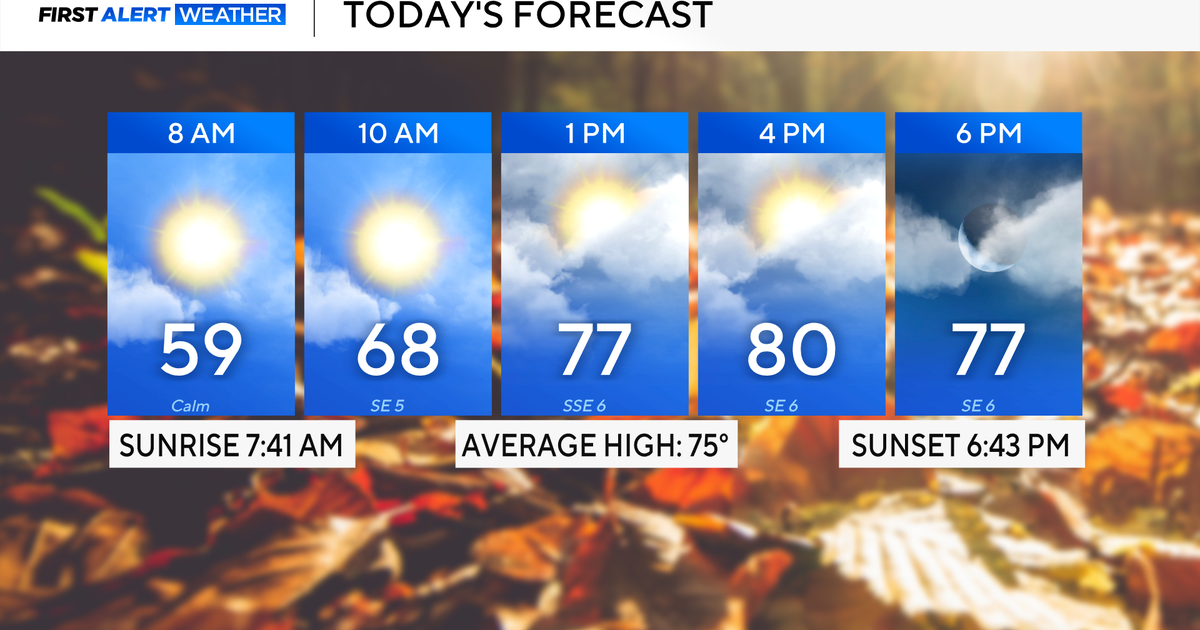 Rain chances on the rise for North Texas this week
October 26, 2026 / 8:16 AM CDT / CBS Texas North Texas woke up to partly to mostly cloudy skies and high temperatures in the 50s and 60s. You'll want to grab that light jacket as you head out the door. We'll continue to…
-
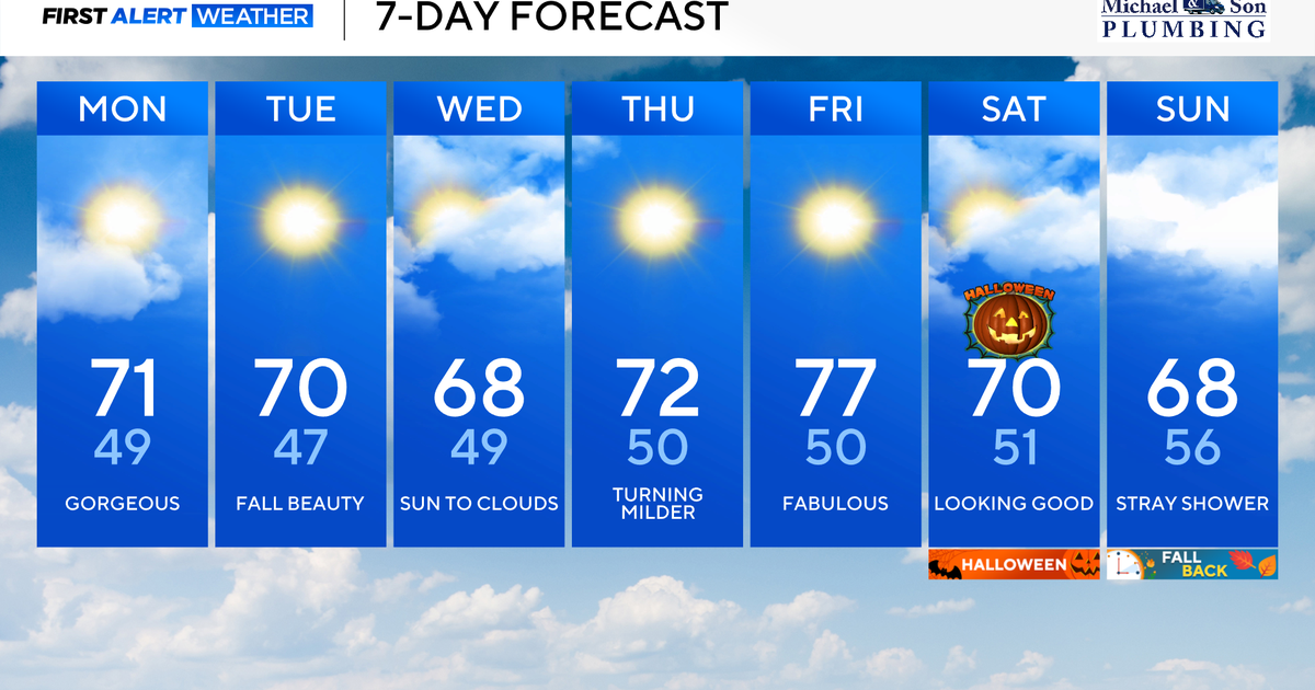 Another stunning week of fall weather coming to Maryland
Updated on: October 26, 2026 / 8:35 AM EDT / CBS Baltimore Get ready for another awesome week of nice fall weather across the state of Maryland. The nice and dry weather should continue into Halloween on Saturday. A…
-
 Widespread rainy weather in Minnesota | Oct. 26, 2026
CBS News Minnesota is a local news organization that is part of CBS News and Stations. Also referred to as WCCO-TV and channel 4, CBS News Minnesota offers local breaking news, weather coverage and investigative…
-
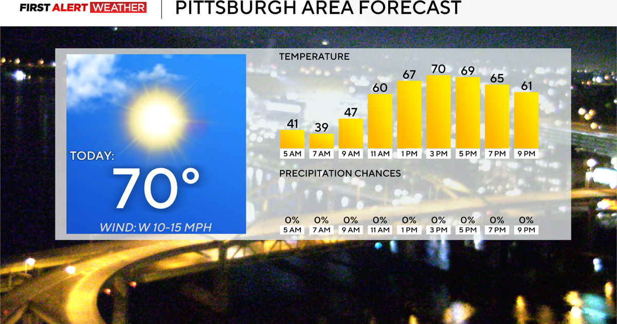 Today will mark 10 straight days without rain for the Pittsburgh area
October 26, 2026 / 7:51 AM EDT / CBS Pittsburgh Today will mark the 10th straight day in the Pittsburgh region with no measurable rain. Any alert days ahead? Nope. Aware: This month will be the sunniest month in…
-
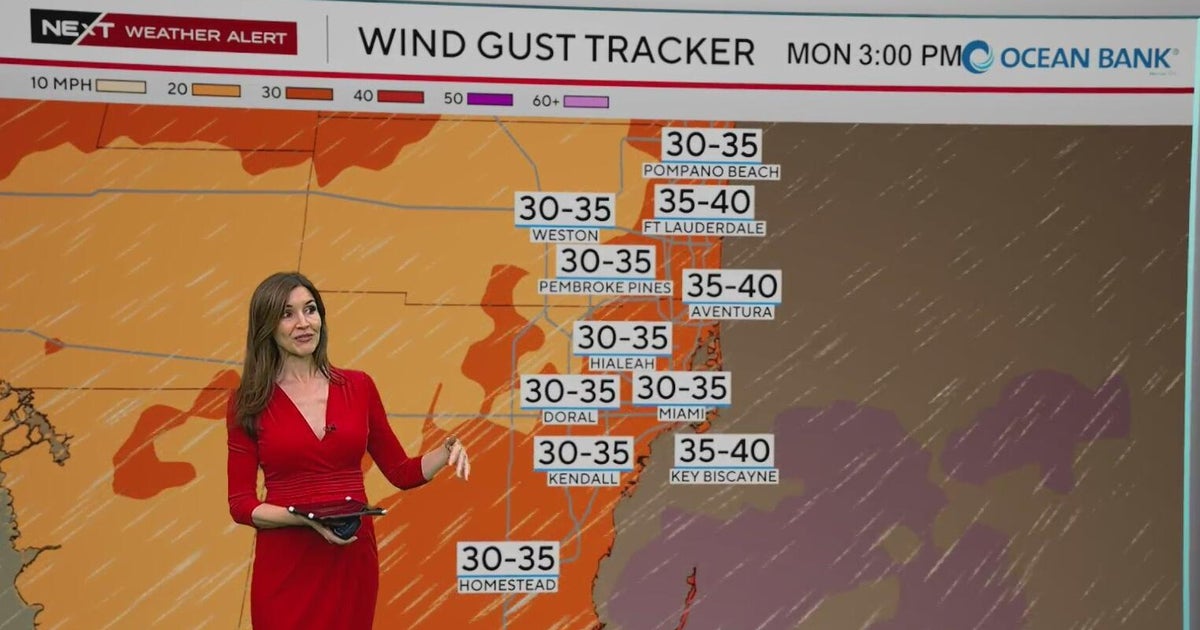 NEXT Weather Alert in effect across South Florida due to king tides, strong winds, heavy downpours
A CBS News Miami NEXT Weather Alert is in effect across South Florida through at least Tuesday due to the combination of king tides, strong onshore winds and heavy downpours. CBS News Miami NEXT Weather meteorologist…
-
 Widespread rain in Minnesota Monday; milder air returns Tuesday
Updated on: October 26, 2026 / 6:42 AM CDT / CBS Minnesota Minnesota will see widespread rain Monday, with the heaviest amounts across the western and central parts of the state. Some areas could see more than an inch…
-
 Stunning photos capture October's Hunter's Moon around the world
A good view for the passengers of this plane flying over San Francisco Bay in California, US The October full Moon lit up skies around the world this weekend. Full Moons throughout the year have traditionally been given…
-
 A wild winter is brewing. Here’s what meteorologists want you to know.
Breaking news and analysis on politics, business, world, national news, entertainment and more. In-depth DC, Virginia, Maryland news coverage including traffic, weather, crime, education, restaurant reviews and more…
-
 Mild and dry fall weather with clear skies in the Philadelphia region | NEXT Weather
CBS News Bay Area Evening Edition 11pm WBZ This Morning 5am CBS News Detroit 5am CBS News Los Angeles Weekend 11pm CBS News Miami 5am CBS News Philadelphia 5am KDKA-TV Morning News 5am
Air quality
Acceptable. Unusually sensitive people should consider limiting prolonged outdoor exertion.
Forecast
- MonGood (45)
- TueGood
Mercer County, PA reporting area · 2 hrs ago. Data from AirNow (EPA and its state, local and tribal partners); preliminary and subject to change.
Sun & moon
Nearby
- Pittsburgh 53 km
- Monroeville 55 km
- Cranberry Township 30 km
- Plum 48 km
- New Castle 38 km
- Allison Park 39 km
- Murrysville 57 km
- Hermitage 57 km
- Wilkinsburg 52 km
- Franklin Park 39 km
- Butler 6 km
- New Kensington 40 km
Forecasters' discussion
From the National Weather Service office in PBZ, issued 2 hrs ago
What Has Changed
Update to Key Messages and Aviation Discussion.
Key Messages
1) Dry, quiet, and above-average temperatures continue through Sunday
Discussion
KEY MESSAGE 1... Confidence remains high that measurable precipitation will remain limited through Sunday as a ridge of high pressure dominates the Ohio River Valley. Persistent southwest flow aloft will support temperatures around 10 degrees above average throughout the week. The potential for frost for freeze conditions remain very low across the remaining counties where the growing season is still ongoing. However, with the November 1st cutoff approaching, the likelihood of issuing additional frost/freeze product is considered very low (less than 10%).
A cold front is expected to move across the region late tonight into early Tuesday morning. Fog may develop along or in the vicinity of the frontal boundary, primarily south of Pittsburgh near I-70 corridor.
Long-range models suggest a potential disturbance developing over the southern Great Plains this weekend and track east or northeast. However, significant run-to-run variability in the projected track continues to contribute to considerable uncertainty in rainfall amounts across the region.
Aviation
VFR favored through the TAF period with varying coverages of passing cirrus.
Light southwest to westerly afternoon winds will veer N to NE with a weak, dry frontal passage aft 00z. Hi-res modeling suggests a low probability for moisture convergence along the stalled boundary to result in fog and/or low stratus near the I-70 corridor between 10z-13z Tuesday but an increase in cirrus precluded stronger TAF mention.
Outlook... Outside of patchy morning river valley fog, high pressure will maintain high confidence in VFR conditions through at least Thursday (low probabilities for cigs return Friday with another stalled boundary) and more likely continues until an upper trough/surface cold front passage sometime after Sunday.
Forecasts, observations and alerts in the United States come from the National Weather Service (NOAA); radar from NOAA's Multi-Radar Multi-Sensor system; satellite imagery from NASA's Global Imagery Browse Services (GIBS) and NOAA's GOES satellites; the map from the U.S. Geological Survey's National Map; air quality from AirNow (EPA and its partners); hurricane information from the National Hurricane Center; climate normals and records from NOAA's Regional Climate Centers (ACIS). Forecasts outside the United States and the UV index: MET Norway (CC BY 4.0); observations outside the U.S.: airport reports via NOAA's Aviation Weather Center. Place names: GeoNames (CC BY 4.0). Data are copied on a schedule and may lag the sources; for warnings that affect your safety, follow your local National Weather Service office and emergency officials. Weather news is drawn from the 4Search index and reflects what the press published. Terms of use. How to use Weather